Adams County is the westernmost county in the U.S. state of Illinois. As of the 2020 census, the population was 65,737. Its county seat is Quincy. Adams County is part of the Quincy, IL–MO Micropolitan Statistical Area.
| Name: | Adams County |
|---|---|
| FIPS code: | 17-001 |
| State: | Illinois |
| Founded: | 1825 |
| Named for: | John Quincy Adams |
| Seat: | Quincy |
| Largest city: | Quincy |
| Total Area: | 871 sq mi (2,260 km²) |
| Land Area: | 855 sq mi (2,210 km²) |
| Total Population: | 65,737 |
| Population Density: | 75/sq mi (29/km²) |
| Time zone: | UTC−6 (Central) |
| Summer Time Zone (DST): | UTC−5 (CDT) |
| Website: | www.co.adams.il.us |
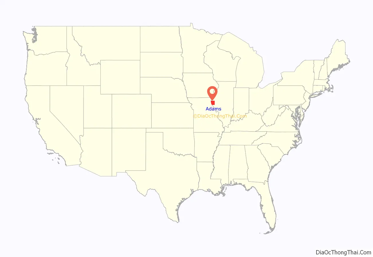
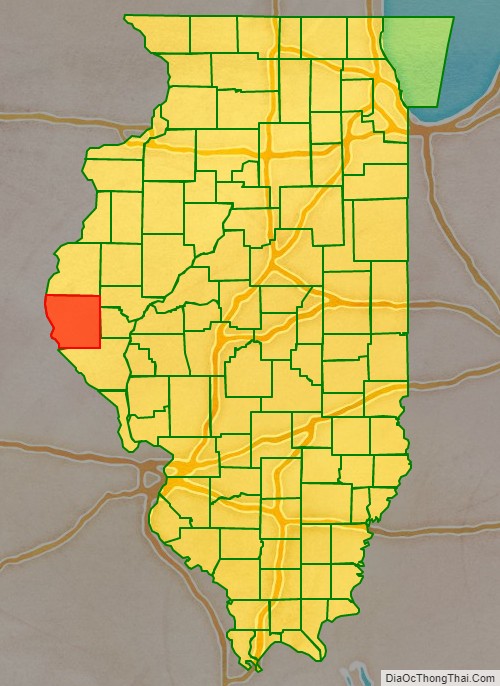
Adams County location map. Where is Adams County?
History
Adams County was formed in 1825 out of Pike County. Its name is in honor of the sixth President of the United States, John Quincy Adams.
When it was created, Hancock County was temporarily attached to Adams until it could organize a county government.
Adams County reduced to its current borders in 1829.
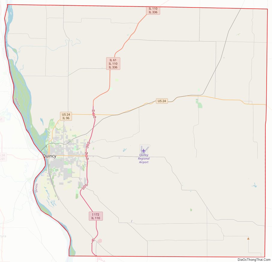
Adams County Road Map
Geography
According to the U.S. Census Bureau, the county has a total area of 871 square miles (2,260 km), of which 855 square miles (2,210 km) is land and 16 square miles (41 km) (1.9%) is water.
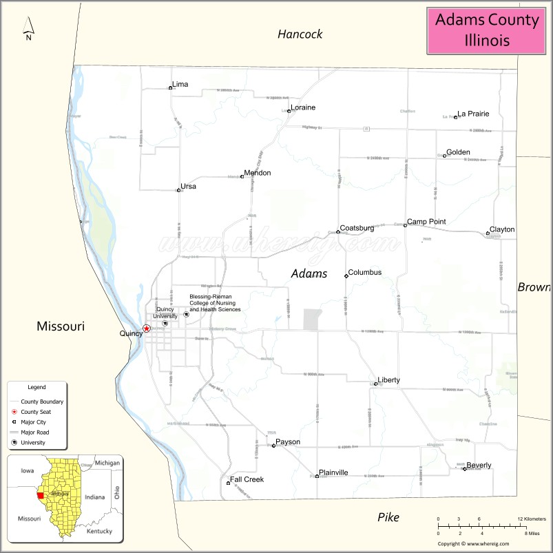
Adjacent counties
- Hancock County – north
- Brown County – east
- Schuyler County – east
- Pike County – south
- Marion County, Missouri – west
- Lewis County, Missouri – west
Public transit
- Quincy Transit Lines
- Quincy station
- Burlington Trailways
- List of intercity bus stops in Illinois
Major highways
- Interstate 172
- US Route 24
- US Route 36
- Illinois Route 57
- Illinois Route 61
- Illinois Route 94
- Illinois Route 96
- Illinois Route 104
- Illinois Route 336
National protected area
- Great River National Wildlife Refuge (part)
Climate and weather
In recent years, average temperatures in the county seat of Quincy have ranged from a low of 16 °F (−9 °C) in January to a high of 88 °F (31 °C) in July, although a record low of −21 °F (−29 °C) was recorded in January 1979 and a record high of 105 °F (41 °C) was recorded in July 2005. Average monthly precipitation ranged from 1.36 inches (35 mm) in January to 4.61 inches (117 mm) in May.
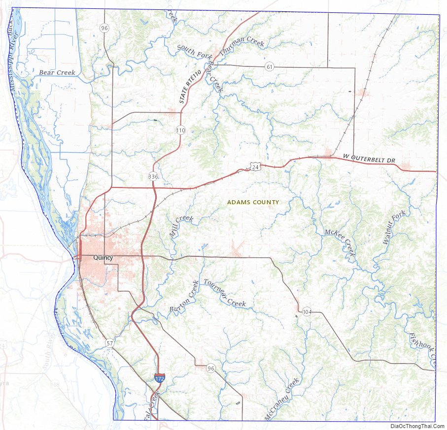
Adams County Topographic Map
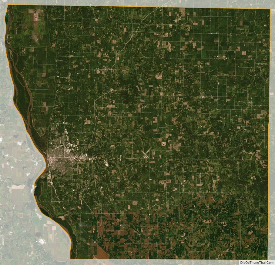
Adams County Satellite Map
Adams County Outline Map