| Name: | Lewis County |
|---|---|
| FIPS code: | 29-111 |
| State: | Missouri |
| Founded: | January 2, 1833 |
| Named for: | Meriwether Lewis |
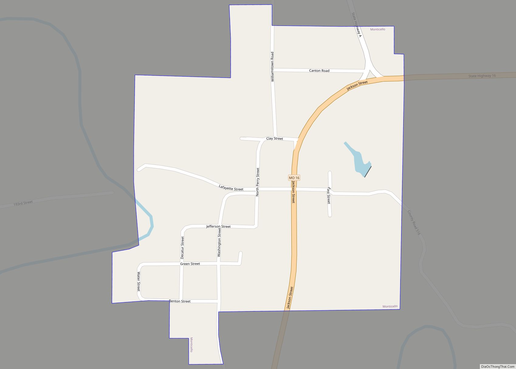
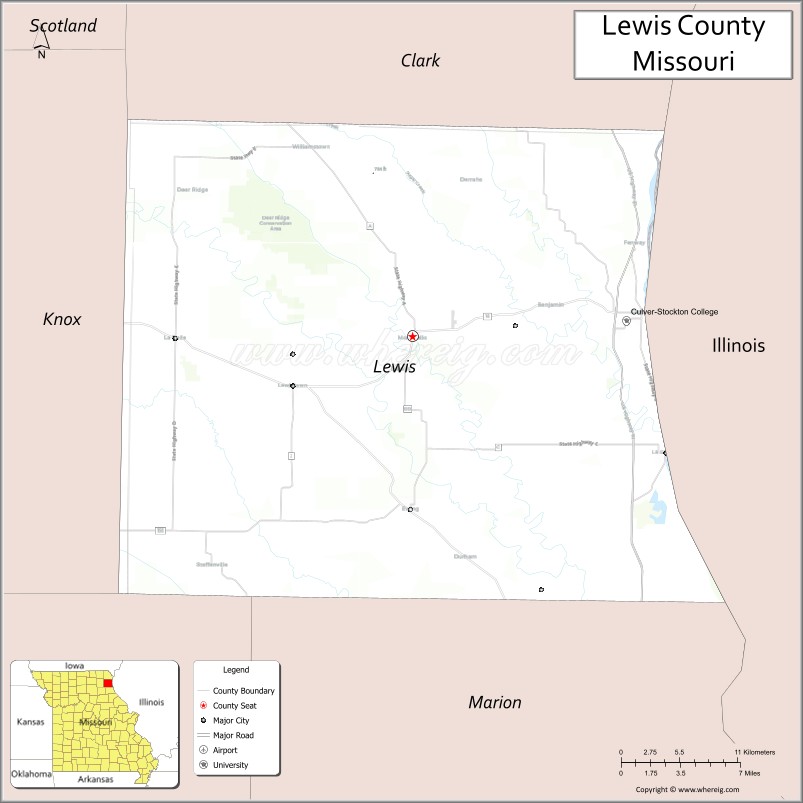
| Seat: | Monticello |
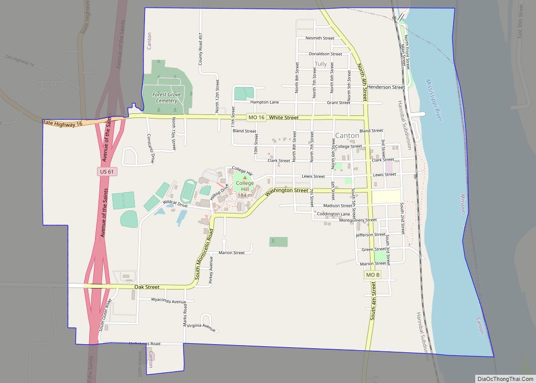
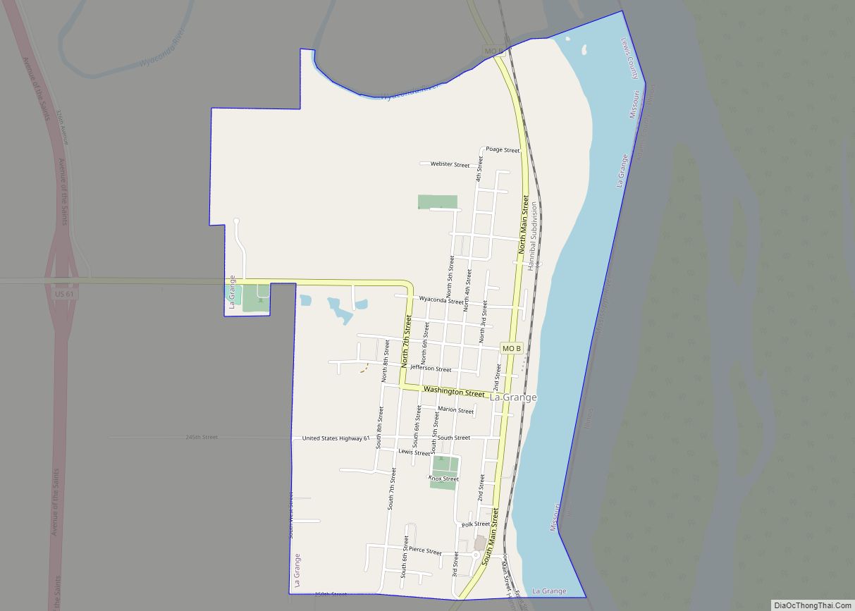
| Largest city: | Canton |
| Total Area: | 511 sq mi (1,320 km²) |
| Land Area: | 505 sq mi (1,310 km²) |
| Total Population: | 10,032 |
| Population Density: | 20/sq mi (7.6/km²) |
| Time zone: | UTC−6 (Central) |
| Summer Time Zone (DST): | UTC−5 (CDT) |
| Website: | lewiscountymo.org |
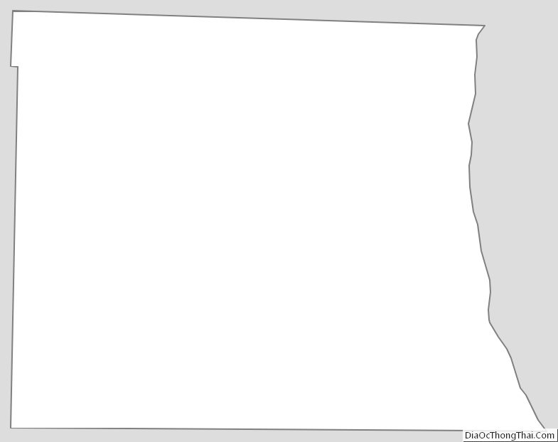
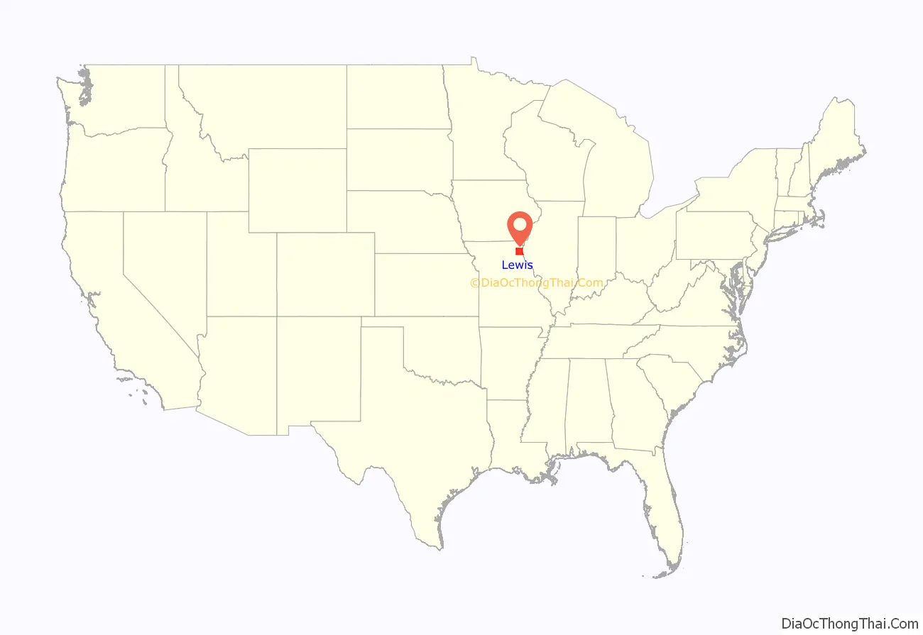
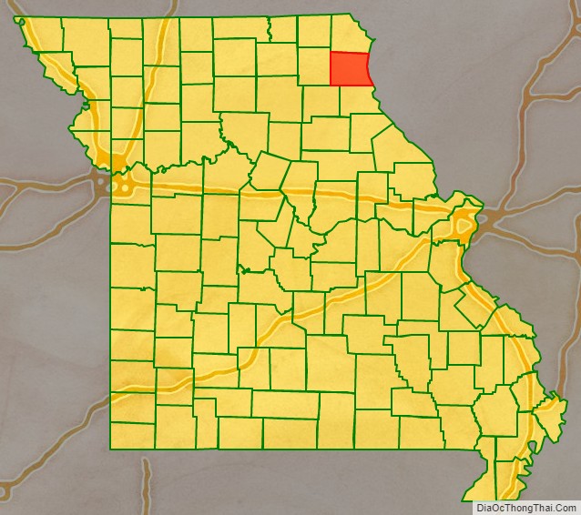
Lewis County location map. Where is Lewis County?
History
Lewis County, located in the northeastern part of Missouri, across the Mississippi River from Illinois. It was established in 1833 and named after Meriwether Lewis of the Lewis and Clark Expedition. The county was largely settled by farmers from Virginia and Kentucky. They brought slaves and were attracted to the fertile land and easy river transportation. The economy was based on subsistance agriculture, timber harvesting, and lead mining. In addition. Canton supplied riverboats on the Mississippi. During the Civil War, the county became the base for rival pro-Confederate and pro-Union sympathizers; there was some violence but the Unionists prevailed.
After the Civil War, the slaves were emancipated and the county’s economy shifted towards commercial agriculture, with the production of corn, wheat and timber that were shipped through Canton, a port on the Mississippi River. In the late 19th and early 20th century, farm youth moved into small towns, particularly in the western part of the county. Mark Twain lived in the county briefly and was inspired by the natural beauty of the river region for his writing.
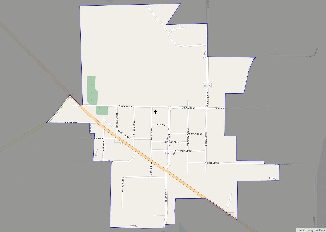
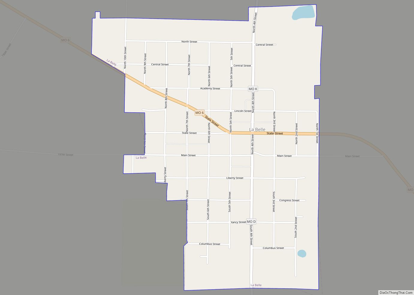
Today, Lewis County is all rural, with a few small towns under 2500 population, and Canton at 2800. The economy us built on soybeans, corn and timber, as well as higher education. Canton is the home of Culver–Stockton College. The National Register of Historic Places celebrates 12 historic locations in the county.
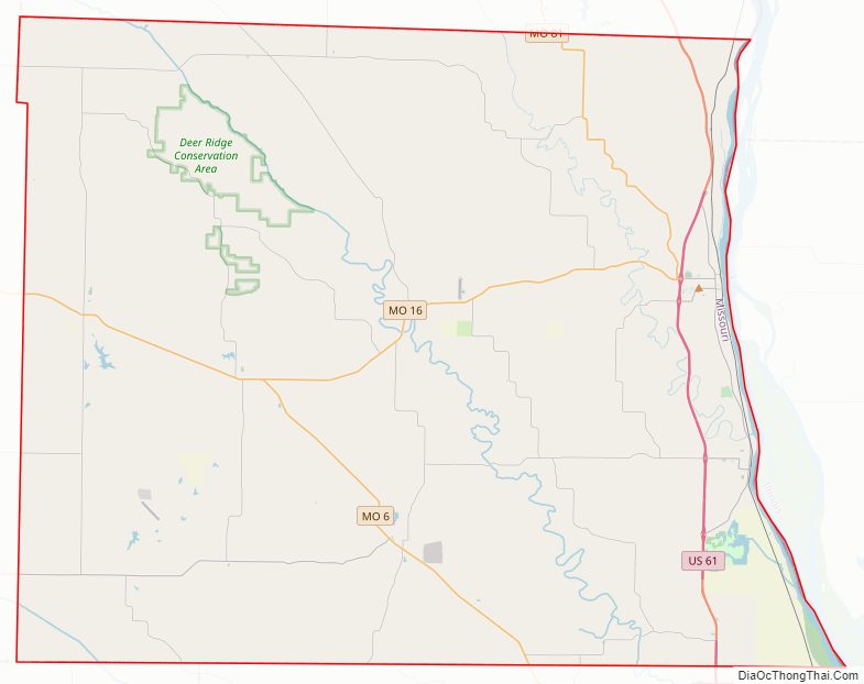
Lewis County Road Map
Geography
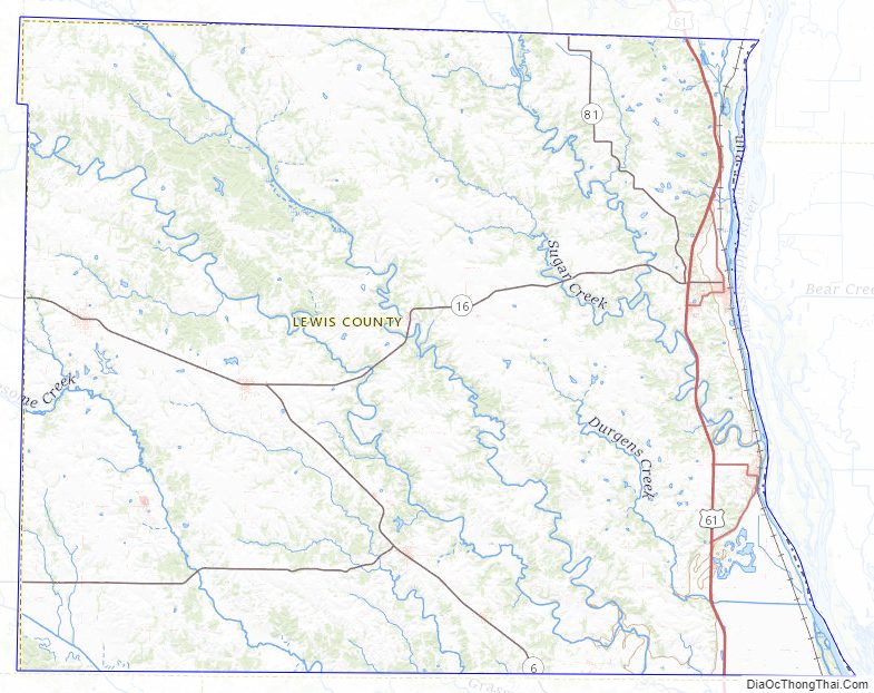
According to the U.S. Census Bureau, the county has a total area of 511 square miles (1,320 km), of which 505 square miles (1,310 km) is land and 5.8 square miles (15 km) (1.1%) is water.
Adjacent counties
- Clark County (north)
- Hancock County, Illinois (northeast)
- Adams County, Illinois (southeast)
- Marion County (south)
- Shelby County (southwest)
- Knox County (west)
Major highways
- U.S. Route 61
- Route 6
- Route 81
- Route 156
Lewis County Topographic Map
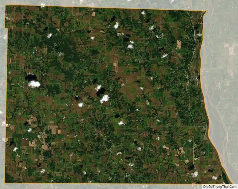
Lewis County Satellite Map
Lewis County Outline Map