Adams County is a county in the U.S. state of Iowa. As of the 2020 census, the population was 3,704, making it Iowa’s least-populous county. Its county seat is Corning.
| Name: | Adams County |
|---|---|
| FIPS code: | 19-003 |
| State: | Iowa |
| Founded: | March 12, 1853 |
| Named for: | John Adams |
| Seat: | Corning |
| Largest city: | Corning |
| Total Area: | 426 sq mi (1,100 km²) |
| Land Area: | 423 sq mi (1,100 km²) |
| Total Population: | 3,704 |
| Population Density: | 8.7/sq mi (3.4/km²) |
| Time zone: | UTC−6 (Central) |
| Summer Time Zone (DST): | UTC−5 (CDT) |
| Website: | adamscounty.iowa.gov |
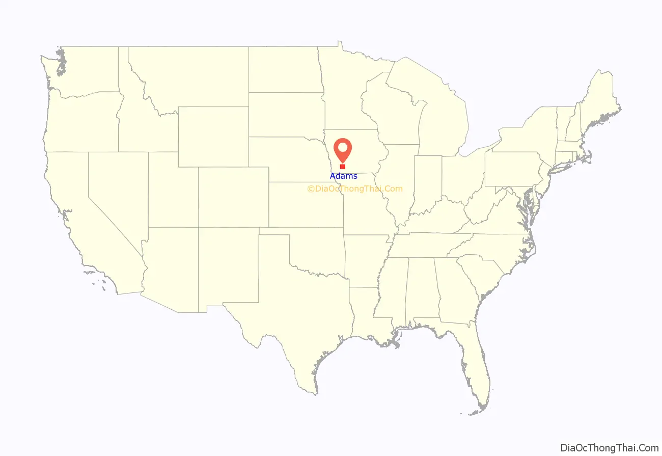
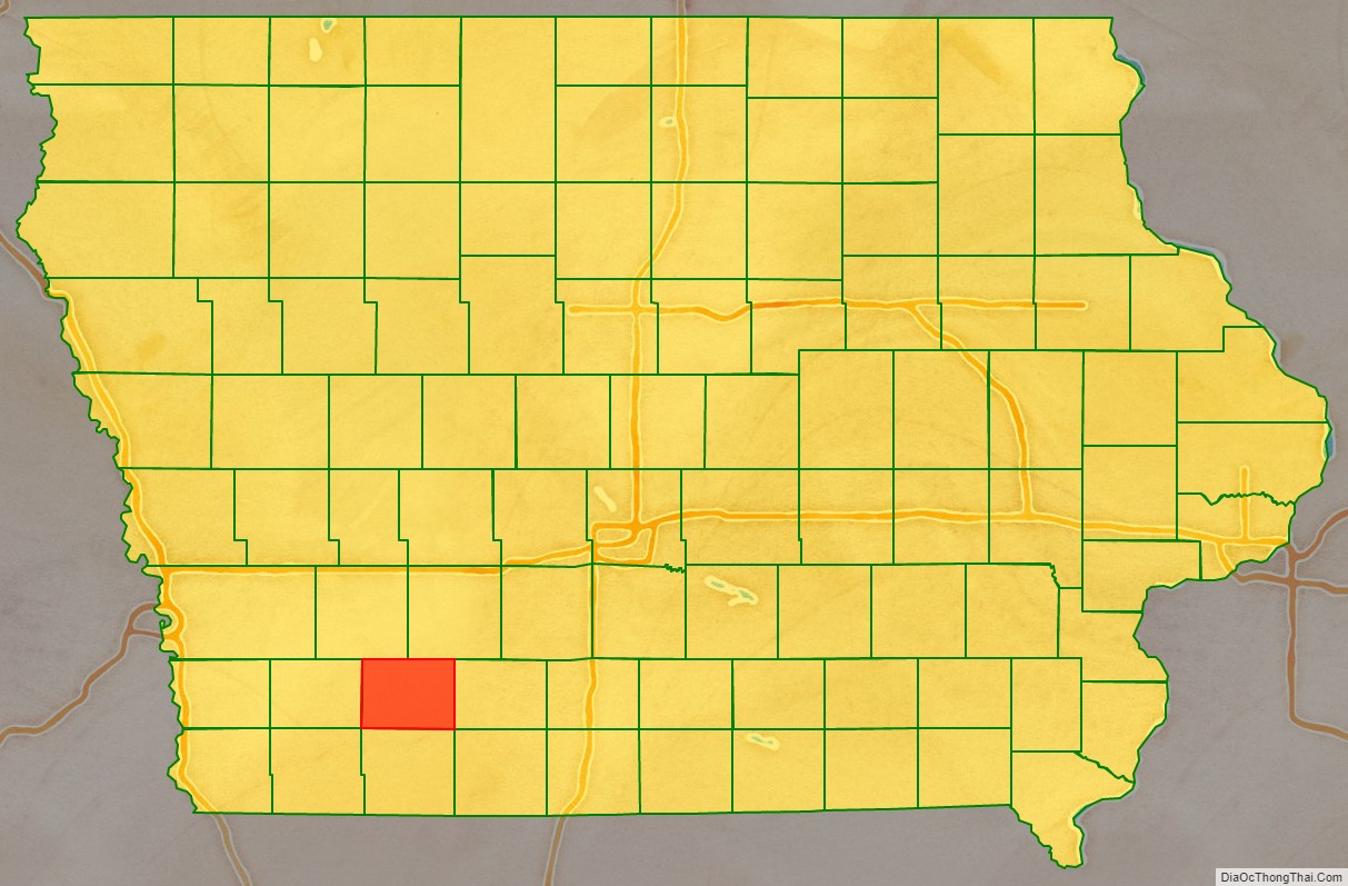
Adams County location map. Where is Adams County?
History
Adams County was established by the state legislature in 1851 and named in honor of the second President of the United States, John Adams, or his son, the sixth President, John Quincy Adams (sources differ). The county was finally organized and separated from Pottawattamie County on March 12, 1853. Its original size was later reduced by the creation of Montgomery and Union counties.
The first county seat was Quincy, Iowa. In 1872, it was moved to Corning.
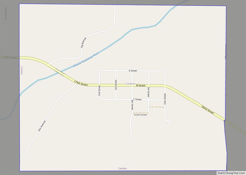
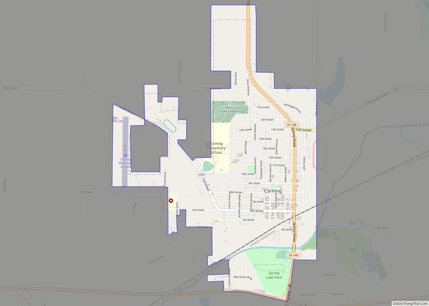
Adams County Road Map
Geography
According to the U.S. Census Bureau, the county has a total area of 426 square miles (1,100 km), of which 423 square miles (1,100 km) is land and 2.1 square miles (5.4 km) (0.5%) is water.
Major highways
- U.S. Highway 34
- Iowa Highway 148
Adjacent counties
- Cass County (northwest)
- Adair County (northeast)
- Union County (east)
- Taylor County (south)
- Montgomery County (west)
