Addison County is a county located in the U.S. state of Vermont. As of the 2020 census, the population was 37,363. Its shire town (county seat) is the town of Middlebury.
| Name: | Addison County |
|---|---|
| FIPS code: | 50-001 |
| State: | Vermont |
| Founded: | 1785 |
| Named for: | Joseph Addison |
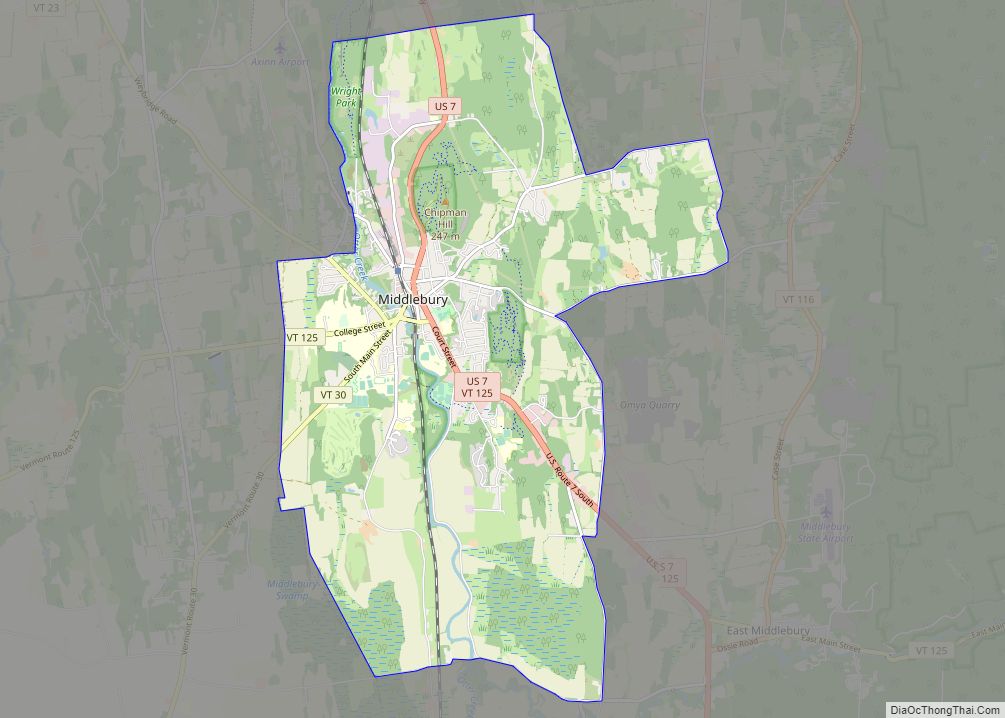
| Largest town: | Middlebury |
| Total Area: | 808 sq mi (2,090 km²) |
| Land Area: | 766 sq mi (1,980 km²) |
| Total Population: | 37,363 |
| Population Density: | 46/sq mi (18/km²) |
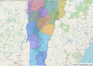
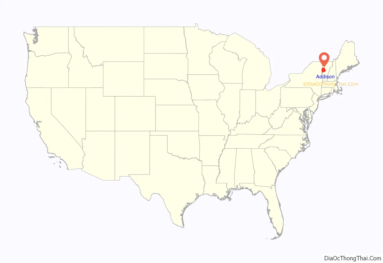
Addison County location map. Where is Addison County?
History
Iroquois settled in the county before Europeans arrived in 1609. French settlers in Crown Point, New York extended their settlements across Lake Champlain. A few individuals or families came up the lake from Canada and established themselves at Chimney Point in 1730. In 1731, Fort Frederic was erected at Cross Point. In 1759, General Amherst occupied Cross Point and British settlers came in. The Battle of Bennington in Bennington, fought on August 16, 1777, brought a turning point for the American independence against British.
Addison County was established by act of the Legislature October 18, 1785, during the period of Vermont Republic. In 1791, Vermont joined the federal union after the original thirteen colonies. The main product of the county was wheat. In the 1820s farmers began to raise sheep. The Champlain Canal was opened on 1823, making it possible for ships to navigate from the Hudson River. In 1840, the county produced more wool than any other county in the United States.
When Vermont was admitted into the Union in 1791, there were 9,267 people living in Addison County. By 1830, the population had grown to 26,503 people.
In 2008, the federal government declared the county a disaster area after severe storms and flooding June 14–17.
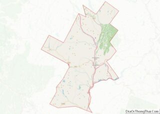
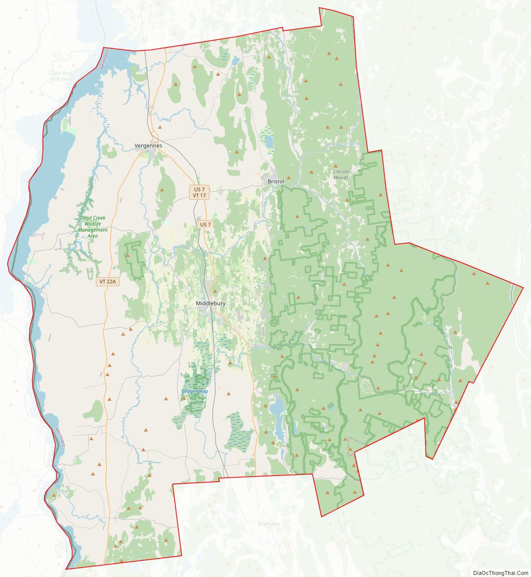
Addison County Road Map
Geography
According to the U.S. Census Bureau, the county has a total area of 808 square miles (2,090 km), of which 766 square miles (1,980 km) is land and 41 square miles (110 km) (5.1%) is water. It is the third-largest county in Vermont by total area.
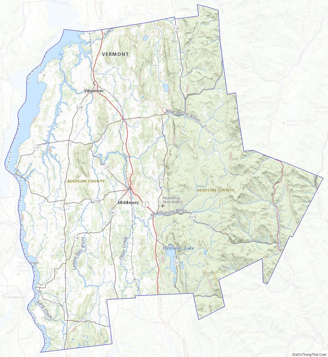
Addison County is located in the western half of the state of Vermont and nearly in the center north and south; between 43° 50′ and 44° 10′ north latitude. The primary stream of the county is Otter Creek, which runs through the county from the south to the north.
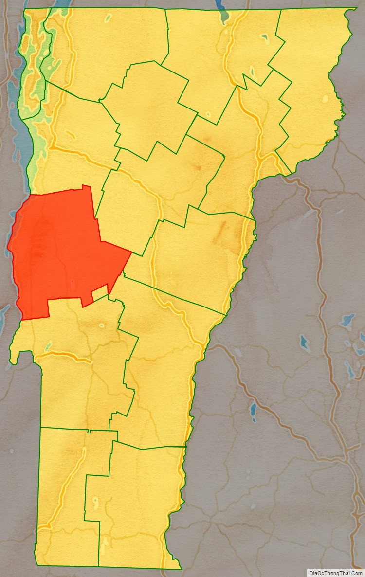
Adjacent counties
- Chittenden County – north
- Washington County – northeast
- Orange County – east
- Windsor County – southeast
- Rutland County – south
- Washington County, New York – southwest
- Essex County, New York – west
National protected area
- Green Mountain National Forest (part)
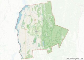
Addison County Topographic Map
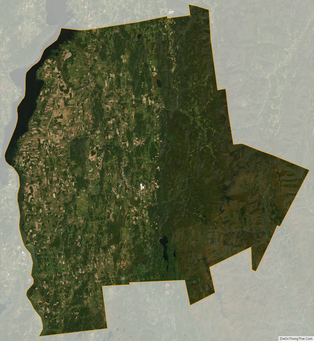
Addison County Satellite Map
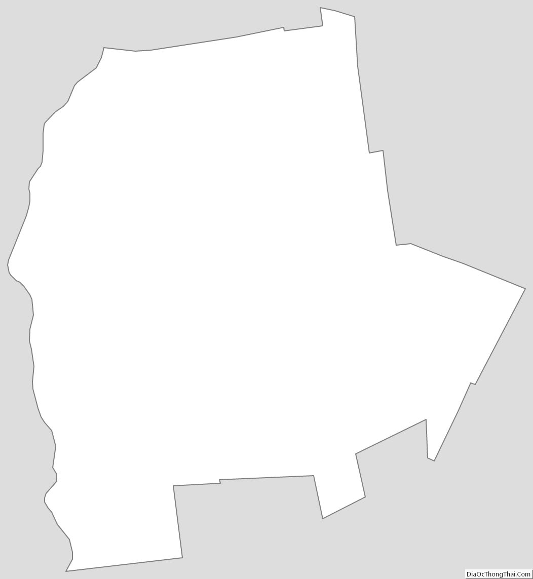
Addison County Outline Map