Alexander County is a county established in the U.S. state of North Carolina in 1847. As of the 2020 census, the population was 36,444. Its county seat is Taylorsville. Alexander County is part of the Hickory–Lenoir–Morganton, NC Metropolitan Statistical Area.
| Name: | Alexander County |
|---|---|
| FIPS code: | 37-003 |
| State: | North Carolina |
| Founded: | 1847 |
| Named for: | William Julius Alexander |
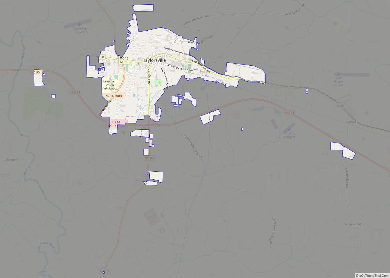
| Seat: | Taylorsville |
| Total Area: | 264 sq mi (680 km²) |
| Land Area: | 260 sq mi (700 km²) |
| Total Population: | 36,644 |
| Population Density: | 141/sq mi (54/km²) |
| Time zone: | UTC−5 (Eastern) |
| Summer Time Zone (DST): | UTC−4 (EDT) |
| Website: | alexandercountync.gov |
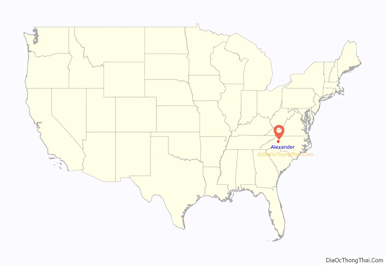
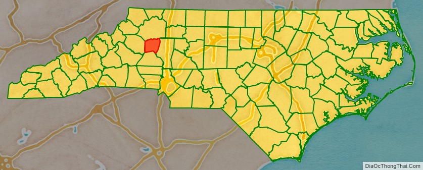
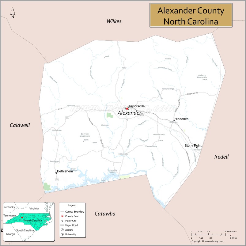
Alexander County location map. Where is Alexander County?
History
Alexander County was formed in 1847 from portions of what were then Iredell (formed in 1788 from Rowan County), Caldwell (formed from Burke County in 1841), and Wilkes (formed from Surry County and Washington District in 1771) counties.
Alexander County was named for William Julius Alexander who was a Speaker of the North Carolina House of Commons. This Piedmont area was settled primarily by farmers, many of Scots-Irish descent, as well as German descent in the southern section of Alexander County.
The county was established by two acts of the North Carolina General Assembly, one ratified on January 15 and one ratified on January 18, 1847. These acts were not to take effect until it was determined that Caldwell County would have 5,000 people in it. On August 10–11, 1847, the first sale of land in the county seat (Taylorsville) took place. Taylorsville is the namesake of either John Louis Taylor, Carolina agriculturist and political philosopher, or General Zachary Taylor, the twelfth president of the United States. With the proceeds from the sale, the county built the first courthouse on the present site.
When the American Civil War began in 1861, Alexander County was fourteen years old. The court house records in Taylorsville were destroyed by troops under Major General George Stoneman in a raid on Easter Sunday in 1865.
The Alexander Railroad based in Taylorsville began in 1946, with one connection to Norfolk Southern in Statesville, North Carolina. The short line rail system operates between Taylorsville and Statesville.
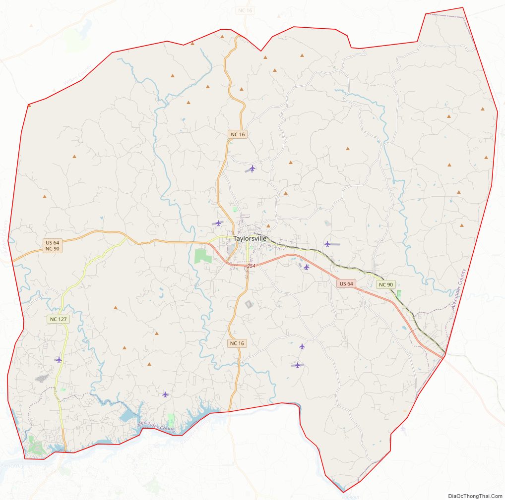
Alexander County Road Map
Geography
According to the U.S. Census Bureau, the county has a total area of 264 square miles (680 km), of which 260 square miles (670 km) is land and 3.7 square miles (9.6 km) (1.4%) is water.
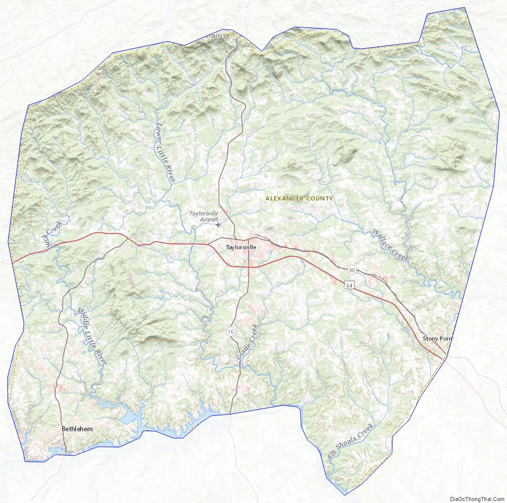
Alexander County is located within the Foothills region of western North Carolina. The county’s main geographic feature is the Brushy Mountains, a deeply eroded spur of the Blue Ridge Mountains to the west. The “Brushies,” as they are called locally, rise from 300 to 1,000 feet (300 m) above the surrounding countryside, and dominate the county’s northern horizon. The highest point in Alexander County is Hickory Knob in the Brushies; it has an elevation of 2,560 feet (780 m) above sea level. Barrett Mountain, an isolated mountain ridge, is in the western part of the county. The remainder of Alexander County’s terrain consists of gently rolling countryside. The county’s largest river, the Catawba, forms its southern border.
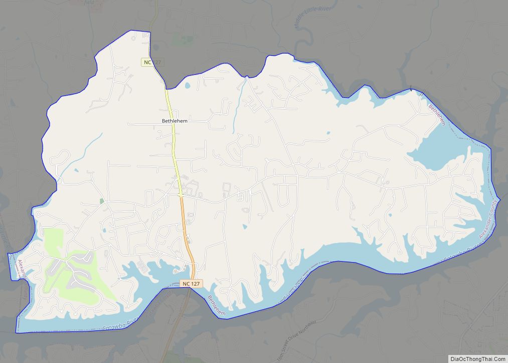
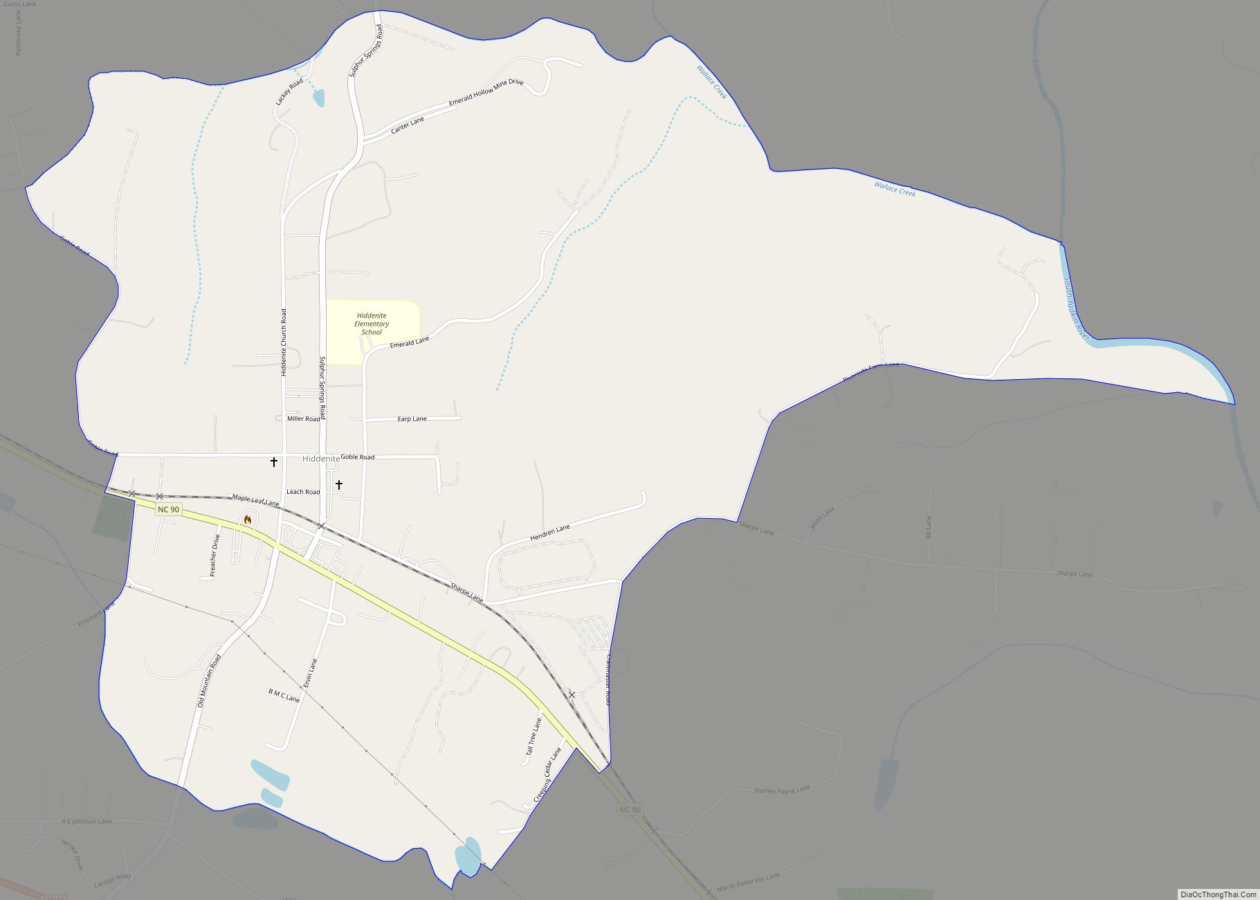
Within Alexander County is the unincorporated town of Hiddenite, the location of a mine that yields emeralds, sapphires, and its namesake stone “hiddenite,” a variety of spodumene.
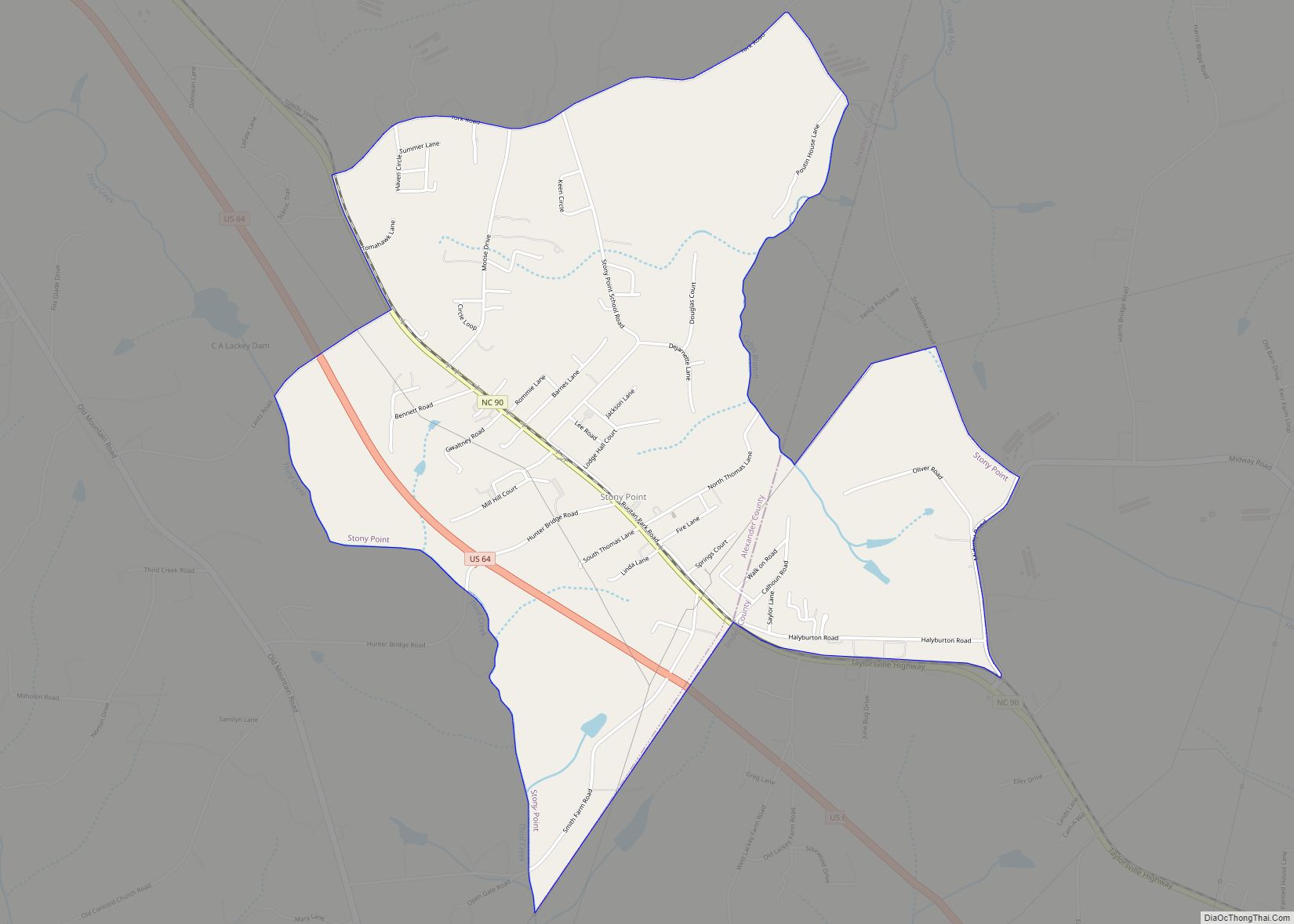
The county is served by US Highway 64, a controlled-access roadway connecting Taylorsville with Lenoir and Statesville. NC Highways 90, 16, and 127 also serve the county. Interstate 40 and 77 are 30 minutes from the majority of county residents. The Charlotte Douglas International Airport is an hour’s drive from most parts of the county. The area is also served by the Hickory Regional Airport (30 minutes) and the Statesville Airport (20 minutes). The Alexander Railroad Company is an active short-line rail system operating between Taylorsville and Statesville, and connecting with Norfolk Southern.
State and local protected area
- Rocky Face Mountain Recreational Area
Major water bodies
- Catawba River
- Cub Creek
- Duck Creek
- Elk Shoals Creek
- Grassy Creek (Elkin Creek tributary)
- Lake Hickory
- Lookout Shoals Lake
- Lower Little River
- Middle Little River
- Mill Creek
- Muddy Fork
- Rink Lake
- Rock Creek
- Rocky Creek
- Shuford Pond
- South Yadkin River
- Spring Creek
- Third Creek
- Wallace Creek
- White Creek
Adjacent counties
- Wilkes County – north
- Iredell County – east
- Catawba County – south
- Caldwell County – west
Major highways
- US 64
- NC 16
- NC 16 Truck (Truck Route)
- NC 90
- NC 127
Major infrastructure
- The county is served by one railroad, the Alexander Railroad Company.
Alexander County Topographic Map
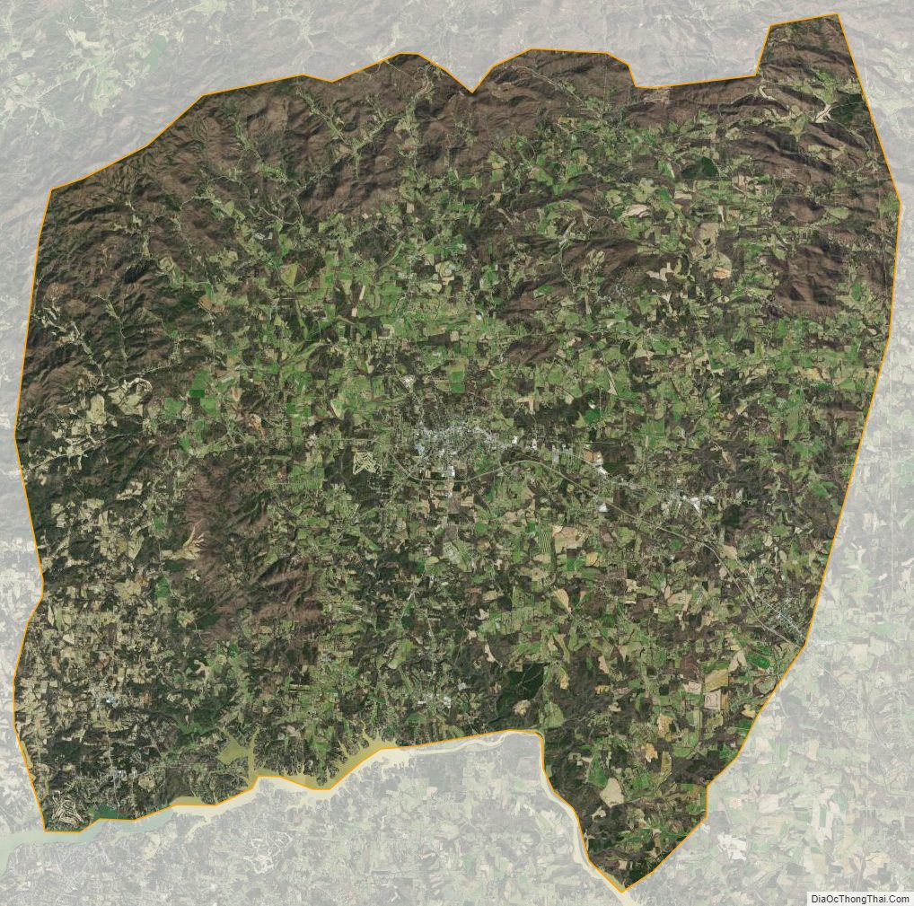
Alexander County Satellite Map
Alexander County Outline Map