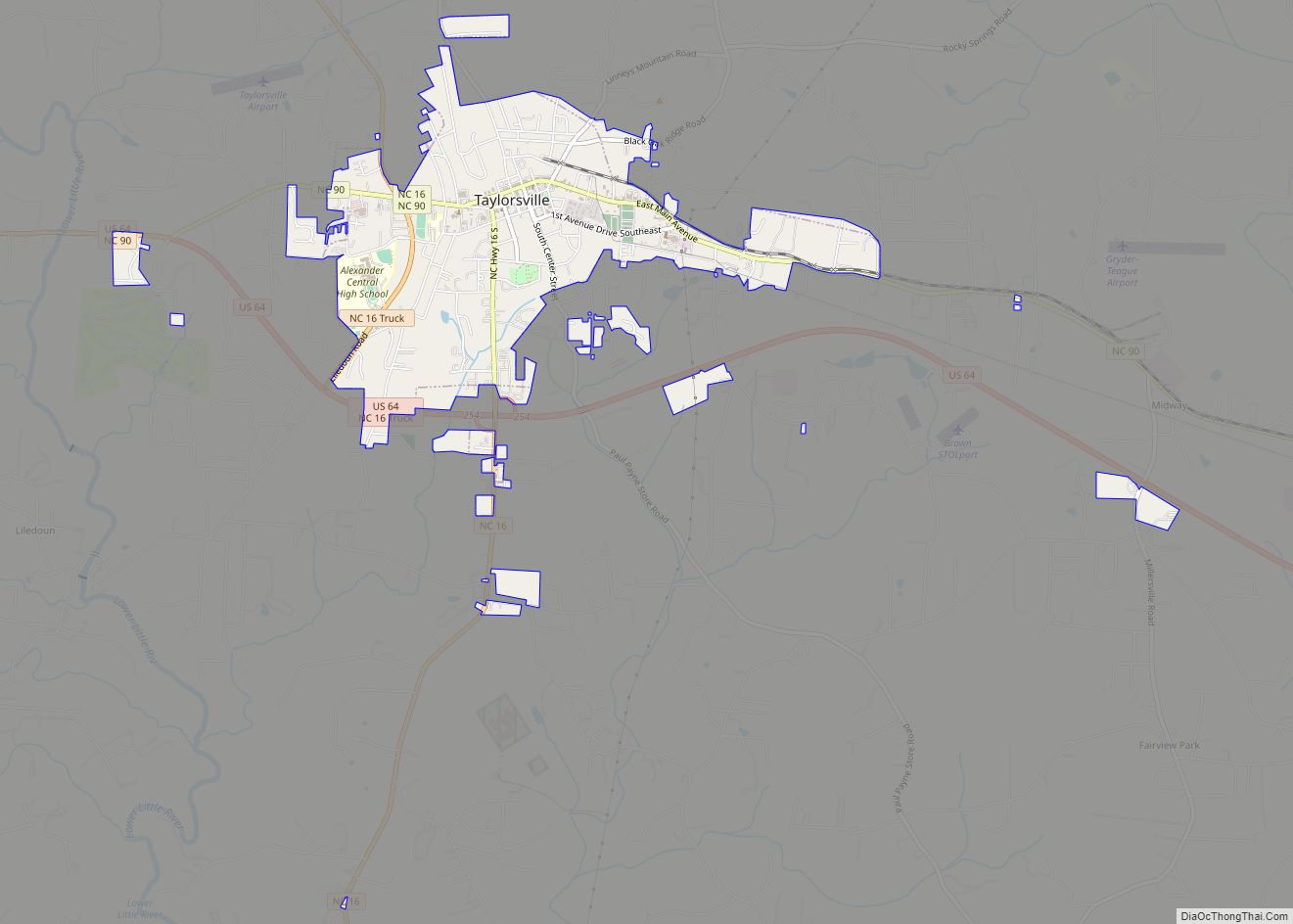
Taylorsville is a town in Alexander County, North Carolina, United States. The population was 2,098 at the 2010 census. It is the county seat of Alexander County.
Taylorsville is part of the Hickory–Lenoir–Morganton Metropolitan Statistical Area.
| Name: | Taylorsville town |
|---|---|
| LSAD Code: | 43 |
| LSAD Description: | town (suffix) |
| State: | North Carolina |
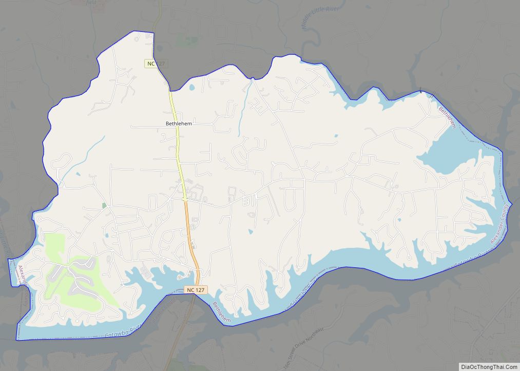
| County: | Alexander County |
| Elevation: | 1,237 ft (377 m) |
| Total Area: | 2.40 sq mi (6.21 km²) |
| Land Area: | 2.40 sq mi (6.20 km²) |
| Water Area: | 0.00 sq mi (0.01 km²) |
| Total Population: | 2,320 |
| Population Density: | 968.68/sq mi (373.94/km²) |
| ZIP code: | 28681 |
| Area code: | 828 |
| FIPS code: | 3766960 |
| GNISfeature ID: | 995905 |
| Website: | www.taylorsvillenc.com |
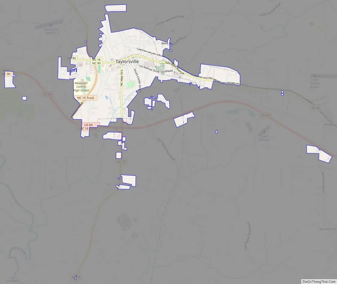
Online Interactive Map
Click on ![]() to view map in "full screen" mode.
to view map in "full screen" mode.
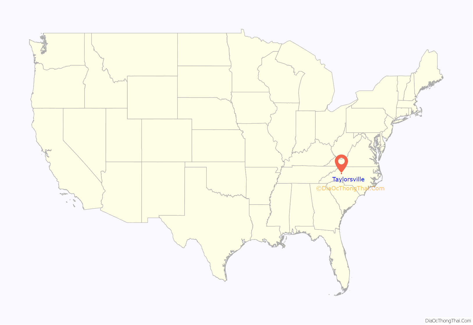
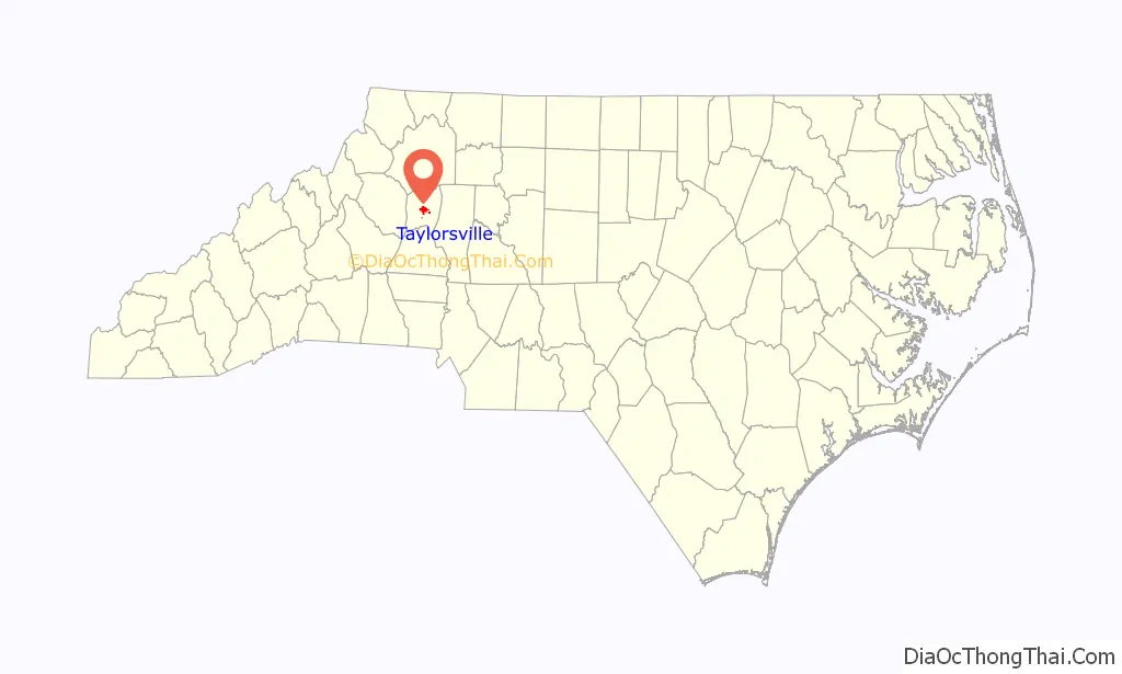
Taylorsville location map. Where is Taylorsville town?
History
The town of Taylorsville was formed in 1847 along with Alexander County. A commission of William Dula of Caldwell County, Dr. James Calloway of Wilkes County, Milton Campbell of Iredell County, and Robert Allen, Reuben Watts and Robert L. Steel of Alexander County were named to select a site as near the center of the county as possible for the seat of justice. The town was named Taylorsville in honor of General Zachary Taylor who at that time was in Mexico engaged in the Mexican–American War.
The land for the town was donated by J.M. Bogle who gave 22 acres (89,000 m), William Matheson who gave 13 acres (53,000 m) and James James who gave 113⁄4 acres for a total of 463⁄4 acres. Most of the land was woodland, and the road from Statesville to Morganton passed to the south of town.
A commission of Alexander C. McIntosh, R.L. Steel, Sion Harrington, J.H. Newland, and George Swain, treasurer, were appointed to lay out the town of Taylorsville and sell lots to raise money for the building of a courthouse and jail. An auction of lots was held August 11, 1847, and 47 lots were sold. The second sale was November 30, 1847, and 10 lots were sold. At a third auction on March 8, 1848, five lots were sold. The total amounted to $6,674.75.
The town of Taylorsville was incorporated in 1851. The first mayor was John Watts and was appointed by the commissioners. The boundaries of the incorporated town were square, with each side 160 poles or one-half mile long.
Taylorsville Road Map
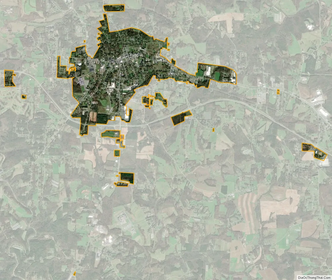
Taylorsville city Satellite Map
Geography
According to the United States Census Bureau, the town has a total area of 2.4 square miles (6.1 km), of which 0.0039 square miles (0.01 km), or 0.17%, is water.
See also
Map of North Carolina State and its subdivision:- Alamance
- Alexander
- Alleghany
- Anson
- Ashe
- Avery
- Beaufort
- Bertie
- Bladen
- Brunswick
- Buncombe
- Burke
- Cabarrus
- Caldwell
- Camden
- Carteret
- Caswell
- Catawba
- Chatham
- Cherokee
- Chowan
- Clay
- Cleveland
- Columbus
- Craven
- Cumberland
- Currituck
- Dare
- Davidson
- Davie
- Duplin
- Durham
- Edgecombe
- Forsyth
- Franklin
- Gaston
- Gates
- Graham
- Granville
- Greene
- Guilford
- Halifax
- Harnett
- Haywood
- Henderson
- Hertford
- Hoke
- Hyde
- Iredell
- Jackson
- Johnston
- Jones
- Lee
- Lenoir
- Lincoln
- Macon
- Madison
- Martin
- McDowell
- Mecklenburg
- Mitchell
- Montgomery
- Moore
- Nash
- New Hanover
- Northampton
- Onslow
- Orange
- Pamlico
- Pasquotank
- Pender
- Perquimans
- Person
- Pitt
- Polk
- Randolph
- Richmond
- Robeson
- Rockingham
- Rowan
- Rutherford
- Sampson
- Scotland
- Stanly
- Stokes
- Surry
- Swain
- Transylvania
- Tyrrell
- Union
- Vance
- Wake
- Warren
- Washington
- Watauga
- Wayne
- Wilkes
- Wilson
- Yadkin
- Yancey
- Alabama
- Alaska
- Arizona
- Arkansas
- California
- Colorado
- Connecticut
- Delaware
- District of Columbia
- Florida
- Georgia
- Hawaii
- Idaho
- Illinois
- Indiana
- Iowa
- Kansas
- Kentucky
- Louisiana
- Maine
- Maryland
- Massachusetts
- Michigan
- Minnesota
- Mississippi
- Missouri
- Montana
- Nebraska
- Nevada
- New Hampshire
- New Jersey
- New Mexico
- New York
- North Carolina
- North Dakota
- Ohio
- Oklahoma
- Oregon
- Pennsylvania
- Rhode Island
- South Carolina
- South Dakota
- Tennessee
- Texas
- Utah
- Vermont
- Virginia
- Washington
- West Virginia
- Wisconsin
- Wyoming