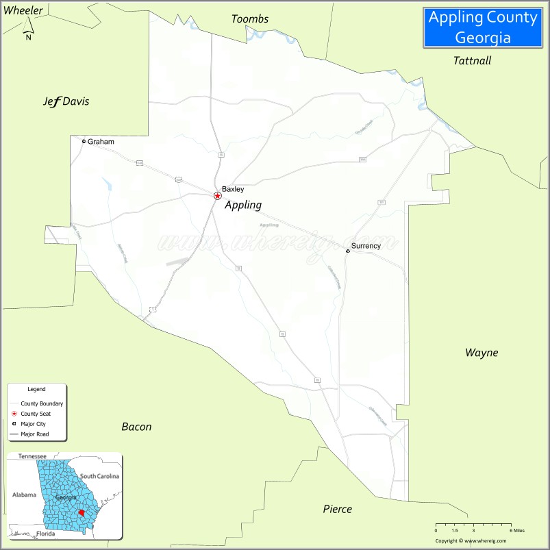
Appling County is a county located in the southeastern part of the U.S. state of Georgia. As of the 2020 census, the population was 18,444. The county seat is Baxley.
| Name: | Appling County |
|---|---|
| FIPS code: | 13-001 |
| State: | Georgia |
| Founded: | 1818 |
| Named for: | Daniel Appling |
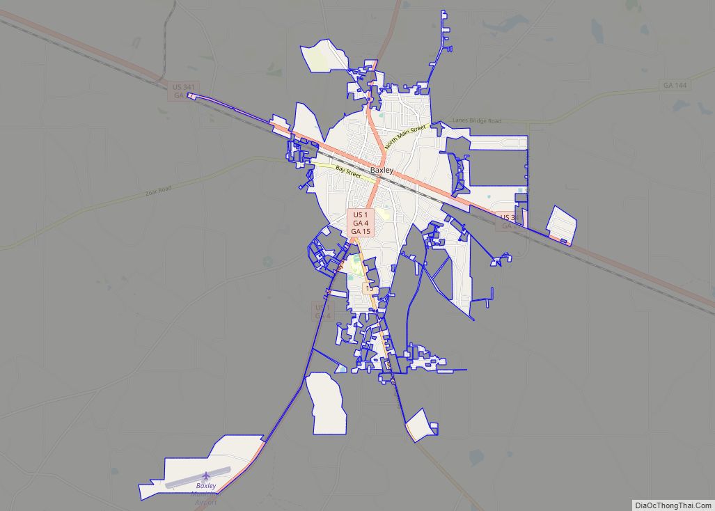
| Seat: | Baxley |
| Largest city: | Baxley |
| Total Area: | 512 sq mi (1,330 km²) |
| Land Area: | 507 sq mi (1,310 km²) |
| Total Population: | 18,444 |
| Population Density: | 36/sq mi (14/km²) |
| Time zone: | UTC−5 (Eastern) |
| Summer Time Zone (DST): | UTC−4 (EDT) |
| Website: | www.baxley.org |
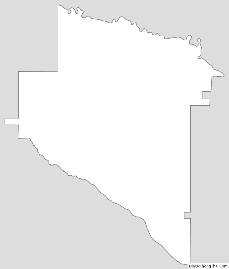
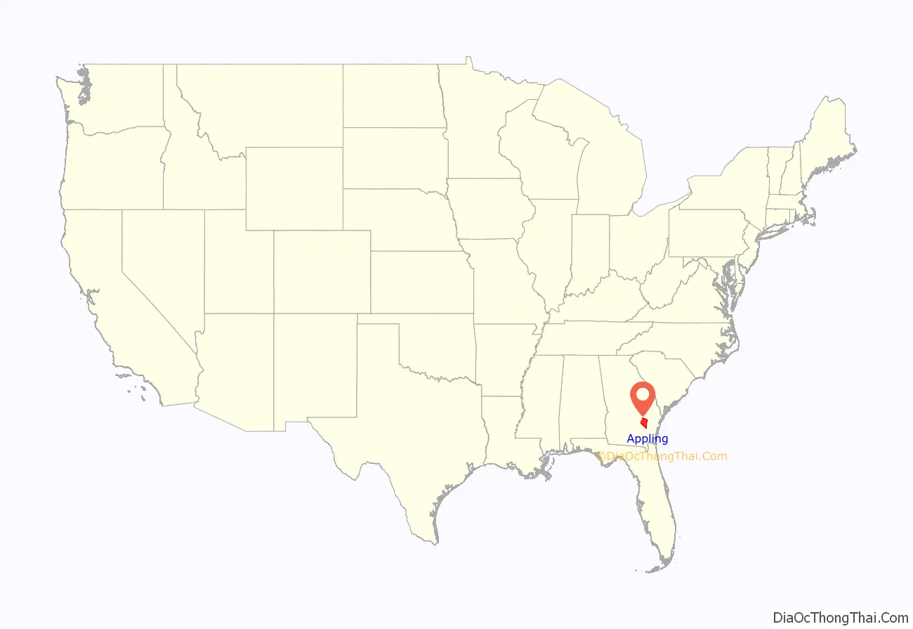
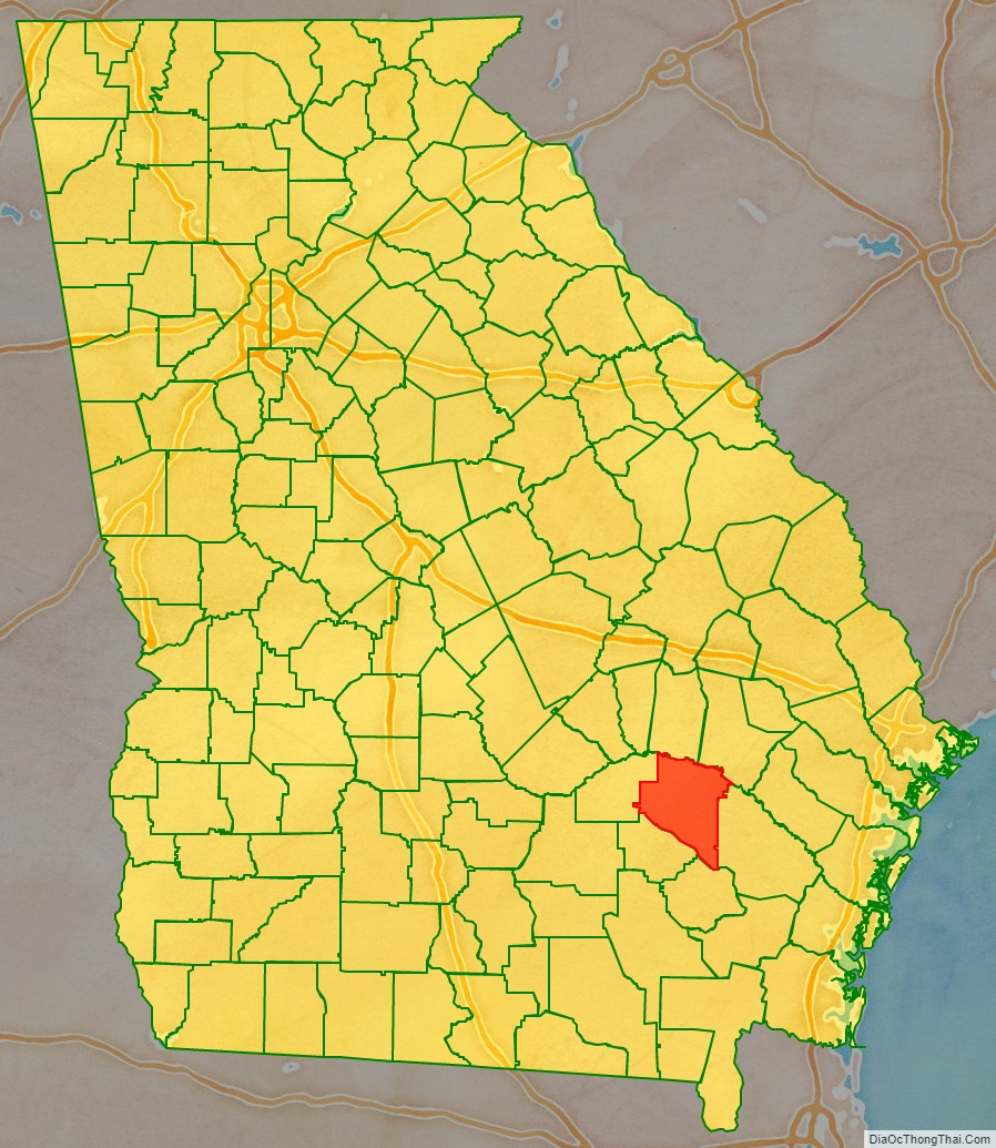
Appling County location map. Where is Appling County?
History
Appling County is named for Lieutenant Colonel Daniel Appling, a soldier in the War of 1812. Appling County, the 42nd county created in Georgia, was established by an act of the Georgia General Assembly on December 15, 1818. The original county consisted of Creek lands ceded in the 1814 Treaty of Fort Jackson and the 1818 Treaty of the Creek Agency.
On December 15, 1824, Ware County was formed by the Georgia General Assembly from roughly the southern half of Appling land districts 4, 5, and 6, and all of land districts 7, 8, 9, 10, 11, 12, and 13. On December 24, 1825, Appling County land district 6 was added to Telfair County by an act of the Georgia General Assembly. This created an ambiguity of the border between Telfair County and Ware County that was later solved by additional legislation.
On December 8, 1828, Holmesville, Georgia was declared the county seat by the General Assembly. Previously, court was held at residence of William Carter Jr. In 1836, the General Assembly appointed a seven-member commission to find a location for a more centrally located county seat than Holmesville, but were not able to come to a conclusion. The need for a more central county seat would remain a point of contention in county politics for several decades.
On December 18, 1857, the part of Appling County that was south of Lightsey’s Ford on Big Creek downstream to the Little Satilla River was taken from Appling County for the creation of Pierce County.
At the time of the 1850 United States Census, Appling County had a white population of 2,520, a slave population of 404, and 25 free people of color. By the 1860 United States Census, the county had a white population of 3,442, a slave population of 740, and 3 free people of color.
On August 27, 1872, eastern sections of Appling land districts 3 and 4 were added to Wayne County. This area included Wayne County’s current county seat Jesup, Georgia, which became the new county seat of Wayne County in 1873. Also in August 1872, the General Assembly called for an election in Appling County to vote on the removal of the county seat to a point along the Macon and Brunswick Railroad. The residents voted for removal and the town of Baxley, Georgia was selected as the new county seat after the election. In February 1873, the General Assembly mistakenly passed a law giving county commissioners to sell the public lands in Holmesville so that the proceeds can go to the construction of a new courthouse in Holmesville. It amended the law a year later for the new courthouse location to read Baxley, as had originally been intended.
On August 18, 1905, Jeff Davis County was created from western portions of Appling County and eastern portions Coffee County. On July 27, 1914, Bacon County was created from parts of Appling County, Pierce County, and Ware County. The remaining section of Appling County that had been located south of Little Satilla River became part of Bacon County.
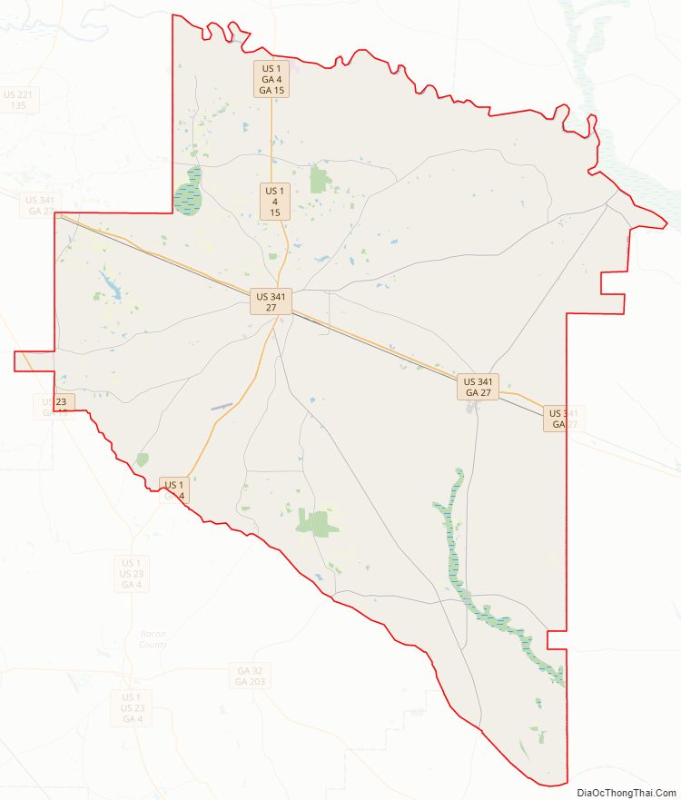
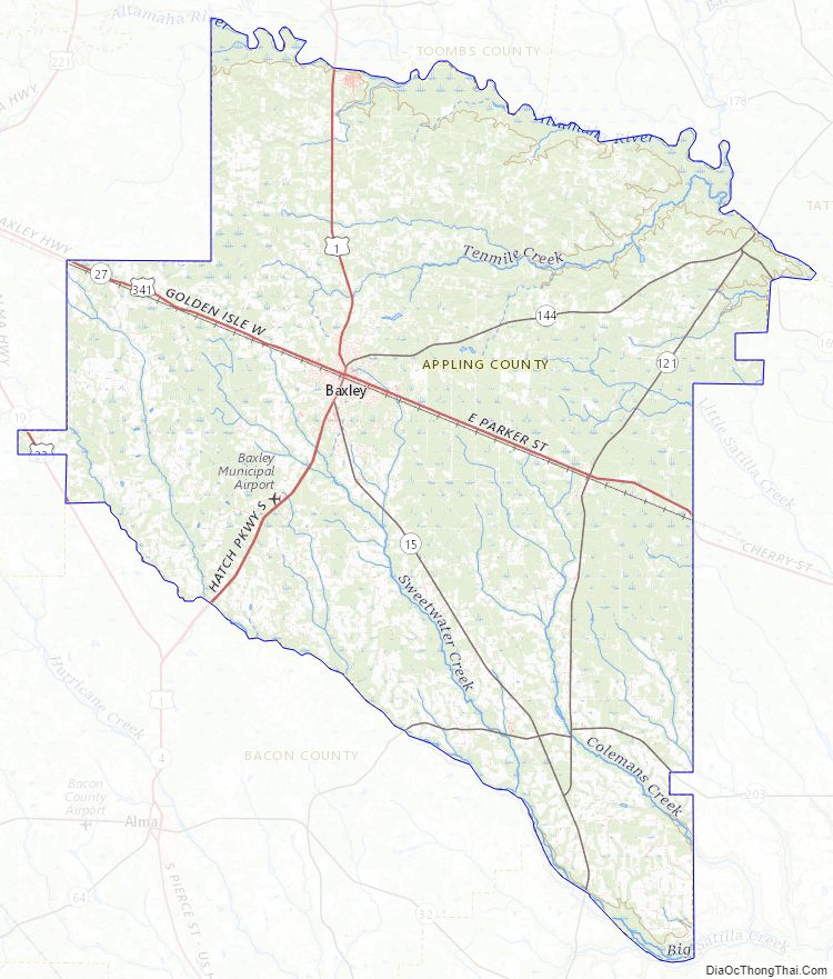
Appling County Road Map
Geography
According to the U.S. Census Bureau, the county has a total area of 512 square miles (1,330 km), of which 507 square miles (1,310 km) is land and 5.2 square miles (13 km) (1.0%) is water.
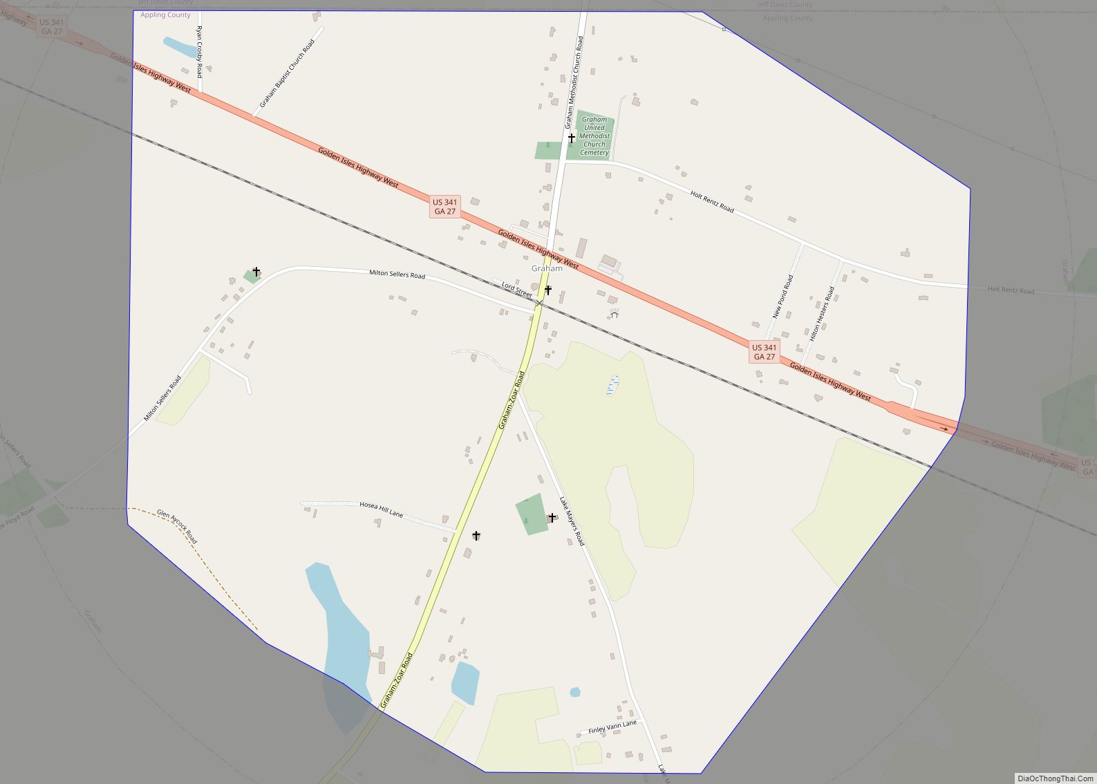
The southern two-thirds of Appling County, south of a line from Graham to Baxley, then running due east from Baxley, is located in the Little Satilla River sub-basin of the St. Marys River-Satilla River basin. The northern third of the county is located in the Altamaha River sub-basin of the basin by the same name.
Major highways
- U.S. Route 1
- U.S. Route 23
- U.S. Route 341
- State Route 4
- State Route 15
- State Route 19
- State Route 27
- State Route 121
- State Route 144
- State Route 169
- State Route 203
Adjacent counties
- Toombs County – north
- Tattnall County – northeast
- Wayne County – southeast
- Pierce County – south
- Jeff Davis County – west
- Bacon County – west
Appling County Topographic Map
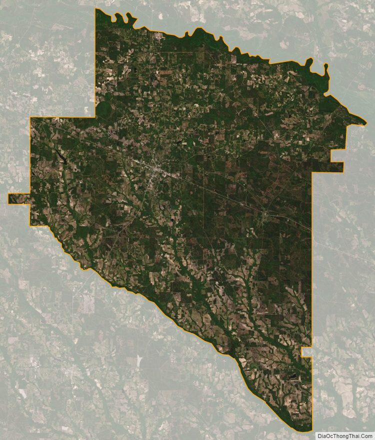
Appling County Satellite Map
Appling County Outline Map