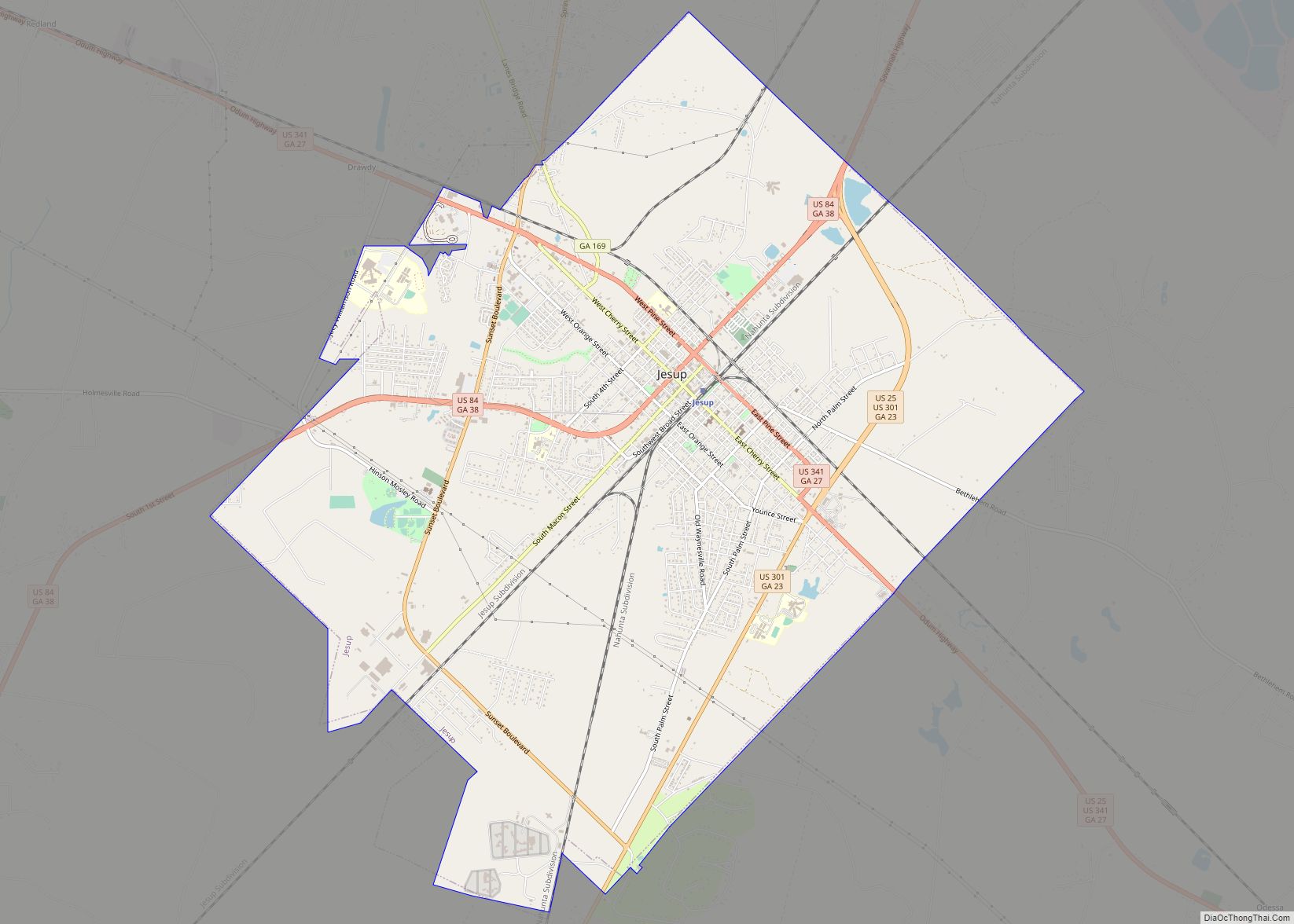
Jesup is a city in Wayne County, Georgia, United States. The population was 9,809 at the 2020 census. The city is the county seat of Wayne County.
| Name: | Jesup city |
|---|---|
| LSAD Code: | 25 |
| LSAD Description: | city (suffix) |
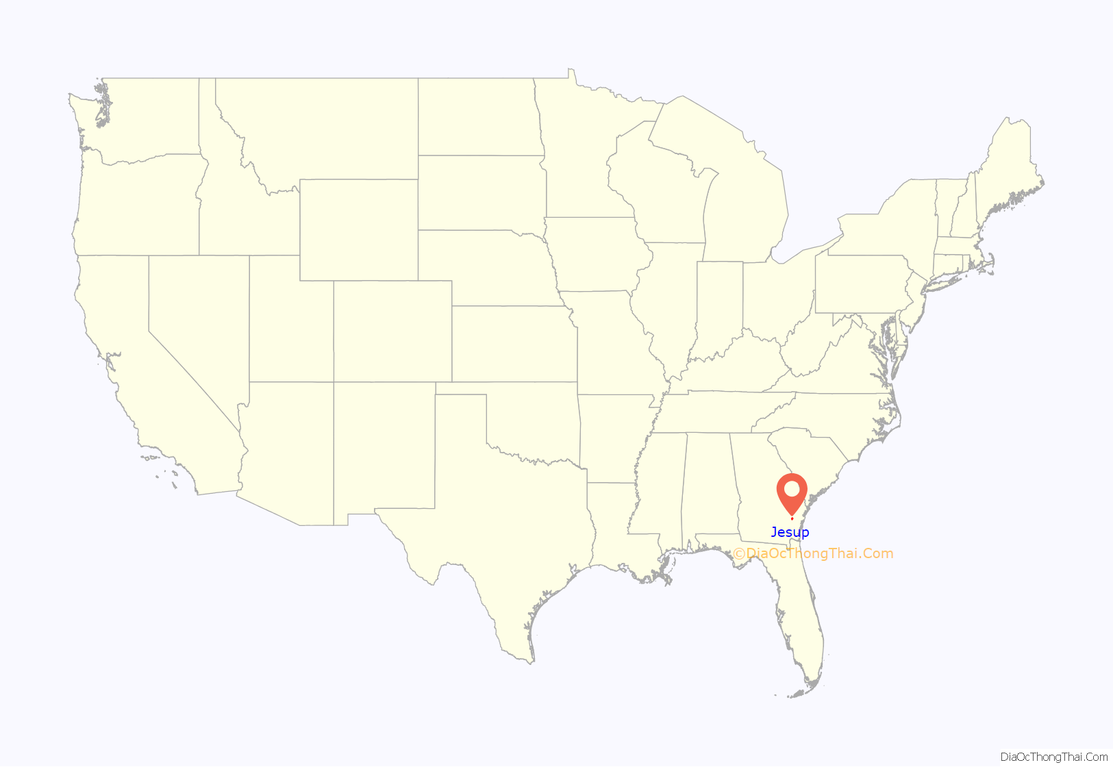
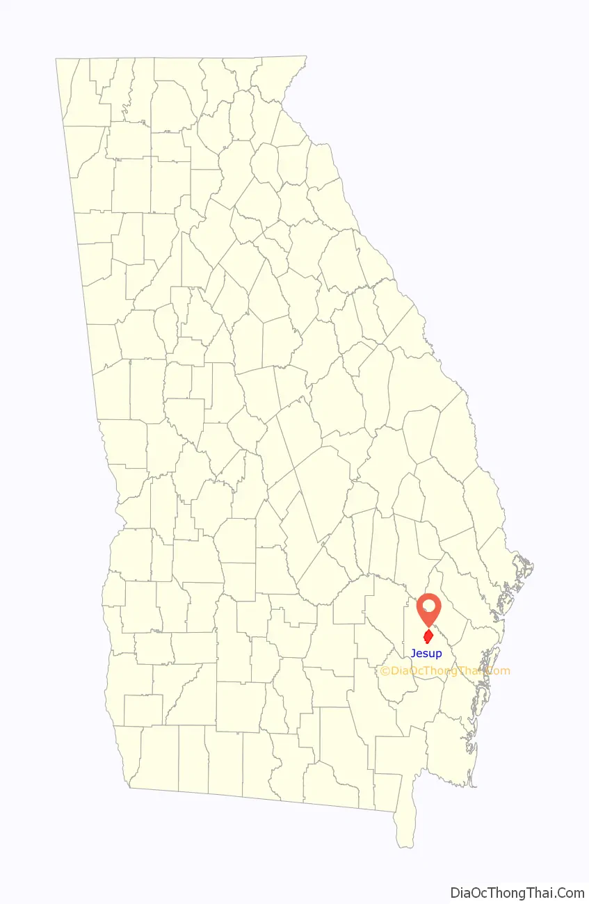
| State: | Georgia |
| County: | Wayne County |
| Elevation: | 95 ft (29 m) |
| Total Area: | 16.76 sq mi (43.41 km²) |
| Land Area: | 16.55 sq mi (42.85 km²) |
| Water Area: | 0.21 sq mi (0.56 km²) |
| Total Population: | 9,809 |
| Population Density: | 592.83/sq mi (228.90/km²) |
| ZIP code: | 31545-31546, 31599 |
| Area code: | 912 |
| FIPS code: | 1342268 |
| GNISfeature ID: | 0316104 |
| Website: | http://www.jesupga.gov/ |
Online Interactive Map
Click on ![]() to view map in "full screen" mode.
to view map in "full screen" mode.
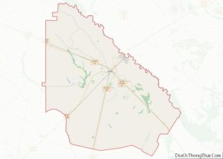
Jesup location map. Where is Jesup city?
History
By February 1869, Willis Clary had begun building a two-story hotel near the junction of Macon and Brunswick Railroad and the Atlantic and Gulf Railroad and four stores had sprung up in the area. Clary became a driving force for the establishment of what would become Jesup and was its first mayor.
By September 1869, the town included five stores, a sawmill, and a railroad eating house in addition to Clary’s hotel. By December 1869 the community had become known as Jesup.
Jesup was named for Thomas Jesup, a general during the Second Seminole War.
The area was then part of Appling County, Georgia. On August 27, 1872, eastern sections of Appling land districts 3 and 4 were added to Wayne County. In 1873, the seat of Wayne County was transferred to Jesup from Waynesville.
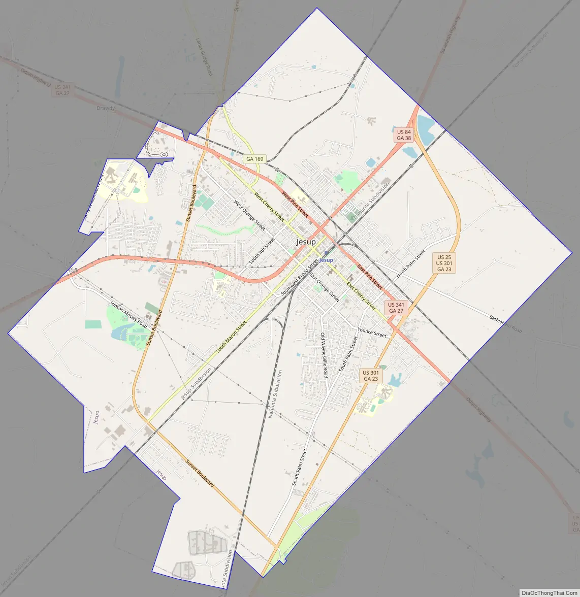
Jesup Road Map
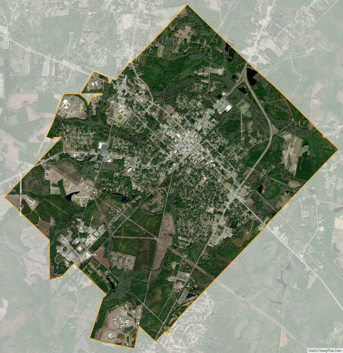
Jesup city Satellite Map
Geography
Jesup is located at 31°36′7″N 81°53′6″W / 31.60194°N 81.88500°W / 31.60194; -81.88500 (31.601866, -81.885070).
According to the United States Census Bureau, the city has a total area of 16.6 square miles (43 km), of which, 16.5 square miles (43 km) of it is land and 0.1 square miles (0.26 km) of it (0.30%) is water. It is 35 miles west of Hinesville and 12 miles southwest of Ludowici, Georgia.
See also
Map of Georgia State and its subdivision:- Appling
- Atkinson
- Bacon
- Baker
- Baldwin
- Banks
- Barrow
- Bartow
- Ben Hill
- Berrien
- Bibb
- Bleckley
- Brantley
- Brooks
- Bryan
- Bulloch
- Burke
- Butts
- Calhoun
- Camden
- Candler
- Carroll
- Catoosa
- Charlton
- Chatham
- Chattahoochee
- Chattooga
- Cherokee
- Clarke
- Clay
- Clayton
- Clinch
- Cobb
- Coffee
- Colquitt
- Columbia
- Cook
- Coweta
- Crawford
- Crisp
- Dade
- Dawson
- Decatur
- DeKalb
- Dodge
- Dooly
- Dougherty
- Douglas
- Early
- Echols
- Effingham
- Elbert
- Emanuel
- Evans
- Fannin
- Fayette
- Floyd
- Forsyth
- Franklin
- Fulton
- Gilmer
- Glascock
- Glynn
- Gordon
- Grady
- Greene
- Gwinnett
- Habersham
- Hall
- Hancock
- Haralson
- Harris
- Hart
- Heard
- Henry
- Houston
- Irwin
- Jackson
- Jasper
- Jeff Davis
- Jefferson
- Jenkins
- Johnson
- Jones
- Lamar
- Lanier
- Laurens
- Lee
- Liberty
- Lincoln
- Long
- Lowndes
- Lumpkin
- Macon
- Madison
- Marion
- McDuffie
- McIntosh
- Meriwether
- Miller
- Mitchell
- Monroe
- Montgomery
- Morgan
- Murray
- Muscogee
- Newton
- Oconee
- Oglethorpe
- Paulding
- Peach
- Pickens
- Pierce
- Pike
- Polk
- Pulaski
- Putnam
- Quitman
- Rabun
- Randolph
- Richmond
- Rockdale
- Schley
- Screven
- Seminole
- Spalding
- Stephens
- Stewart
- Sumter
- Talbot
- Taliaferro
- Tattnall
- Taylor
- Telfair
- Terrell
- Thomas
- Tift
- Toombs
- Towns
- Treutlen
- Troup
- Turner
- Twiggs
- Union
- Upson
- Walker
- Walton
- Ware
- Warren
- Washington
- Wayne
- Webster
- Wheeler
- White
- Whitfield
- Wilcox
- Wilkes
- Wilkinson
- Worth
- Alabama
- Alaska
- Arizona
- Arkansas
- California
- Colorado
- Connecticut
- Delaware
- District of Columbia
- Florida
- Georgia
- Hawaii
- Idaho
- Illinois
- Indiana
- Iowa
- Kansas
- Kentucky
- Louisiana
- Maine
- Maryland
- Massachusetts
- Michigan
- Minnesota
- Mississippi
- Missouri
- Montana
- Nebraska
- Nevada
- New Hampshire
- New Jersey
- New Mexico
- New York
- North Carolina
- North Dakota
- Ohio
- Oklahoma
- Oregon
- Pennsylvania
- Rhode Island
- South Carolina
- South Dakota
- Tennessee
- Texas
- Utah
- Vermont
- Virginia
- Washington
- West Virginia
- Wisconsin
- Wyoming