Autauga County is a county located in the central portion of the U.S. state of Alabama. As of the 2020 census the population was 58,805. Its county seat is Prattville.
Autauga County is part of the Montgomery metropolitan area.
| Name: | Autauga County |
|---|---|
| FIPS code: | 01-001 |
| State: | Alabama |
| Founded: | November 21, 1818 |
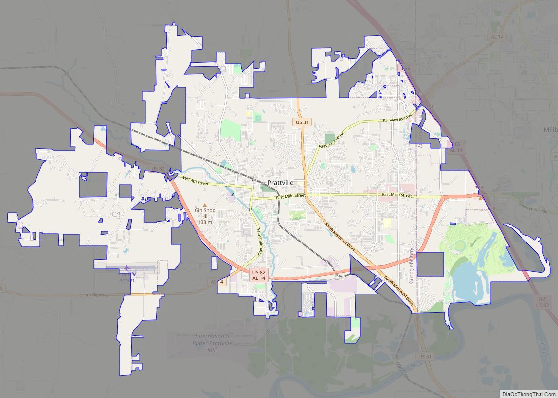
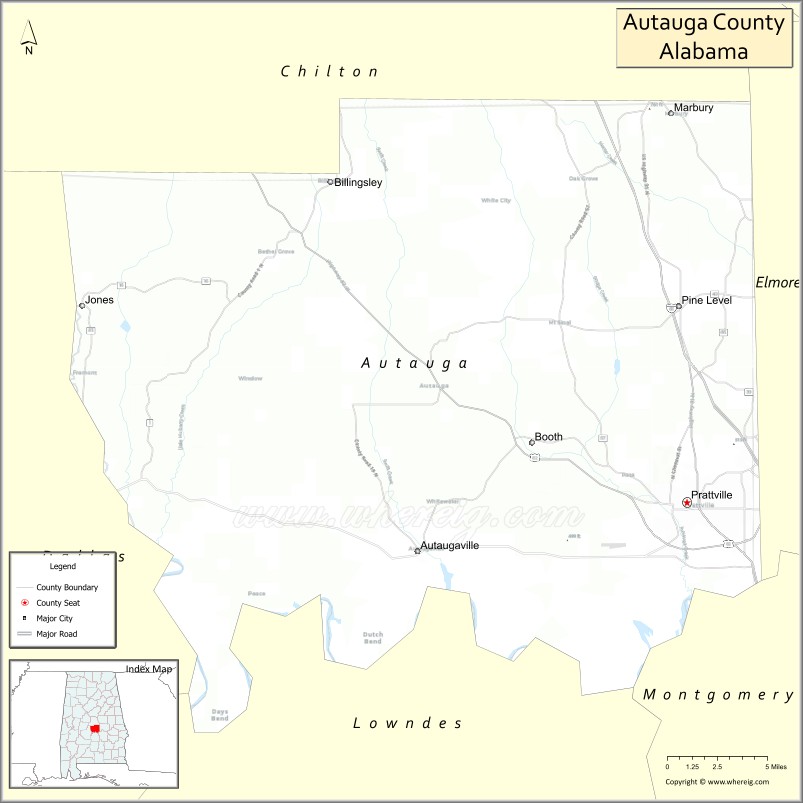
| Seat: | Prattville |
| Largest city: | Prattville |
| Total Area: | 604 sq mi (1,560 km²) |
| Land Area: | 594 sq mi (1,540 km²) |
| Total Population: | 58,805 |
| Population Density: | 97/sq mi (38/km²) |
| Time zone: | UTC−6 (Central) |
| Summer Time Zone (DST): | UTC−5 (CDT) |
| Website: | www.autaugaco.org |
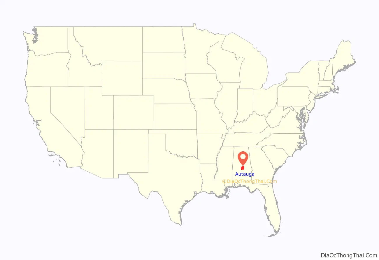
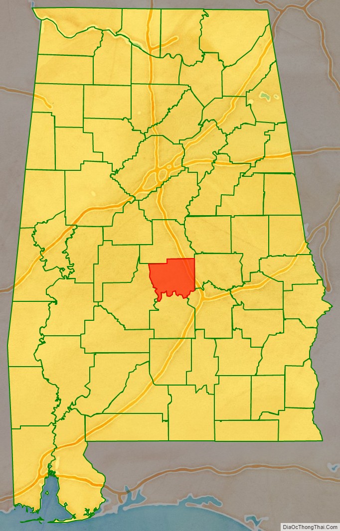
Autauga County location map. Where is Autauga County?
History
Autauga County was established on November 21, 1818, by an act of the Alabama Territorial Legislature (one year before Alabama was admitted as a State). As established, the county included present-day Autauga County, as well as Elmore County and Chilton County. At the time, Autauga (aka, Tawasa) Indians lived here. They were concentrated in a village named Atagi (meaning “pure water”) situated on the banks of a creek by the same name (called “Pearl Water Creek” by settlers); it is a tributary of the Alabama River.
The Autauga were a band of the Alibamu tribe, and named after their geographic location. The Alibamu eventually became absorbed within the Creek Confederacy. During Andrew Jackson’s invasion of the area during the Creek War, as part of the War of 1812, the Autaga sent many warriors to resist. This county was part of the territory ceded in 1814 by the Creek Confederacy in the Treaty of Fort Jackson.
The territorial legislature designated the first county seat was designated at Jackson’s Mill, but the court met there briefly, choosing to select a permanent seat at Washington. The new county seat was built on the former site of Atagi village in the southeast corner of the county. With population growth in the west, in 1830, the county seat was moved to a more central location at Kingston. Losing business and residents to the new county seat, the town of Washington dwindled until it was completely deserted by the late 1830s.
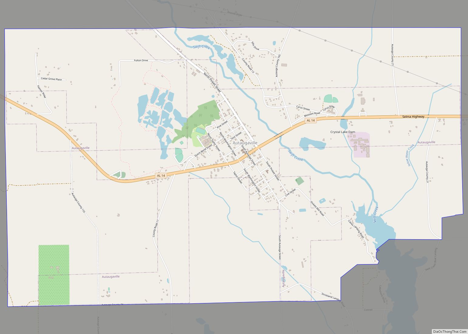
Daniel Pratt arrived in Autauga County in 1833 and founded the new town of Prattville, north of Atagi on the fall line of Autauga Creek. His cotton gin factory quickly became the largest manufacturer of gins in the world; it was the first major industry in Alabama.
Pratt financially backed the recruitment at his factory of men for the Prattville Dragoons, a fighting unit for the Confederacy. It was organized in anticipation of the Civil War. Other units formed in Autauga County included the Autauga Rifles (Autaugaville), The John Steele Guards (western Autauga Co.) and the Varina Rifles (northern Autauga Co.). None of the fighting of the Civil War reached Autauga County. Pratt was able to secure payment of debts from Northern accounts soon after the war, lessening the disabling effects of the Reconstruction period in the county.
Immediately after emancipation in early 1863, Charles Atwood, a freedman who had formerly been enslaved by Daniel Pratt, bought a house in the center of Prattville. He became one of the founding investors in Pratt’s South and North Railroad. It was exceptional for an African American to become so economically successful and prominent, and to own land in an Alabama city in this period.
In 1866 and 1868, the legislature established Elmore and Chilton counties from Autauga County. The county seat was newly designated as Prattville, which was the population center of the redefined jurisdiction. A new courthouse was completed there in 1870 by local builder George L. Smith. In 1906, a new and larger courthouse was erected a block north; it was designed in a modified Richardsonian Romanesque style. The building was designed by Bruce Architectural Co. of Birmingham and built by Dobson & Bynum of Montgomery.
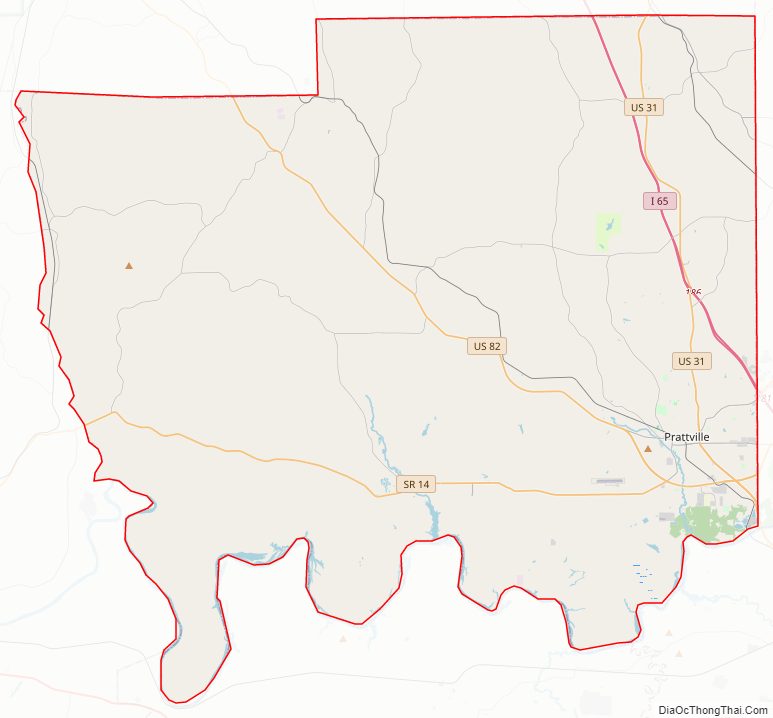
Autauga County Road Map
Geography
According to the United States Census Bureau, the county has a total area of 604 square miles (1,560 km), of which 594 square miles (1,540 km) is land and 10 square miles (26 km) (1.6%) is water. The county is mostly located in the Gulf Coastal Plain region, with a few rolling hills and forests due to its close proximity to the fall line of the eastern United States.
Climate
The county has a prevailing humid subtropical climate dominated by its location in the Southern Plains ecological sub-region of the United States.
Major highways
- Interstate 65
- U.S. Highway 31
- U.S. Highway 82
- State Route 14
- State Route 111
- State Route 143
Adjacent counties
- Chilton County – north
- Elmore County – east
- Montgomery County – southeast
- Lowndes County – south
- Dallas County – west
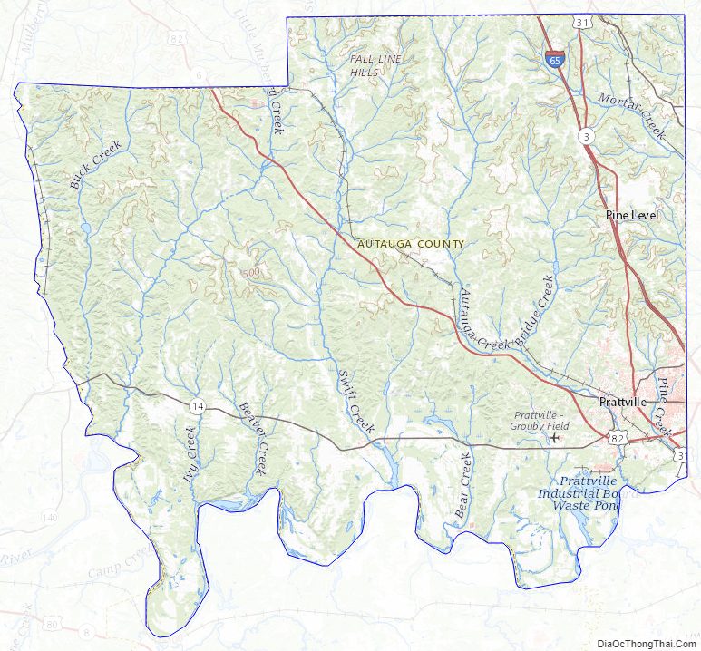
Autauga County Topographic Map
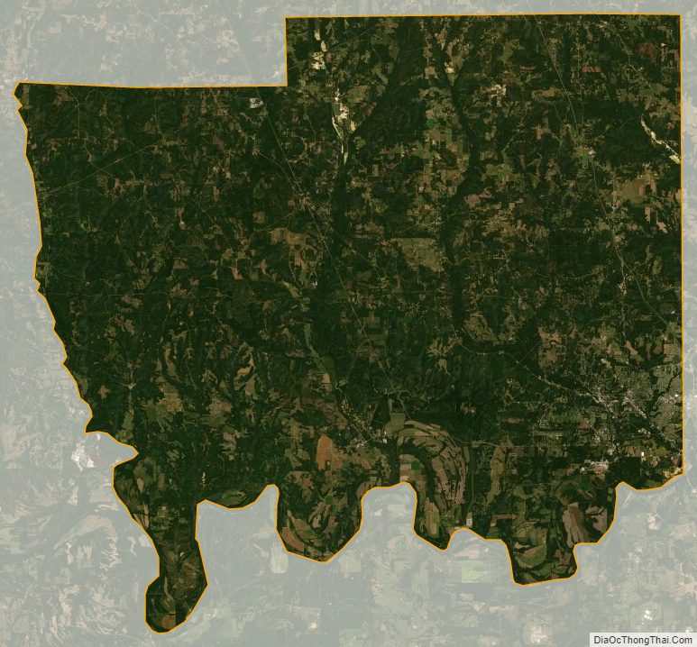
Autauga County Satellite Map
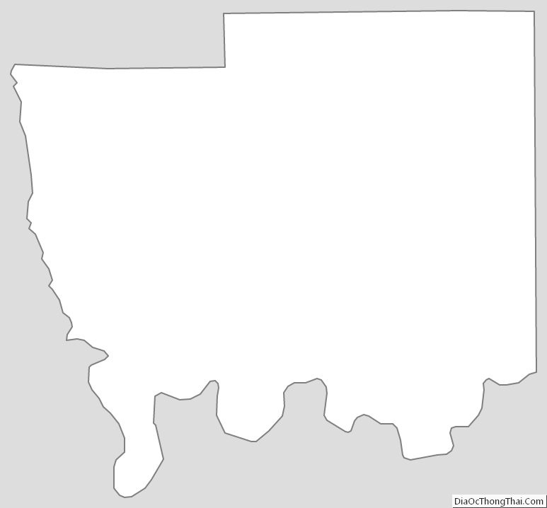
Autauga County Outline Map