Millbrook is a city in Autauga and Elmore counties in the U.S. state of Alabama. The population was 16,564 at the 2020 census, up from 14,640 in 2010. It is part of the Montgomery Metropolitan Statistical Area.
| Name: | Millbrook city |
|---|---|
| LSAD Code: | 25 |
| LSAD Description: | city (suffix) |
| State: | Alabama |
| County: | Autauga County, Elmore County |
| Elevation: | 190 ft (58 m) |
| Total Area: | 14.51 sq mi (37.58 km²) |
| Land Area: | 14.21 sq mi (36.80 km²) |
| Water Area: | 0.30 sq mi (0.78 km²) |
| Total Population: | 16,564 |
| Population Density: | 1,165.74/sq mi (450.11/km²) |
| ZIP code: | 36054 |
| Area code: | 334 |
| FIPS code: | 0148712 |
| GNISfeature ID: | 0122814 |
| Website: | http://www.cityofmillbrook.org/ |
Online Interactive Map
Click on ![]() to view map in "full screen" mode.
to view map in "full screen" mode.
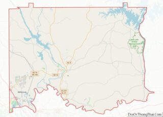
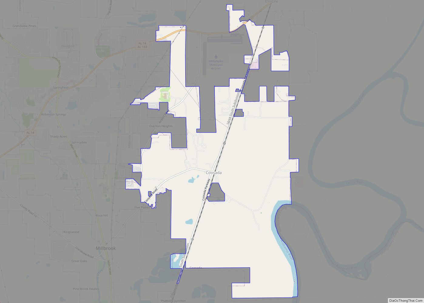
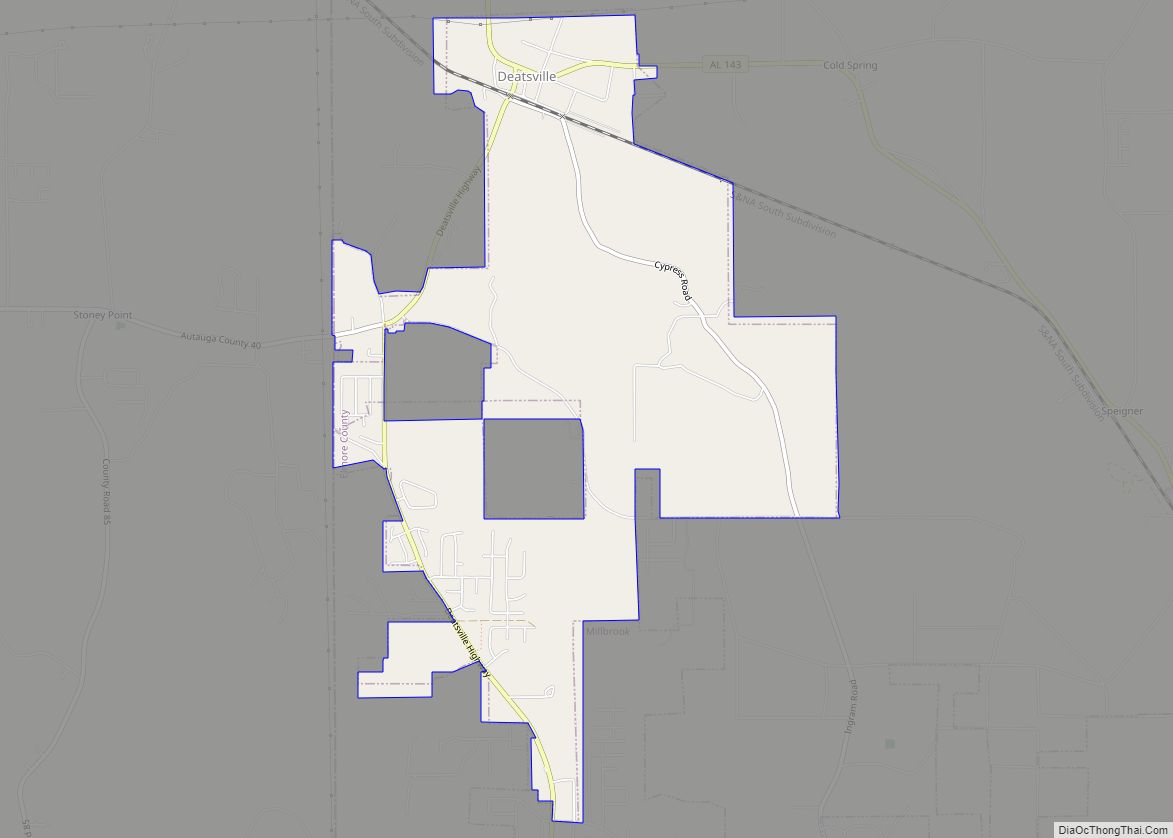
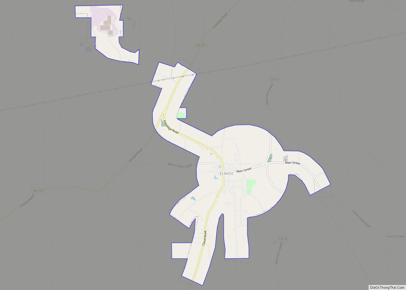
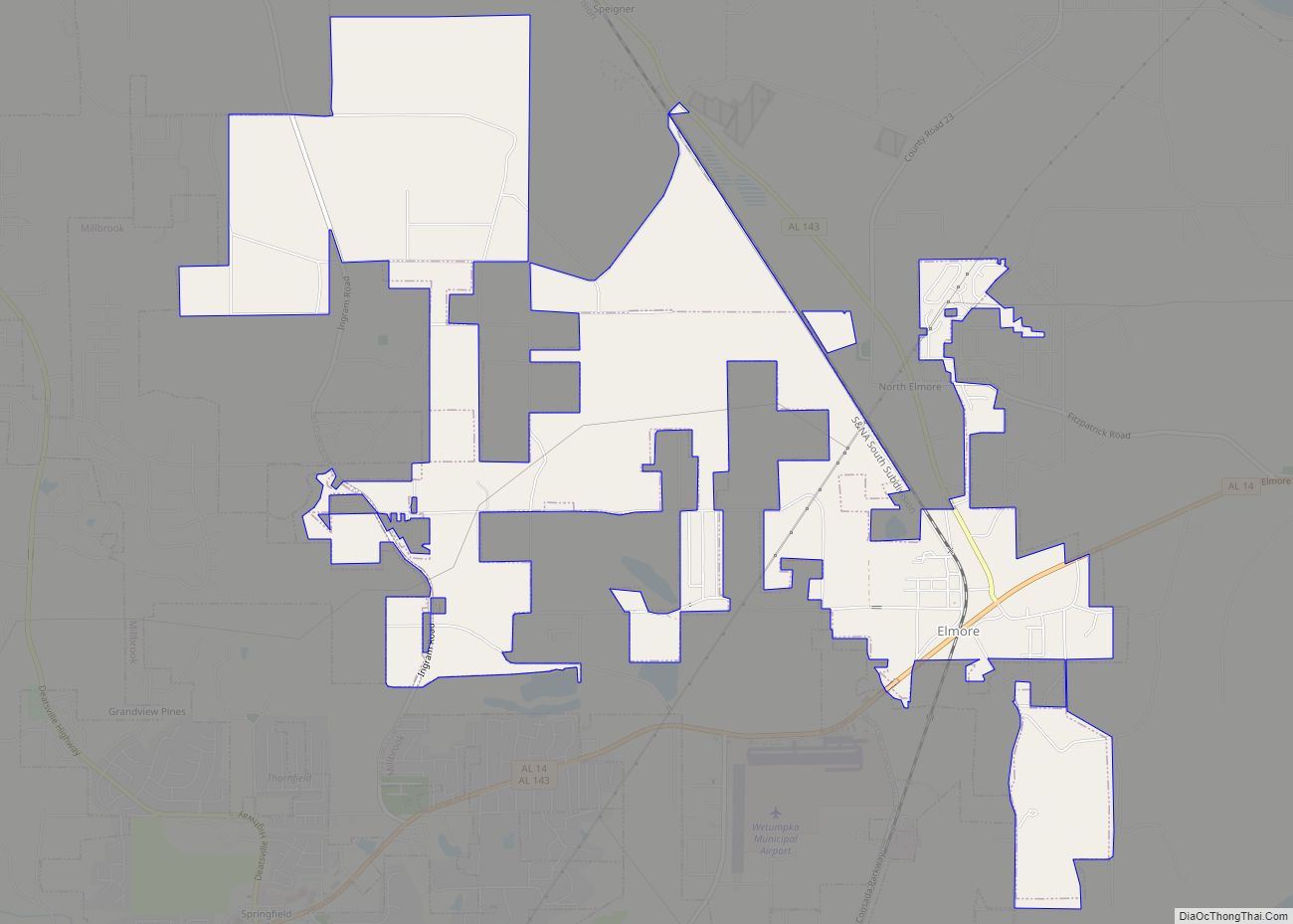
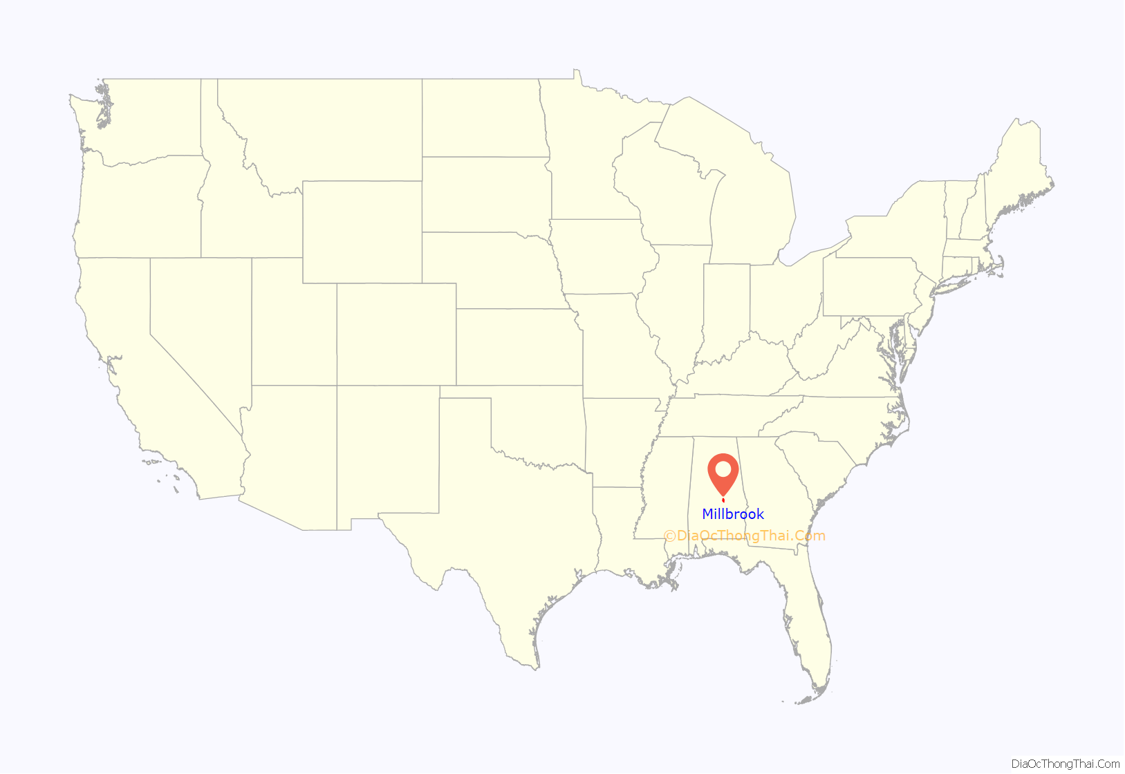
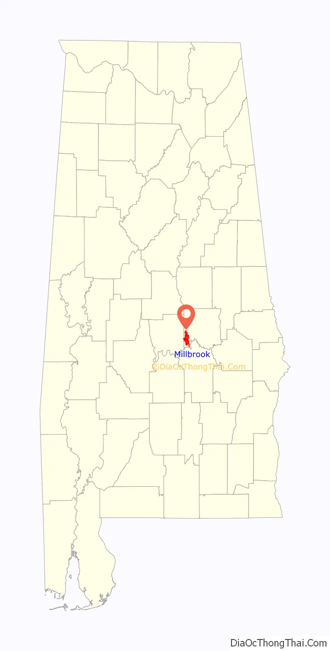
Millbrook location map. Where is Millbrook city?
History
Millbrook includes the former village of Robinson Springs within its boundaries. Numerous eras delineate Millbrook’s past.
The area’s first permanent home “Ellerslie” was completed in 1818 by Georgia Congressman, and Revolutionary War Veteran Bolling Hall. The area’s second permanent home “Thornfield” was started the following year, and completed in 1820 by pioneer Archibald McKeithen. Both homes still stand, and are private residences.
After its initial settlement, Robinson Springs was known as an early summer resort for wealthy families of Montgomery, and the vicinity. The Robinson Springs United Methodist Church was formed in 1828. The settlers quickly grew out of the log structure, and decided to build a permanent structure. The present church was completed in 1848. The parsonage was sold soon after completion (due to the lack of a steady minister) to noted Alabama historian Albert J. Pickett. It still stands two doors down from the church. In 1852, Robinson Springs played host to Alabama’s first state fair.
Shadrack Mims, Autauga’s early historian, describes Robinson Springs (circa 1850) as “a spot selected by Todd Robinson as a retreat from the river; and much good sense did he show in such selection – for, if the whole South was searched over, a more healthy spot, in my opinion, could not be found. It is altogether rural in its appearance, the forest growth being untouched, only for garden spots. As to water, it cannot be excelled any where for coolness, clearness, and pleasantness, and the abundance of it. The building situations are beautiful. Upon the whole, it is just the place for a summer retreat; just the place for a school – healthy and high, and free from the temptations so common in villages and cities.”
1861 saw many of the area’s youth go off to fight in the Civil War. In June 1862, Private Bolling Hall III, on leave from fighting in Virginia, mustered a company of men under a tree at the current site of the confederate monument. They elected him captain, and the company a part of Hilliards Legion. Remnants were later morphed into the 59th Alabama Infantry, with Colonel Bolling Hall III commanding. No remarkable events took place here during the war.
During the post-World War I and pre-World War II period, the communities of Millbrook, Coosada, and Robinson Springs, later referred to as the Tri-Community, began to evolve into populated growing communities, complete with schools, churches, and rail transportation.
Contributing to the population growth during the 1920s and 1930s were unfortunate outbreaks of disease in the more populated City of Montgomery. During this period, Millbrook became a place to retreat during the long, hot summers. Seasonal homes and cabins in Millbrook, Coosada, and Robinson Springs offered families fresh country air and seclusion. Soon, the seasonal population began to stay year round. Churches were quickly established and schools took form. The Bolling Hall School, the Lumley School, and later Robinson Springs School, served the increasing population. Some chose to continue their education in nearby Montgomery and traveled daily by train from Millbrook. Additionally, railroad transportation provided the growing population access to jobs in nearby cities. The railroad spur line of the early 1900s followed the present day route of Grandview Road.
As in the 1930s, much of today’s progress is linked to transportation. With the introduction of Interstate 65 in the mid 1970s, Millbrook’s growth led to formal incorporation as a city in 1977. Once again, those seeking a more relaxing lifestyle discovered the interstate exits immediately north of the state capital and the Millbrook population grew even more.
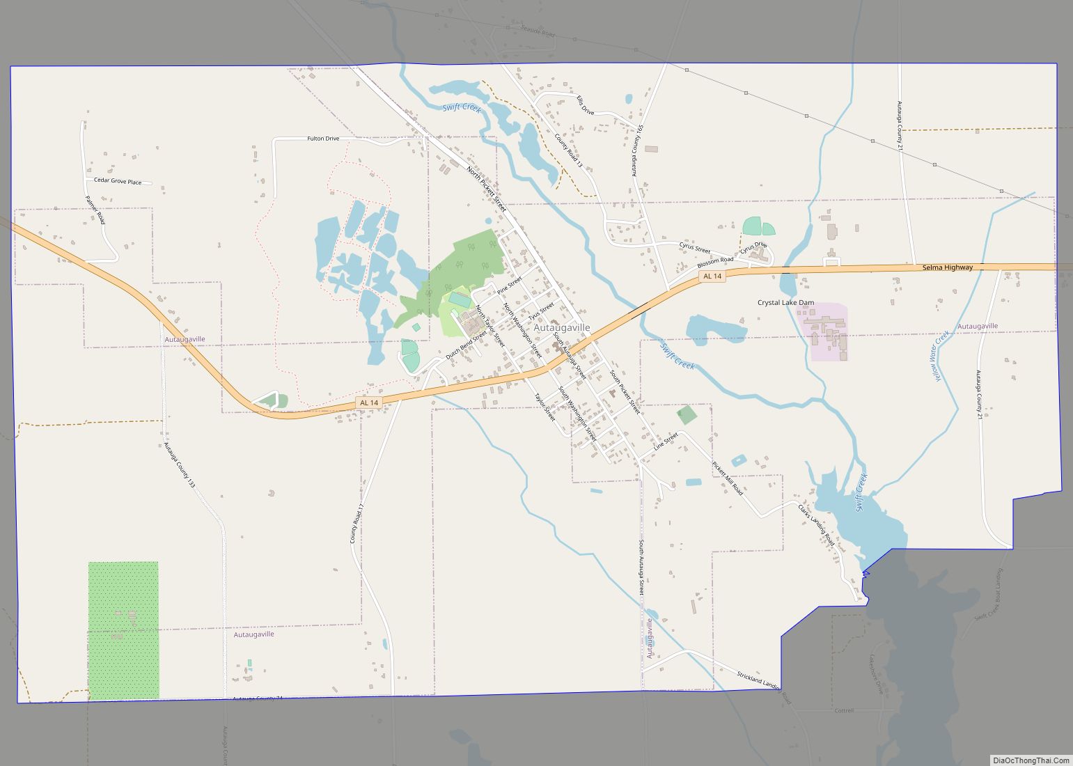
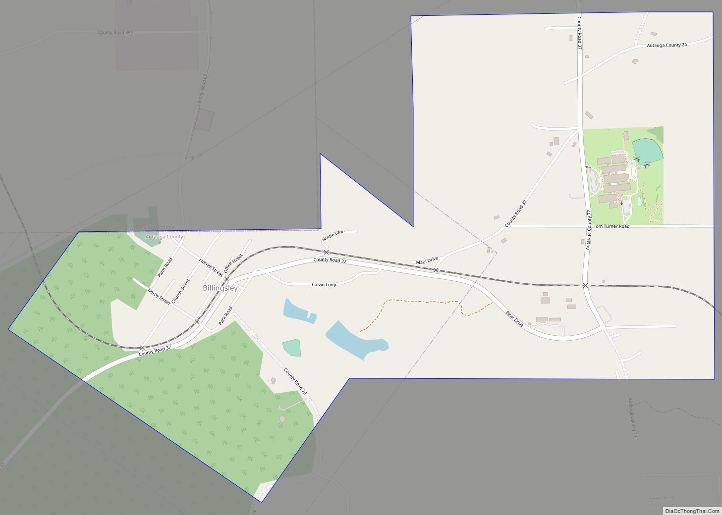
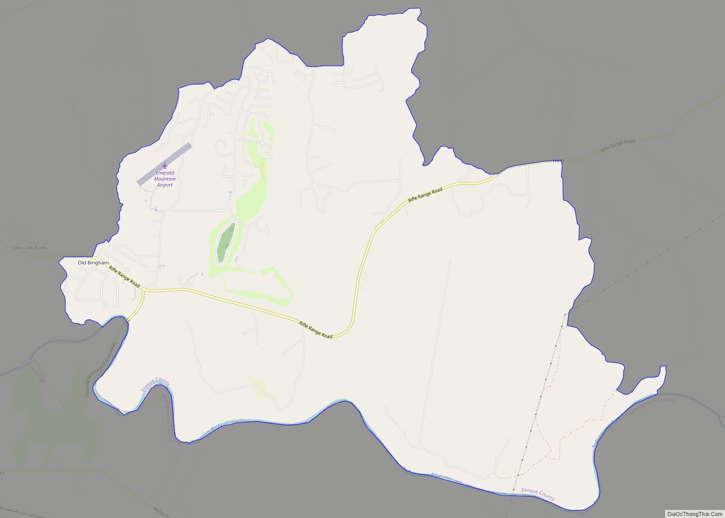
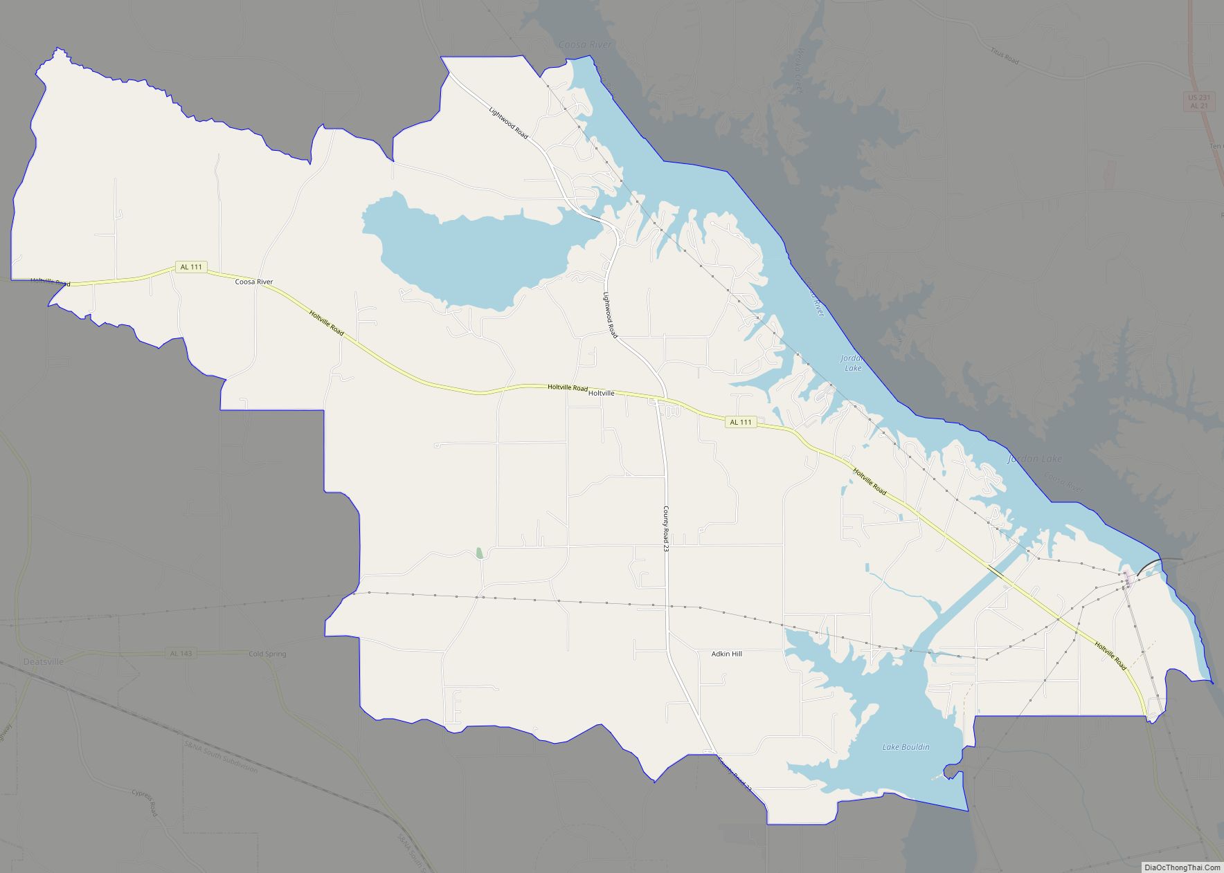
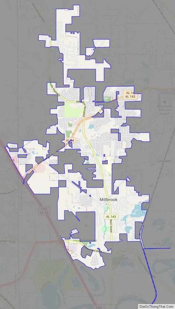
Millbrook Road Map
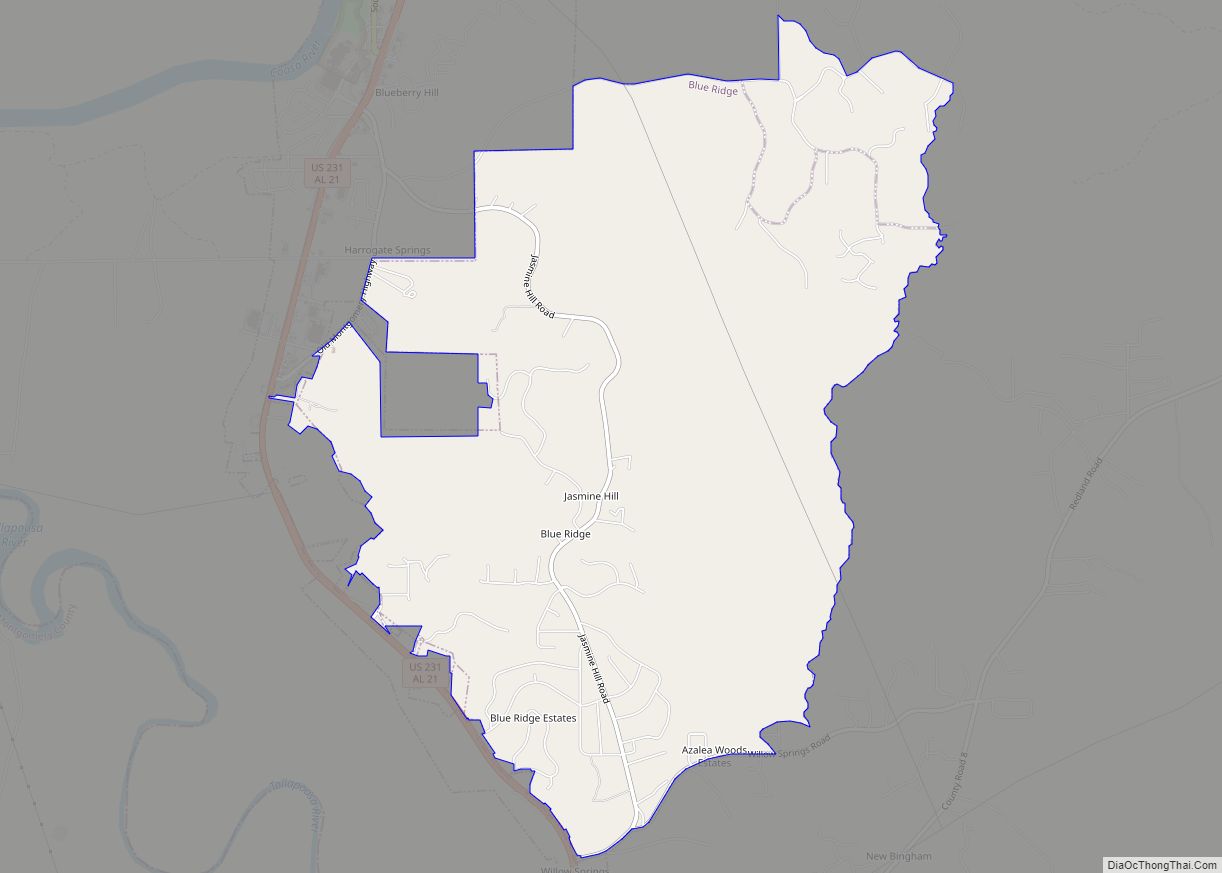
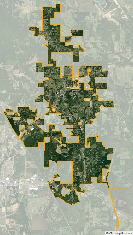
Millbrook city Satellite Map
Geography
Millbrook is located at 32°30′07″N 86°22′28″W / 32.502054°N 86.374456°W / 32.502054; -86.374456 (32.502054, -86.374456).
According to the United States Census Bureau, the city has a total area of 13.1 square miles (34 km), of which 12.8 square miles (33 km) is land and 0.3 square miles (0.78 km) (1.75%) is water.
Climate
According to the Köppen climate classification, Millbrook has a humid subtropical climate (abbreviated Cfa).
See also
Map of Alabama State and its subdivision:- Autauga
- Baldwin
- Barbour
- Bibb
- Blount
- Bullock
- Butler
- Calhoun
- Chambers
- Cherokee
- Chilton
- Choctaw
- Clarke
- Clay
- Cleburne
- Coffee
- Colbert
- Conecuh
- Coosa
- Covington
- Crenshaw
- Cullman
- Dale
- Dallas
- De Kalb
- Elmore
- Escambia
- Etowah
- Fayette
- Franklin
- Geneva
- Greene
- Hale
- Henry
- Houston
- Jackson
- Jefferson
- Lamar
- Lauderdale
- Lawrence
- Lee
- Limestone
- Lowndes
- Macon
- Madison
- Marengo
- Marion
- Marshall
- Mobile
- Monroe
- Montgomery
- Morgan
- Perry
- Pickens
- Pike
- Randolph
- Russell
- Saint Clair
- Shelby
- Sumter
- Talladega
- Tallapoosa
- Tuscaloosa
- Walker
- Washington
- Wilcox
- Winston
- Alabama
- Alaska
- Arizona
- Arkansas
- California
- Colorado
- Connecticut
- Delaware
- District of Columbia
- Florida
- Georgia
- Hawaii
- Idaho
- Illinois
- Indiana
- Iowa
- Kansas
- Kentucky
- Louisiana
- Maine
- Maryland
- Massachusetts
- Michigan
- Minnesota
- Mississippi
- Missouri
- Montana
- Nebraska
- Nevada
- New Hampshire
- New Jersey
- New Mexico
- New York
- North Carolina
- North Dakota
- Ohio
- Oklahoma
- Oregon
- Pennsylvania
- Rhode Island
- South Carolina
- South Dakota
- Tennessee
- Texas
- Utah
- Vermont
- Virginia
- Washington
- West Virginia
- Wisconsin
- Wyoming