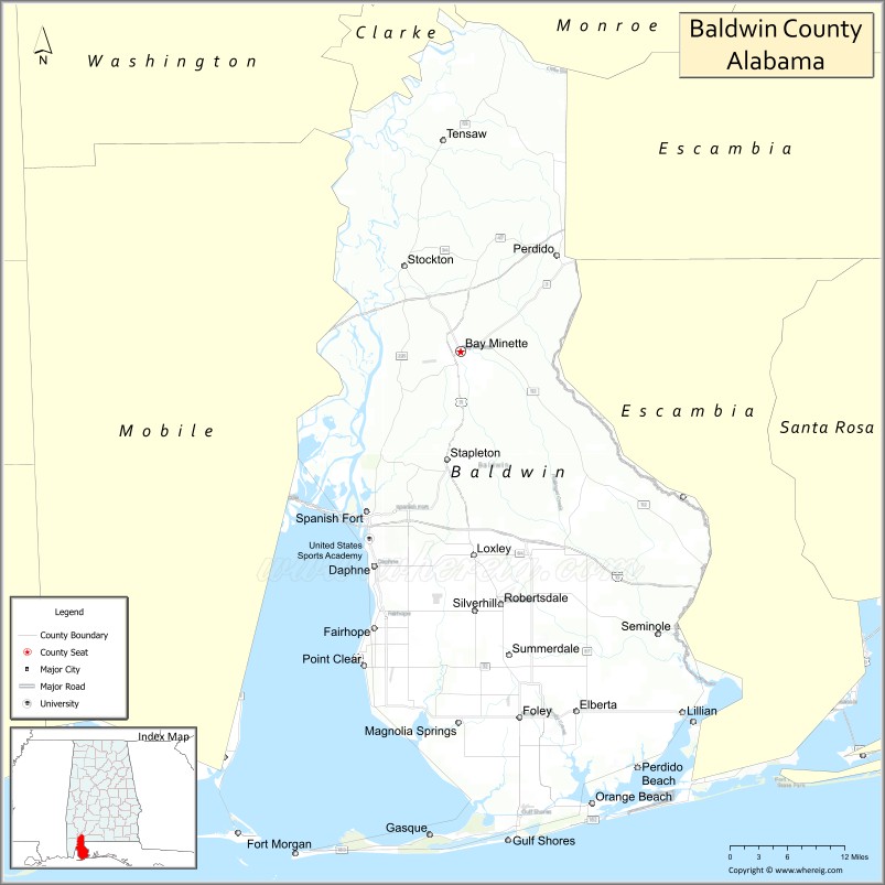
Baldwin County is a county located in the southwestern part of the U.S. state of Alabama, on the Gulf coast. It is one of only two counties in Alabama that border the Gulf of Mexico, along with Mobile County. As of the 2020 census, the population was 231,767. The county seat is Bay Minette. The county is named after senator Abraham Baldwin, though he never lived in what is now Alabama.
Baldwin was Alabama’s fastest-growing county from 2010 to 2020, with 4 of the top 10 fastest-growing cities in the state in recent years.
The U.S. federal government designates Baldwin County as the Daphne–Fairhope–Foley, AL Metropolitan Statistical Area.
It is the largest county in Alabama by area and is located on the eastern side of Mobile Bay. Part of its western border with Mobile County is formed by the Spanish River, a brackish distributary river.
| Name: | Baldwin County |
|---|---|
| FIPS code: | 01-003 |
| State: | Alabama |
| Founded: | December 21, 1809 |
| Named for: | Abraham Baldwin |
| Seat: | Bay Minette |
| Largest city: | Daphne |
| Total Area: | 2,027 sq mi (5,250 km²) |
| Land Area: | 1,590 sq mi (4,100 km²) |
| Total Population: | 231,767 |
| Population Density: | 110/sq mi (44/km²) |
| Time zone: | UTC−6 (Central) |
| Summer Time Zone (DST): | UTC−5 (CDT) |
| Website: | baldwincountyal.gov |
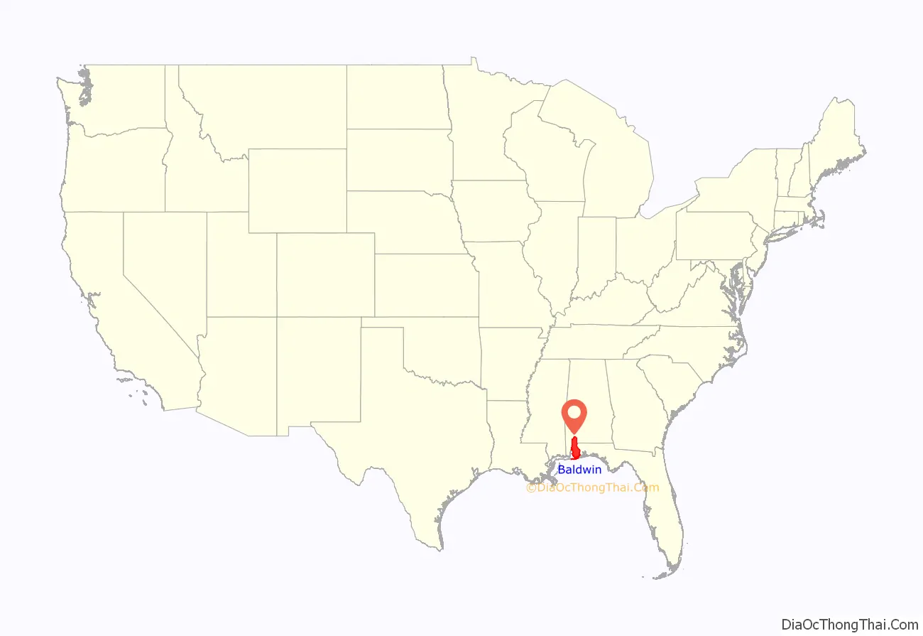
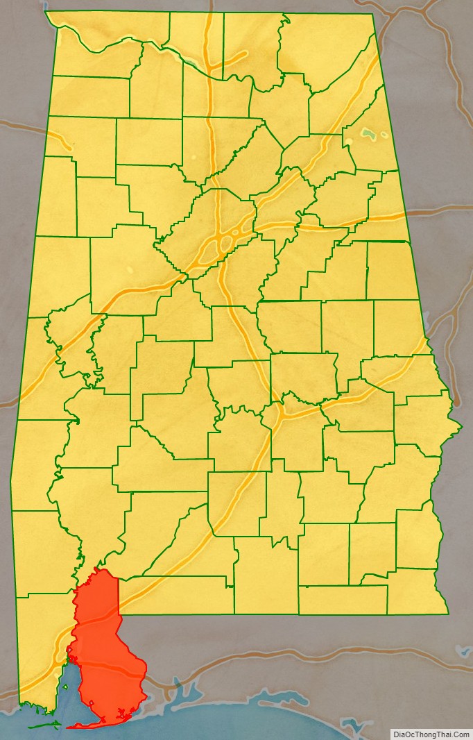
Baldwin County location map. Where is Baldwin County?
History
Baldwin County was established on December 21, 1809, ten years before Alabama became a state. Previously, the county had been a part of the Mississippi Territory until 1817, when the area was included in the separate Alabama Territory. Statehood was gained by Alabama in 1819.
There have been numerous border changes to the county as population grew and other counties were formed. Numerous armies have invaded during the Revolutionary War, War of 1812, and Civil War.
In the first days of Baldwin County, the town of McIntosh Bluff on the Tombigbee River was the county seat. (It is now included in Mobile County, west of Baldwin County.) The county seat was transferred to the town of Blakeley in 1820, and then to the city of Daphne in 1868. In 1900, by an act of the legislature of Alabama, the county seat was authorized for relocation to the city of Bay Minette; however, the city of Daphne resisted this relocation.
To achieve the relocation, the men of Bay Minette devised a scheme. They fabricated a murder to lure the Sheriff and his deputy out of the city of Daphne. While the law was chasing down the fictitious killer during the late hours, the group of Bay Minette men stealthily traveled the seventeen miles (27 km) to Daphne, stole the Baldwin County Courthouse records, and delivered them to the city of Bay Minette, where Baldwin County’s county seat remains. A New Deal mural, completed by WPA artists during the Great Depression, depicts these events. It hangs in the Bay Minette United States Post Office.
During the American Civil War, 32 men hailing from Baldwin County enlisted with a Union unit mustered in Pensacola, Florida called the 1st Florida Cavalry Regiment. In 1860, Baldwin County was the least populous of Alabama’s 52 counties. Half of the population were enslaved. There was also a large population of Muscogee (Creek) in the northern portion of the county.
Due to its proximity to the Gulf of Mexico, Baldwin County frequently endures tropical weather systems, including hurricanes. Since the late 20th century, the county has been declared a disaster area multiple times. This was due to heavy damages in September 1979 from Hurricane Frederic, July 1997 from Hurricane Danny, September 1998 from Hurricane Georges, September 2004 from Hurricane Ivan, and August 2005 from Hurricane Katrina.
2016 flag controversy
Baldwin County attracted national attention after the 2016 Orlando nightclub shooting as the only county in the United States to refuse to lower its flags to half-staff. Both President Obama and Alabama Governor Robert Bentley had ordered all flags to be lowered immediately following the attack, which was believed to have specifically targeted the LGBTQ community. Citing the U.S. Flag Code, Baldwin County Commissioner Tucker Dorsey stated that while his “heart certainly goes out to the victims and their families,” the incident “doesn’t meet the test of the reason for the flag to be lowered.”
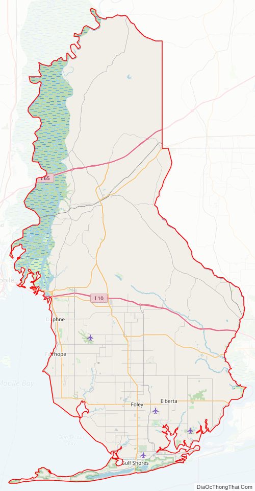
Baldwin County Road Map
Geography
According to the United States Census Bureau, the county has a total area of 2,027 square miles (5,250 km), of which 1,590 square miles (4,100 km) is land and 437 square miles (1,130 km) (21.6%) is water. It is the largest county by area in Alabama and the 12th-largest county east of the Mississippi River. It is larger than the US state of Rhode Island.
Adjacent counties
- Monroe County – northeast
- Escambia County, Florida – east
- Escambia County, Alabama – east
- Mobile County – west
- Washington County – northwest
- Clarke County – northwest
Environmental recognition
Two separate areas in Baldwin County have been designated as “Outstanding Alabama Water” by the Alabama Environmental Management Commission, which oversees the Alabama Department of Environmental Management. As of April 2007, only two other areas in Alabama have received what is the “highest environmental status” in the state. A portion of Wolf Bay and 42 miles (68 km) of the Tensaw River in northern Baldwin County have received the designation. Officials believe the “pristine water” will become an important eco-tourism destination.
National protected area
- Bon Secour National Wildlife Refuge (part)
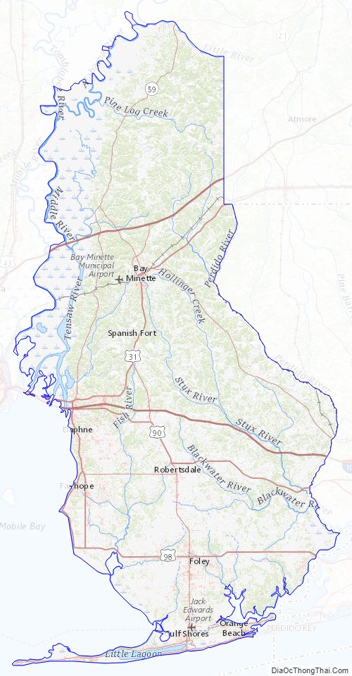
Baldwin County Topographic Map
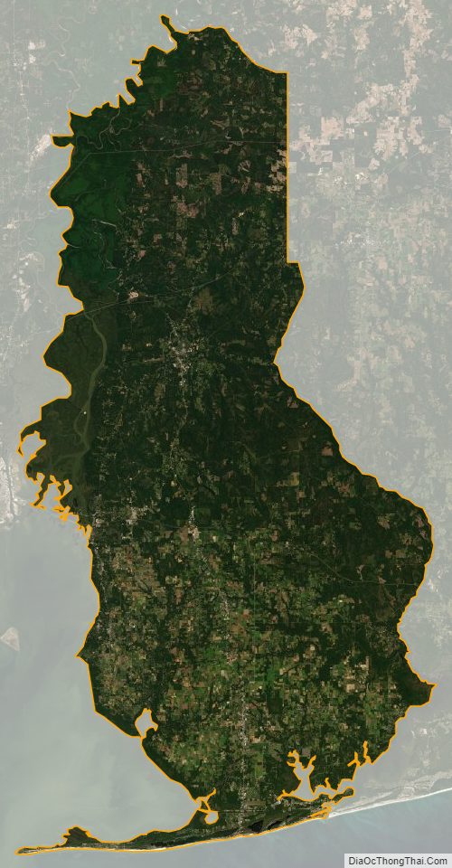
Baldwin County Satellite Map
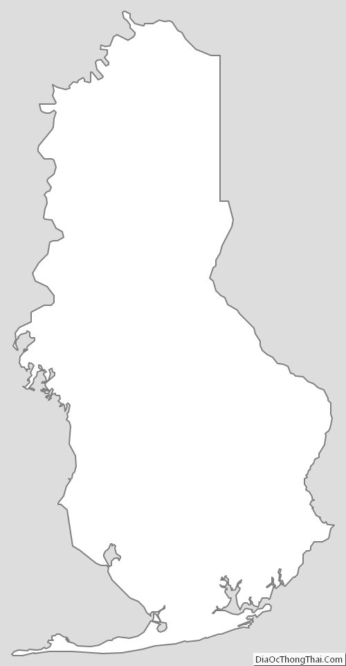
Baldwin County Outline Map