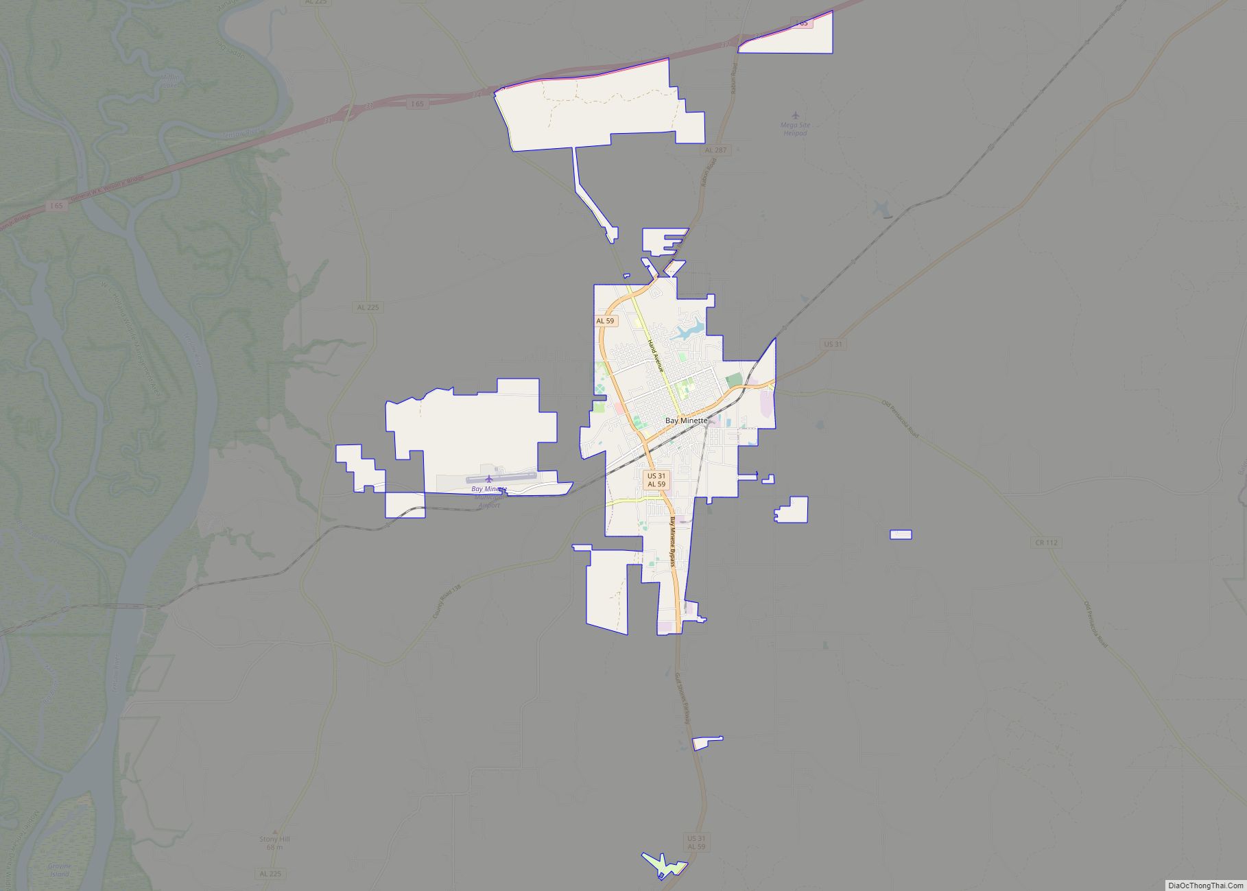
Bay Minette is a city in and the county seat of Baldwin County, Alabama, United States. As of the 2010 census, the population of the city was 8,044.
| Name: | Bay Minette city |
|---|---|
| LSAD Code: | 25 |
| LSAD Description: | city (suffix) |
| State: | Alabama |
| County: | Baldwin County |
| Elevation: | 269 ft (82 m) |
| Total Area: | 17.34 sq mi (44.91 km²) |
| Land Area: | 17.26 sq mi (44.71 km²) |
| Water Area: | 0.08 sq mi (0.20 km²) |
| Total Population: | 8,107 |
| Population Density: | 469.64/sq mi (181.33/km²) |
| ZIP code: | 36507 |
| Area code: | 251 |
| FIPS code: | 0104660 |
| GNISfeature ID: | 0113588 |
| Website: | cityofbayminette.org |
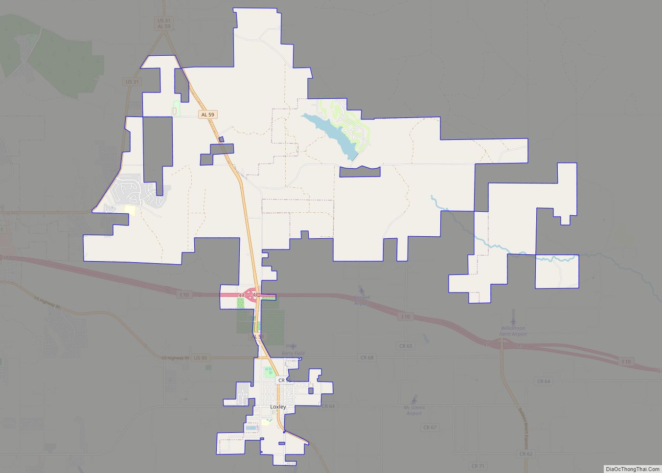
Online Interactive Map
Click on ![]() to view map in "full screen" mode.
to view map in "full screen" mode.
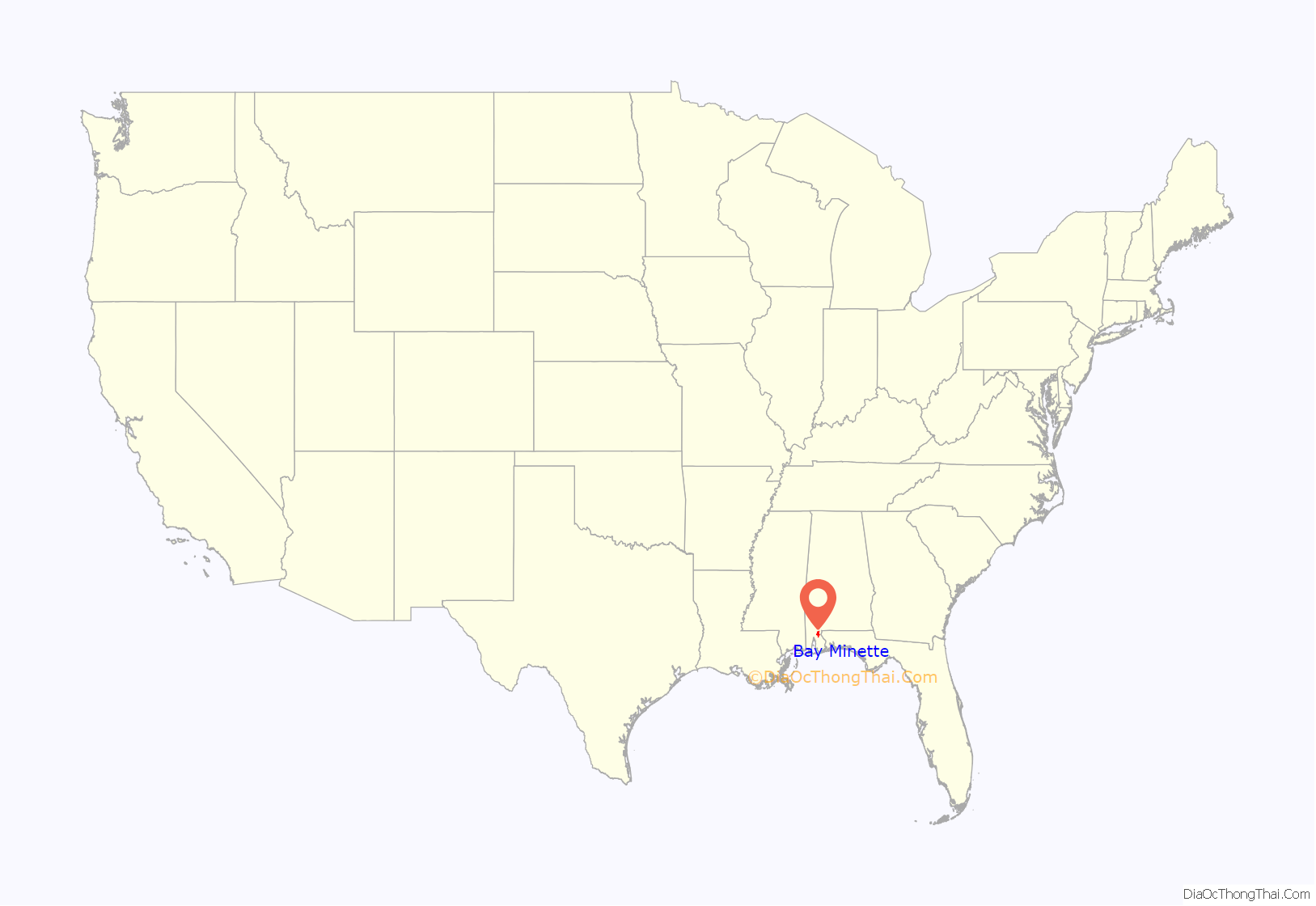
Bay Minette location map. Where is Bay Minette city?

History
In the first days of Baldwin County, the town of McIntosh Bluff (now in Mobile County, west of Baldwin County) on the Tombigbee River was the county seat. After being transferred to the town of Blakeley in 1810, the county seat was later moved to the city of Daphne in 1868. In 1900, by an act of the legislature of Alabama, the county seat was authorized for relocation to the city of Bay Minette; however, the city of Daphne resisted relocation. The citizens of Bay Minette moved the county records from Daphne in the middle of the night on October 11–12, 1901 and delivered them to the city of Bay Minette – where the Baldwin County seat remains to this day. A mural for the new post office built in 1937 was commissioned by the WPA and painted by Hilton Leech, to commemorate this event.
In September 2011, the town attempted to enact a program called “Operation Restore Our Community”. It would have allowed those convicted of a misdemeanor to substitute imprisonment with mandatory church attendance for one year. However, this program was challenged due to violating separation of church and state, and the program’s start was delayed for judicial review. It appears to have been scrapped.
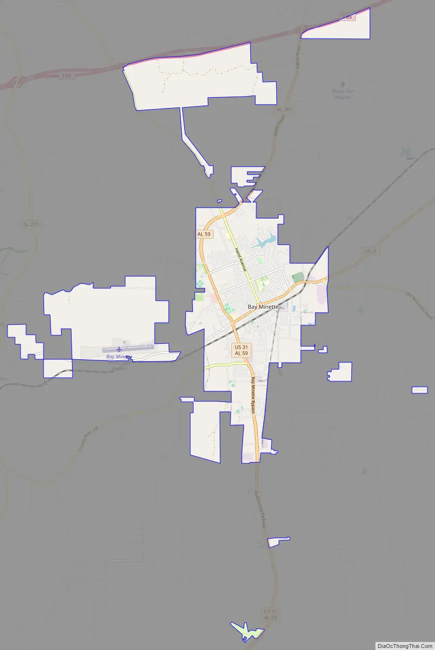
Bay Minette Road Map
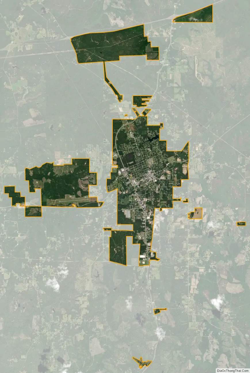
Bay Minette city Satellite Map
Geography
Bay Minette is located near the center of Baldwin County in southern Alabama at 30°53′0″N 87°46′38″W / 30.88333°N 87.77722°W / 30.88333; -87.77722 (30.883446, -87.777183). It is sited on high ground 5 miles (8 km) east of the Mobile River/Tensaw River valley and 6 miles (10 km) west of the Florida border formed by the Perdido River. U.S. Route 31 passes through the center of the city, leading south to Spanish Fort and northeast to Atmore. Interstate 65 passes about 5 miles (8 km) north of the city, with access from exit 34 (State Route 59) and exit 37 (State Route 287).
According to the U.S. Census Bureau, the city has a total area of 8.6 square miles (22.4 km), of which 8.6 square miles (22.2 km) is land and 0.077 square miles (0.2 km), or 0.75%, is water.
Climate
The climate in this area is characterized by hot, humid summers and generally mild to cool winters. According to the Köppen Climate Classification system, Bay Minette has a humid subtropical climate, abbreviated “Cfa” on climate maps.
See also
Map of Alabama State and its subdivision:- Autauga
- Baldwin
- Barbour
- Bibb
- Blount
- Bullock
- Butler
- Calhoun
- Chambers
- Cherokee
- Chilton
- Choctaw
- Clarke
- Clay
- Cleburne
- Coffee
- Colbert
- Conecuh
- Coosa
- Covington
- Crenshaw
- Cullman
- Dale
- Dallas
- De Kalb
- Elmore
- Escambia
- Etowah
- Fayette
- Franklin
- Geneva
- Greene
- Hale
- Henry
- Houston
- Jackson
- Jefferson
- Lamar
- Lauderdale
- Lawrence
- Lee
- Limestone
- Lowndes
- Macon
- Madison
- Marengo
- Marion
- Marshall
- Mobile
- Monroe
- Montgomery
- Morgan
- Perry
- Pickens
- Pike
- Randolph
- Russell
- Saint Clair
- Shelby
- Sumter
- Talladega
- Tallapoosa
- Tuscaloosa
- Walker
- Washington
- Wilcox
- Winston
- Alabama
- Alaska
- Arizona
- Arkansas
- California
- Colorado
- Connecticut
- Delaware
- District of Columbia
- Florida
- Georgia
- Hawaii
- Idaho
- Illinois
- Indiana
- Iowa
- Kansas
- Kentucky
- Louisiana
- Maine
- Maryland
- Massachusetts
- Michigan
- Minnesota
- Mississippi
- Missouri
- Montana
- Nebraska
- Nevada
- New Hampshire
- New Jersey
- New Mexico
- New York
- North Carolina
- North Dakota
- Ohio
- Oklahoma
- Oregon
- Pennsylvania
- Rhode Island
- South Carolina
- South Dakota
- Tennessee
- Texas
- Utah
- Vermont
- Virginia
- Washington
- West Virginia
- Wisconsin
- Wyoming