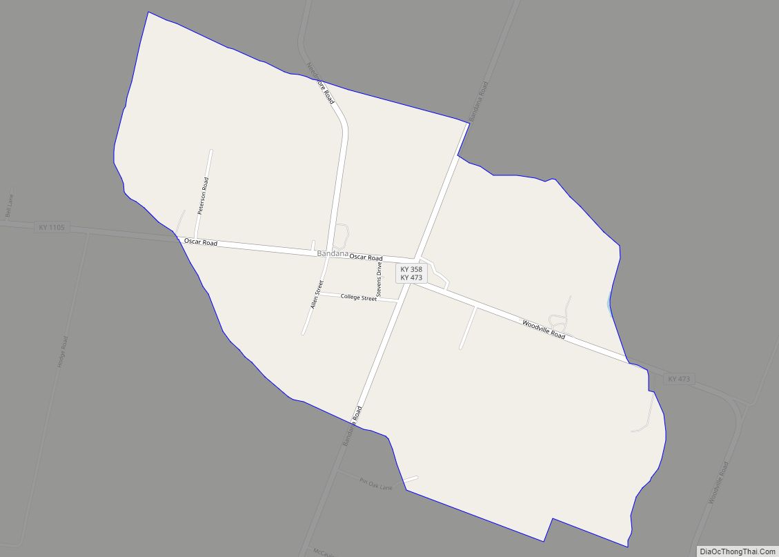
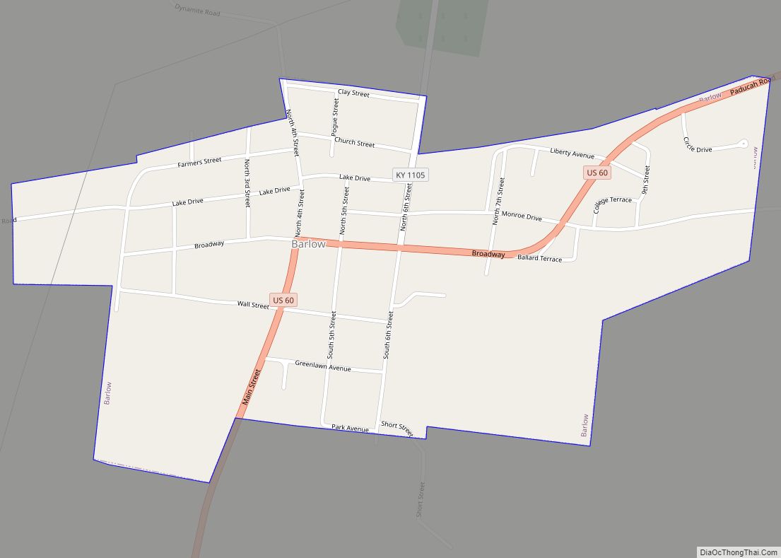
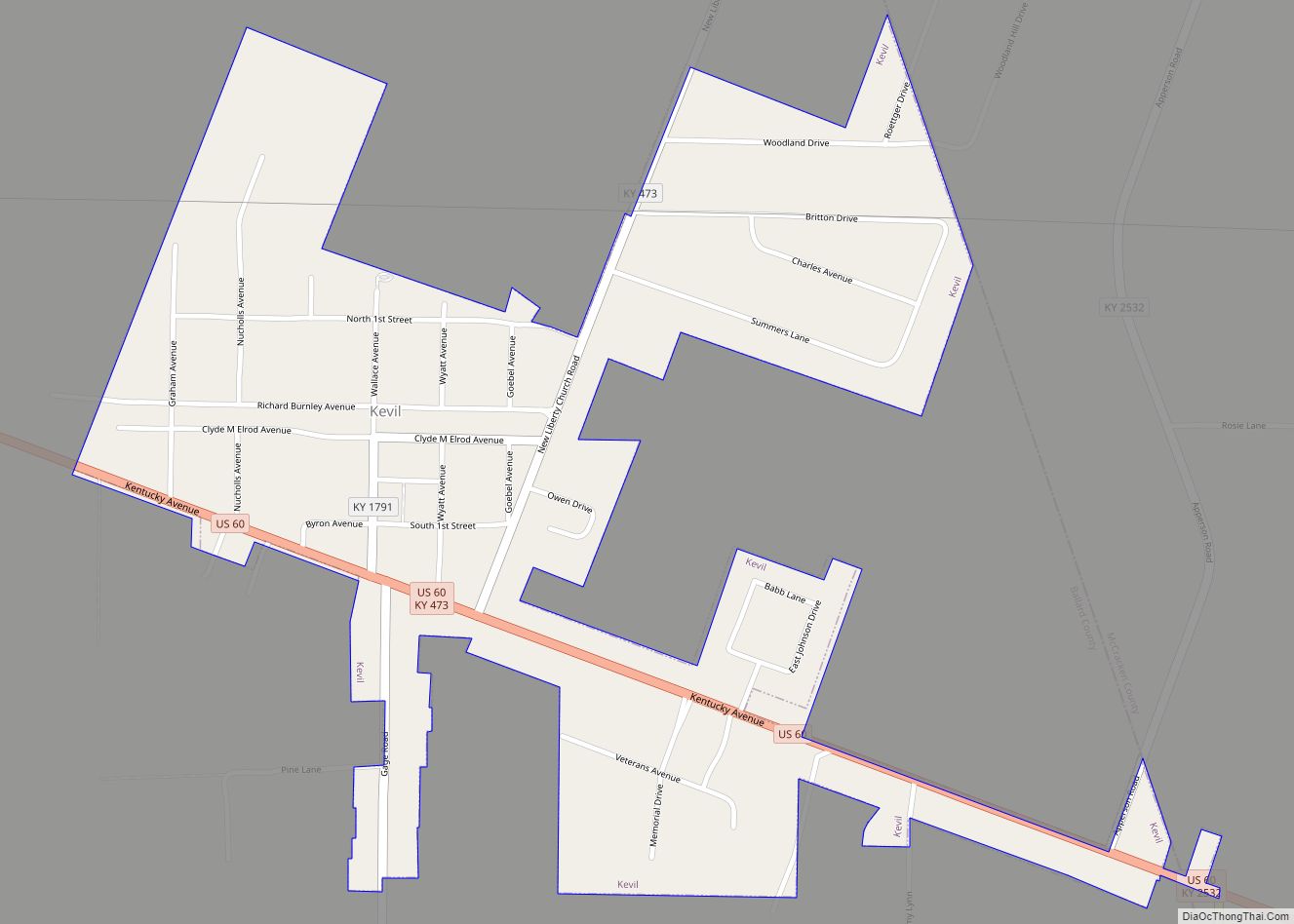
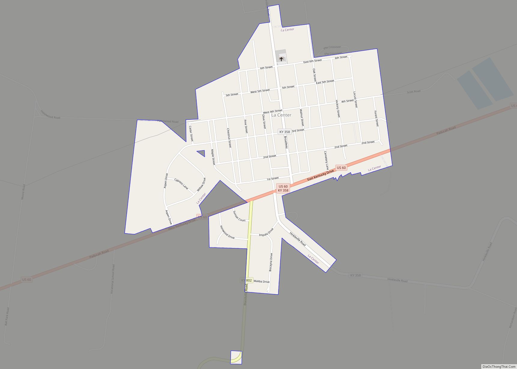
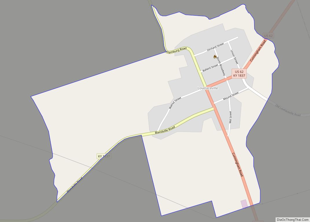
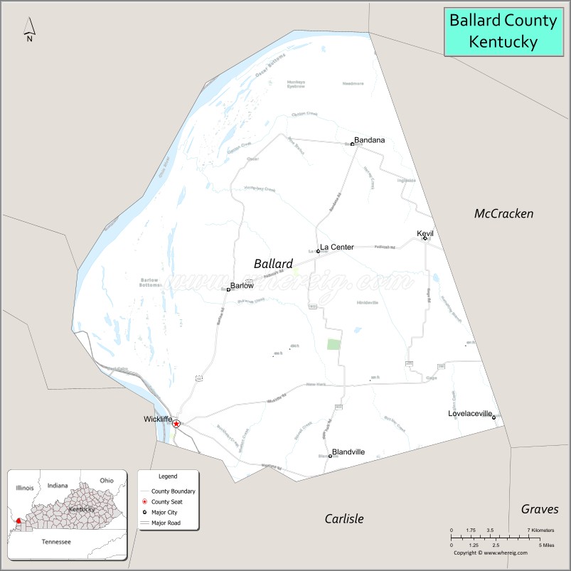
Ballard County is a county located in the extreme west portion of the U.S. state of Kentucky. As of the 2020 census, the population was 7,728. Its county seat is Wickliffe and its largest city is LaCenter. The county was created by the Kentucky State Legislature in 1842 and is named for Captain Bland Ballard, a soldier, statesman, and member of the Kentucky General Assembly. Ballard County is part of the Paducah, KY-IL Micropolitan Statistical Area.
| Name: | Ballard County |
|---|---|
| FIPS code: | 21-007 |
| State: | Kentucky |
| Founded: | 1842 |
| Named for: | Bland Ballard |
| Seat: | Wickliffe |
| Largest city: | LaCenter |
| Total Area: | 274 sq mi (710 km²) |
| Land Area: | 247 sq mi (640 km²) |
| Total Population: | 7,728 |
| Population Density: | 28/sq mi (11/km²) |
| Time zone: | UTC−6 (Central) |
| Summer Time Zone (DST): | UTC−5 (CDT) |
| Website: | www.ballardcounty.ky.gov |
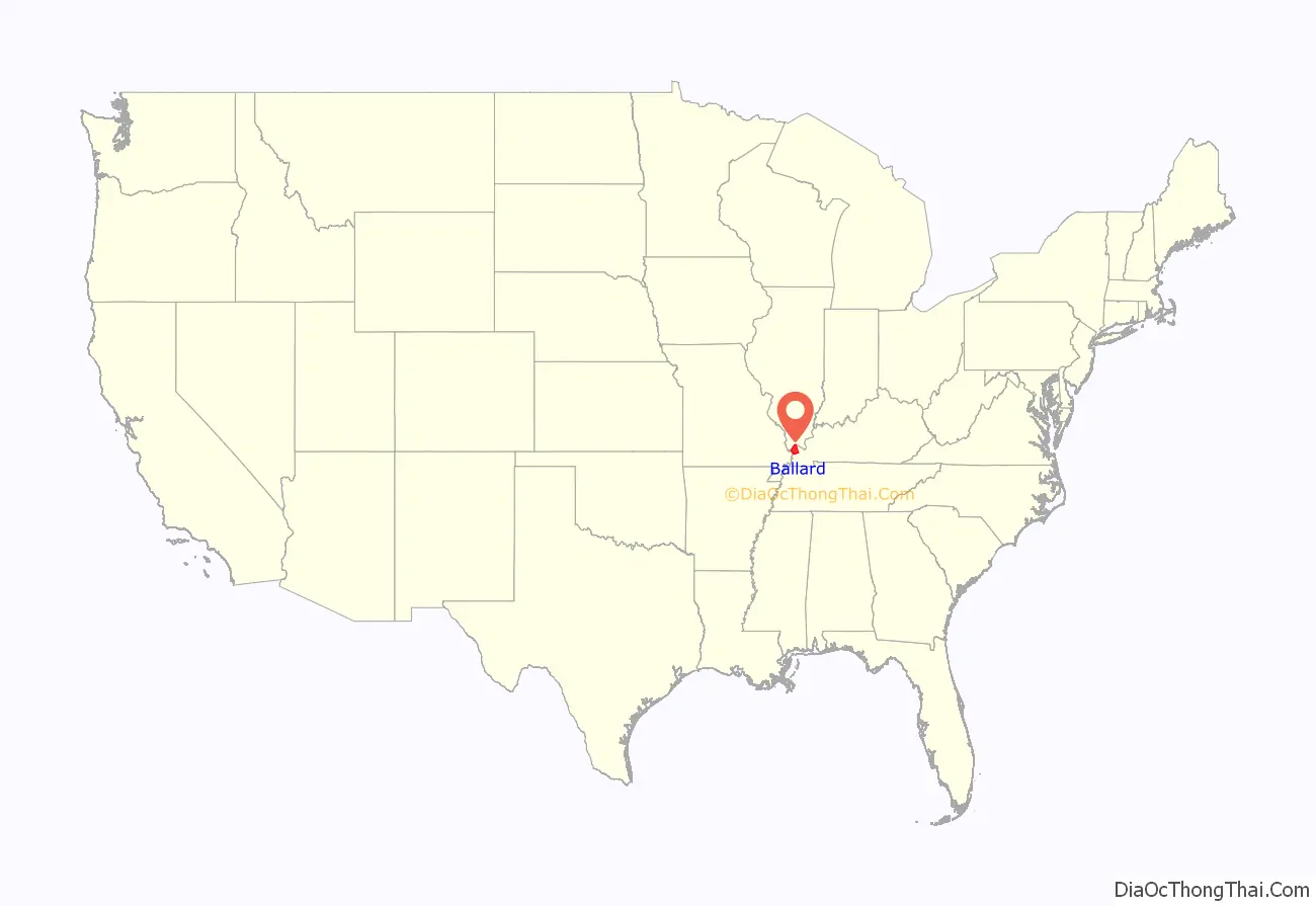
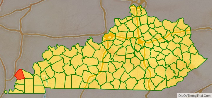
Ballard County location map. Where is Ballard County?
History
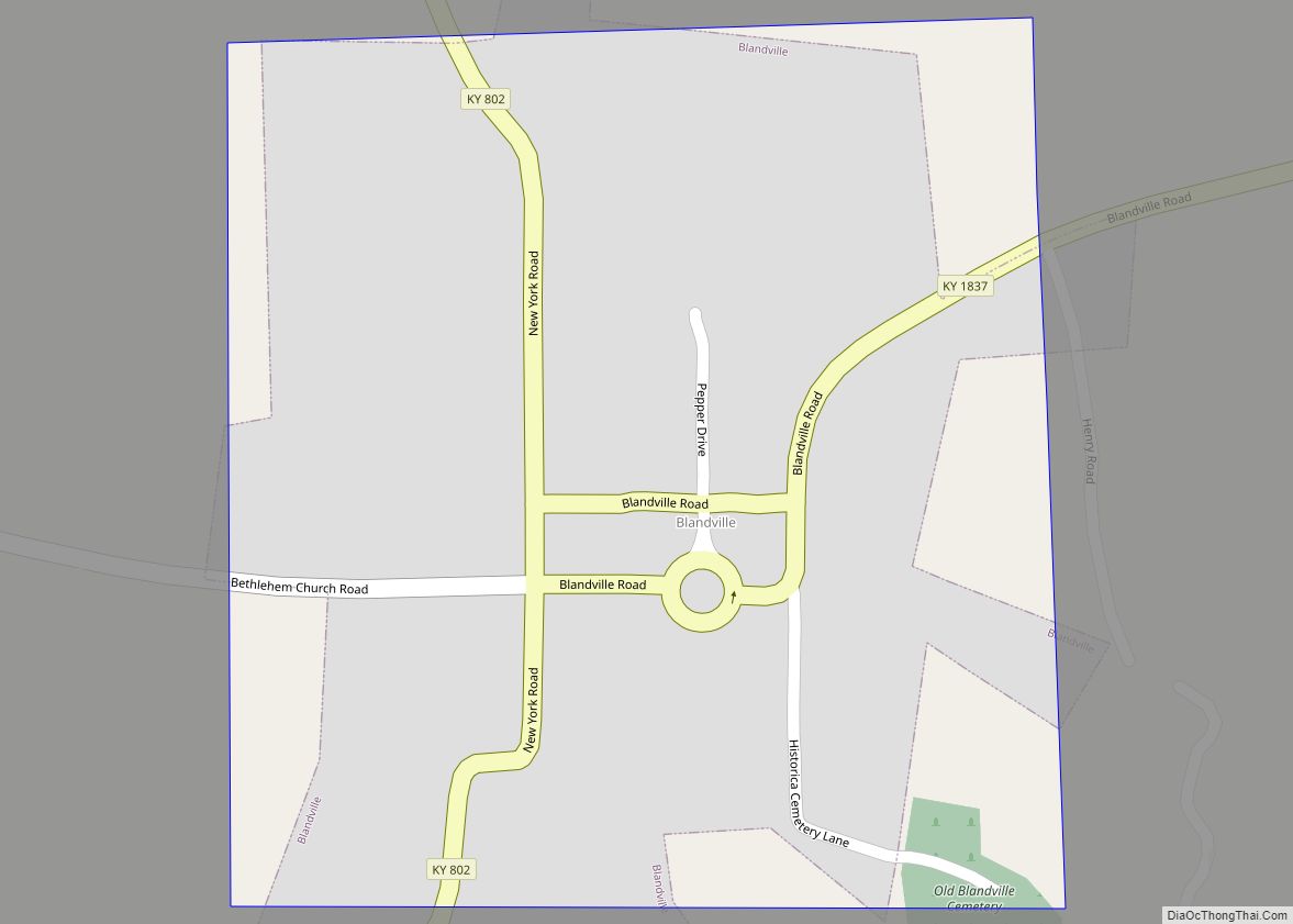
Ballard County was formed from portions of Hickman County and McCracken County. It was named for Bland Ballard (1761–1853), a Kentucky pioneer and soldier who served as a scout for General George Rogers Clark during the American Revolutionary War, and later commanded a company during the War of 1812. On February 17, 1880, the courthouse was destroyed by a fire, which also destroyed most of the county’s early records. The county seat was transferred from Blandville to Wickliffe in 1882.
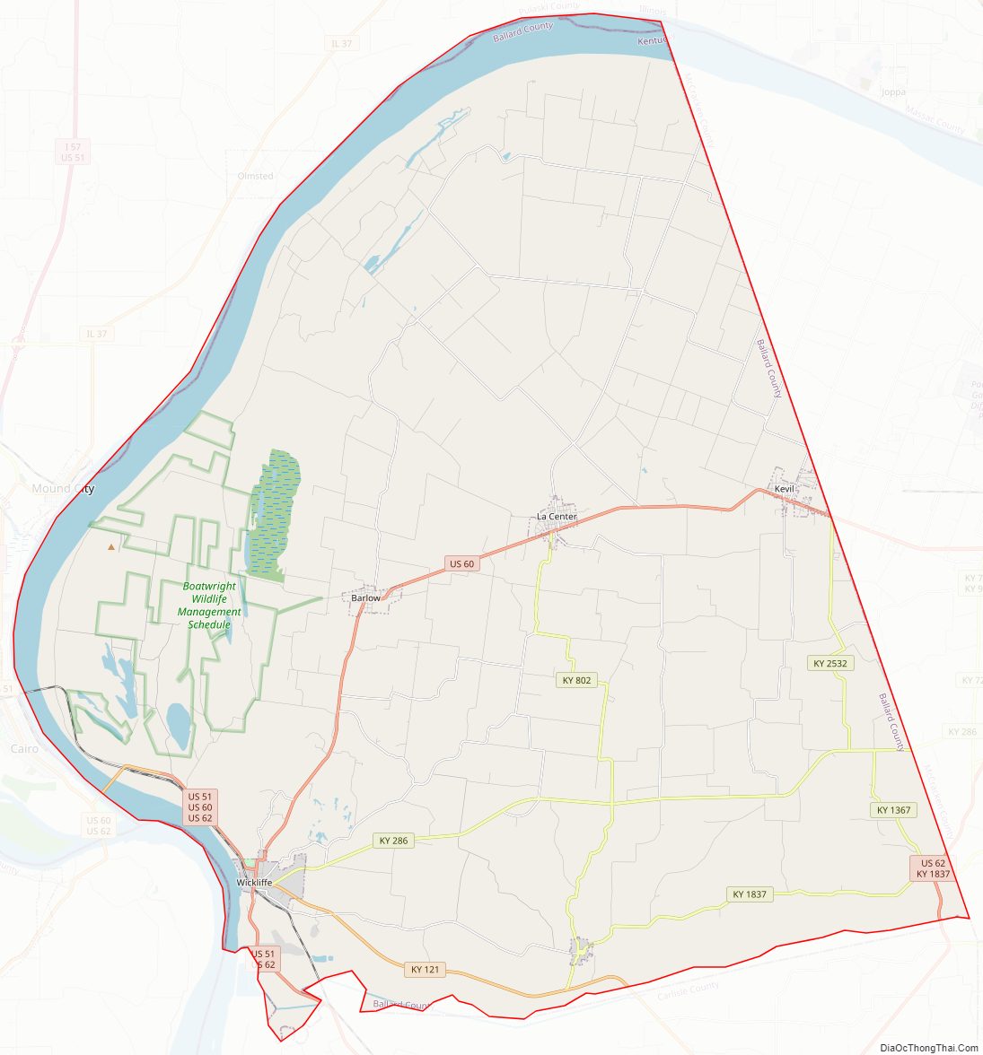
Ballard County Road Map
Geography
According to the U.S. Census Bureau, the county has a total area of 274 square miles (710 km), of which 247 square miles (640 km) is land and 27 square miles (70 km) (9.9%) is water.
State protected area
Axe Lake Swamp State Nature Preserve is a 458 acres (1.85 km) nature preserve located in Ballard County, in the Barlow Bottoms. The preserve is part of the 3,000-acre (12 km) Axe Lake Swamp wetlands complex which supports at least eight rare plant and animal species. The site has been recognized as a priority wetland in the North American Waterfowl Management Plan.
Adjacent counties
- Pulaski County, Illinois (north) – across the Ohio River
- McCracken County (east)
- Carlisle County (south)
- Mississippi County, Missouri (southwest) – across the Mississippi River
- Alexander County, Illinois (west) – across the Ohio River
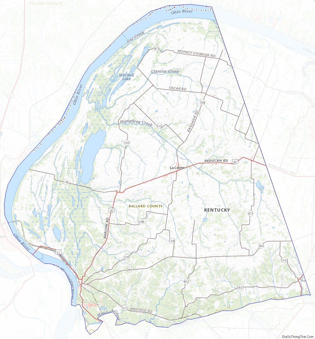
Ballard County Topographic Map
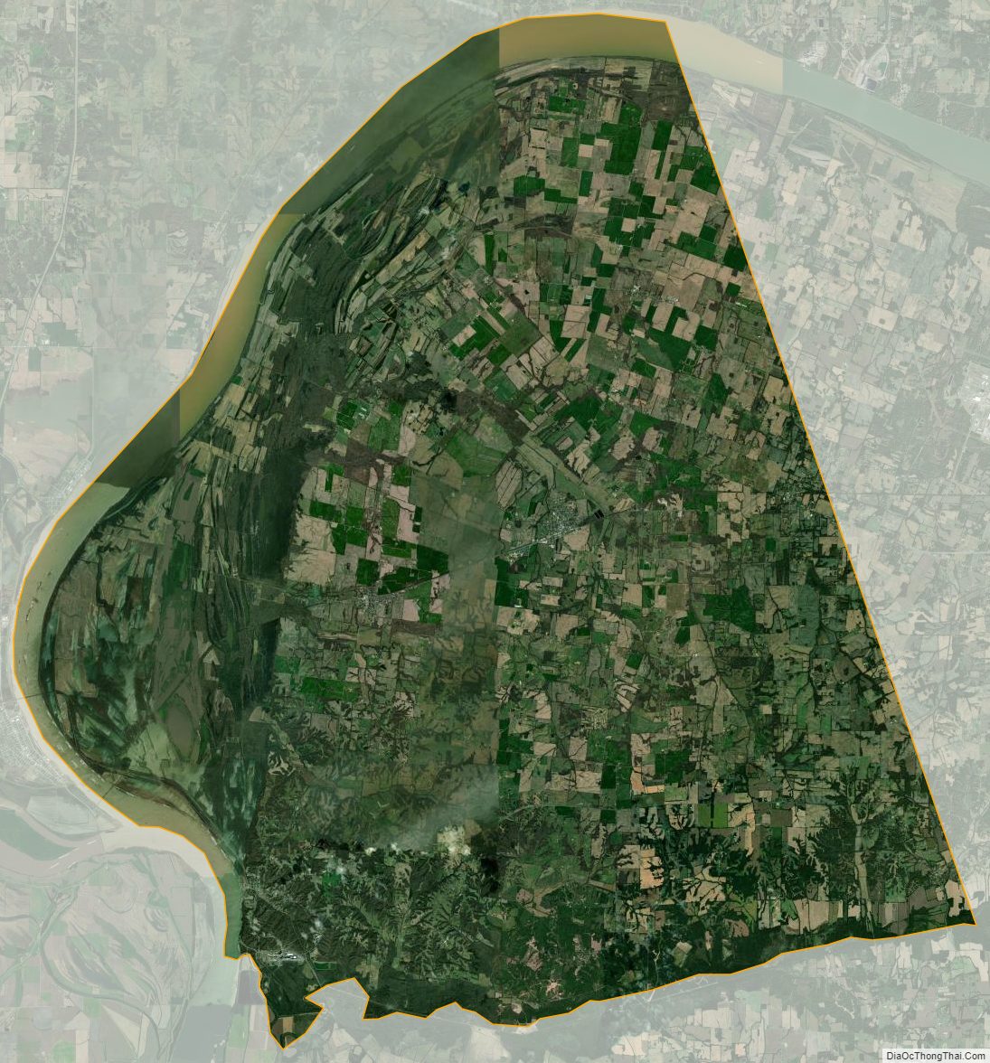
Ballard County Satellite Map
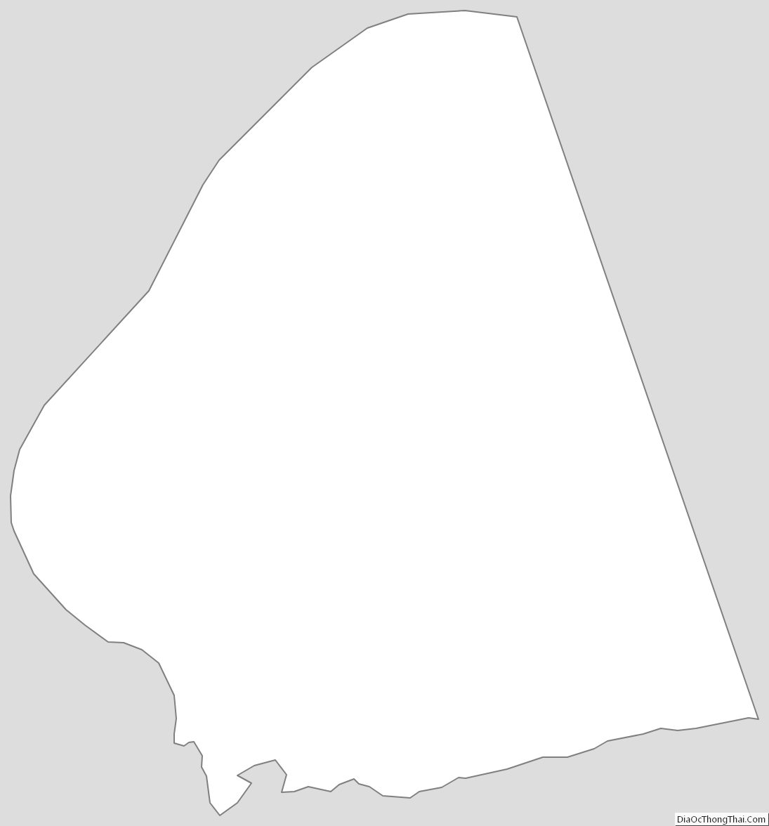
Ballard County Outline Map