Wickliffe is a home rule-class city in Ballard County, Kentucky, United States. The population was 688 at the 2010 census. It is the county seat of Ballard County.
Wickliffe is part of the Paducah, KY-IL Micropolitan Statistical Area.
| Name: | Wickliffe city |
|---|---|
| LSAD Code: | 25 |
| LSAD Description: | city (suffix) |
| State: | Kentucky |
| County: | Ballard County |
| Elevation: | 354 ft (108 m) |
| Total Area: | 1.56 sq mi (4.04 km²) |
| Land Area: | 1.55 sq mi (4.02 km²) |
| Water Area: | 0.01 sq mi (0.02 km²) |
| Total Population: | 670 |
| Population Density: | 431.70/sq mi (166.69/km²) |
| ZIP code: | 42087 |
| Area code: | 270 & 364 |
| FIPS code: | 2183064 |
| GNISfeature ID: | 0506708 |
| Website: | wickliffe.ky.gov |
Online Interactive Map
Click on ![]() to view map in "full screen" mode.
to view map in "full screen" mode.
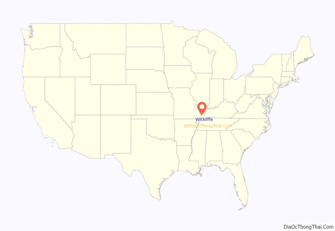
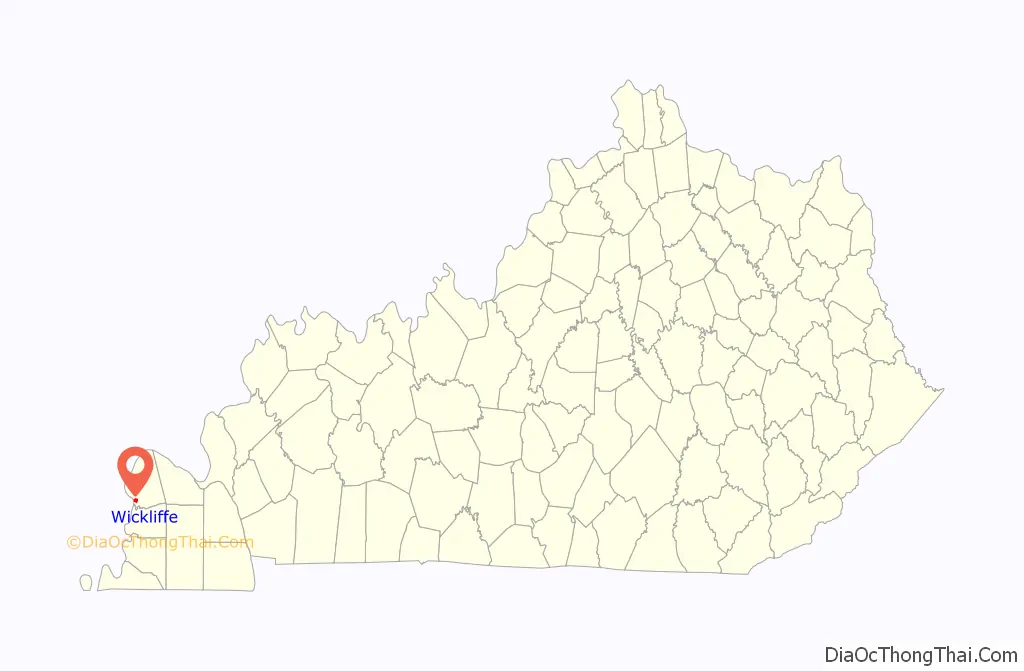
Wickliffe location map. Where is Wickliffe city?
History
The city of Wickliffe is the site of a Mississippian culture village now known only as Wickliffe Mounds. The village was occupied from around 1100-1300 AD. Today, Wickliffe Mounds is a state historic site and home to a research center and museum.
In 1780 during the Revolutionary War, General George Rogers Clark established Fort Jefferson on a hill overlooking the Mississippi River one mile south of present-day Wickliffe. The fort was intended to protect what was then the western boundary of the infant United States from raids by the British Army and Native Americans. It was abandoned in 1781 after a siege by the Chickasaw.
The site later served as a Union Army post during the Civil War. General Ulysses S. Grant directed a demonstration against the Confederate-held position at Columbus, Kentucky, in January 1862. Troops from the post joined in capturing Fort Henry in February 1862. It served as a Union supply post for operations in the western theater of the war.
A 90-foot-tall (27 m) cross, the Fort Jefferson Memorial Cross at the Confluence, was completed in 2000 on Fort Jefferson hill.
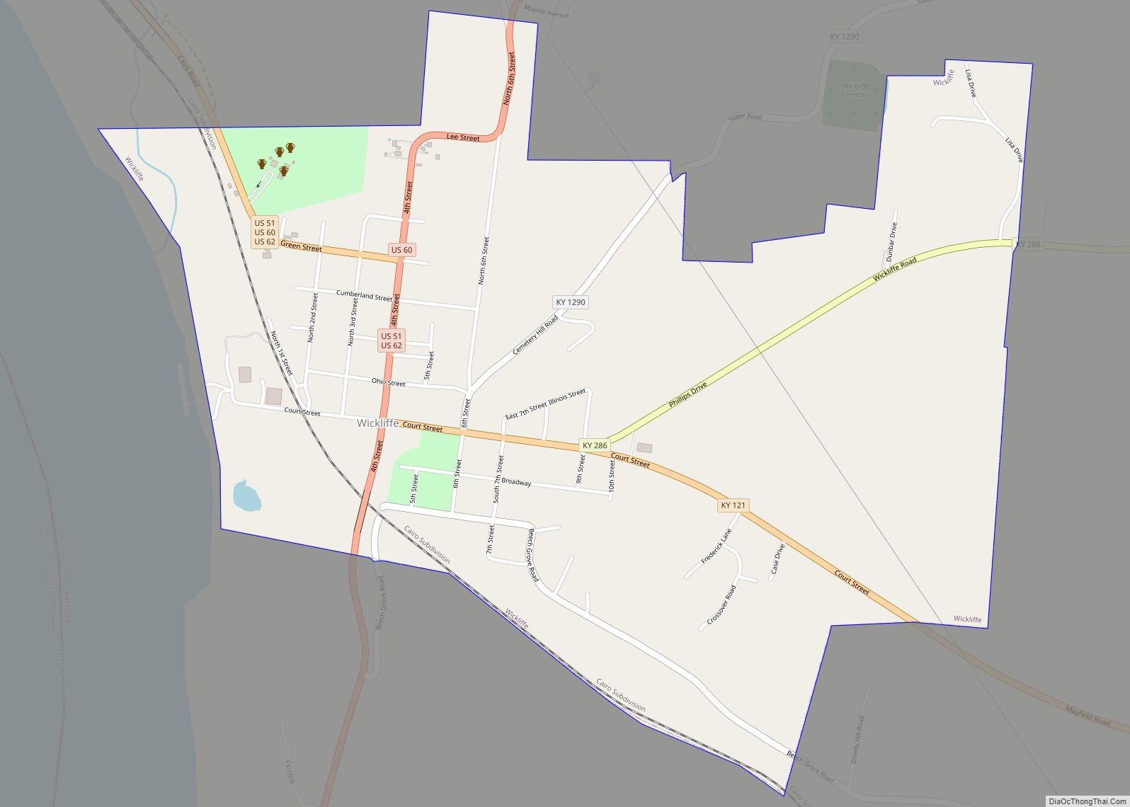
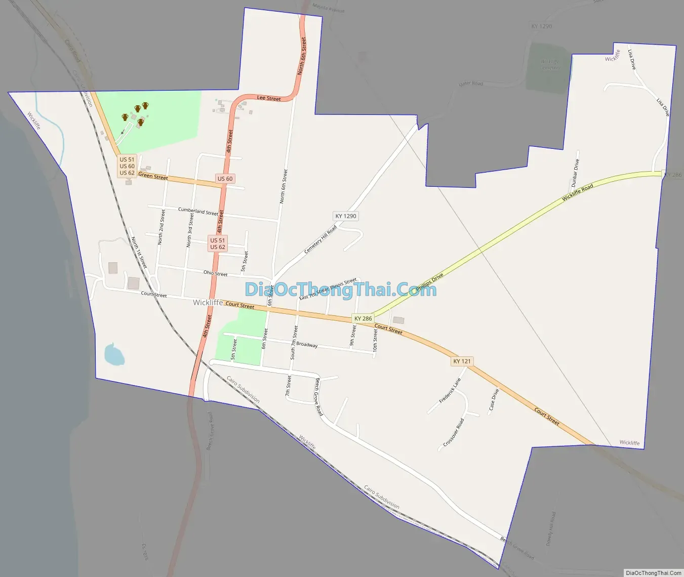
Wickliffe Road Map
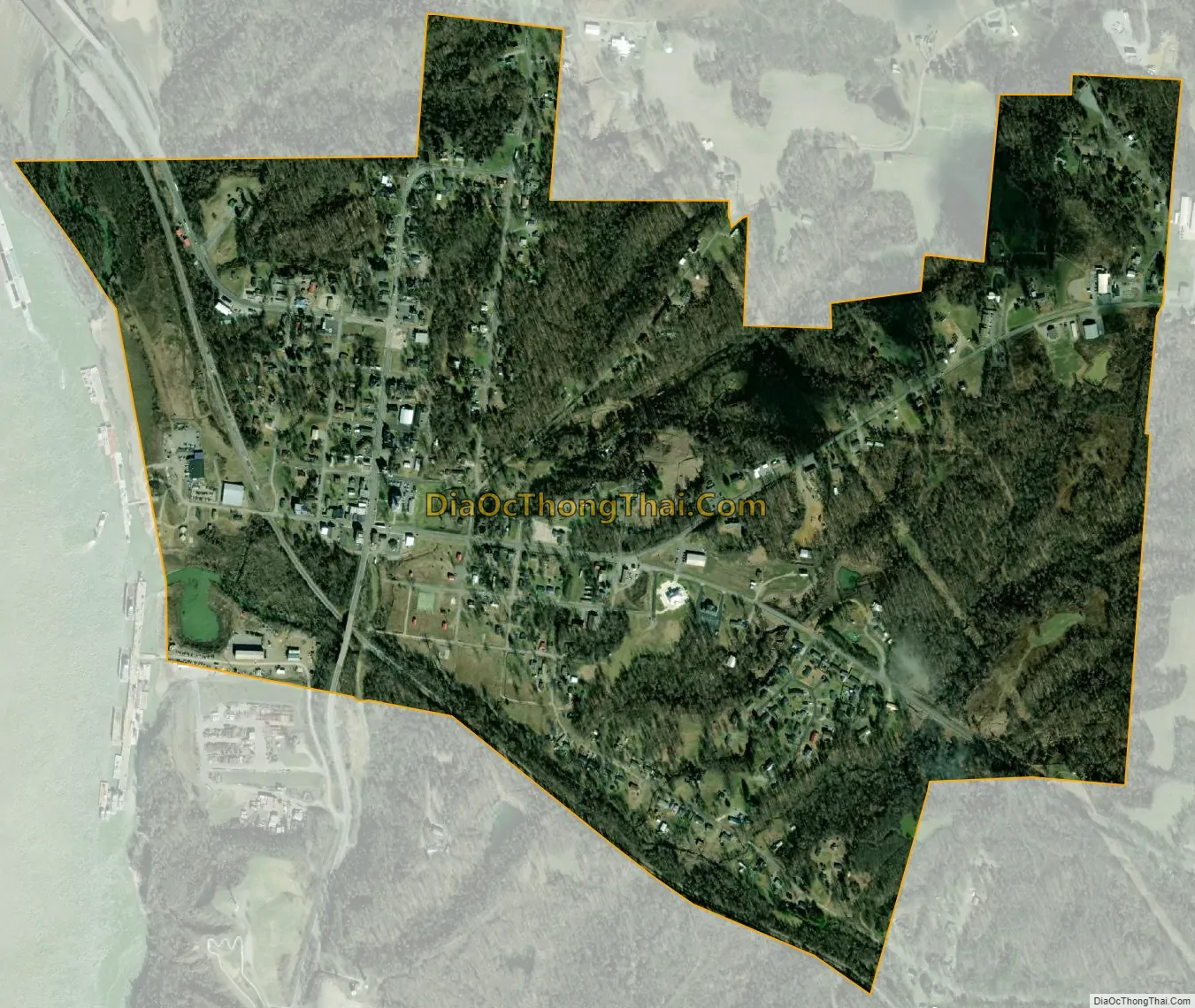
Wickliffe city Satellite Map
Geography
Wickliffe is located at 36°58′00″N 89°05′13″W / 36.966600°N 89.086822°W / 36.966600; -89.086822 on the east bank of the Mississippi River, about two miles south of its confluence with the Ohio River, near its easternmost point.
According to the United States Census Bureau, the city has a total area of 1.2 square miles (3.0 km), of which 0.008 square miles (0.02 km), or 0.58%, is water.
See also
Map of Kentucky State and its subdivision:- Adair
- Allen
- Anderson
- Ballard
- Barren
- Bath
- Bell
- Boone
- Bourbon
- Boyd
- Boyle
- Bracken
- Breathitt
- Breckinridge
- Bullitt
- Butler
- Caldwell
- Calloway
- Campbell
- Carlisle
- Carroll
- Carter
- Casey
- Christian
- Clark
- Clay
- Clinton
- Crittenden
- Cumberland
- Daviess
- Edmonson
- Elliott
- Estill
- Fayette
- Fleming
- Floyd
- Franklin
- Fulton
- Gallatin
- Garrard
- Grant
- Graves
- Grayson
- Green
- Greenup
- Hancock
- Hardin
- Harlan
- Harrison
- Hart
- Henderson
- Henry
- Hickman
- Hopkins
- Jackson
- Jefferson
- Jessamine
- Johnson
- Kenton
- Knott
- Knox
- Larue
- Laurel
- Lawrence
- Lee
- Leslie
- Letcher
- Lewis
- Lincoln
- Livingston
- Logan
- Lyon
- Madison
- Magoffin
- Marion
- Marshall
- Martin
- Mason
- McCracken
- McCreary
- McLean
- Meade
- Menifee
- Mercer
- Metcalfe
- Monroe
- Montgomery
- Morgan
- Muhlenberg
- Nelson
- Nicholas
- Ohio
- Oldham
- Owen
- Owsley
- Pendleton
- Perry
- Pike
- Powell
- Pulaski
- Robertson
- Rockcastle
- Rowan
- Russell
- Scott
- Shelby
- Simpson
- Spencer
- Taylor
- Todd
- Trigg
- Trimble
- Union
- Warren
- Washington
- Wayne
- Webster
- Whitley
- Wolfe
- Woodford
- Alabama
- Alaska
- Arizona
- Arkansas
- California
- Colorado
- Connecticut
- Delaware
- District of Columbia
- Florida
- Georgia
- Hawaii
- Idaho
- Illinois
- Indiana
- Iowa
- Kansas
- Kentucky
- Louisiana
- Maine
- Maryland
- Massachusetts
- Michigan
- Minnesota
- Mississippi
- Missouri
- Montana
- Nebraska
- Nevada
- New Hampshire
- New Jersey
- New Mexico
- New York
- North Carolina
- North Dakota
- Ohio
- Oklahoma
- Oregon
- Pennsylvania
- Rhode Island
- South Carolina
- South Dakota
- Tennessee
- Texas
- Utah
- Vermont
- Virginia
- Washington
- West Virginia
- Wisconsin
- Wyoming