Barbour County is a county in the southeastern part of the U.S. state of Alabama. As of the 2020 census, the population was 25,223. Its county seat is Clayton. Its largest city is Eufaula. Its name is in honor of James Barbour, who served as Governor of Virginia.
| Name: | Barbour County |
|---|---|
| FIPS code: | 01-005 |
| State: | Alabama |
| Founded: | December 18, 1832 |
| Named for: | James Barbour |
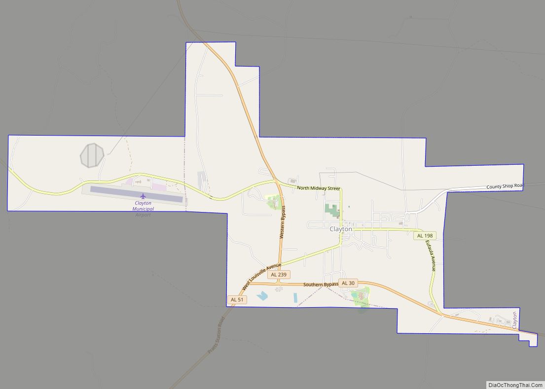
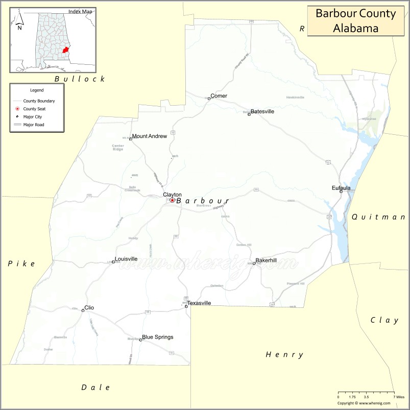
| Seat: | Clayton |
| Largest city: | Eufaula |
| Total Area: | 905 sq mi (2,340 km²) |
| Land Area: | 885 sq mi (2,290 km²) |
| Total Population: | 25,223 |
| Population Density: | 28/sq mi (11/km²) |
| Time zone: | UTC−6 (Central) |
| Summer Time Zone (DST): | UTC−5 (CDT) |
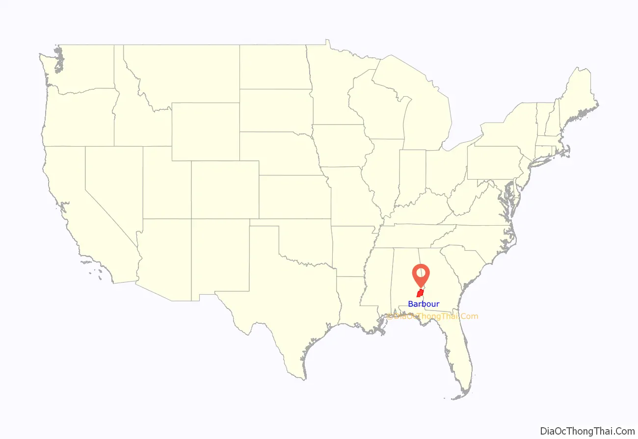
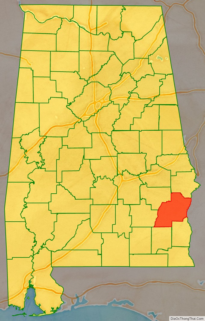
Barbour County location map. Where is Barbour County?
History
Barbour County was established on December 18, 1832, from former Muscogee homelands and a portion of Pike County. Between the years of 1763 and 1783 the area which is now Barbour County was part of the colony of British West Florida. After 1783 the region fell under the jurisdiction of the newly created United States of America. The Muscogee Creek Confederacy was removed to territory west of the Mississippi River. The fertile land was developed by southern migrants as large cotton plantations dependent on slave labor. Due to the number of slaves, the population was soon majority black, a proportion that continued for decades. In the 21st century, the population has a slight white majority, but blacks make up more than 46% of the residents, which results in highly competitive politics.
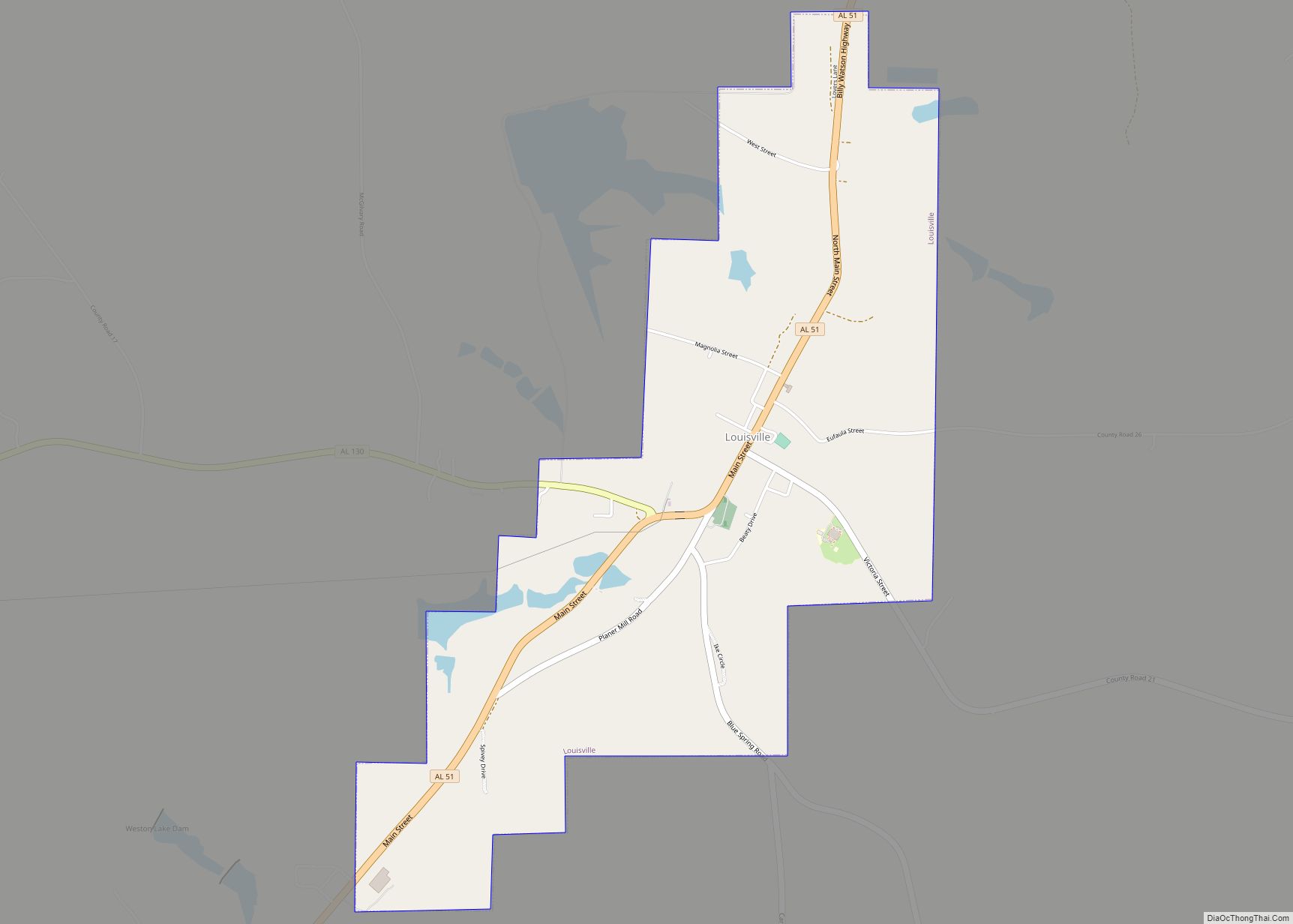
In 1833, Louisville was chosen as the first county seat for Barbour County. The county seat was moved in 1834, after an eleven-member committee selected Clayton because of its central geographic location. Its boundaries were altered in 1866 and 1868. The Election Riot of 1874 occurred near Comer.
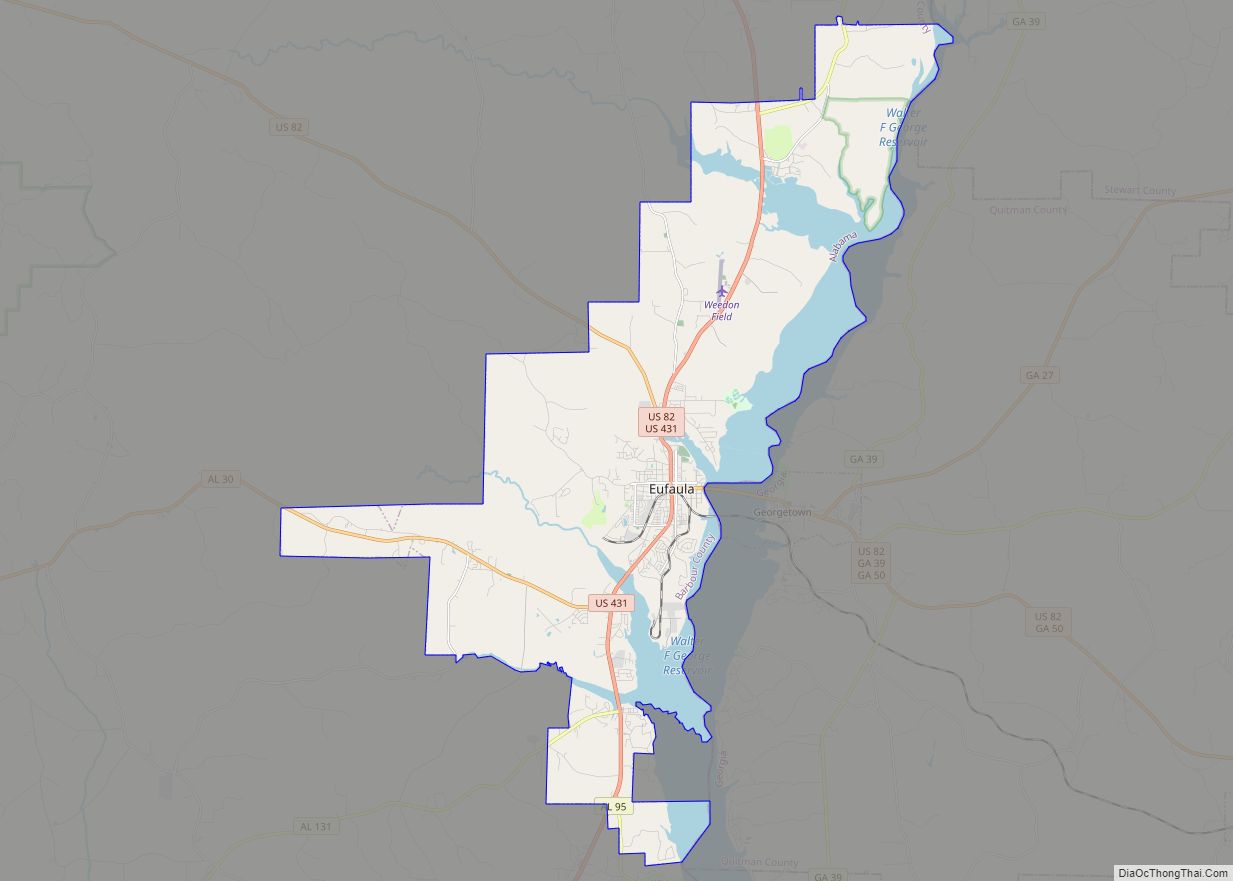
By the 1870s, the city of Eufaula had surpassed Clayton in size, sparking debate about whether the county seat should be moved to the county’s commercial center or remain at its geographic center. Reaching a compromise, the legislature passed Act No. 106 on February 12, 1879, to establish county courts in both Eufaula and Clayton. Today, two county courthouses continue to operate in Barbour County.
Barbour County Road Map
Geography
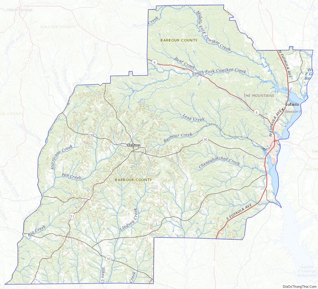
According to the United States Census Bureau, the county has a total area of 905 square miles (2,340 km), of which 885 square miles (2,290 km) is land and 20 square miles (52 km) (2.2%) is water. The county is located within the Wiregrass region of southeast Alabama.
Major highways
- U.S. Highway 82
- U.S. Highway 431
- State Route 10
- State Route 30
- State Route 51
- State Route 95
- State Route 130
- State Route 131
- State Route 165
- State Route 198
- State Route 239
Adjacent counties
- Russell County – northeast
- Quitman County, Georgia – east
- Stewart County, Georgia – east
- Clay County, Georgia – southeast
- Henry County – south
- Dale County – south
- Pike County – west
- Bullock County – northwest
National protected area
- Eufaula National Wildlife Refuge (part)
Barbour County Topographic Map
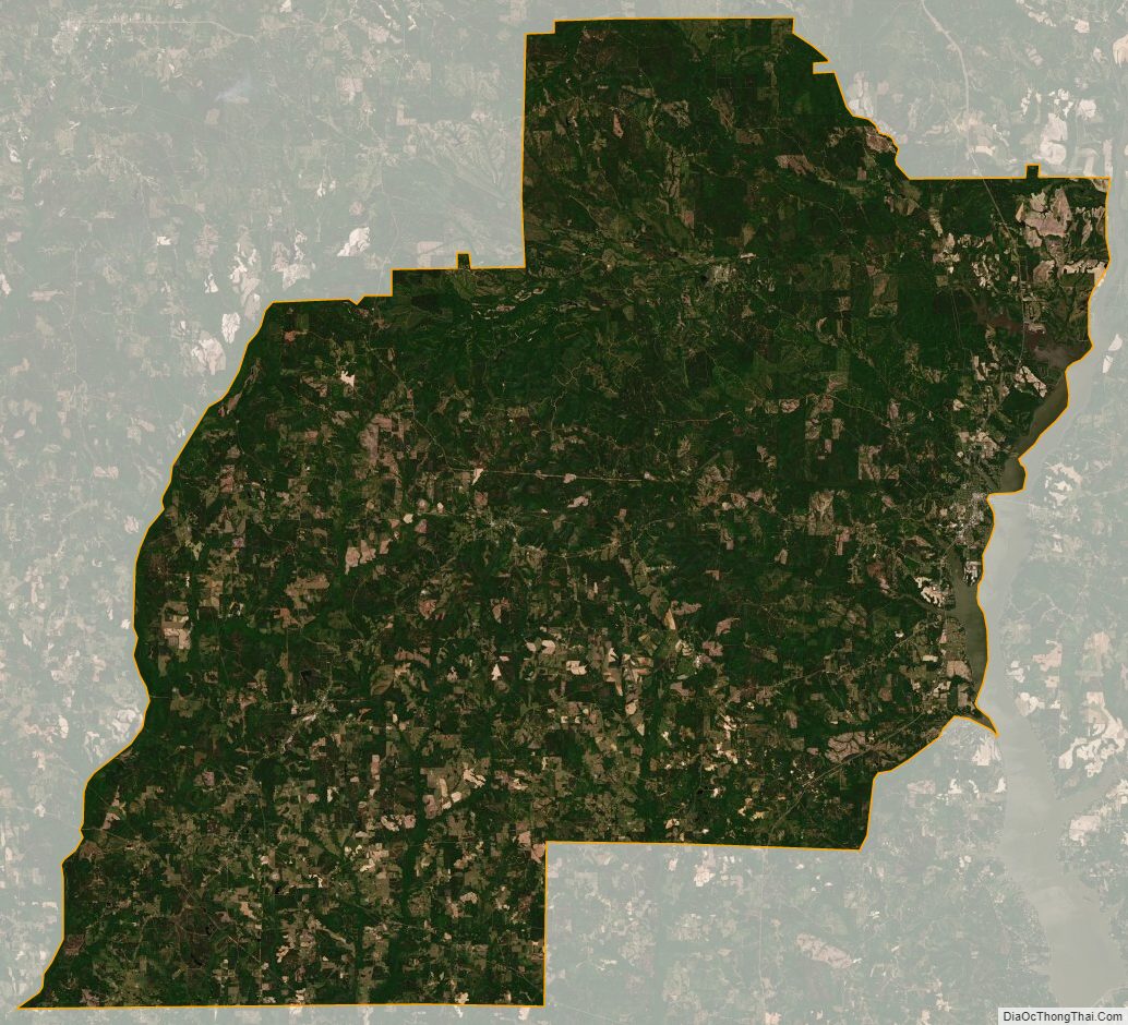
Barbour County Satellite Map
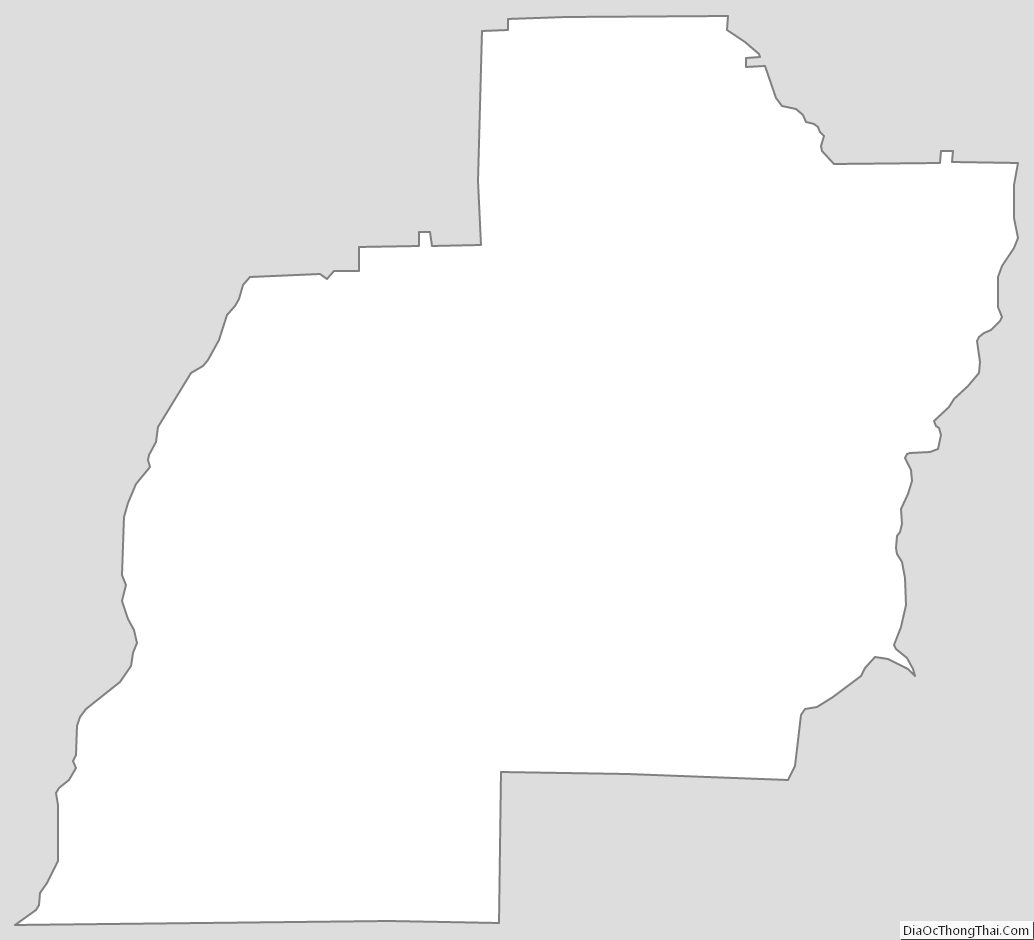
Barbour County Outline Map