Louisville (/ˈluːɪsvɪl/) is a town in Barbour County, Alabama, United States. Originally named “Lewisville” and still pronounced as such. At the 2020 census, the population was 395.
| Name: | Louisville town |
|---|---|
| LSAD Code: | 43 |
| LSAD Description: | town (suffix) |
| State: | Alabama |
| County: | Barbour County |
| Elevation: | 551 ft (168 m) |
| Total Area: | 2.75 sq mi (7.12 km²) |
| Land Area: | 2.75 sq mi (7.12 km²) |
| Water Area: | 0.00 sq mi (0.00 km²) |
| Total Population: | 395 |
| Population Density: | 143.74/sq mi (55.49/km²) |
| ZIP code: | 36048 |
| Area code: | 334 |
| FIPS code: | 0144344 |
| GNISfeature ID: | 0122049 |
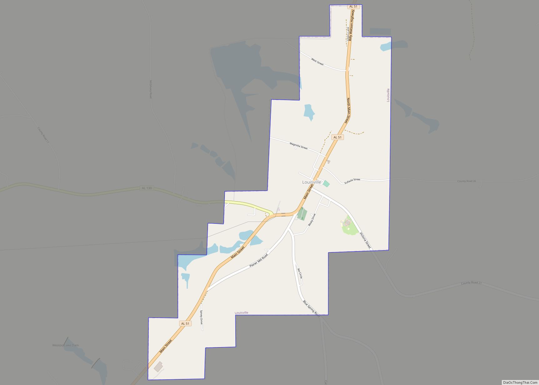
Online Interactive Map
Click on ![]() to view map in "full screen" mode.
to view map in "full screen" mode.
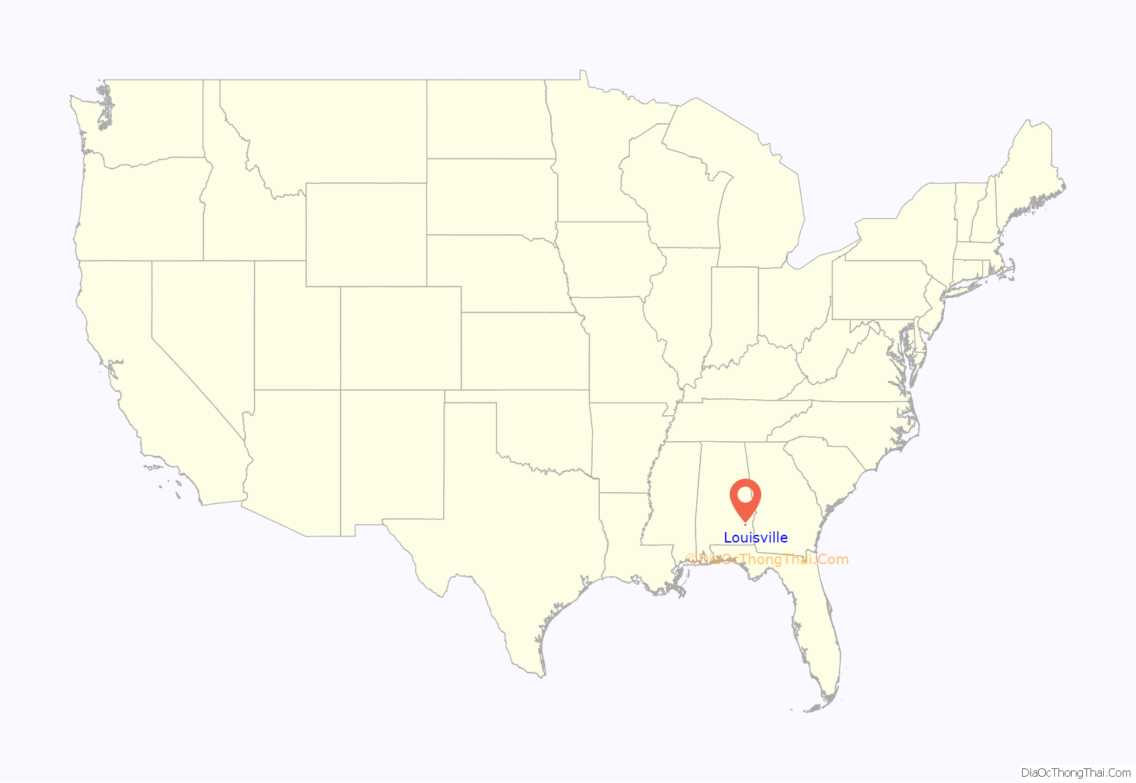
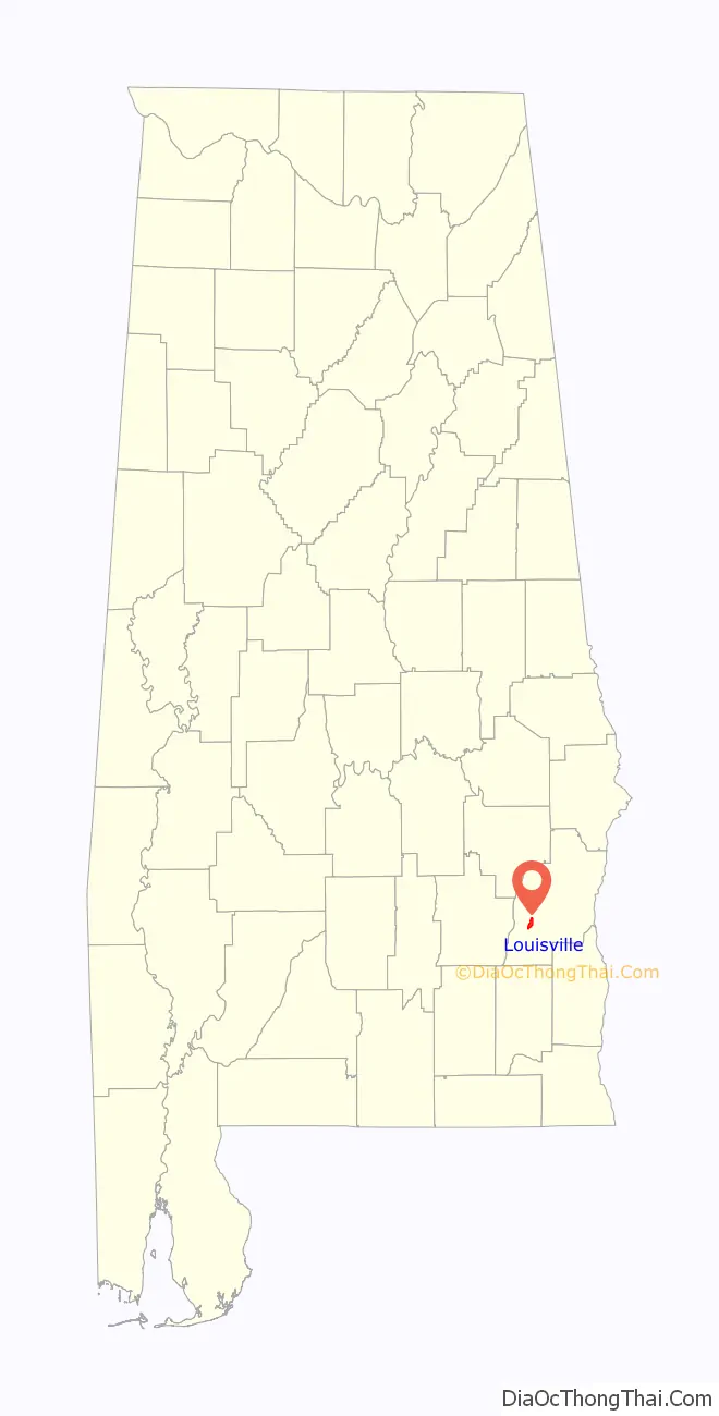
Louisville location map. Where is Louisville town?
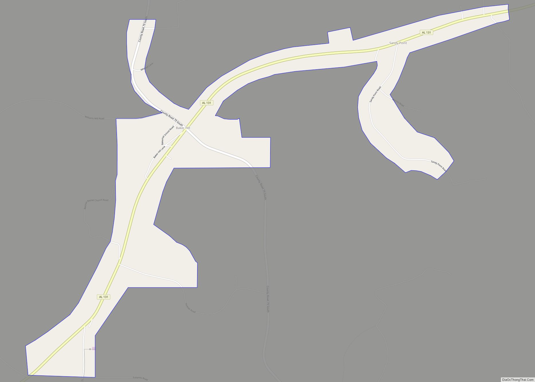
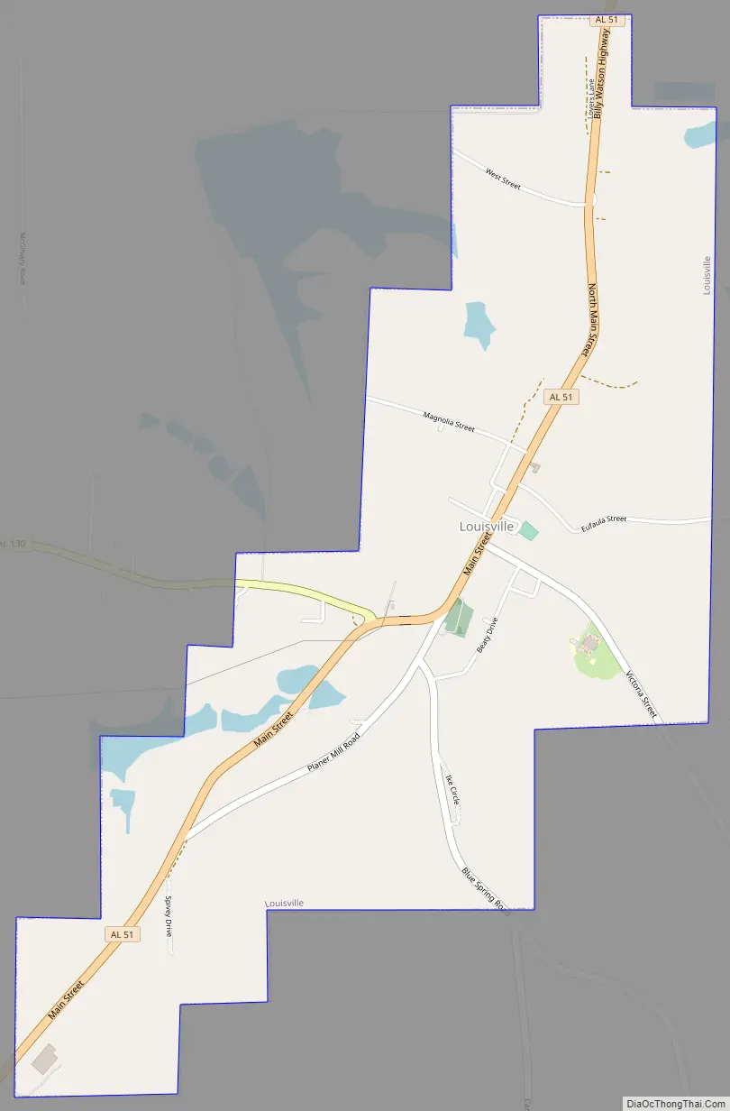
Louisville Road Map
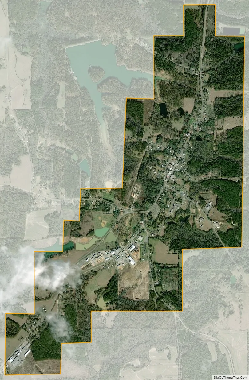
Louisville city Satellite Map
Geography
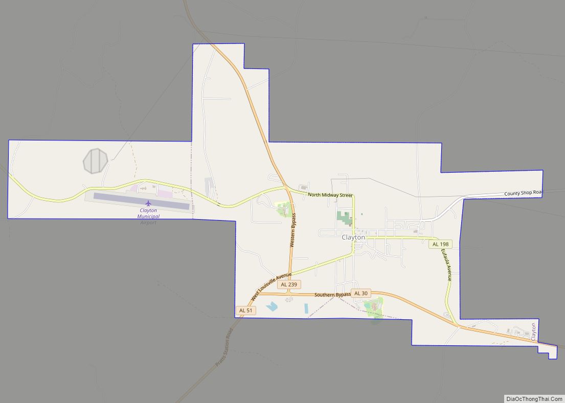
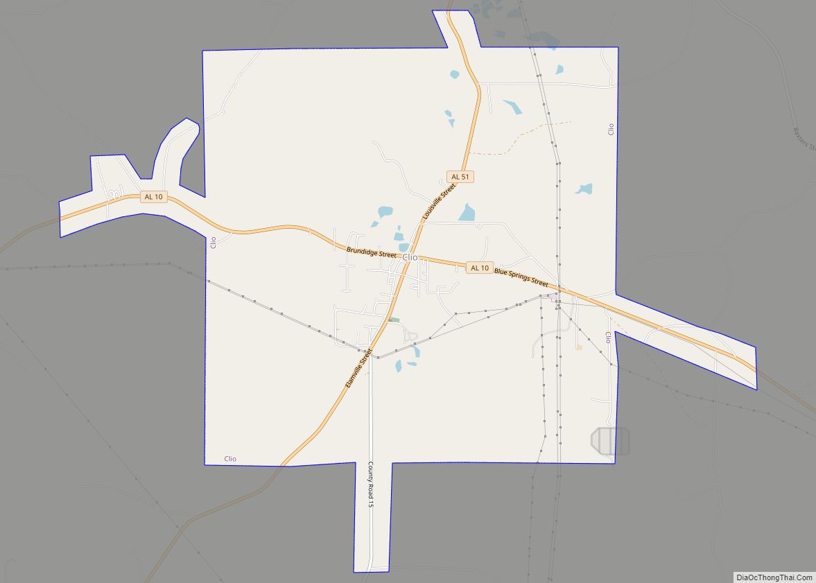
Louisville is 10 miles (16 km) southwest of Clayton, the county seat, and 6 miles (10 km) northeast of Clio.
According to the U.S. Census Bureau, the town has a total area of 2.8 square miles (7.1 km), all land.
See also
Map of Alabama State and its subdivision:- Autauga
- Baldwin
- Barbour
- Bibb
- Blount
- Bullock
- Butler
- Calhoun
- Chambers
- Cherokee
- Chilton
- Choctaw
- Clarke
- Clay
- Cleburne
- Coffee
- Colbert
- Conecuh
- Coosa
- Covington
- Crenshaw
- Cullman
- Dale
- Dallas
- De Kalb
- Elmore
- Escambia
- Etowah
- Fayette
- Franklin
- Geneva
- Greene
- Hale
- Henry
- Houston
- Jackson
- Jefferson
- Lamar
- Lauderdale
- Lawrence
- Lee
- Limestone
- Lowndes
- Macon
- Madison
- Marengo
- Marion
- Marshall
- Mobile
- Monroe
- Montgomery
- Morgan
- Perry
- Pickens
- Pike
- Randolph
- Russell
- Saint Clair
- Shelby
- Sumter
- Talladega
- Tallapoosa
- Tuscaloosa
- Walker
- Washington
- Wilcox
- Winston
- Alabama
- Alaska
- Arizona
- Arkansas
- California
- Colorado
- Connecticut
- Delaware
- District of Columbia
- Florida
- Georgia
- Hawaii
- Idaho
- Illinois
- Indiana
- Iowa
- Kansas
- Kentucky
- Louisiana
- Maine
- Maryland
- Massachusetts
- Michigan
- Minnesota
- Mississippi
- Missouri
- Montana
- Nebraska
- Nevada
- New Hampshire
- New Jersey
- New Mexico
- New York
- North Carolina
- North Dakota
- Ohio
- Oklahoma
- Oregon
- Pennsylvania
- Rhode Island
- South Carolina
- South Dakota
- Tennessee
- Texas
- Utah
- Vermont
- Virginia
- Washington
- West Virginia
- Wisconsin
- Wyoming