Barton County is a county located in the southwestern part of the U.S. state of Missouri. As of the 2020 census, the population was 11,637. Its county seat is Lamar. The county was organized in 1855 and named after U.S. Senator David Barton from Missouri.
President Harry S. Truman was born in Barton County in 1884. The female bandit, Little Britches, was born in Barton County in 1879.
| Name: | Barton County |
|---|---|
| FIPS code: | 29-011 |
| State: | Missouri |
| Founded: | December 12, 1855 |
| Named for: | David Barton |
| Seat: | Lamar |
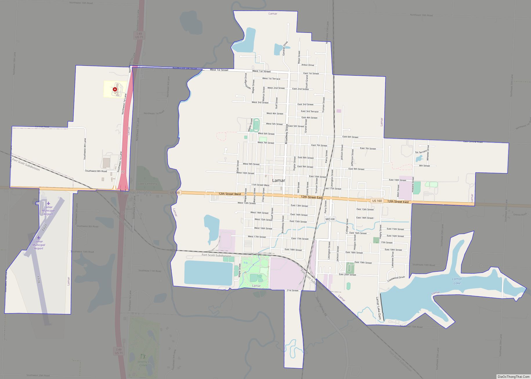
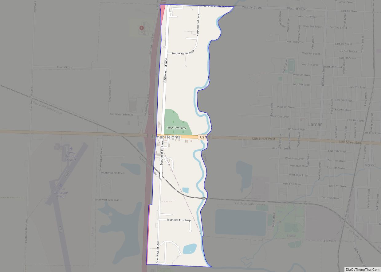
| Largest city: | Lamar |
| Total Area: | 597 sq mi (1,550 km²) |
| Land Area: | 592 sq mi (1,530 km²) |
| Total Population: | 11,637 |
| Population Density: | 19/sq mi (7.5/km²) |
| Time zone: | UTC−6 (Central) |
| Summer Time Zone (DST): | UTC−5 (CDT) |
| Website: | www.bartoncounty.com |
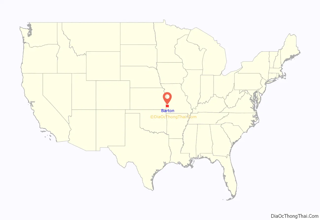
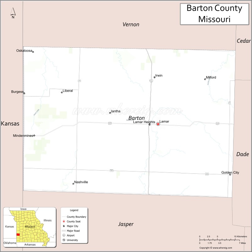
Barton County location map. Where is Barton County?
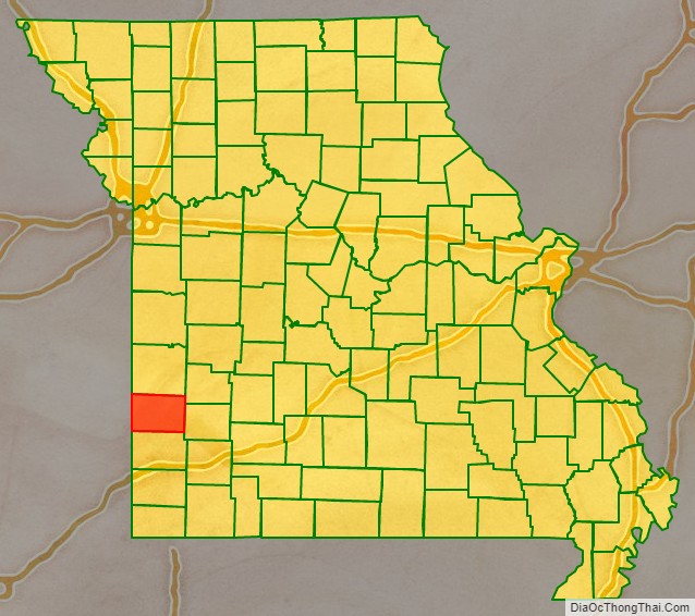
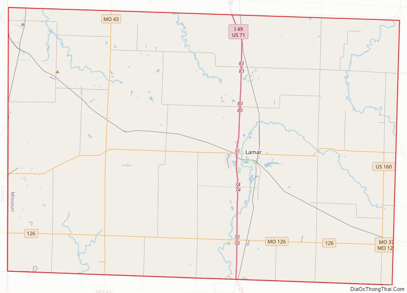
Barton County Road Map
Geography
According to the U.S. Census Bureau, the county has a total area of 597 square miles (1,550 km), of which 592 square miles (1,530 km) is land and 4.8 square miles (12 km) (0.8%) is water.
Adjacent counties
- Vernon County (north)
- Cedar County (northeast)
- Dade County (east)
- Jasper County (south)
- Crawford County, Kansas (west)
Major highways
- Interstate 49
- U.S. Route 71
- U.S. Route 160
- Route 43
- Route 126
Airport
Lamar Municipal Airport (LLU) serves the county and surrounding communities.
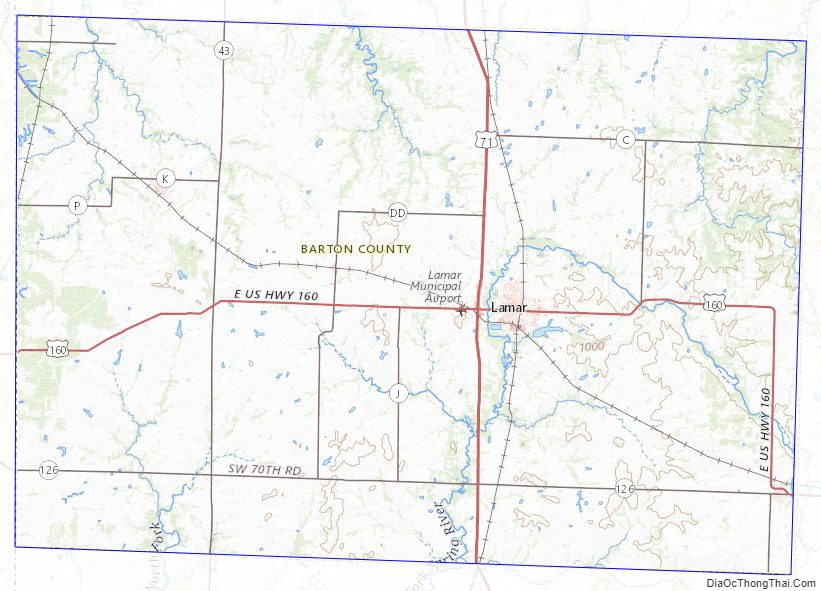
Barton County Topographic Map
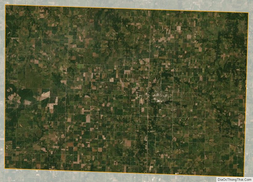
Barton County Satellite Map
Barton County Outline Map