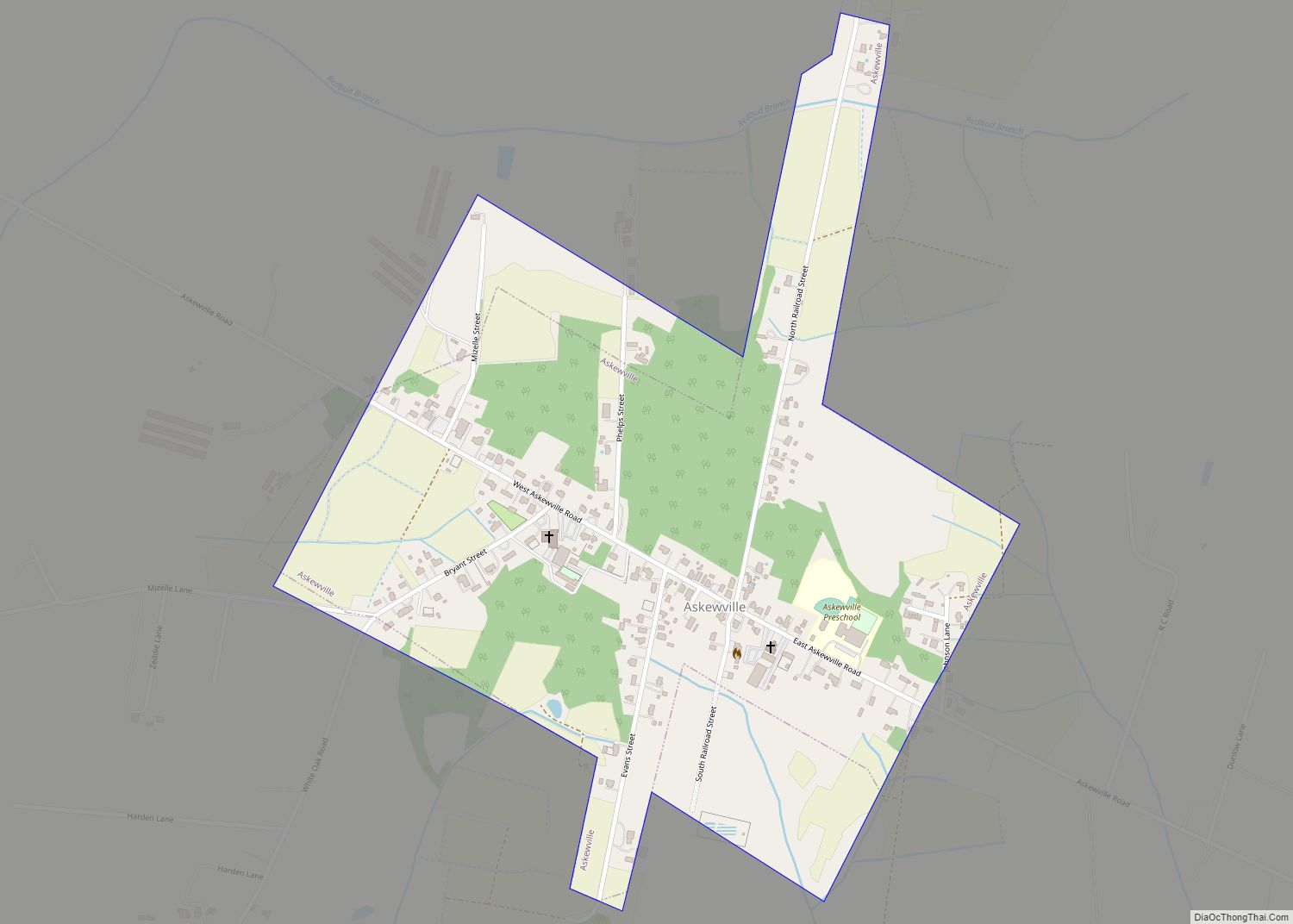
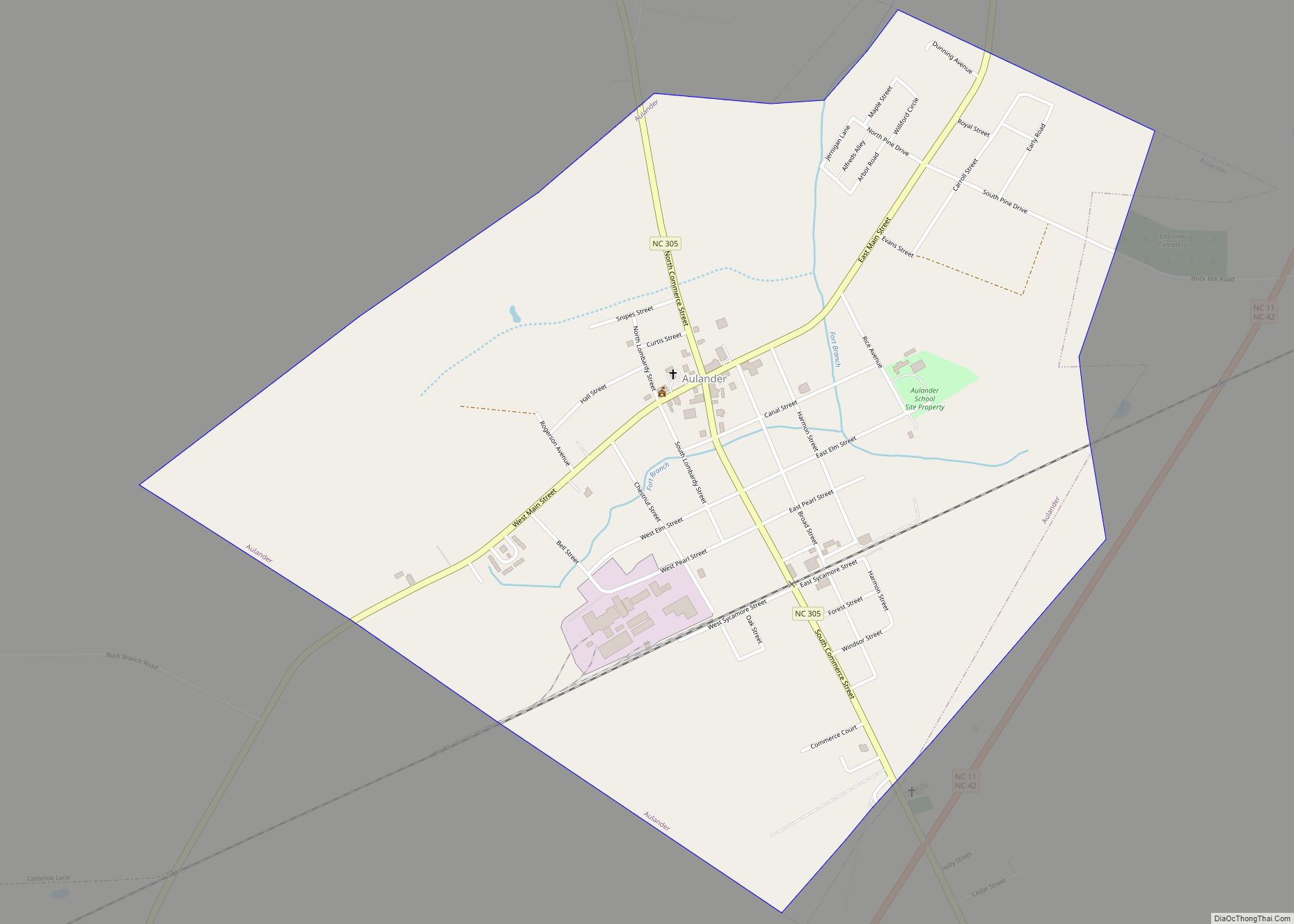
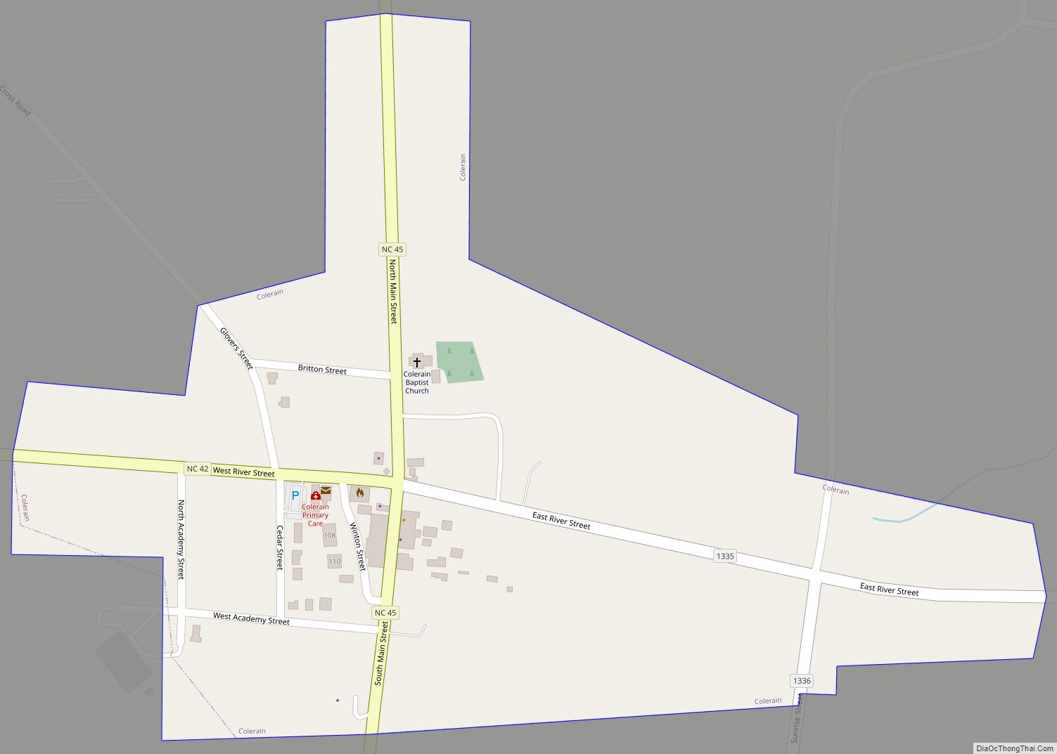
Bertie County (/ˌbɜːrˈtiː/ BUR-TEE, with both syllables stressed) is a county located in the northeast area of the U.S. state of North Carolina. As of the 2020 census, the population was 17,934. Its county seat is Windsor. The county was created in 1722 as Bertie Precinct and gained county status in 1739.
| Name: | Bertie County |
|---|---|
| FIPS code: | 37-015 |
| State: | North Carolina |
| Founded: | 1739 |
| Named for: | James and/or Henry Bertie |
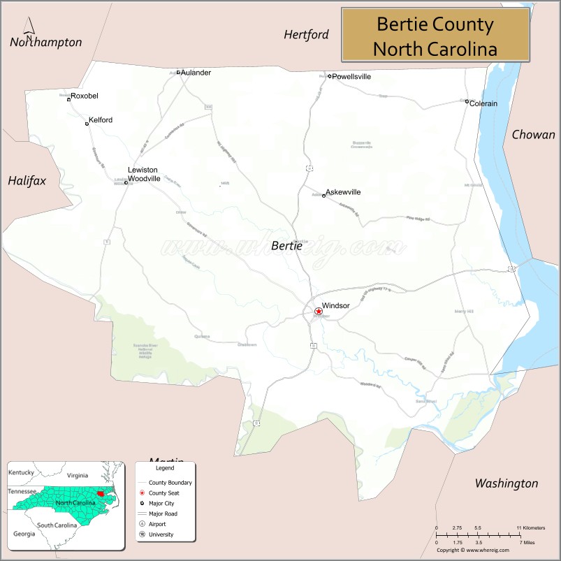
| Seat: | Windsor |
| Largest town: | Windsor |
| Total Area: | 741 sq mi (1,920 km²) |
| Land Area: | 699 sq mi (1,810 km²) |
| Total Population: | 17,505 |
| Population Density: | 30.4/sq mi (11.7/km²) |
| Time zone: | UTC−5 (Eastern) |
| Summer Time Zone (DST): | UTC−4 (EDT) |
| Website: | www.co.bertie.nc.us |
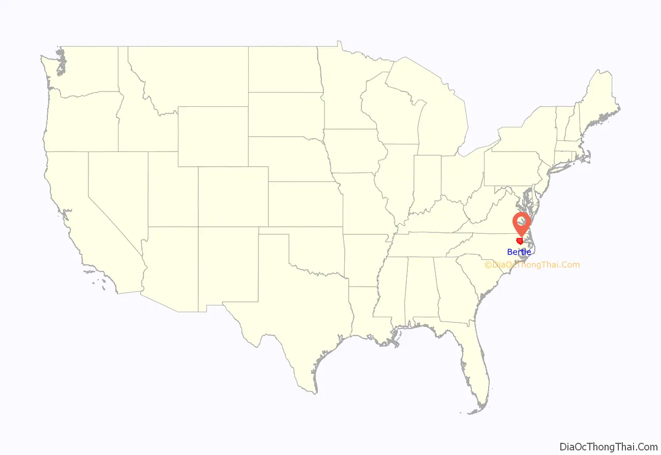
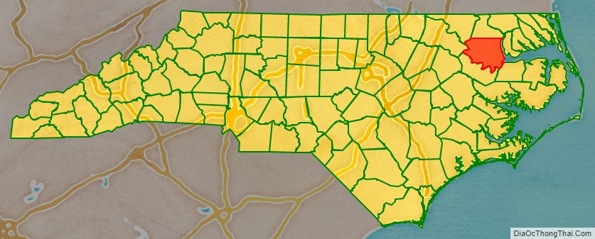
Bertie County location map. Where is Bertie County?
History
The county was formed as Bertie Precinct in 1722 from the part of Chowan Precinct of Albemarle County lying west of the Chowan River. It was named for James Bertie, his brother Henry Bertie, or perhaps both, each having been one of the Lords Proprietors of Carolina.
In 1729 parts of Bertie Precinct, Chowan Precinct, Currituck Precinct, and Pasquotank Precinct of Albemarle County were combined to form Tyrrell Precinct. With the abolition of Albemarle County in 1739, all of its constituent precincts became separate counties. As population of settlers increased, in 1741 parts of Bertie County were organized as Edgecombe County and Northampton County. Finally, in 1759 parts of Bertie, Chowan, and Northampton counties were combined to form Hertford County. Bertie’s boundaries have remained the same since then.
This mostly rural county depended on the agricultural economy well into the 20th century. In the colonial and antebellum eras, tobacco and cotton were the chief commodity crops, worked by African slaves. After the Civil War, agriculture continued to be important to the county. In the 21st century, developers have referred to it as being within the Inner Banks region, which is increasingly attracting retirees and buyers of second homes, because of its beaches and landscapes.
Bertie County Road Map
Geography
According to the U.S. Census Bureau, the county has a total area of 741 square miles (1,920 km), of which 699 square miles (1,810 km) is land and 42 square miles (110 km) (5.7%) is water.
National protected area
- Roanoke River National Wildlife Refuge
State and local protected areas/sites
- Bertie County Game Land
- Historic Hope Plantation
- Jamesville Wildlife Preserve
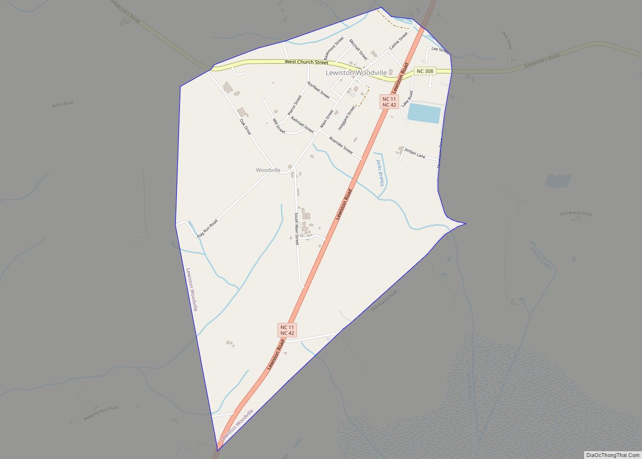
- Lewiston Woodville Preserve
- Salmon Creek State Natural Area
Major water bodies
- Albemarle Sound
- Beaverdam Swamp
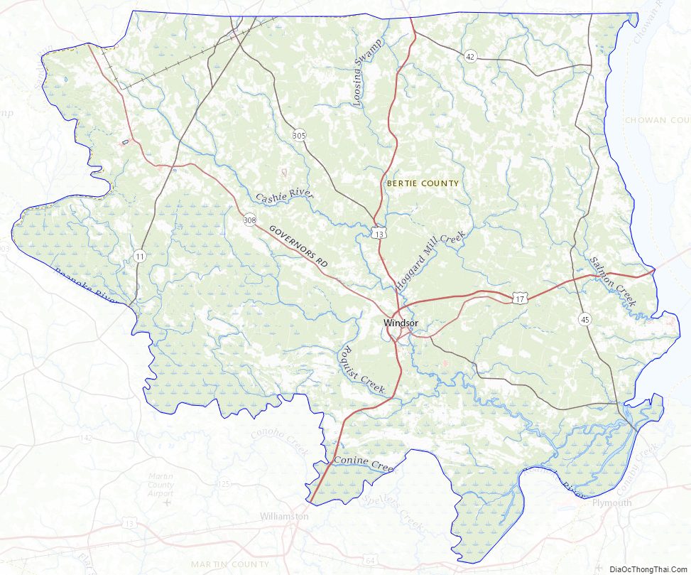
- Cashie River
- Chowan River
- Chinkapin Swamp
- Cucklemaker Creek
- Cypress Swamp
- Falt Swamp Creek
- Hoggard Mill Creek
- Loosing Swamp
- Middle River
- Quioccosin Creek
- Roanoke River
- Stoney Creek
- Wahton Swamp
- Wildcat Swamp
Adjacent counties
- Hertford County – north
- Chowan County – east
- Washington County – southeast
- Martin County – south
- Halifax County – west
- Northampton County – northwest
Major highways
- Future I-87 (Concurrency with US 17)
- US 13
- US 13 Bus.
- US 17
- US 17 Bus.
- US 17 Byp.
- NC 11
- NC 11 Bus.
- NC 42
- NC 45
- NC 305
- NC 308
Major infrastructure
- Sans Souci Ferry, river ferry across the Cashie River
Bertie County Topographic Map
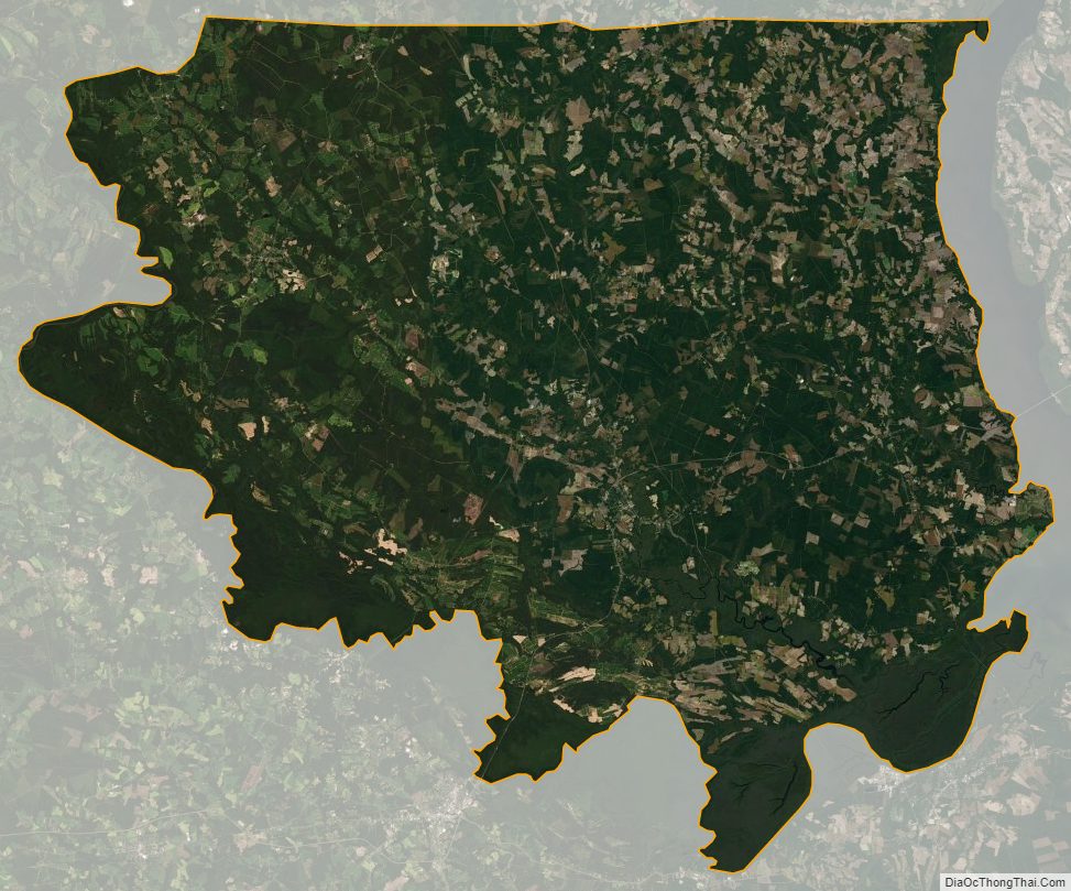
Bertie County Satellite Map
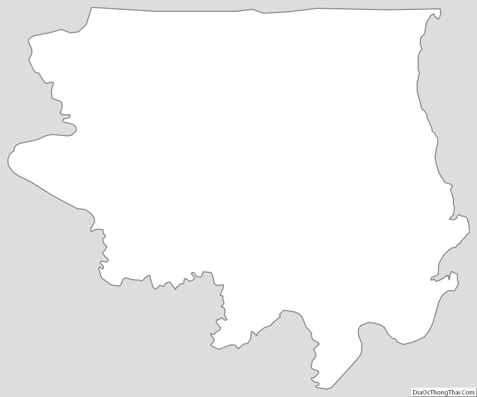
Bertie County Outline Map