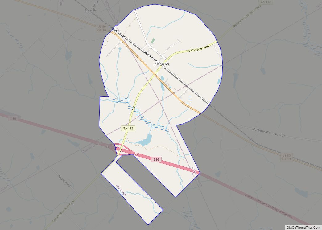
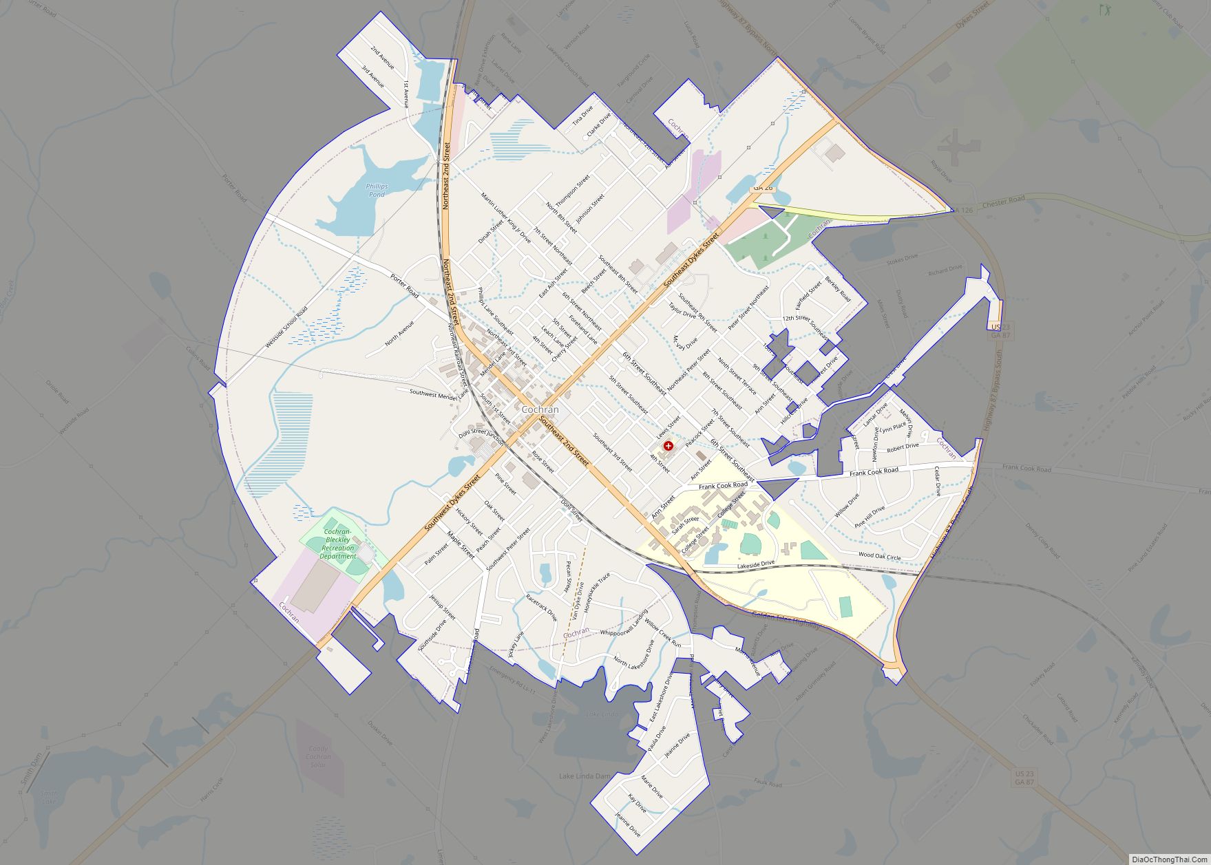
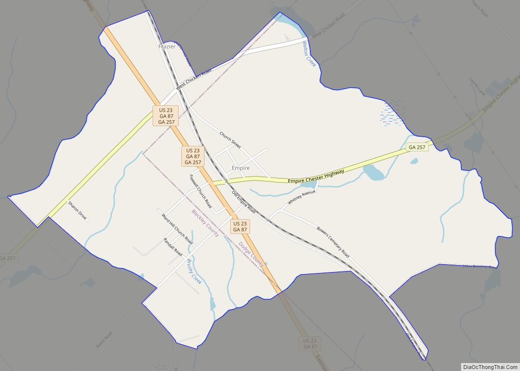
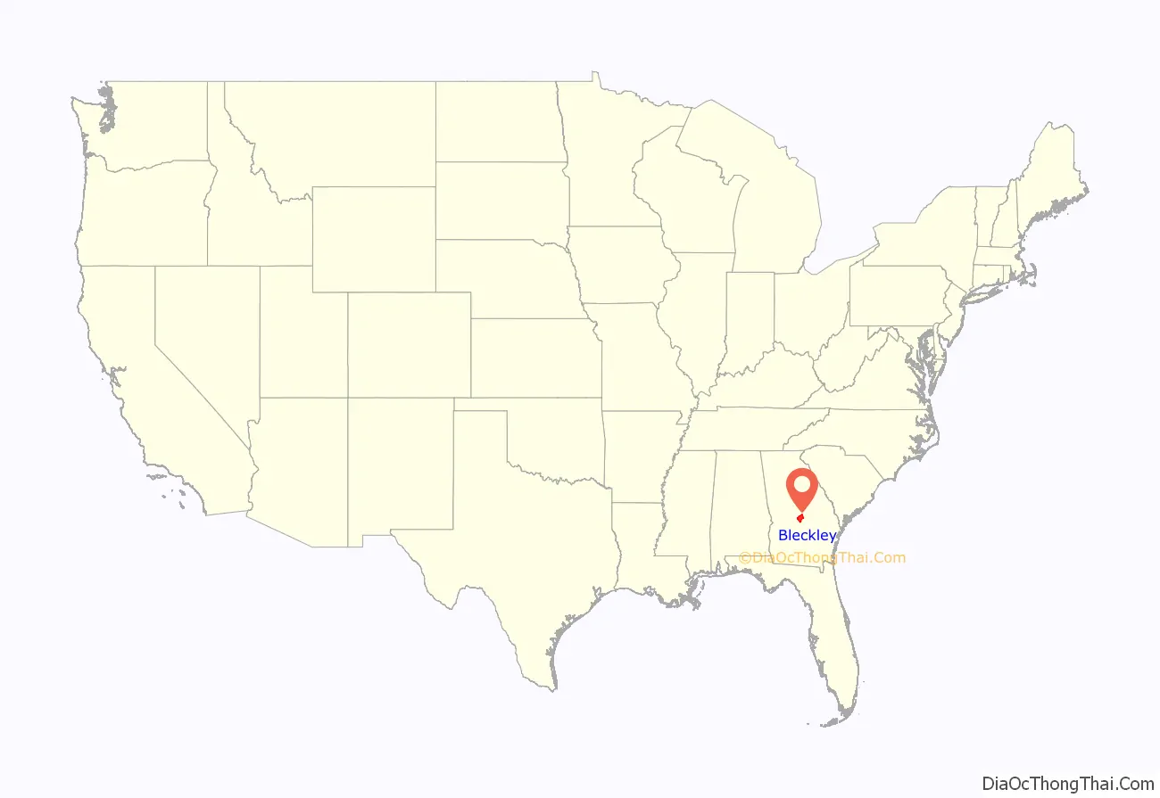
Bleckley County is a county located in the central portion of the U.S. state of Georgia. As of the 2020 census, the population was 12,583. The county seat is Cochran.
| Name: | Bleckley County |
|---|---|
| FIPS code: | 13-023 |
| State: | Georgia |
| Founded: | 1912 |
| Named for: | Logan Edwin Bleckley |
| Seat: | Cochran |
| Largest city: | Cochran |
| Total Area: | 219 sq mi (570 km²) |
| Land Area: | 216 sq mi (560 km²) |
| Total Population: | 12,583 |
| Population Density: | 58/sq mi (22/km²) |
| Time zone: | UTC−5 (Eastern) |
| Summer Time Zone (DST): | UTC−4 (EDT) |
| Website: | www.bleckley.org/index.asp |
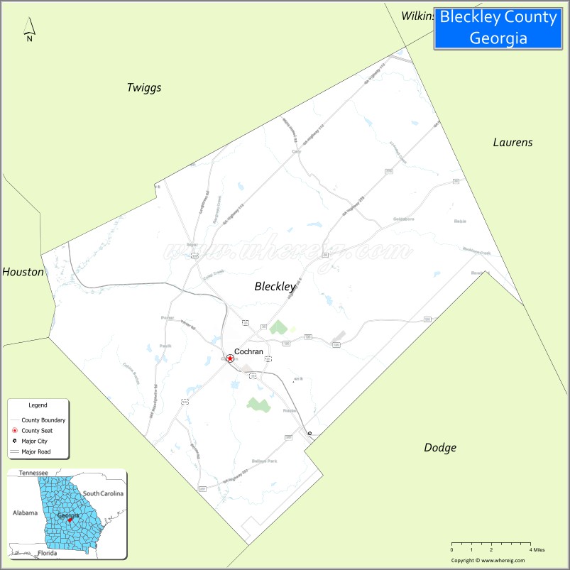
Bleckley County location map. Where is Bleckley County?

History
The county was named for Logan Edwin Bleckley, a soldier and Justice of the Supreme Court of Georgia. The state constitutional amendment to create the county was proposed by the Georgia General Assembly on July 30, 1912, and ratified November 5, 1912. Bleckley County was formerly home to Middle Georgia College, the oldest two-year public college in the nation. In 2013 it merged with Macon State College to become Middle Georgia State University.
Bleckley County High School made news in March 2010 for allowing a same-sex couple to attend its senior prom, after another same-sex couple in Mississippi were denied attendance at another senior prom.
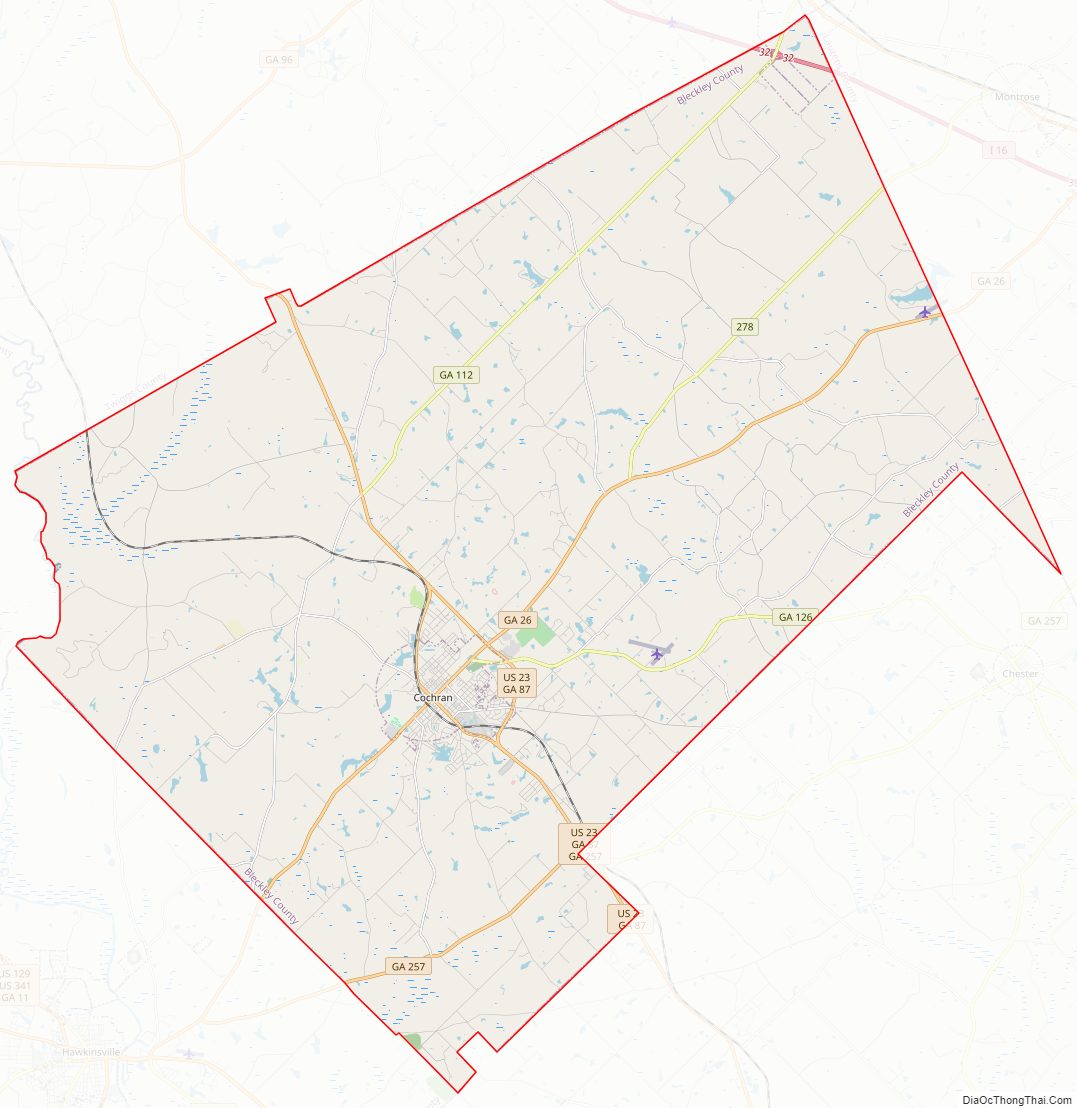
Bleckley County Road Map
Geography
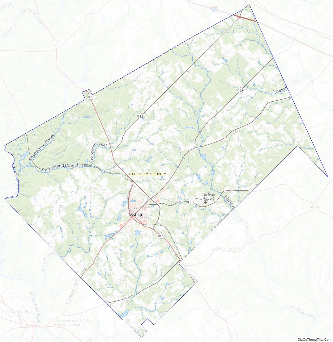
According to the U.S. Census Bureau, the county has a total area of 219 square miles (570 km), of which 216 square miles (560 km) is land and 3.3 square miles (8.5 km) (1.5%) is water. The county is located in the upper Atlantic coastal plain region of the state.
The eastern quarter of Bleckley County, roughly in a line from west of Danville running southeast, is located in the Lower Oconee River sub-basin of the Altamaha River basin. The central quarter of the county, between Cochran and the previous line, is located in the Little Ocmulgee River sub-basin of the same Altamaha River basin. The western half of the county, west of Cochran, is located in the Lower Ocmulgee River sub-basin of the same larger Altamaha River basin.
Major highways
- Interstate 16
- U.S. Route 23
- U.S. Route 23 Business
- U.S. Route 129 Alternate
- State Route 26
- State Route 87
- State Route 87 Business
- State Route 112
- State Route 126
- State Route 257
- State Route 278
- State Route 404 (unsigned designation of I-16)
Adjacent counties
- Wilkinson County – north
- Twiggs County – north
- Laurens County – east
- Dodge County – southeast
- Pulaski County – southwest
- Houston County – west
Bleckley County Topographic Map
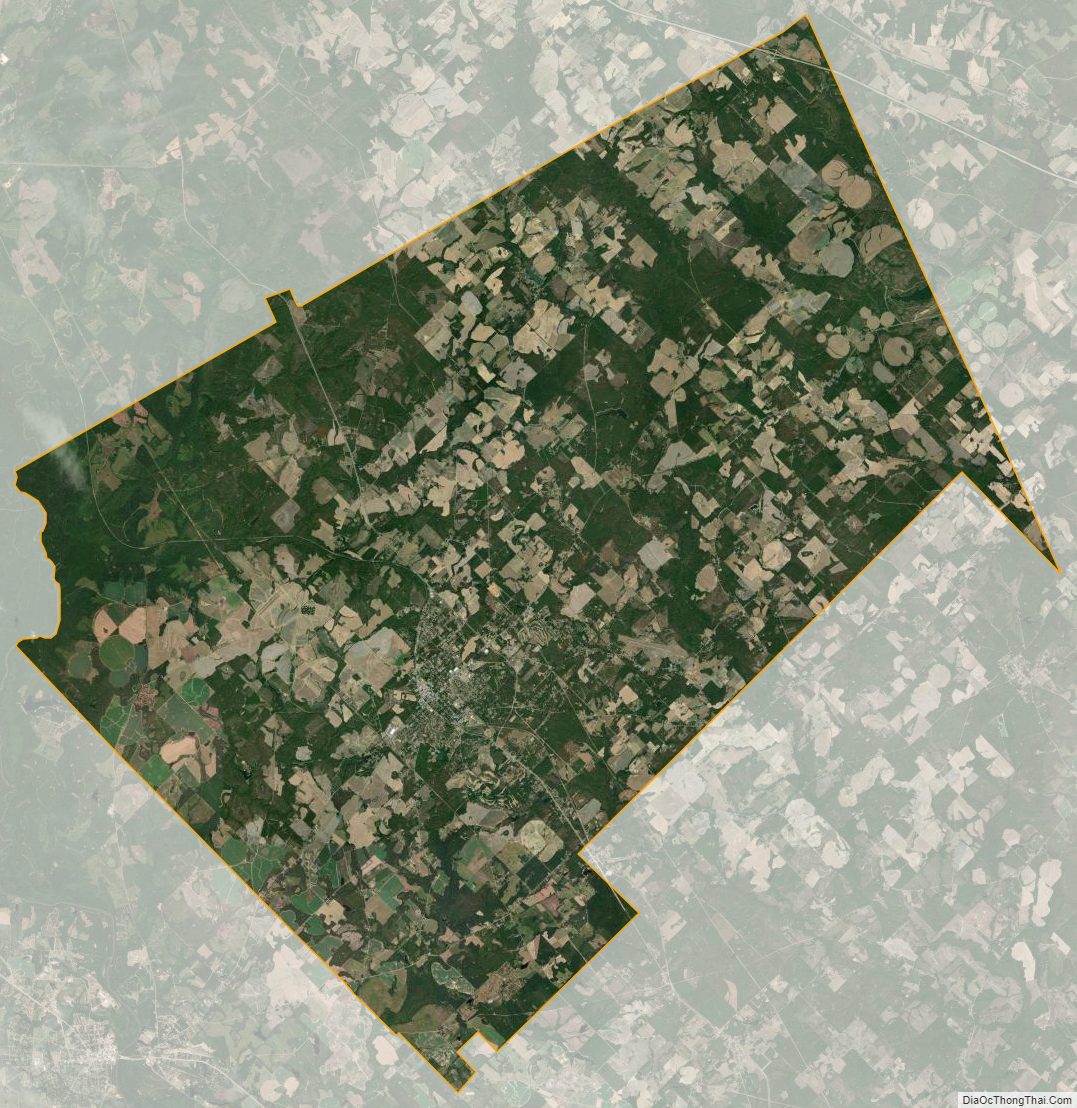
Bleckley County Satellite Map
Bleckley County Outline Map