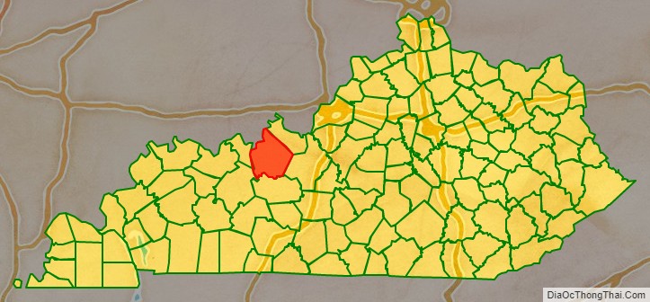
Breckinridge County is a county located in the Commonwealth of Kentucky. As of the 2020 census, the population was 20,432. Its county seat is Hardinsburg, Kentucky. The county was named for John Breckinridge (1760–1806), a Kentucky Attorney General, state legislator, United States Senator, and United States Attorney General. It was the 38th Kentucky county in order of formation. Breckinridge County is now a wet county, following a local option election on January 29, 2013, but it had been a dry county for the previous 105 years.
| Name: | Breckinridge County |
|---|---|
| FIPS code: | 21-027 |
| State: | Kentucky |
| Founded: | 1799 |
| Named for: | John Breckinridge |
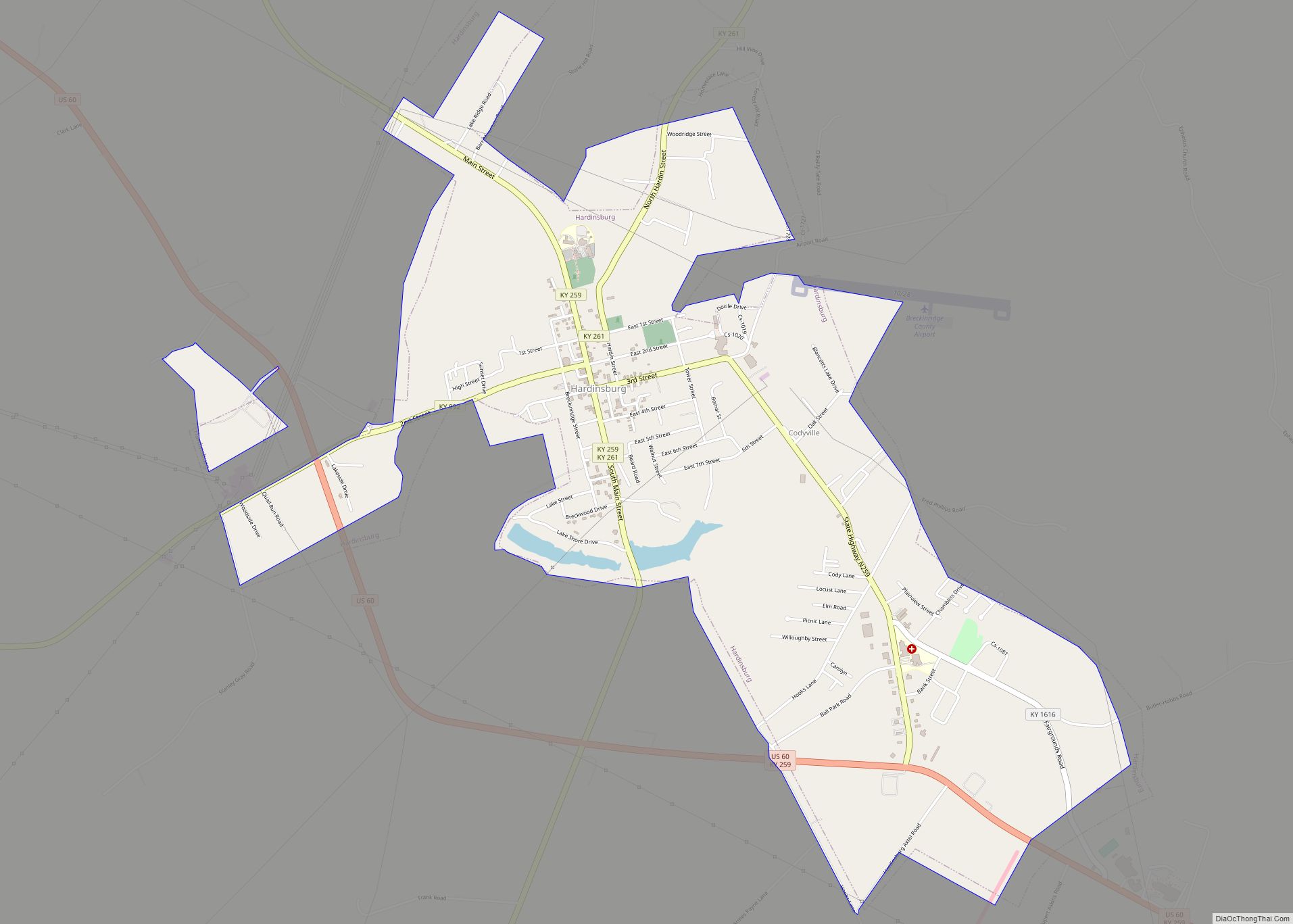
| Seat: | Hardinsburg |
| Largest city: | Hardinsburg |
| Total Area: | 586 sq mi (1,520 km²) |
| Land Area: | 567 sq mi (1,470 km²) |
| Total Population: | 20,432 |
| Population Density: | 35/sq mi (13/km²) |
| Time zone: | UTC−6 (Central) |
| Summer Time Zone (DST): | UTC−5 (CDT) |
| Website: | www.breckinridgecounty.net |
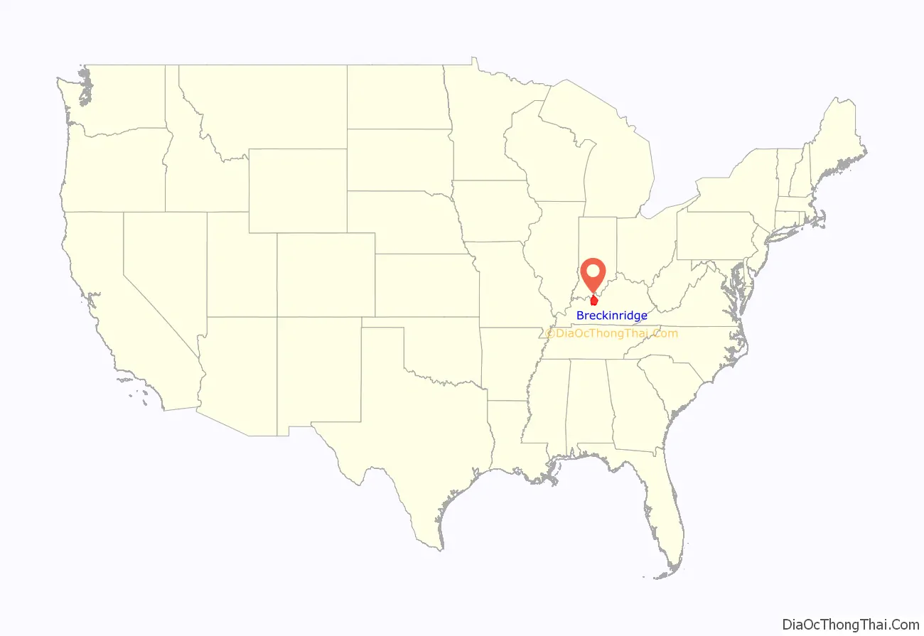
Breckinridge County location map. Where is Breckinridge County?
History
The area presently bounded by Kentucky state lines was a part of the U.S. State of Virginia, known as Kentucky County when the British colonies separated themselves in the American Revolutionary War. In 1780, the Virginia legislature divided the previous Kentucky County into three smaller units: Fayette, Jefferson, and Lincoln. In 1791, this area was separated into the State of Kentucky; it became effective on June 1, 1792. From that time, the original three counties were divided several times. A portion of Jefferson County was split off as Nelson County in 1784; a portion of Nelson was split off as Hardin County in 1792; the present Breckinridge County was split off from Hardin in 1799.
In August 1779, Sinclair Hardin (first cousin of Captain William Hardin, the founder of Hardin’s Fort), was killed by Shawnee Indians while taking a drink at Big Springs. He was the first white settler in Breckinridge County to be killed by Native Americans. The Indian threat continued for several years. However, the only sizable expedition against the Native Americans that Breckinridge County settlers took part in culminated in the Battle of Saline Creek in August 1786, in Illinois. The battle only lasted a few minutes, with fierce hand-to-hand combat. Between 18 and 30 Shawnee warriors were killed, with six more wounded. The remainder of the Shawnee fled. Captain William Hardin had commanded the Kentucky volunteers, many of whom also were killed or wounded. Hardin’s militia brought home 16 Shawnee scalps, nine captured horses, 17 muskets, and “a mighty nice sword”.
The Judge-Executive of Breckinridge County from 1801 to 1805 was William Comstock. Jo Allen was the county clerk, and Ben Huff was the sheriff.
During the American Civil War, raiding Kentucky Confederate cavalry burned the courthouse, as it was being used by Union troops as a barracks, though most of the records were saved. On March 12, 1865, Jerome Clarke, a well known Confederate guerrilla, claimed by some to have been Sue Munday, was captured near the Breckinridge–Meade County line. He was hanged three days later in Louisville. Afterward, his trial drew heavy criticism.
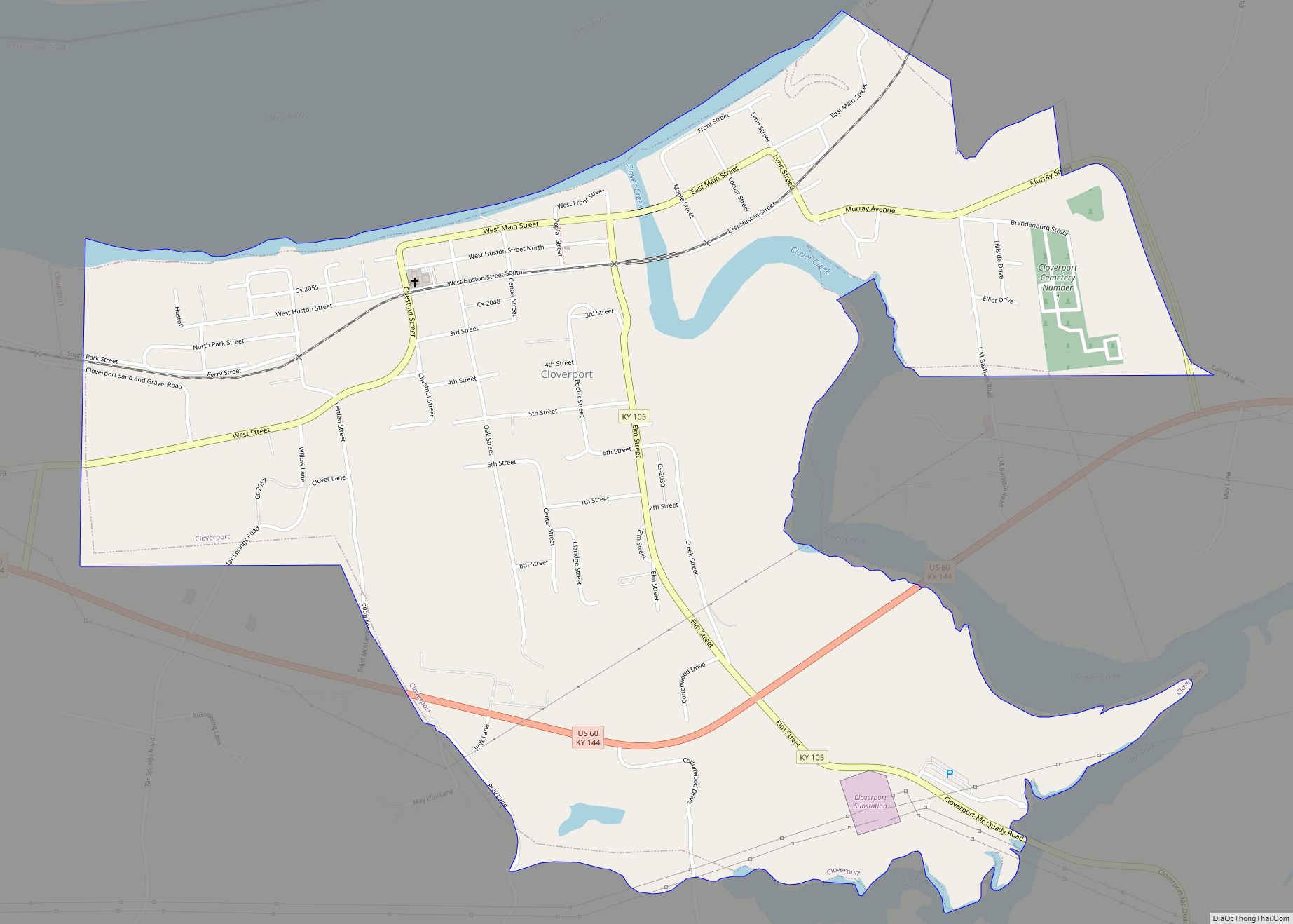
During the nineteenth century, the Victoria Coal Mines, named in honor of British Queen Victoria, were the first to produce coal oil, and Cloverport exported it to Great Britain, where it was used to light Buckingham Palace.
United States Supreme Court Justice Wiley Blount Rutledge Jr., who served on the High Court from 1943 to 1949, was born at Tar Springs in 1894, when his father was pastor of Cloverport Baptist Church.
On June 6, 1932, at Hardinsburg, Sam Jennings became the penultimate person to be publicly executed in the United States.
In the 1950s, Rough River Dam State Resort Park was developed at the southern border of the county.
A third courthouse fire nearly destroyed county records in 1958.
Breckinridge County High School won the 1965 and 1995 Kentucky High School Athletic Association’s Boys’ Basketball tournaments.
The Breckinridge County Archives, formed in 1984, was the first state-funded archival repository in the history of the United States and is known across the nation as an excellent resource for genealogical and historical research.
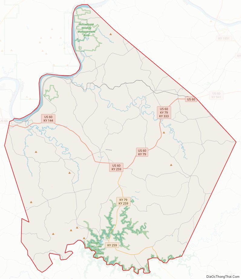
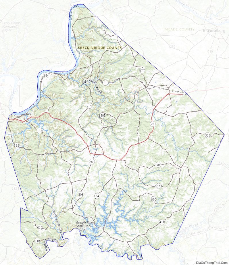
Breckinridge County Road Map
Geography
According to the United States Census Bureau, the county has a total area of 586 square miles (1,520 km), of which 567 square miles (1,470 km) is land and 18 square miles (47 km) (3.2%) is water.
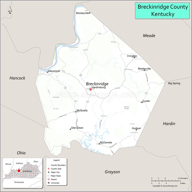
Adjacent counties
- Perry County, Indiana (northwest)
- Meade County (northeast/EST Border)
- Hardin County (east/EST Border)
- Grayson County (south)
- Ohio County (southwest)
- Hancock County (west)
Breckinridge County Topographic Map
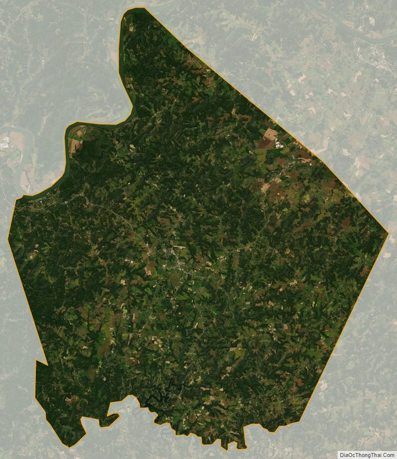
Breckinridge County Satellite Map
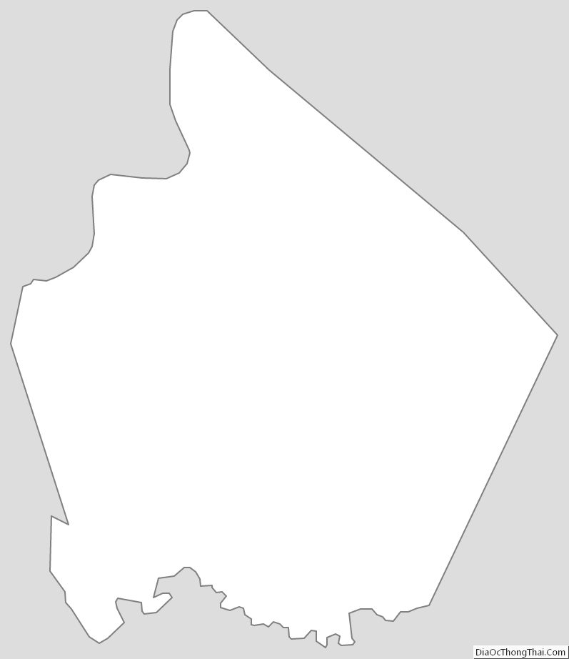
Breckinridge County Outline Map