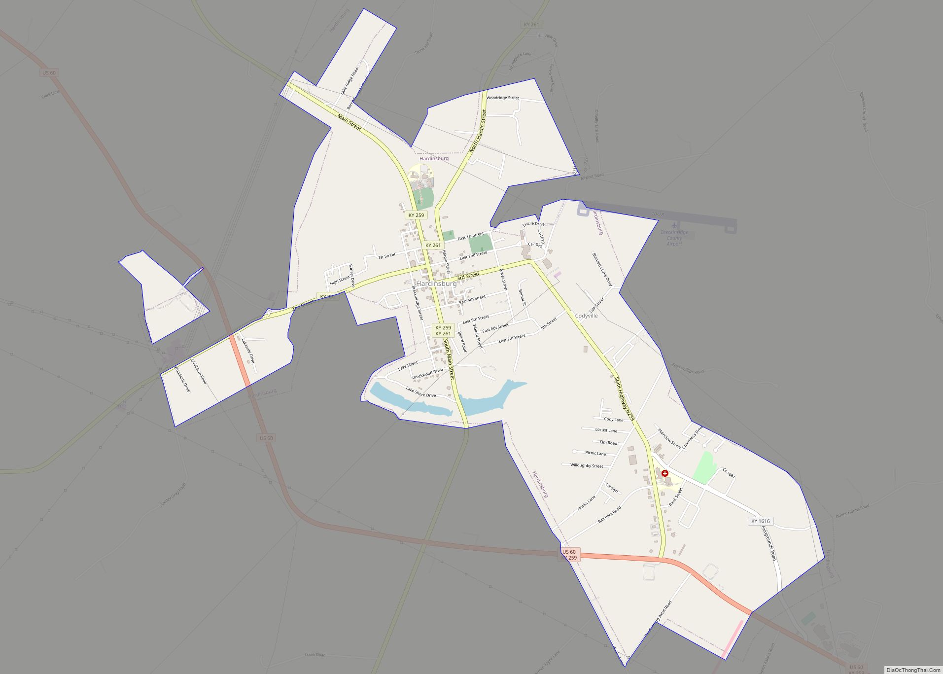
Hardinsburg is a home rule-class city in Breckinridge County, Kentucky, in the United States. It is the seat of its county. The population was 2,343 at the 2010 census. Hardinsburg was named after Captain William Hardin.
| Name: | Hardinsburg city |
|---|---|
| LSAD Code: | 25 |
| LSAD Description: | city (suffix) |
| State: | Kentucky |
| County: | Breckinridge County |
| Founded: | 1780 |
| Incorporated: | 1890 |
| Elevation: | 709 ft (216 m) |
| Total Area: | 3.54 sq mi (9.17 km²) |
| Land Area: | 3.46 sq mi (8.96 km²) |
| Water Area: | 0.08 sq mi (0.21 km²) |
| Total Population: | 2,385 |
| Population Density: | 689.71/sq mi (266.29/km²) |
| ZIP code: | 40143 |
| Area code: | 270 & 364 |
| FIPS code: | 2134552 |
| GNISfeature ID: | 0493730 |
| Website: | hardinsburg.ky.gov |
Online Interactive Map
Click on ![]() to view map in "full screen" mode.
to view map in "full screen" mode.
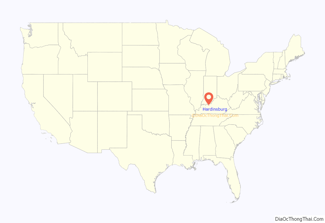
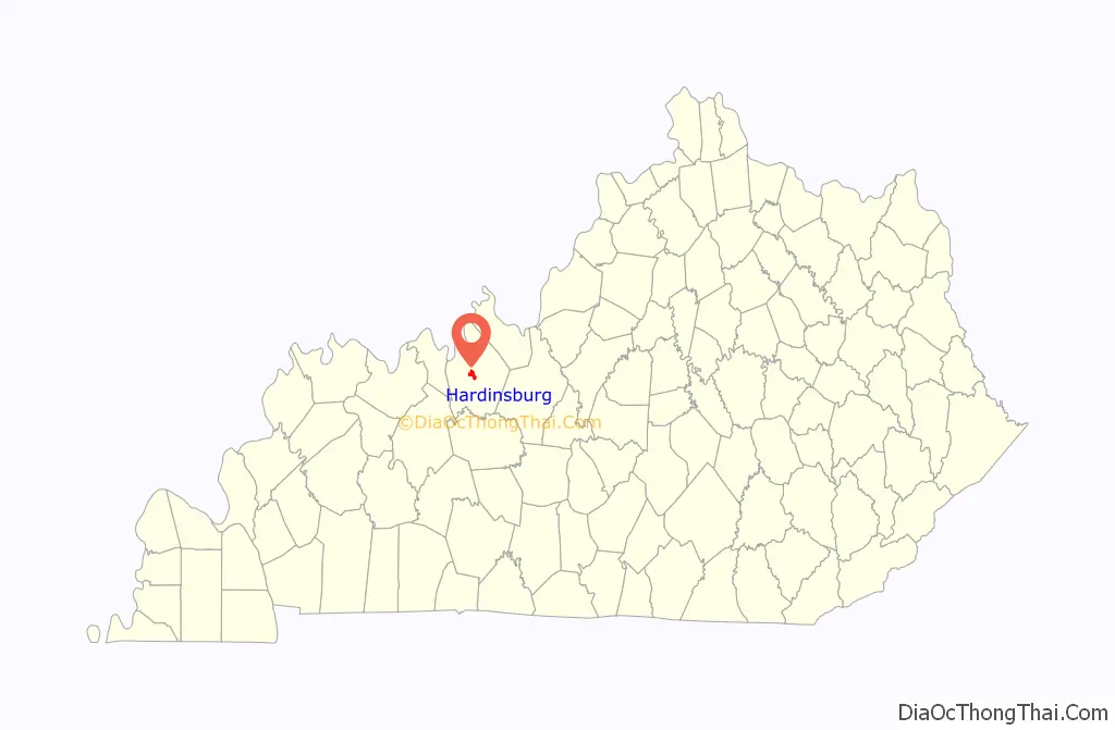
Hardinsburg location map. Where is Hardinsburg city?
History
In August 1779, Sinclair Hardin, William’s cousin, was the first man killed (by the Shawnee) west of the Alleghenies Mountains at Big Springs during an early excursion into the Kentucky wilderness.
Capt. William Hardin, brother of the Col. John Hardin for whom Hardin County was named, established a frontier fort at the site in 1780. The settlement was known variously as Hardin’s Fort and Hardin’s Station in the 18th century.
William Hardin received 400 acres as assignee of Benjamin Hardin, Warrant# 2586, dated February 14, 1780, and the tract was surveyed June 8, 1784. According to the description, the land was on Hardin’s Creek, a branch of the Ohio River, and it was formally granted on June 21, 1786. This area would become Hardinsburg.
Hardinsburg was laid out in 1782 by William Hardin. It is small and its growth has been slow, having failed to number a thousand inhabitants in its first hundred years. Among its early and prominent citizens were Joseph Allen, Captain Thomas Kincheloe, Reverend James Taylor, Philip Lightfoot, Morris Hensly, Charles Hambleton, William Feaman, B and RM Wathen, John McClarty, William Morton, Stanley Singleton, James and Williamson Cox, William Seaton, Francis Peyton, Joseph Thomas, Thornton Smith, Jefferson Jennings and Dr. S.B. Abel. When Judge Kincheloe, Colonel Alf. Allen, Mr. Vivian Daniel, Rev. RG Gardner and Squire Eskridge die, the “old guard” will have become extinct.
William Hardin received grants from the state of Virginia in 1785 for 3800 acres of land, all near the present site of Hardinsburg, Kentucky.
The murder and scalping of young James Jolly was the second colonizer to be murdered by native Kentuckians at Hardin’s Fort. James was the son of Nelson Jolly, Jr., the progenitor of the Jolly family of present-day Breckinridge County. At seventeen years of age, and newly arrived at the fort, James went alone to bring in the horses which were grazing along Clover Creek, a few hundred yards from its palisaded walls. When he did not return, a scouting party eventually found his mutilated body. James Jolly was the first person to die at Hardin’s Station and the first to be buried under a hickory tree near the banks of Clover Creek, where, both his father and William Hardin were buried when they died.
Hardinsburg was established in 1800 as the seat of government for the newly established Breckinridge County. The first courthouse was a log house built in 1801. Jack Hardin’s family book states family members laid out the town without compass or chain in the Fall of 1781; their only instruments were a vine and ax. Its post office was established on January 1, 1803, as Breckinridge Court House or Hardinburg.
In 1810, a Roman Catholic church was founded. Originally named St. Rumoldus (St. Rumbold) after the Cathedral in Mechelen, Belgium, the name was later changed to St. Romuald.
A Methodist congregation was formed in 1828.
In 1887, a group met at the courthouse and started the Baptist church for the town.
The city was formally incorporated by the state assembly on May 3, 1890.
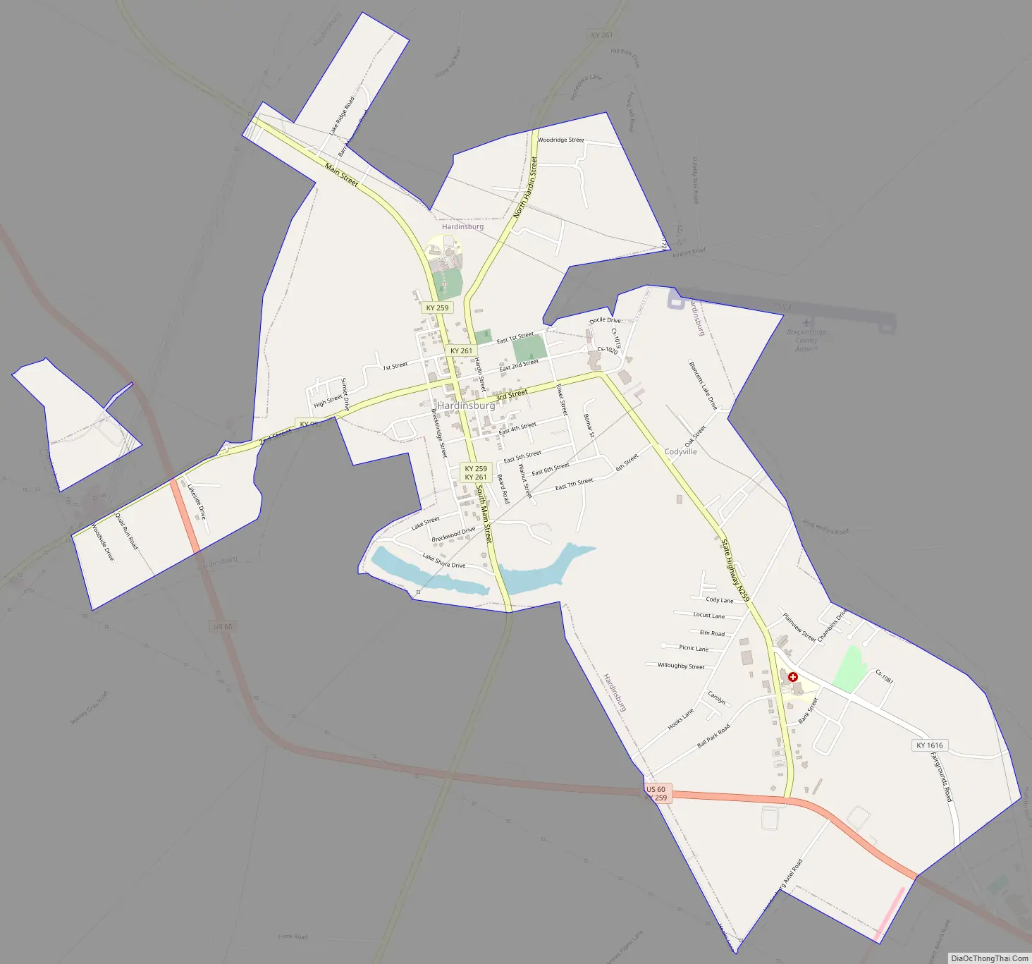
Hardinsburg Road Map
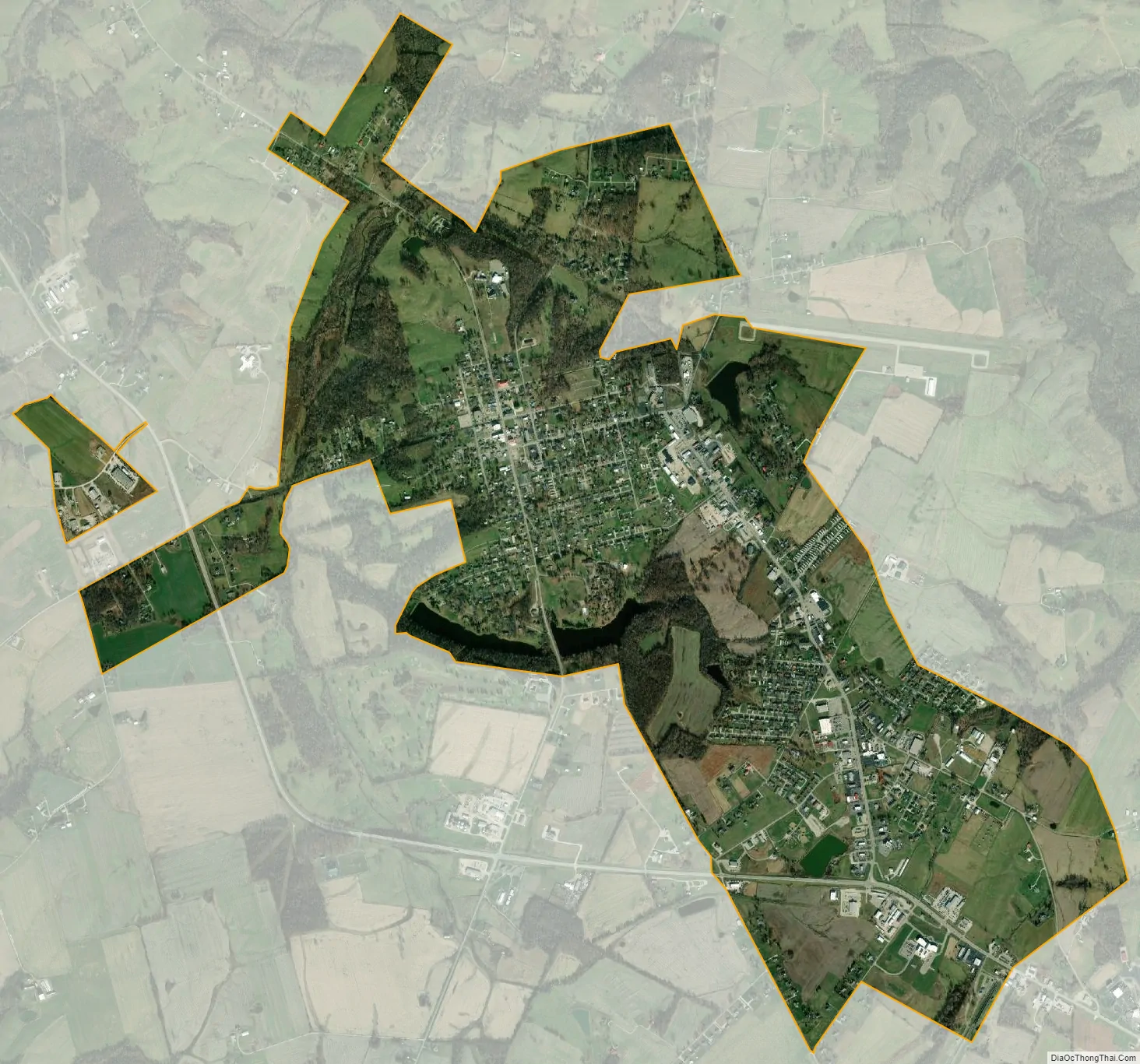
Hardinsburg city Satellite Map
Geography
Hardinsburg is located at 37°46′35″N 86°27′18″W / 37.77639°N 86.45500°W / 37.77639; -86.45500 (37.776336, −86.455010).
According to the United States Census Bureau, the city has a total area of 3.6 square miles (9.2 km), of which 3.4 square miles (8.9 km) is land and 0.04 square miles (0.1 km), or 2.34%, is water.
See also
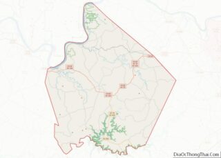
Map of Kentucky State and its subdivision:- Adair
- Allen
- Anderson
- Ballard
- Barren
- Bath
- Bell
- Boone
- Bourbon
- Boyd
- Boyle
- Bracken
- Breathitt
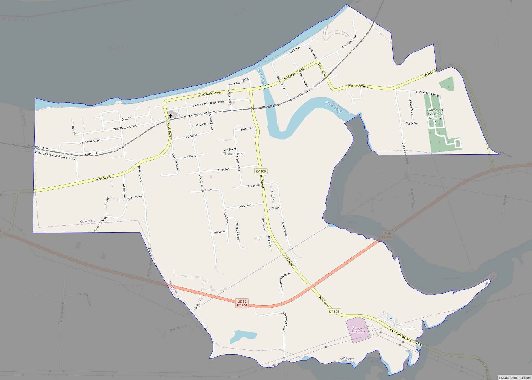
- Breckinridge
- Bullitt
- Butler
- Caldwell
- Calloway
- Campbell
- Carlisle
- Carroll
- Carter
- Casey
- Christian
- Clark
- Clay
- Clinton
- Crittenden
- Cumberland
- Daviess
- Edmonson
- Elliott
- Estill
- Fayette
- Fleming
- Floyd
- Franklin
- Fulton
- Gallatin
- Garrard
- Grant
- Graves
- Grayson
- Green
- Greenup
- Hancock
- Hardin
- Harlan
- Harrison
- Hart
- Henderson
- Henry
- Hickman
- Hopkins
- Jackson
- Jefferson
- Jessamine
- Johnson
- Kenton
- Knott
- Knox
- Larue
- Laurel
- Lawrence
- Lee
- Leslie
- Letcher
- Lewis
- Lincoln
- Livingston
- Logan
- Lyon
- Madison
- Magoffin
- Marion
- Marshall
- Martin
- Mason
- McCracken
- McCreary
- McLean
- Meade
- Menifee
- Mercer
- Metcalfe
- Monroe
- Montgomery
- Morgan
- Muhlenberg
- Nelson
- Nicholas
- Ohio
- Oldham
- Owen
- Owsley
- Pendleton
- Perry
- Pike
- Powell
- Pulaski
- Robertson
- Rockcastle
- Rowan
- Russell
- Scott
- Shelby
- Simpson
- Spencer
- Taylor
- Todd
- Trigg
- Trimble
- Union
- Warren
- Washington
- Wayne
- Webster
- Whitley
- Wolfe
- Woodford
- Alabama
- Alaska
- Arizona
- Arkansas
- California
- Colorado
- Connecticut
- Delaware
- District of Columbia
- Florida
- Georgia
- Hawaii
- Idaho
- Illinois
- Indiana
- Iowa
- Kansas
- Kentucky
- Louisiana
- Maine
- Maryland
- Massachusetts
- Michigan
- Minnesota
- Mississippi
- Missouri
- Montana
- Nebraska
- Nevada
- New Hampshire
- New Jersey
- New Mexico
- New York
- North Carolina
- North Dakota
- Ohio
- Oklahoma
- Oregon
- Pennsylvania
- Rhode Island
- South Carolina
- South Dakota
- Tennessee
- Texas
- Utah
- Vermont
- Virginia
- Washington
- West Virginia
- Wisconsin
- Wyoming