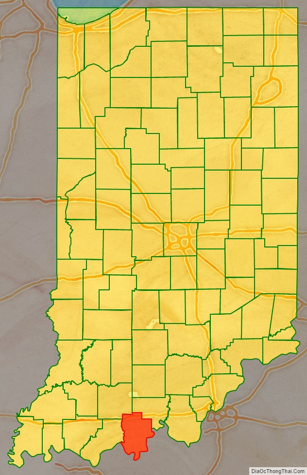
Perry County is a county located in the southwestern part of the U.S. state of Indiana. As of 2010, the population was 19,338. The county seat is Tell City. It is the hilliest county as well as one of the most forested counties in Indiana as it features more than 60,000 acres (240 km) of Hoosier National Forest. The Ohio River Scenic Byway along Indiana State Road 66 runs along the southern border of the county while Interstate 64 traverses the northern portion of the county. Connecting the two is Indiana State Road 37.
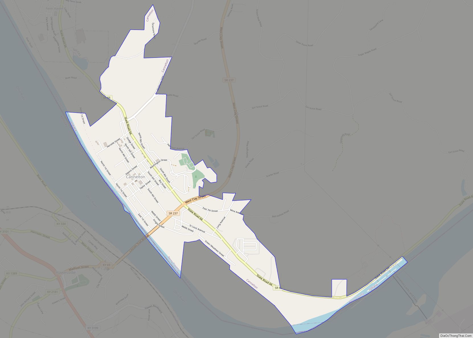
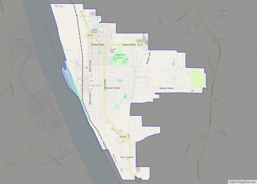
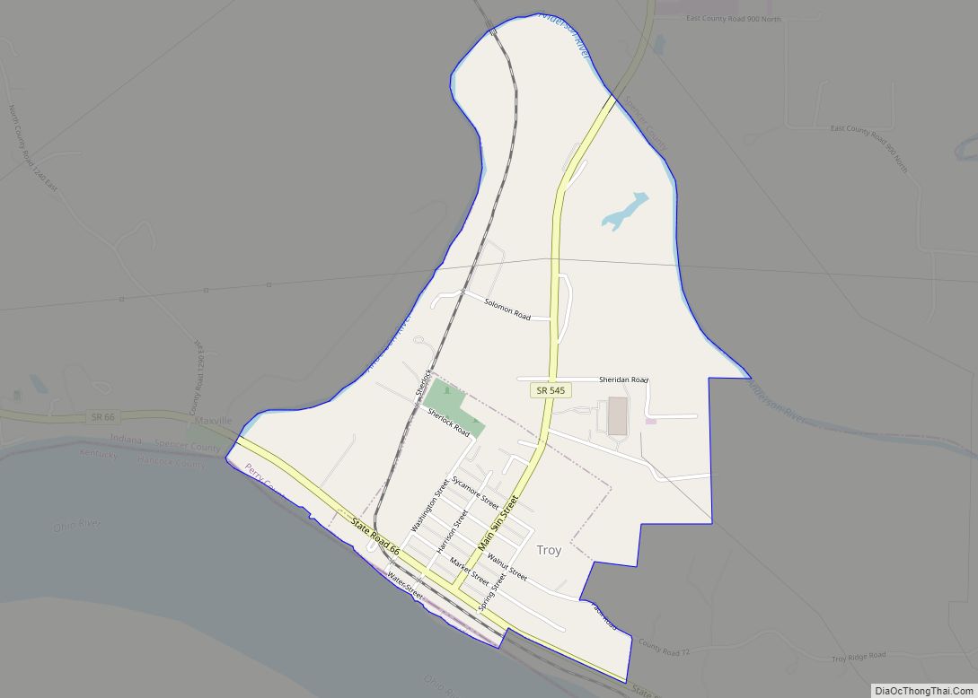
The county features three incorporated communities: Tell City (2009 population 7,473), Cannelton (2009 population 1,130) and Troy (2009 population 379). Each is located in Troy Township which is situated along the south western corner of the county.
Coordinated efforts with County officials led to the acquisition of an abandoned rail line that has since been reactivated as the County-owned Hoosier Southern Rail Road. Managed by the Perry County Port Authority, the 22-mile (35 km) short-line rail road connects the Perry County River Port with the Norfolk Southern Rail Road.
| Name: | Perry County |
|---|---|
| FIPS code: | 18-123 |
| State: | Indiana |
| Founded: | November 1, 1814 |
| Named for: | Oliver Hazard Perry |
| Seat: | Tell City |
| Largest city: | Tell City |
| Total Area: | 386.29 sq mi (1,000.5 km²) |
| Land Area: | 381.73 sq mi (988.7 km²) |
| Total Population: | 19,102 |
| Population Density: | 51/sq mi (19.58/km²) |
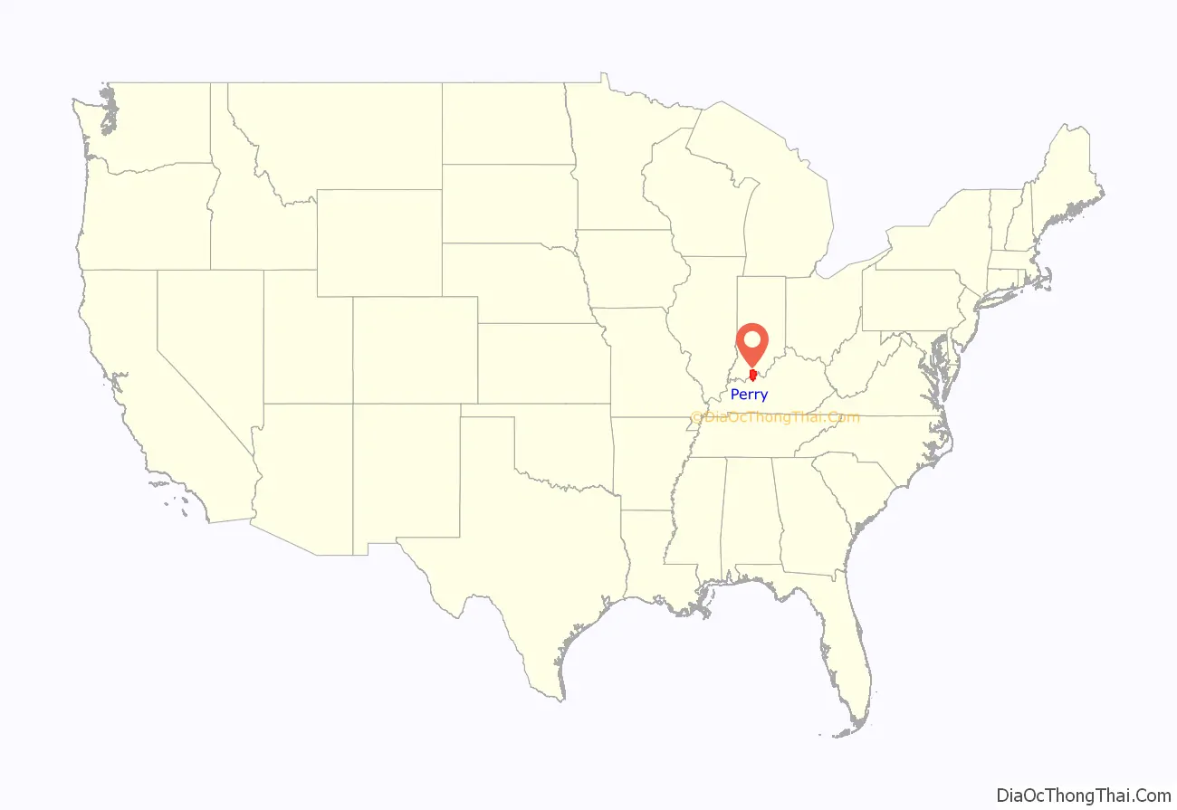
Perry County location map. Where is Perry County?
History
Perry County was formed on November 1, 1814 (two years before the state of Indiana was admitted to the Union) from Warrick and Gibson Counties. It was named for Commodore Oliver Hazard Perry who defeated the British squadron in the decisive Battle of Lake Erie in 1813. The Ohio River made Perry County a focal point and settlers were drawn here due to plentiful supplies of natural resources and the area’s scenic beauty.
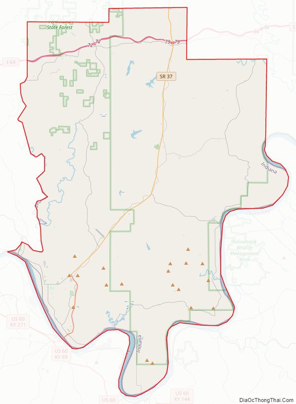
Perry County Road Map
Geography
According to the 2010 census, the county has a total area of 386.29 square miles (1,000.5 km), of which 381.73 square miles (988.7 km) (or 98.82%) is land and 4.56 square miles (11.8 km) (or 1.18%) is water.
Adjacent counties
- Crawford County (north/ET Border)
- Spencer County (west)
- Dubois County (northwest/ET Border)
- Meade County (southeast/ET Border)
- Breckinridge County, Kentucky (South)
- Hancock County, Kentucky (Southwest)
Major highways
- Interstate 64
- Indiana State Road 37
- Indiana State Road 62
- Indiana State Road 66
- Indiana State Road 70
- Indiana State Road 145
- Indiana State Road 166
- Indiana State Road 545
National protected area
- Hoosier National Forest (part)
Roads and highways
Interstate 64 cuts across the northern portion of the county. State Road 66, designated as the Ohio River Scenic Byway for most of its course in the county, is the most heavily traveled road by residents and visitors alike, adjacent to the three most populous towns in the county as well as most major tourist destinations. State Road 37 connects the county to Bloomington and Indianapolis. Other state roads in the county include State Road 62, which closely parallels I-64; State Road 145, which winds through the western parts of the county; State Road 166, which is little more than a road to and from the hamlet of Tobinsport; State Road 237, which connects Cannelton directly to State Road 37 (also the site of a bridge on the Ohio River); a short run of State Road 545 near Troy; and State Road 70 which connects State Road 37 with State Road 66.
Perry County Topographic Map
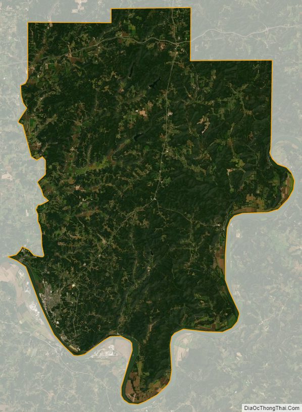
Perry County Satellite Map
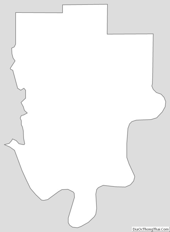
Perry County Outline Map