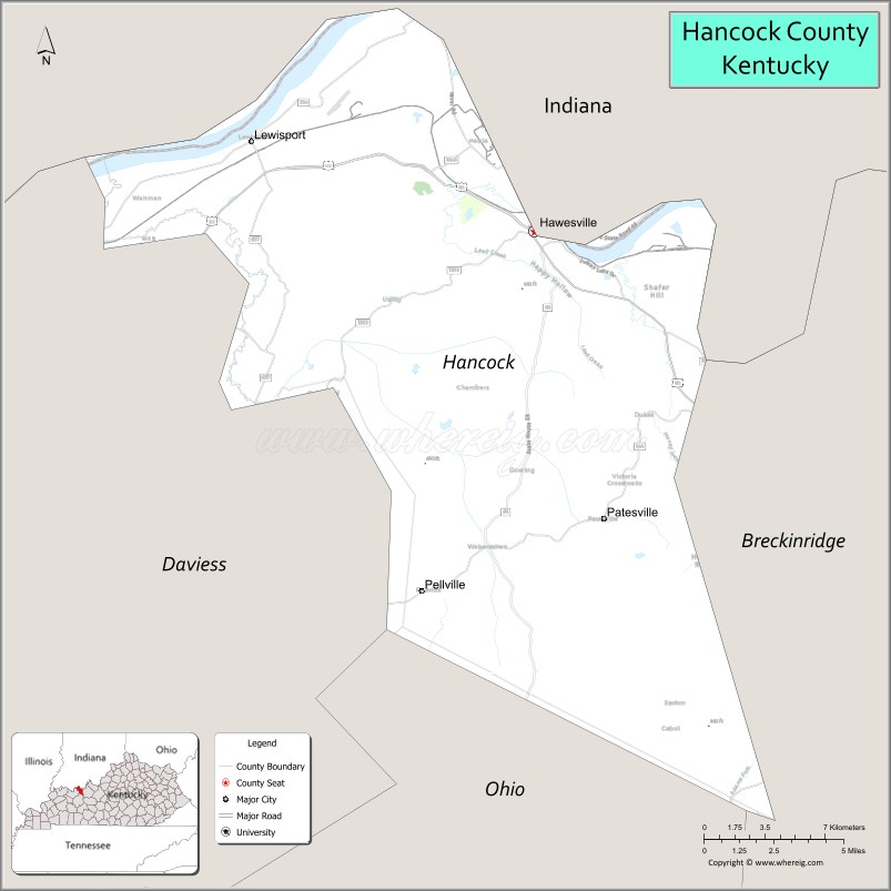
Hancock County, Kentucky is a county located in the U.S. state of Kentucky. As of the 2020 census, the population was 9,095. Its county seat is in the city of Hawesville located in the Northern part of the county, and its largest city of Lewisport is located in the Northwestern part of the county.
Hancock County is included in the Owensboro, KY Metropolitan Statistical Area.
The Hancock County Board of Education consists of 4 public school systems. Hancock County High School (HCHS), Hancock County Middle School (HCMS), South Hancock Elementary School, & North Hancock Elementary School (NHES). North Hancock Elementary School being the only one located in Lewisport. NHES replaced the previously outdated Lewisport Elementary School with a newly constructed $8,829,532 building.
| Name: | Hancock County |
|---|---|
| FIPS code: | 21-091 |
| State: | Kentucky |
| Founded: | 1829 |
| Named for: | John Hancock |
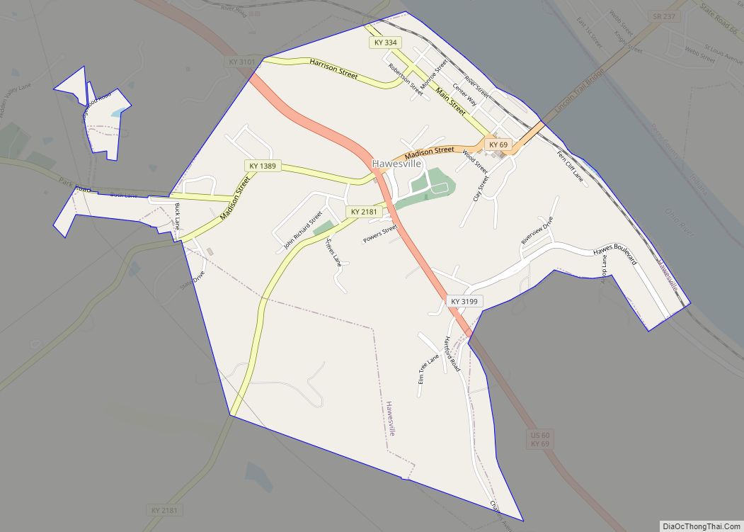
| Seat: | Hawesville |
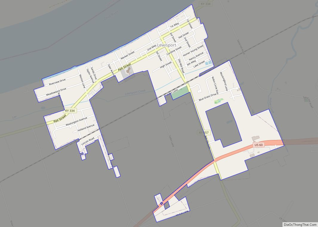
| Largest city: | Lewisport |
| Total Area: | 199 sq mi (520 km²) |
| Land Area: | 188 sq mi (490 km²) |
| Total Population: | 9,095 |
| Population Density: | 46/sq mi (18/km²) |
| Time zone: | UTC−6 (Central) |
| Summer Time Zone (DST): | UTC−5 (CDT) |
| Website: | www.hancockky.us |
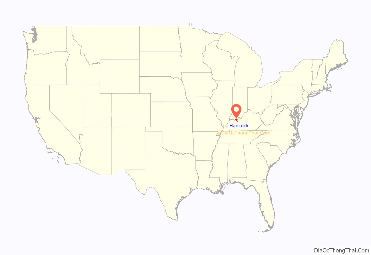
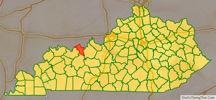
Hancock County location map. Where is Hancock County?
History
Hancock County was formed in 1829 from portions of Breckinridge, Daviess, and Ohio counties. The county is named for John Hancock, President of the Continental Congress and one of the signers of the Declaration of Independence.
The courthouse, the second to serve the county, was built in 1868 and renovated in 1978.
Hancock County Road Map

Geography
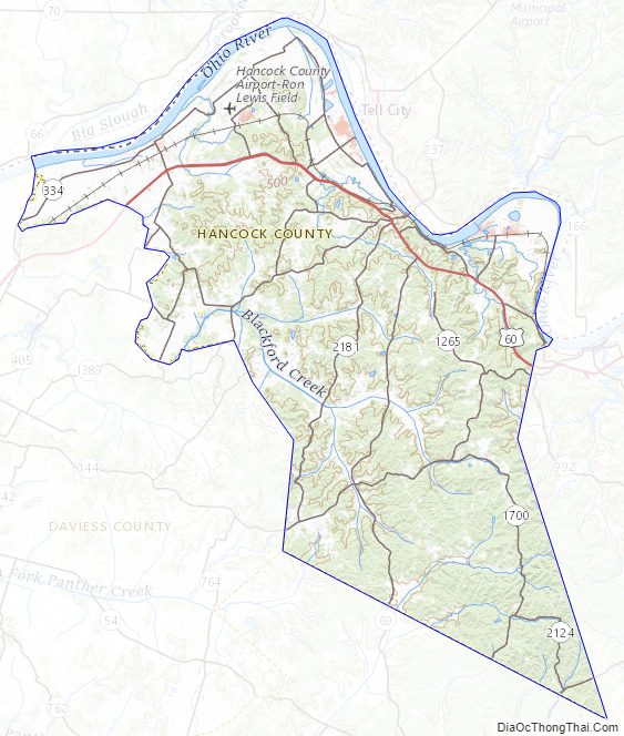
According to the U.S. Census Bureau, the county has a total area of 199 square miles (520 km), of which 188 square miles (490 km) is land and 11 square miles (28 km) (5.6%) is water. The northern border of the county lies along the Ohio River.
Adjacent counties
- Spencer County, Indiana (northwest)
- Perry County, Indiana (northeast)
- Breckinridge County (southeast)
- Ohio County (south)
- Daviess County (west)
Hancock County Topographic Map
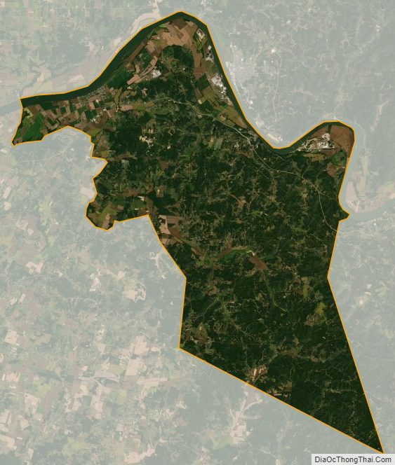
Hancock County Satellite Map
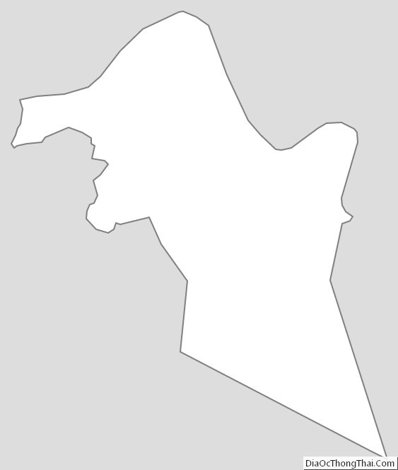
Hancock County Outline Map