Butler County is a county located in the south central portion of the U.S. state of Alabama. As of the 2020 census, the population was 19,051. Its county seat is Greenville. Its name is in honor of Captain William Butler, who was born in Virginia and fought in the Creek War, and who was killed in May 1818.
| Name: | Butler County |
|---|---|
| FIPS code: | 01-013 |
| State: | Alabama |
| Founded: | December 13, 1819 |
| Named for: | William Butler |
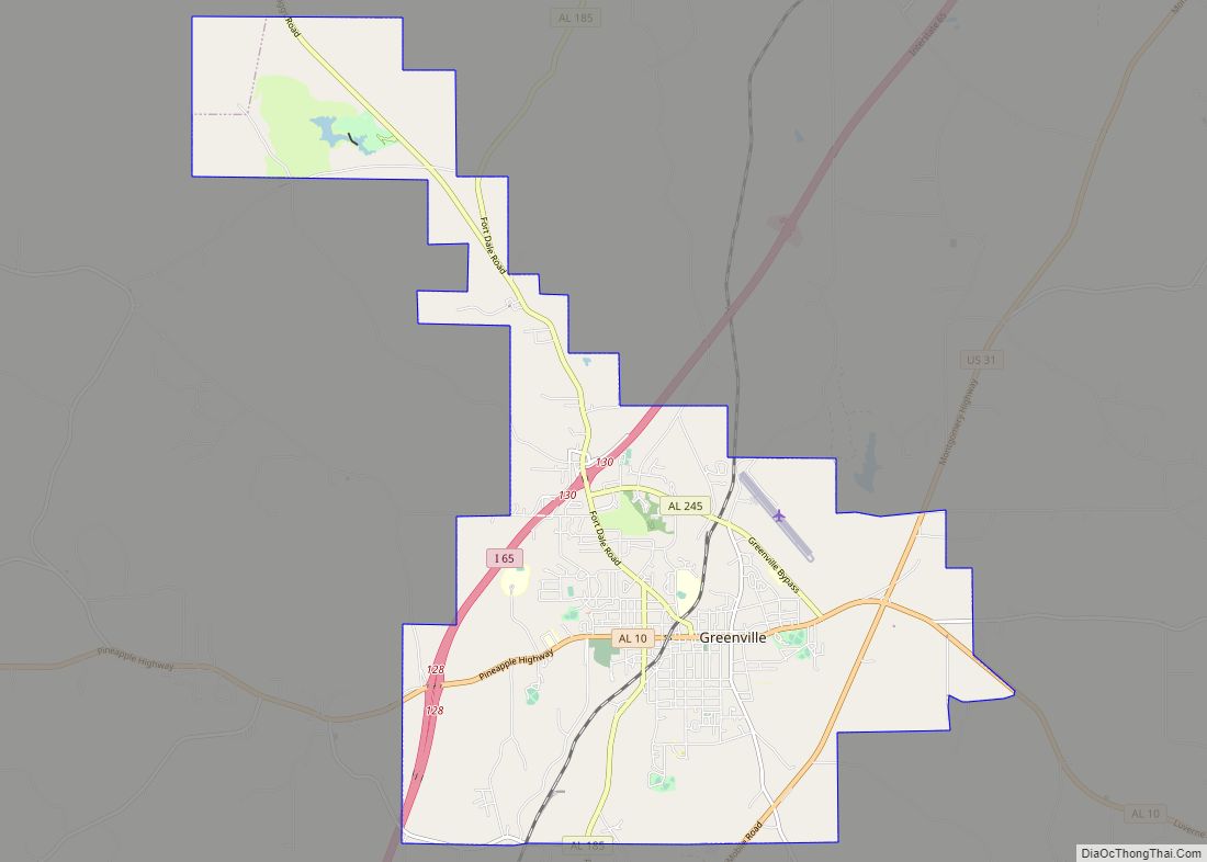
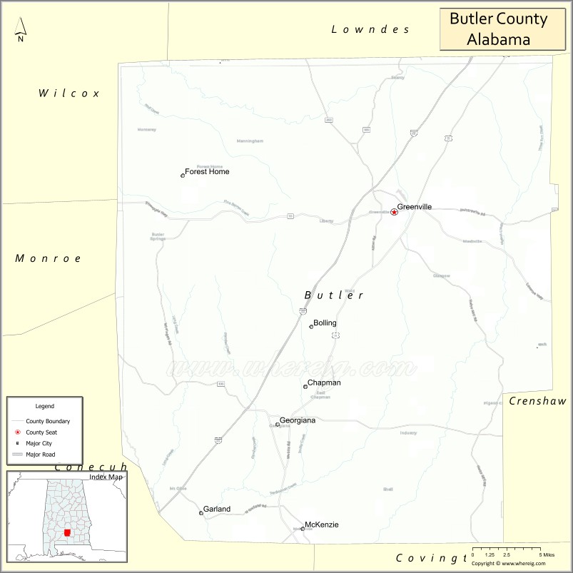
| Seat: | Greenville |
| Largest city: | Greenville |
| Total Area: | 778 sq mi (2,020 km²) |
| Land Area: | 777 sq mi (2,010 km²) |
| Total Population: | 19,051 |
| Population Density: | 24/sq mi (9.5/km²) |
| Time zone: | UTC−6 (Central) |
| Summer Time Zone (DST): | UTC−5 (CDT) |
| Website: | butlercountyal.com |
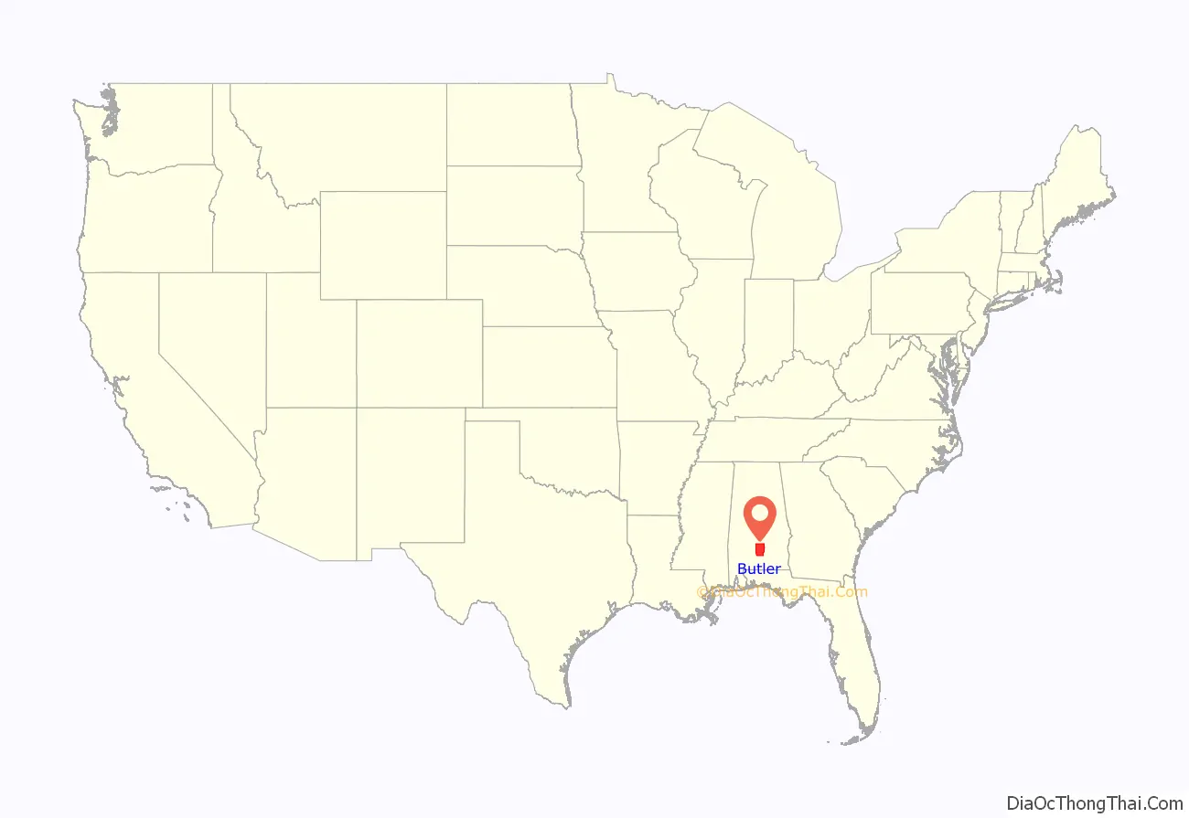
Butler County location map. Where is Butler County?
History
Butler County was formed from Conecuh County, Alabama, and Monroe County, Alabama, by an act passed December 13, 1819, by the Legislature while in session at Huntsville. This was the first session of the Legislature of Alabama as a State. The name of Fairfield was first proposed for this county, but was changed on the passage of the bill to Butler, in honor of Captain William Butler.
The precise date of the first settlement made by whites in Butler County is unclear. Some have it as early as 1814, but the earliest settler of no dispute is James K. Benson, who settled in the Flat in 1815, where he built a log house near the current location of Pine Flat Methodist Church. He was soon followed by William Ogly and John Dickerson and their families, who settled on the Federal Road, some 3 miles (5 km) south of where later Fort Dale was built. In the fall of 1816, a group of people from Georgia settled in a tent camp in Pine Flat, and the year after, another group settled near Fort Dale.
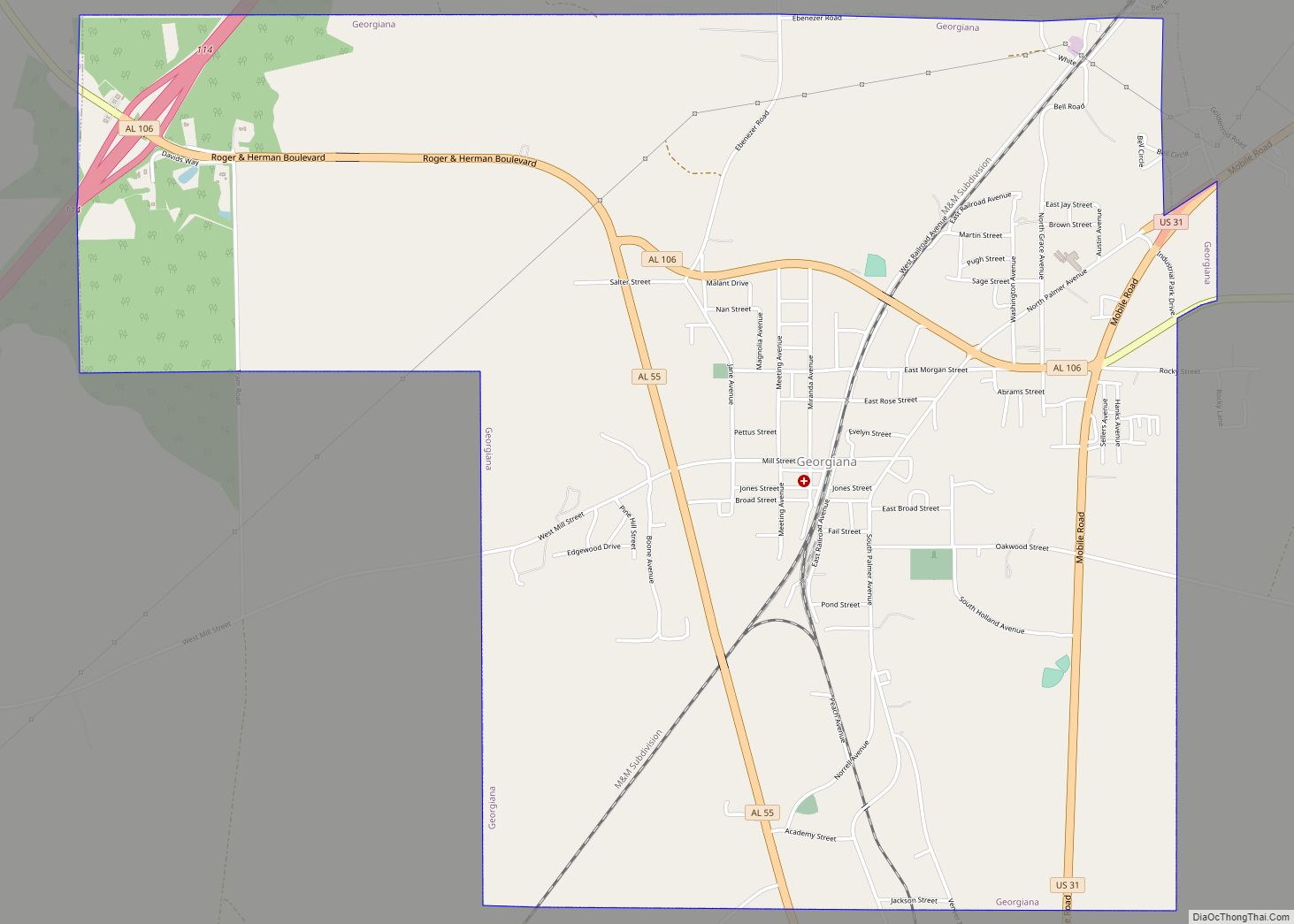
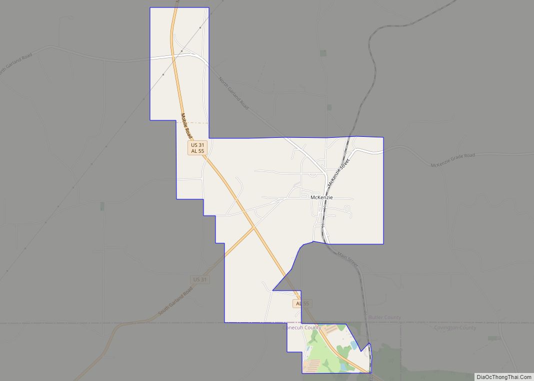
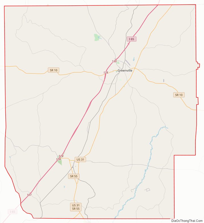
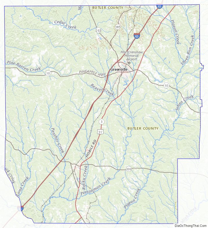
Butler County Road Map
Geography
According to the United States Census Bureau, the county has a total area of 778 square miles (2,020 km), of which 777 square miles (2,010 km) is land and 1.1 square miles (2.8 km) (0.1%) is water. It is located in the Gulf Coastal Plain region of the state.
Major highways
- Interstate 65
- U.S. Highway 31
- State Route 10
- State Route 106
- State Route 185
- State Route 245
- State Route 263
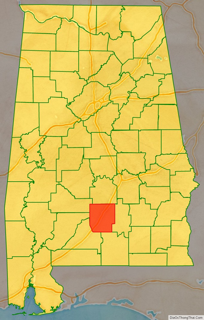
Adjacent counties
- Lowndes County (north)
- Crenshaw County (east)
- Covington County (southeast)
- Conecuh County (southwest)
- Monroe County (west)
- Wilcox County (northwest)
Butler County Topographic Map
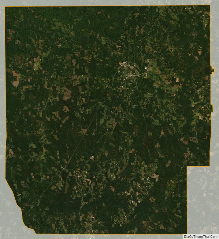
Butler County Satellite Map
Butler County Outline Map