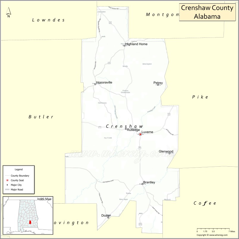
Crenshaw County is a county located in the south central portion of the U.S. state of Alabama. It is located immediately south of the Montgomery metropolitan area. As of the 2020 census, the population was 13,194. Its county seat is Luverne. Its name is in honor of an Alabama judge, Anderson Crenshaw.
| Name: | Crenshaw County |
|---|---|
| FIPS code: | 01-041 |
| State: | Alabama |
| Founded: | November 30, 1866 |
| Named for: | Anderson Crenshaw |
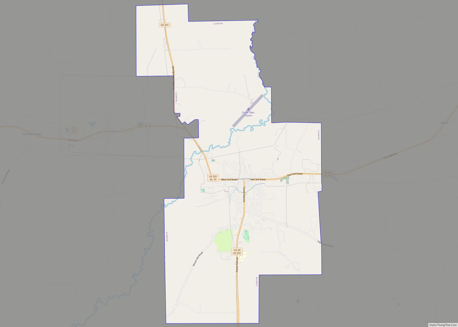
| Seat: | Luverne |
| Largest city: | Luverne |
| Total Area: | 611 sq mi (1,580 km²) |
| Land Area: | 609 sq mi (1,580 km²) |
| Total Population: | 13,194 |
| Population Density: | 22/sq mi (8.3/km²) |
| Time zone: | UTC−6 (Central) |
| Summer Time Zone (DST): | UTC−5 (CDT) |
| Website: | crenshawcountyalonline.com |
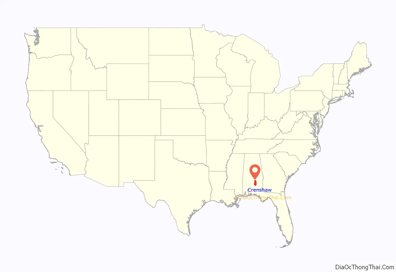
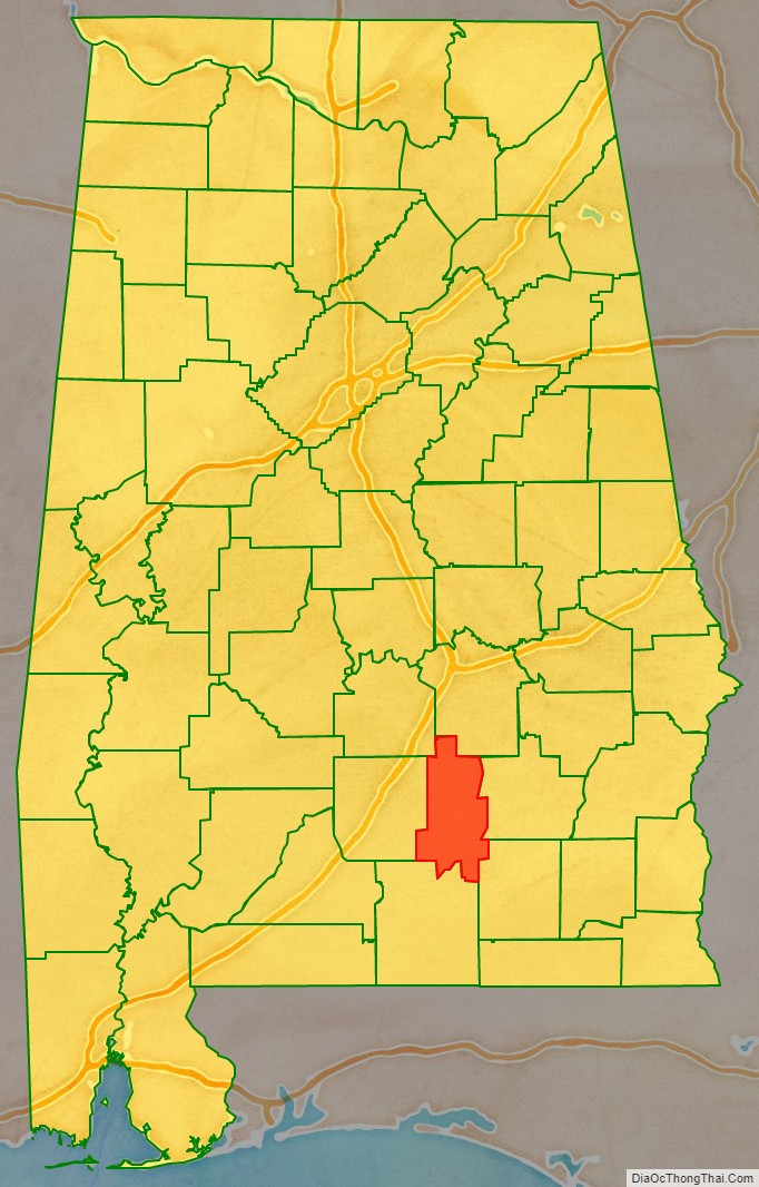
Crenshaw County location map. Where is Crenshaw County?
History
Crenshaw County was established after the American Civil War on November 30, 1866, by the Reconstruction era legislature. It was formed from parts of Butler, Coffee, Covington, Pike and Lowndes counties. While part of the coastal area, this county had relatively infertile soils, limiting cotton and other agriculture. Its planters used enslaved African Americans for all needed types of labor. Many of their descendants stayed in the area, and nearly one-quarter of the county population is African American.
Crenshaw County became a center of timbering in the Piney Wood region, especially after the Montgomery and Florida Railroad Company constructed a line through the county in 1886. This provided transport to markets for timber. It connected with Sprague Junction in Montgomery County, Alabama. The timber camps were rough work areas where racial tensions sometimes flared.
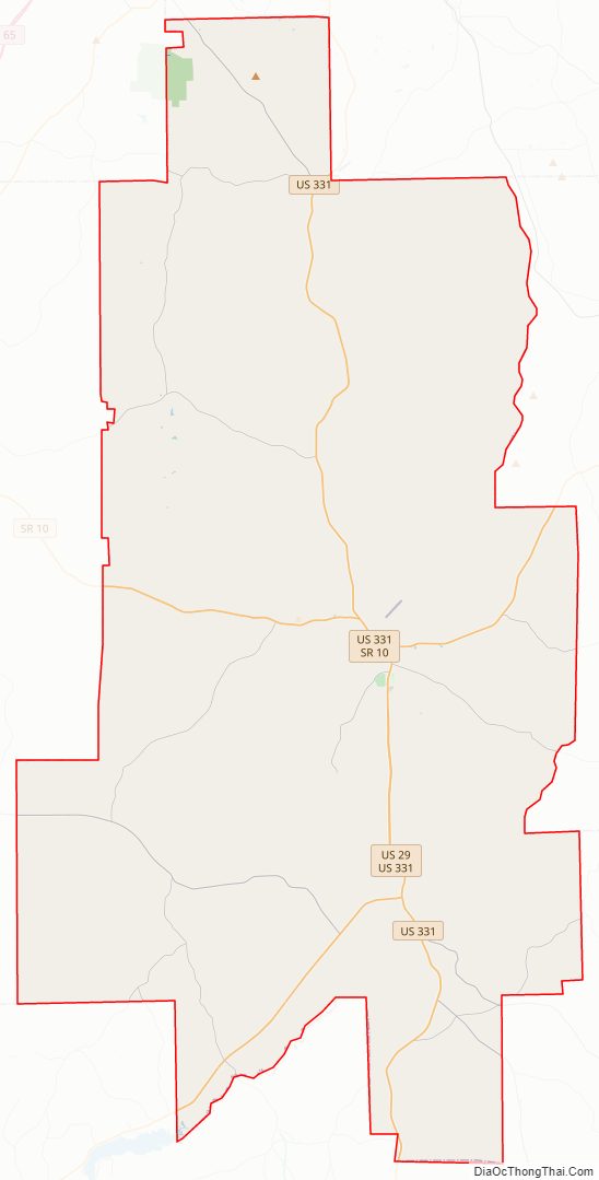
Crenshaw County Road Map
Geography
According to the United States Census Bureau, the county has a total area of 611 square miles (1,580 km), of which 609 square miles (1,580 km) is land and 2.1 square miles (5.4 km) (0.3%) is water. The county is located in the Gulf Coastal Plain region of the state. Much of the land is also covered by forests that are used for logging.
Major highways
- U.S. Highway 29
- U.S. Highway 331
- State Route 10
- State Route 97
- State Route 106
- State Route 141
- State Route 189
Adjacent counties
- Montgomery County (north)
- Pike County (east)
- Coffee County (southeast)
- Covington County (south)
- Butler County (west)
- Lowndes County (northwest)
Crenshaw County Topographic Map
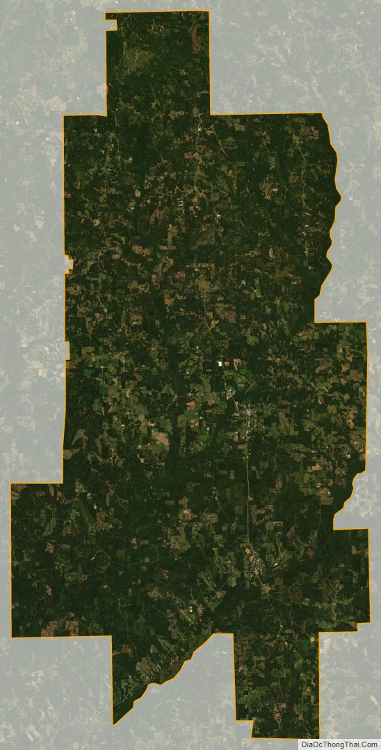
Crenshaw County Satellite Map
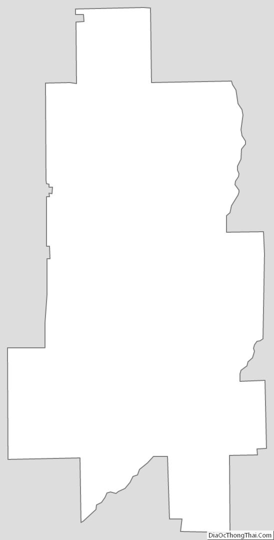
Crenshaw County Outline Map