| Name: | Caddo Parish |
|---|---|
| FIPS code: | 22-017 |
| State: | Louisiana |
| Founded: | January 18, 1838 |
| Named for: | Caddo Native Americans |
| Seat: | Shreveport |
| Total Area: | 2,430 km² (937 sq mi) |
| Land Area: | 2,280 km² (879 sq mi) |
| Total Population: | 237,848 |
| Population Density: | 98/km² (250/sq mi) |
| Time zone: | UTC-6 (CST) |
| Summer Time Zone (DST): | UTC-5 (CDT) |
| Website: | official website |
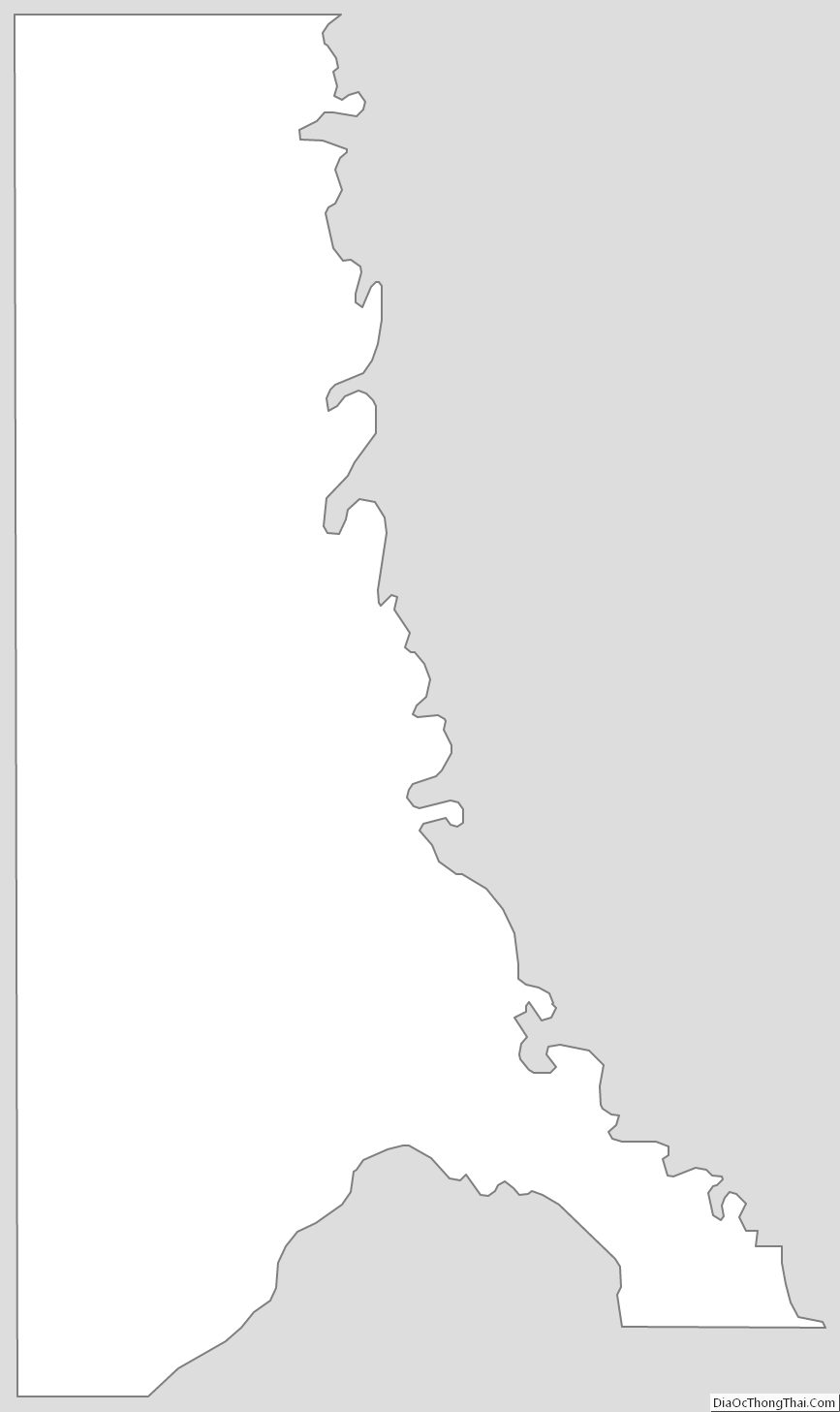
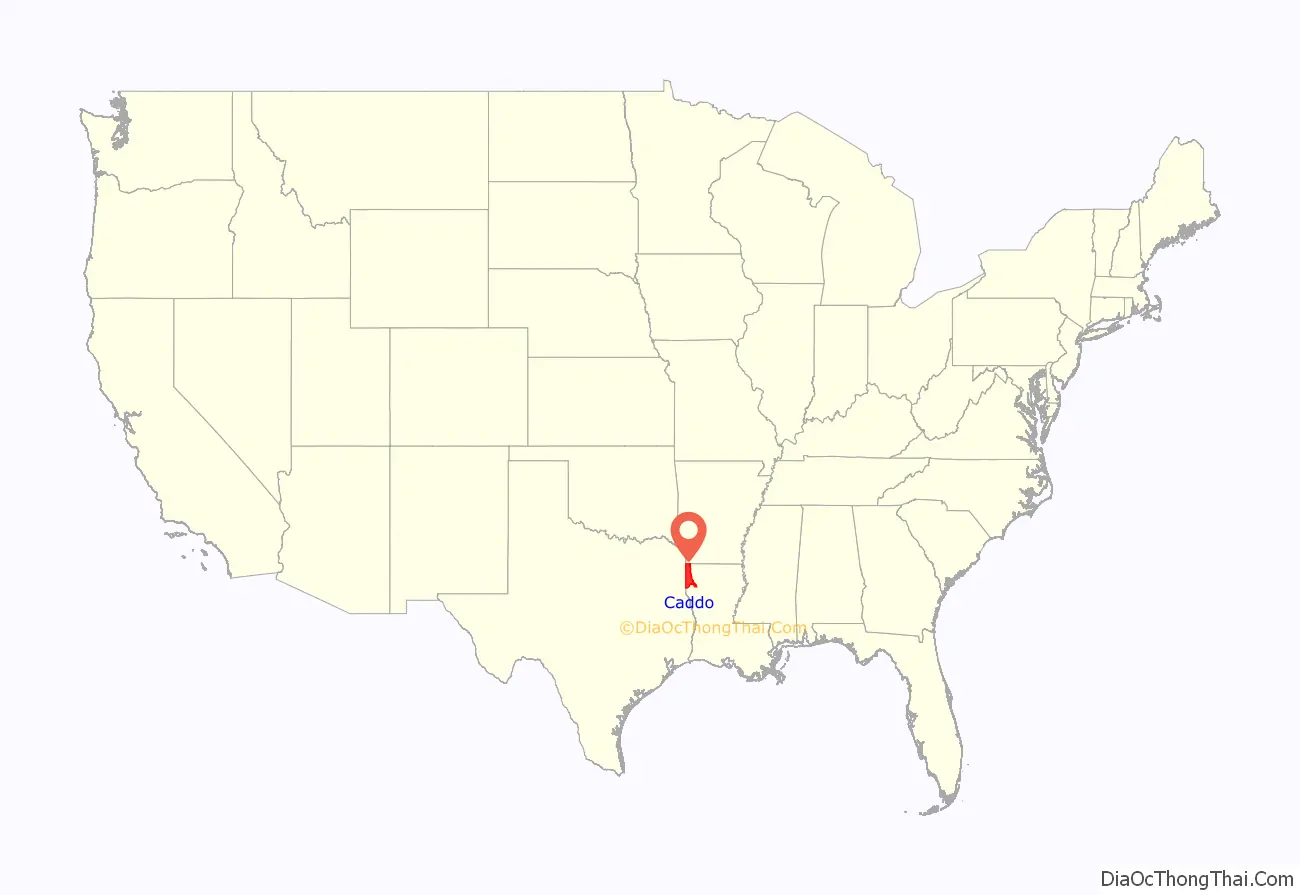
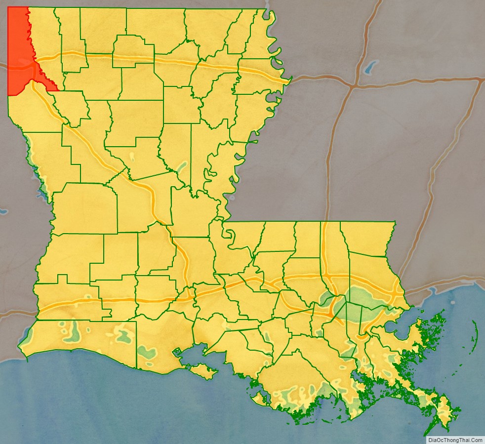
Caddo Parish location map. Where is Caddo Parish?
History
In 1838, Caddo Parish was created by territory taken from Natchitoches Parish; the legislature named it for the indigenous Caddo Indians who had lived in the area. Most were forced out during Indian Removal in the 1830s.
With European-American development, the parish became a center of cotton plantations. Planters developed these along the waterways, with clearing and later cultivation and processing by thousands of enslaved African-American laborers. Shreveport, the parish seat, became a center of government, trade and law.
An armory was constructed in Shreveport before the American Civil War. This city served as the state capital after Union forces had seized Baton Rouge, Louisiana. Locals have referred to the armory as “Fort Humbug”.
After the Civil War, and particularly after Reconstruction, whites in the parish used violence and intimidation against blacks to suppress Republican voting and re-establish white supremacy. The parishes in northwest Louisiana had a high rate of violence and lynchings. From 1877 through the early 20th century, there were 48 lynchings of African Americans in Caddo Parish; this was the second-highest total in the state after Lafourche Parish, and nearly twice as high as the lowest parishes among the top six. The victims included Jennie Steers, a domestic servant hanged by a white lynch mob in July 1903, for allegedly poisoning her employer’s daughter.
In 1920 the Daughters of the Confederacy, who were memorializing the Civil War, designated the armory as “Fort Turnball”. During World War II, the government used it as a mobilization site for men who had been drafted and recruited.
In the early twentieth century, the oil industry developed here, with a concentration of related businesses in Shreveport. Numerous oil wells were constructed across southern Arkansas and northern Louisiana.
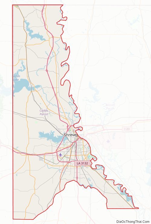
Caddo Parish Road Map
Geography
According to the U.S. Census Bureau, the parish has a total area of 937 square miles (2,430 km), of which 978 square miles (2,530 km) is land and 58 square miles (150 km) (6.2%) is water.
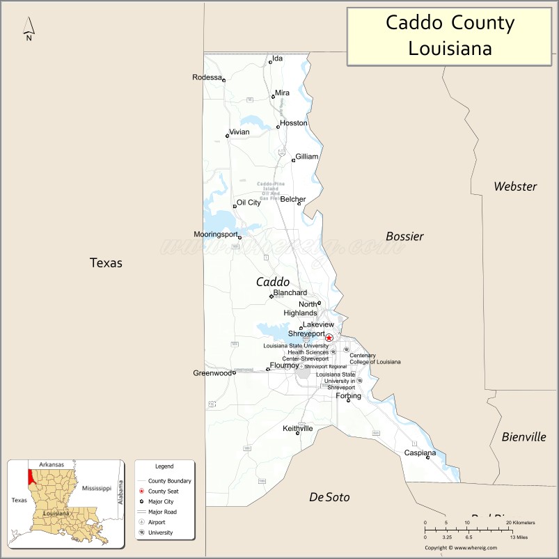
Major highways
- Interstate 20
- Interstate 220
- Interstate 49
- U.S. Highway 71
- U.S. Highway 79
- U.S. Highway 80
- U.S. Highway 171
Adjacent counties and parishes
- Miller County, Arkansas (north)
- Lafayette County, Arkansas (northeast)
- Bossier Parish (east)
- Red River Parish (southeast)
- De Soto Parish (south)
- Panola County, Texas (southwest)
- Harrison County, Texas (west)
- Marion County, Texas (west)
- Cass County, Texas (northwest)
National protected area
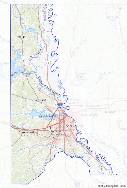
- Red River National Wildlife Refuge (part)
Caddo Parish Topographic Map
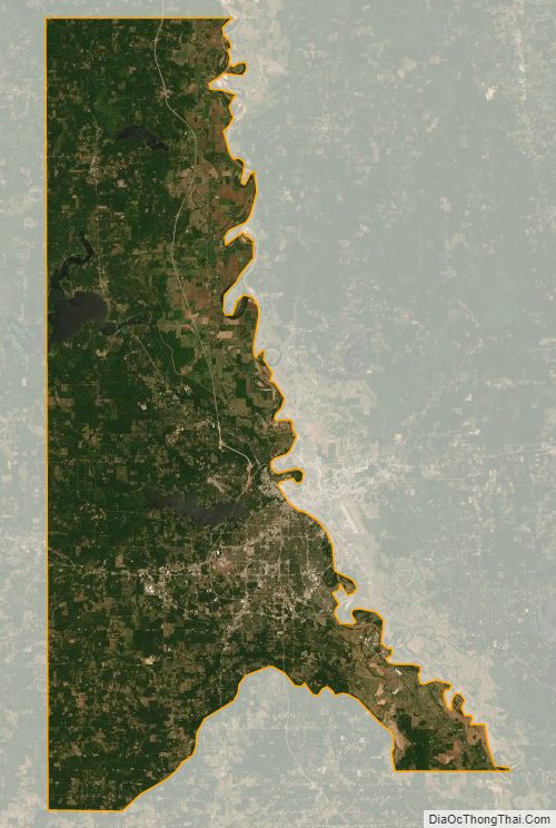
Caddo Parish Satellite Map
Caddo Parish Outline Map