| Name: | Cambria County |
|---|---|
| FIPS code: | 42-021 |
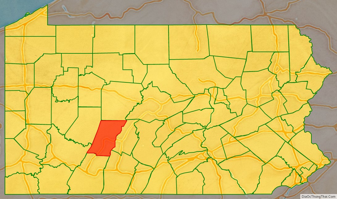
| State: | Pennsylvania |
| Founded: | November 2, 1807 |
| Named for: | Latin name of Wales |
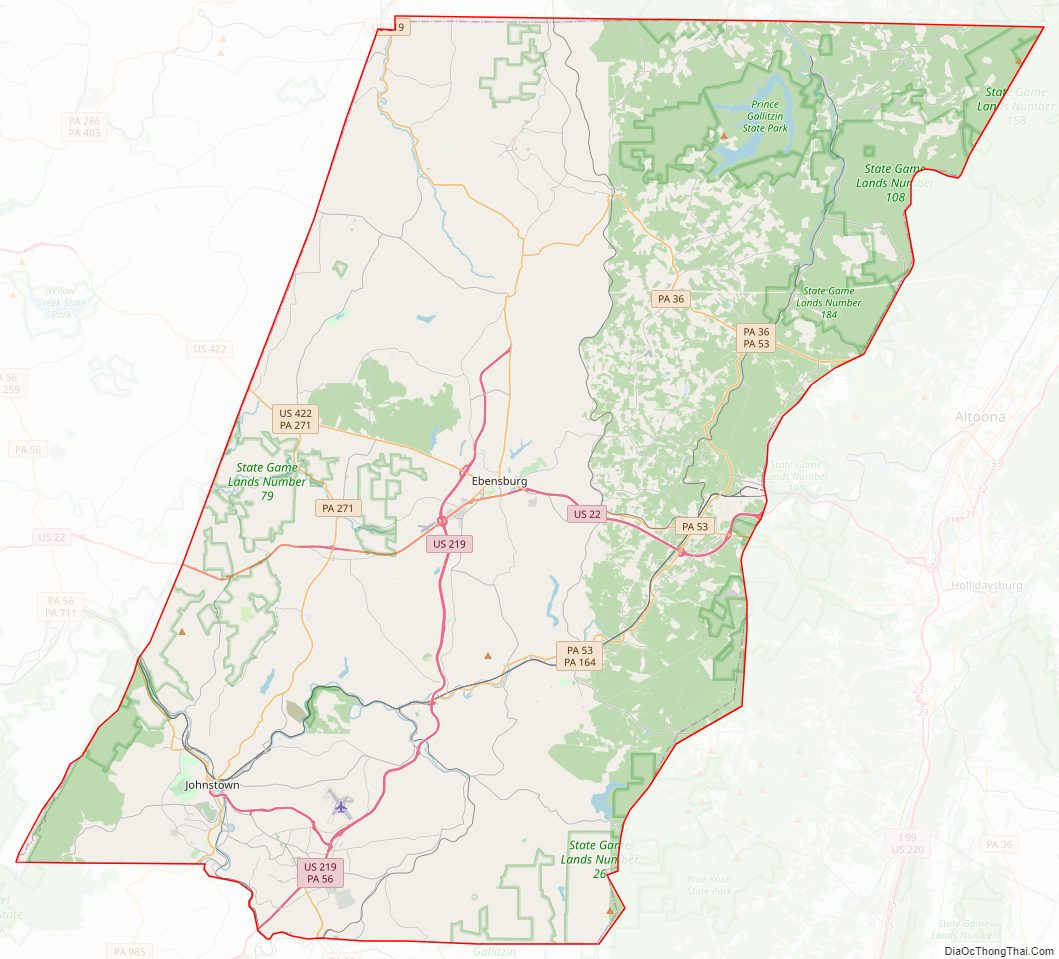
| Seat: | Ebensburg |
| Largest city: | Johnstown |
| Total Area: | 694 sq mi (1,800 km²) |
| Land Area: | 688 sq mi (1,780 km²) |
| Total Population: | 132,167 |
| Population Density: | 194/sq mi (75/km²) |
| Time zone: | UTC−5 (Eastern) |
| Summer Time Zone (DST): | UTC−4 (EDT) |
| Website: | www.co.cambria.pa.us |
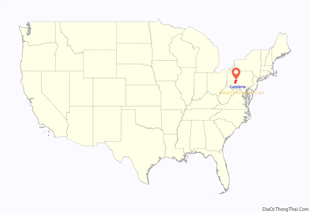
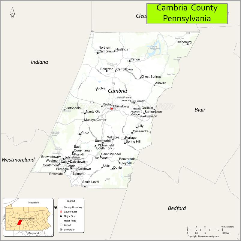
Cambria County location map. Where is Cambria County?
Cambria County Road Map
Geography
According to the U.S. Census Bureau, the county has a total area of 694 square miles (1,800 km), of which 688 square miles (1,780 km) is land and 5.3 square miles (14 km) (0.8%) is water. Cambria has a warm-summer humid continental climate (Dfb) and average monthly temperatures in downtown Johnstown range from 27.8 °F in January to 71.0 °F in July, while in Ebensburg they range from 23.9 °F in January to 67.7 °F in July. PRISM Climate Group, Oregon State U
Adjacent counties
- Clearfield County (north)
- Blair County (east)
- Bedford County (southeast)
- Somerset County (south)
- Westmoreland County (southwest)
- Indiana County (west)
National protected areas
- Allegheny Portage Railroad National Historic Site (part)
- Johnstown Flood National Memorial
Major highways
- US 22
- US 219
- US 422
- PA 36
- PA 53
- PA 56
- PA 160
- PA 164
- PA 240
- PA 271
- PA 403
- PA 553
- PA 756
- PA 865
- PA 869
- PA 985
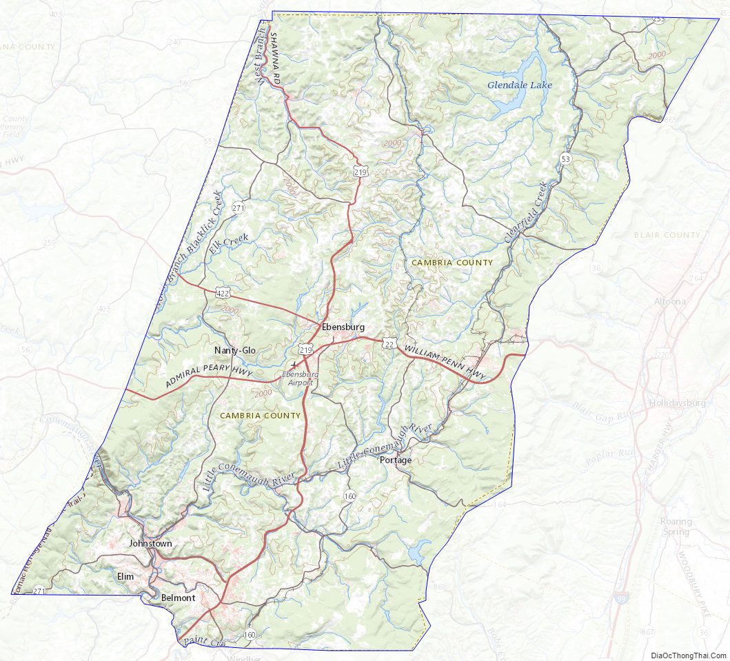
Cambria County Topographic Map
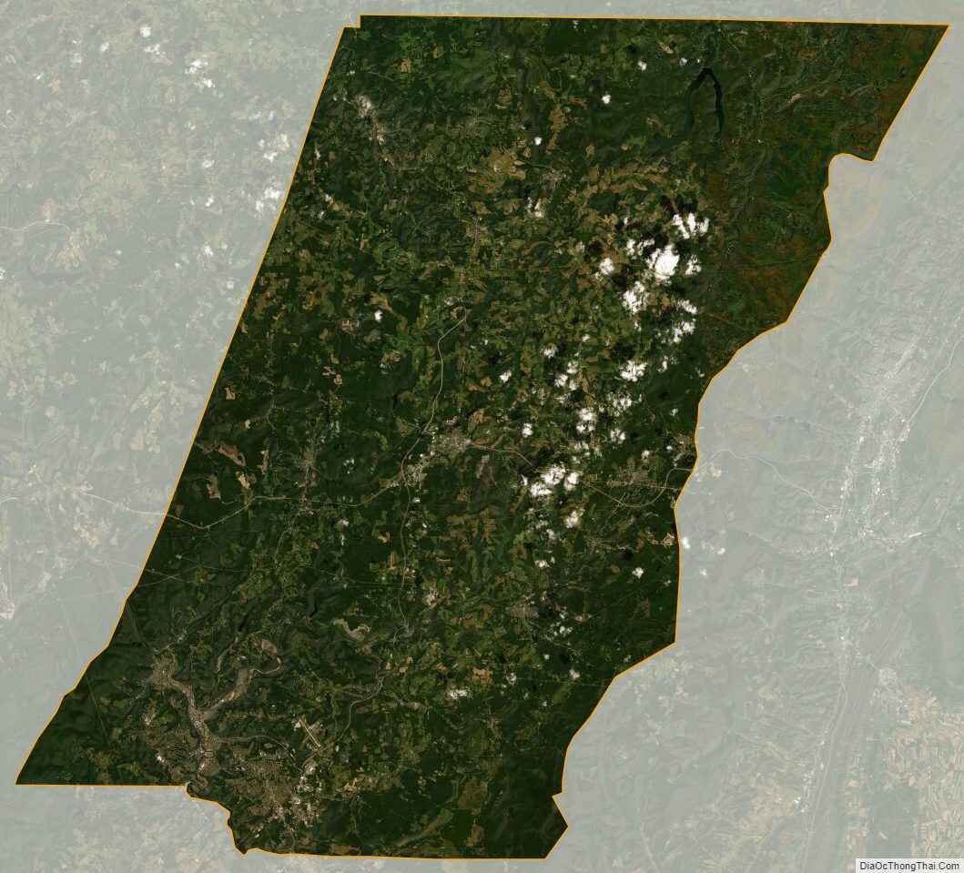
Cambria County Satellite Map
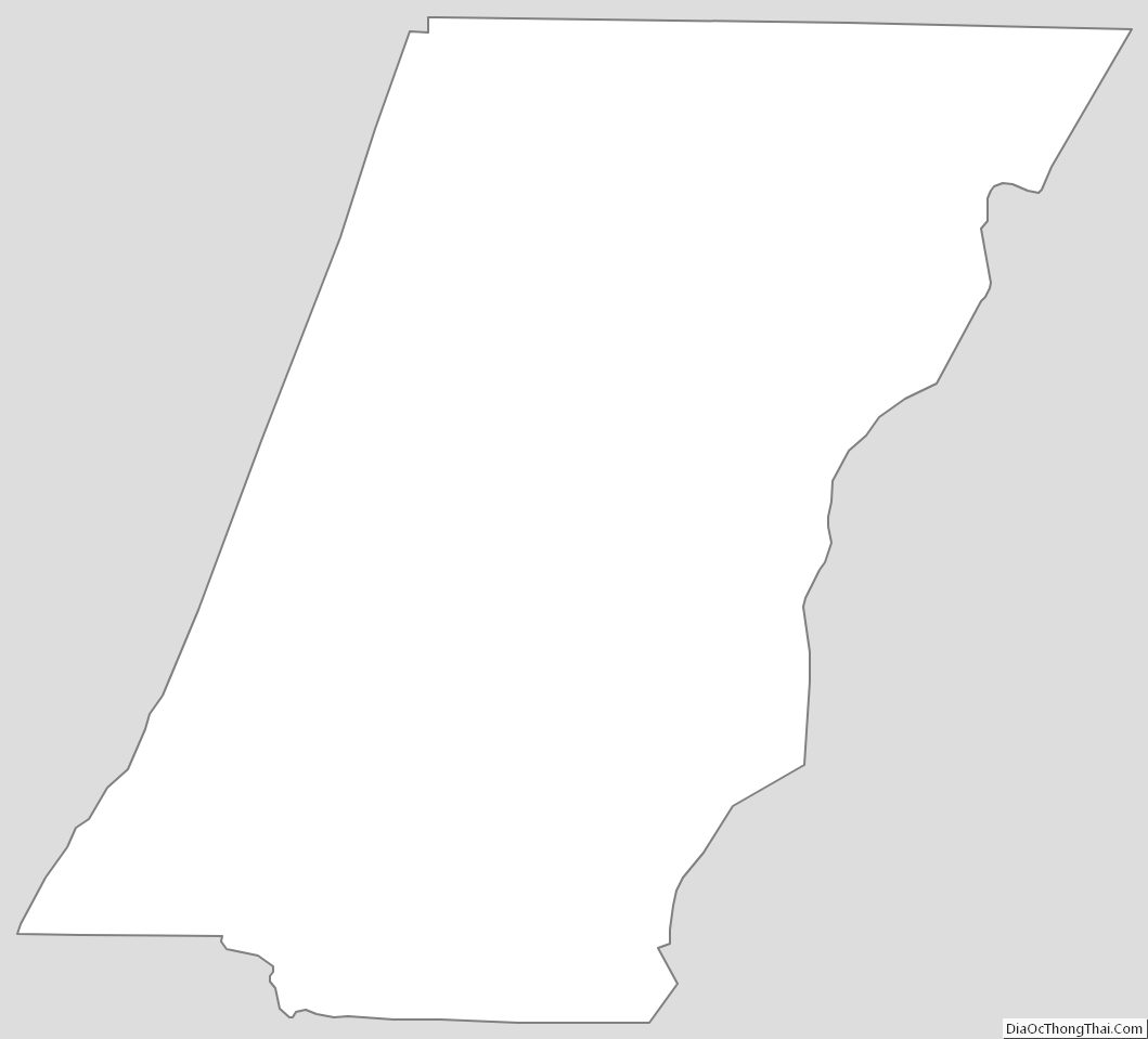
Cambria County Outline Map