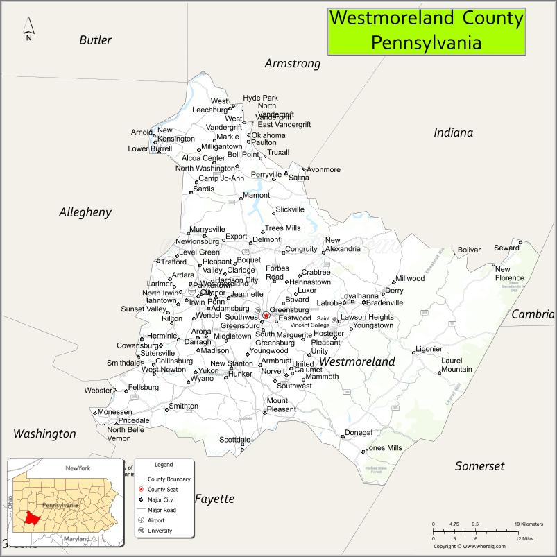
Westmoreland County is a county in the Commonwealth of Pennsylvania, United States. As of the 2020 census, the population was 364,663. The county seat is Greensburg. Formed from, successively, Lancaster, Northumberland, and later Bedford counties, Westmoreland County was founded on February 26, 1773, and was the first county in the colony of Pennsylvania whose entire territorial boundary was located west of the Allegheny Mountains. Westmoreland County originally included the present-day counties of Fayette, Washington, Greene, and parts of Beaver, Allegheny, Indiana, and Armstrong counties. It is named after Westmorland, a historic county of England.
Westmoreland County is included in the Pittsburgh Metropolitan Statistical Area.
| Name: | Westmoreland County |
|---|---|
| FIPS code: | 42-129 |
| State: | Pennsylvania |
| Founded: | February 26, 1773 |
| Named for: | Westmorland |
| Seat: | Greensburg |
| Largest city: | Hempfield Township |
| Total Area: | 1,036 sq mi (2,680 km²) |
| Land Area: | 1,028 sq mi (2,660 km²) |
| Total Population: | 354,663 |
| Population Density: | 345/sq mi (133/km²) |
| Time zone: | UTC−5 (Eastern) |
| Summer Time Zone (DST): | UTC−4 (EDT) |
| Website: | www.co.westmoreland.pa.us |
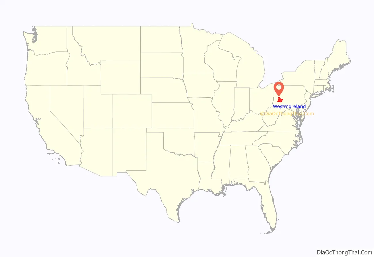
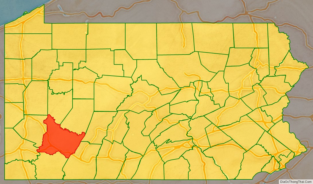
Westmoreland County location map. Where is Westmoreland County?
History
Formed from Lancaster, Northumberland, and later Bedford counties, Westmoreland County was founded on February 26, 1773, and was the first county in the Pennsylvania colony whose entire territorial boundary was located west of the Allegheny Mountains. Westmoreland County originally included the present-day counties of Fayette, Washington, Greene, and parts of Beaver, Allegheny, Indiana, and Armstrong counties. It is named after Westmorland, a historic county of England.
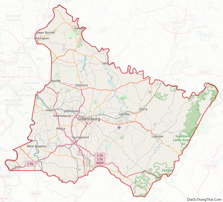
Westmoreland County Road Map
Geography
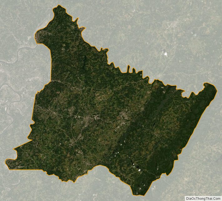
According to the U.S. Census Bureau, the county has a total area of 1,036 square miles (2,680 km), of which 1,028 square miles (2,660 km) is land and 8.5 square miles (22 km) (0.8%) is water. Westmoreland has a humid continental climate (Dfa/Dfb). Average monthly temperatures in Greensburg range from 28.7 °F in January to 71.8 °F in July, while in Murrysville they range from 29.4 °F in January to 73.1 °F in July, in Latrobe they range from 28.9 °F in January to 72.0 °F in July, and in Ligonier they range from 28.1 °F in January to 71.1 °F in July.
Adjacent counties
- Armstrong County (north)
- Indiana County (northeast)
- Cambria County (east)
- Somerset County (southeast)
- Fayette County (south)
- Washington County (southwest)
- Allegheny County (west)
- Butler County (northwest)
Major highways
- I-70
- I-76 / Penna Turnpike
- US 30
- US 22
- US 119
- PA 31
- PA 51
- PA 56
- PA 56 Truck
- PA 66 / PA Turnpike 66
- PA 66 Bus.
- PA 66 Alt.
- PA 130
- PA 136
- PA 201
- PA 217
- PA 259
- PA 271
- PA 286
- PA 356
- PA 366
- PA 380
- PA 711
- PA 780
- PA 819
- PA 906
- PA 981
- PA 982
- PA 993
Westmoreland County Topographic Map
Westmoreland County Satellite Map
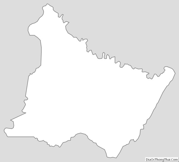
Westmoreland County Outline Map