Somerset County (Pennsylvania German: Somerset Kaundi) is a county in the Commonwealth of Pennsylvania. As of the 2020 census, the population was 74,129. Its county seat is Somerset. The county was created from part of Bedford County on April 17, 1795, and named after the county of Somerset in England.
Somerset County comprises the Somerset, PA micropolitan statistical area, which is included in the Johnstown–Somerset, PA combined statistical area.
The county is famous for being the crash site of United Airlines Flight 93, one of the four flights involved in the September 11 attacks, which crashed near the village of Shanksville after the flight’s passengers struggled with Al-Qaeda hijackers for control of the plane, which terrorists intended to fly into either the U.S. Capitol or the White House.
The Somerset County Amish community is the second oldest Amish community in the world that still exists, established in 1772. It is located in the South of the county around Meyersdale and Springs.
| Name: | Somerset County |
|---|---|
| FIPS code: | 42-111 |
| State: | Pennsylvania |
| Founded: | April 17, 1795 |
| Named for: | Somerset |
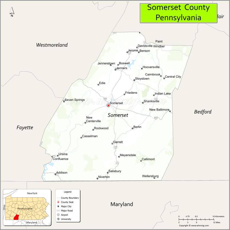
| Seat: | Somerset |
| Total Area: | 1,081 sq mi (2,800 km²) |
| Land Area: | 1,074 sq mi (2,780 km²) |
| Total Population: | 74,129 |
| Population Density: | 69/sq mi (27/km²) |
| Time zone: | UTC−5 (Eastern) |
| Summer Time Zone (DST): | UTC−4 (EDT) |
| Website: | www.co.somerset.pa.us |
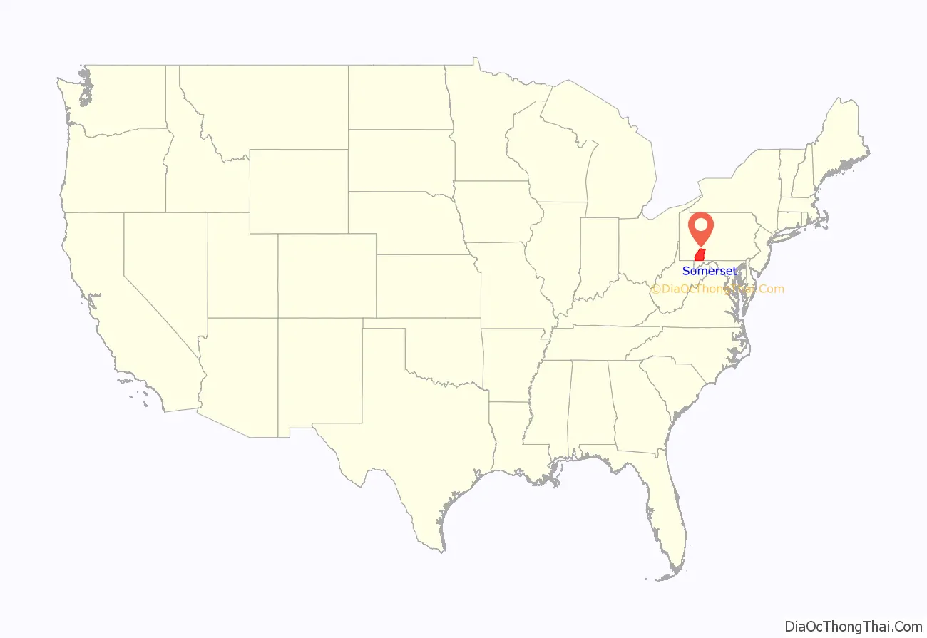
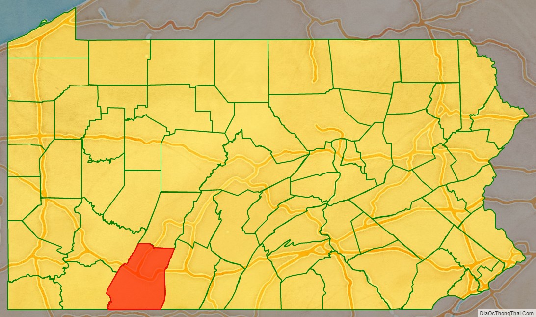
Somerset County location map. Where is Somerset County?
History
Founding
Southwestern Pennsylvania began as a huge area called Cumberland County. As population increased, the area was split into smaller counties. Bedford County was formed from part from Cumberland in 1771 and is referred to as “Old Bedford County” and contained what are now 20 smaller counties. In 1773 part of Bedford County was split off to form Westmoreland County. In 1787 Bedford County was split in half with the northern part becoming Huntingdon County and the southern part remained as a smaller Bedford County. Somerset County was split off from the western part of Bedford County on 17 April 1795, and the new county’s name was taken from Somerset, England. In 1804 the northern half of Somerset County was split off to form Cambria County. No further splits from Somerset County have occurred since 1804.
Colonial era
George Washington passed through the area of Somerset County on a scouting expedition in late 1753, just before the outbreak of the French and Indian War. The Forbes Road was cut through Somerset County several years later. This 200-mile stretch from Carlisle to what is now Pittsburgh was created by Brigadier General John Forbes in the British Expedition of 1758 to capture the French Fort Duquesne. Forbes Road was one of two great western land routes cut through the wilderness to create supply lines from the east. It was later the primary route of pioneers travelling to the Ohio Country.
Fur trappers and hunters were first to stay in the region. The earliest permanent white settlement in what is now Somerset County is a region known as Turkeyfoot. People of “The Jersey Settlement” emigrated from Essex and Morris Counties, New Jersey, about 1770.
United Airlines Flight 93
Somerset County gained worldwide attention in 2001 when a hijacked airliner, United Airlines Flight 93, crashed in Stonycreek Township, near the town of Shanksville as part of the September 11 attacks. The first confirmed report of the plane’s crash came from Somerset County Airport as reported on NBC’s The Today Show. The most likely target of this flight was the U.S. Capitol in Washington, D.C. Flight 93’s cockpit voice recorder revealed crew and passengers tried to seize control of the plane from the hijackers after learning through phone calls that Flights 11, 77, and 175 had been crashed into buildings that morning. Once it became evident that the passengers might gain control, the hijackers rolled the plane and intentionally crashed it. Their actions is honored and the crash site, which is the final resting place of the passengers and crew, is now protected as part of the Flight 93 National Memorial, under the care of the National Park System. See also USS Somerset, a U.S. Navy warship which was named in commemoration of the Flight 93 tragedy.
In July 2002, Somerset County again made worldwide news when nine coal miners were rescued from several hundred feet underground at the Quecreek mine after an intense multi-day struggle.
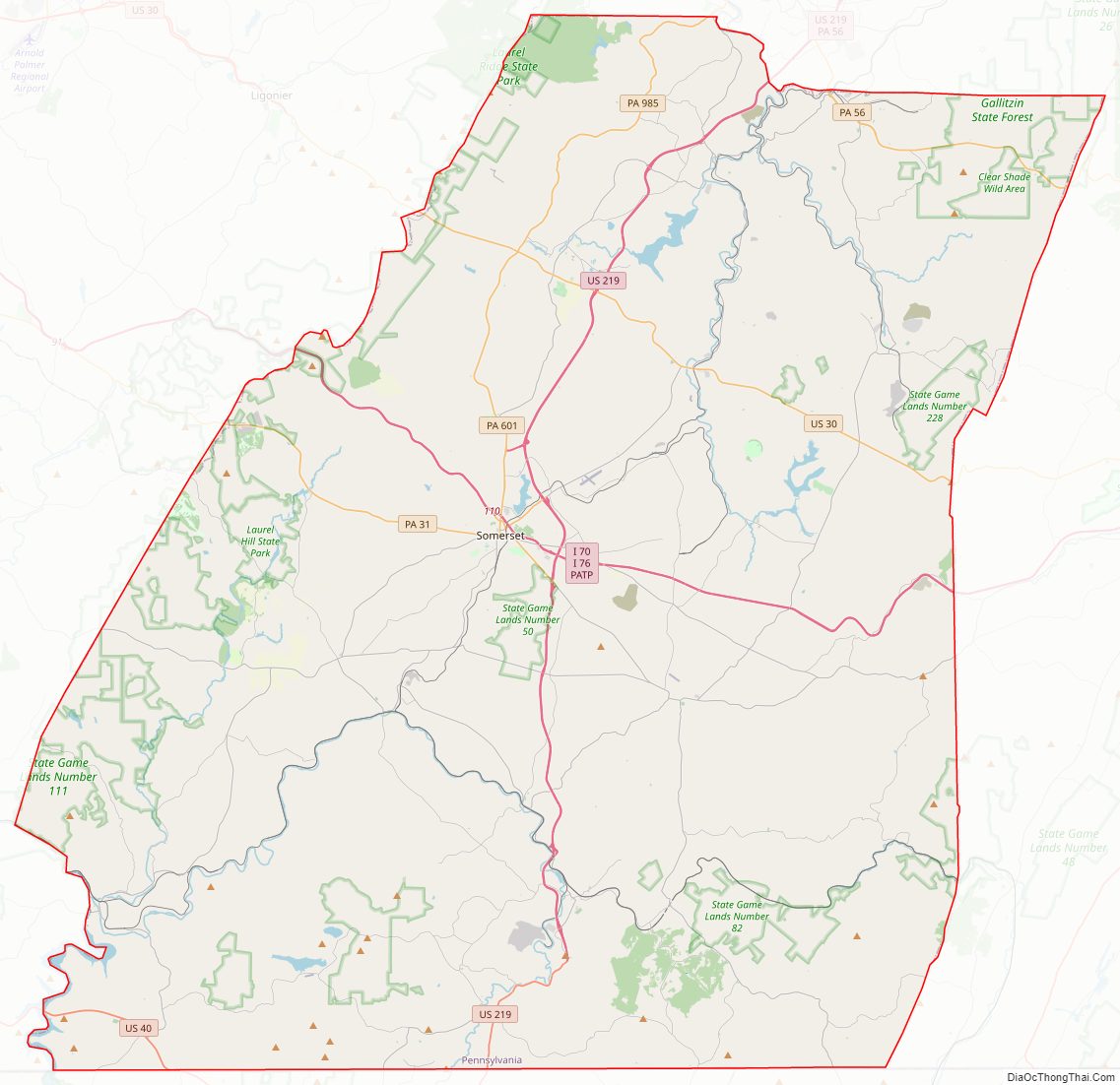
Somerset County Road Map
Geography
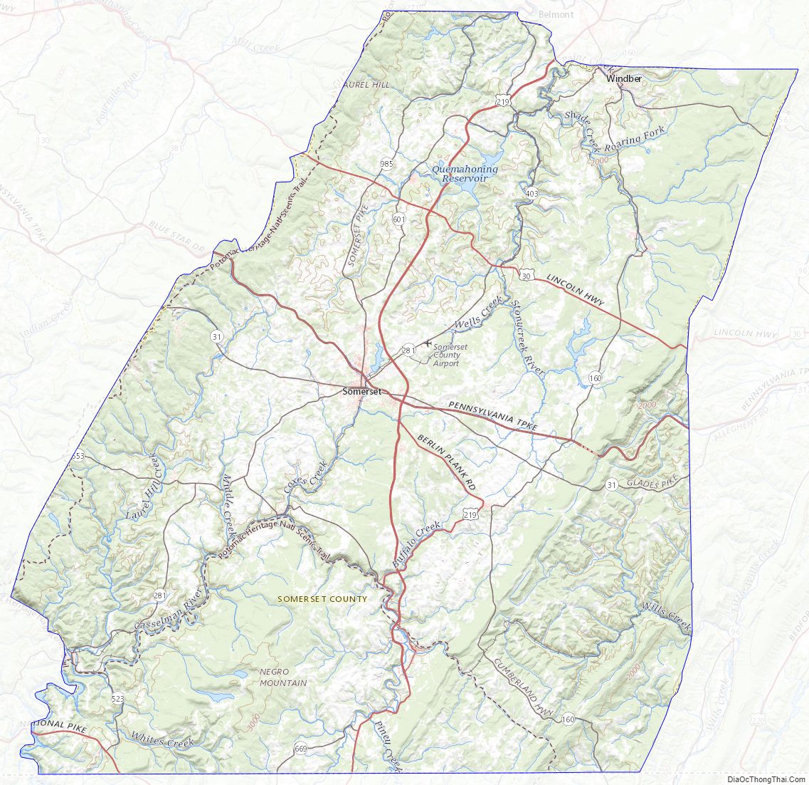
According to the U.S. Census Bureau, the county has a total area of 1,081 square miles (2,800 km), of which 1,074 square miles (2,780 km) is land and 6.6 square miles (17 km) (0.6%) is water. Somerset County is one of the far southern counties of Pennsylvania, along its straight southern edge. The county borders Garrett and Allegany Counties in Maryland, and the Pennsylvania counties of Fayette, Westmoreland, Cambria, and Bedford.
Climate
Somerset County along with Garrett County is one of the snowiest inhabited locations in the United States, with the highest elevations of the county averaging 150+ inches of snow each winter. The county’s elevation and general proximity to both the Great Lakes and the Atlantic Ocean causes snow from both Nor’easters and lake effect upslope snow events to fall from late October through early April. Snow has been recorded in Somerset County in every month except July, although local lore has it that even July saw snow in 1816, “the year without a summer.” Mount Davis, the highest natural point in the state of Pennsylvania at 3,213 feet (979 m), is located in the southern part of the county.
The county has a warm-summer humid continental climate (Dfb) and average monthly temperatures in Somerset borough range from 24.5 °F in January to 67.1 °F in July. [2]
Major highways
- I-70 / I-76 / Penna Turnpike
- US 30
- US 40
- US 219
- US 219 Bus.
- PA 31
- PA 56
- PA 160
- PA 271
- PA 281
- PA 403
- PA 523
- PA 601
- PA 653
- PA 669
- PA 985
Adjacent counties
- Cambria County (north)
- Bedford County (east)
- Allegany County, Maryland (southeast)
- Garrett County, Maryland (southwest)
- Fayette County (west)
- Westmoreland County (northwest)
National protected area
- Flight 93 National Memorial
State protected areas
- Kooser State Park
- Laurel Hill State Park
- Laurel Mountain State Park
- Laurel Ridge State Park
Somerset County Topographic Map
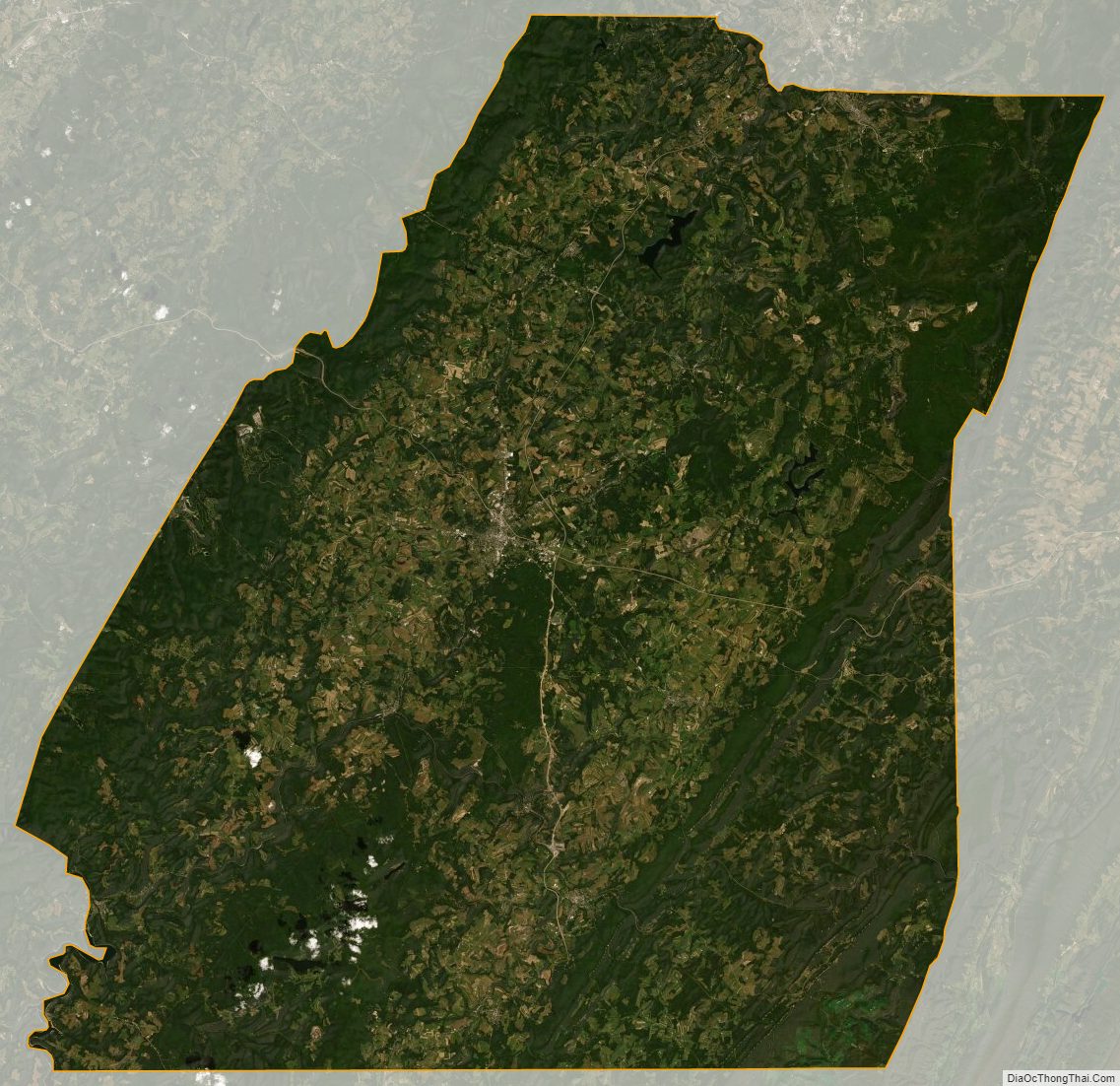
Somerset County Satellite Map
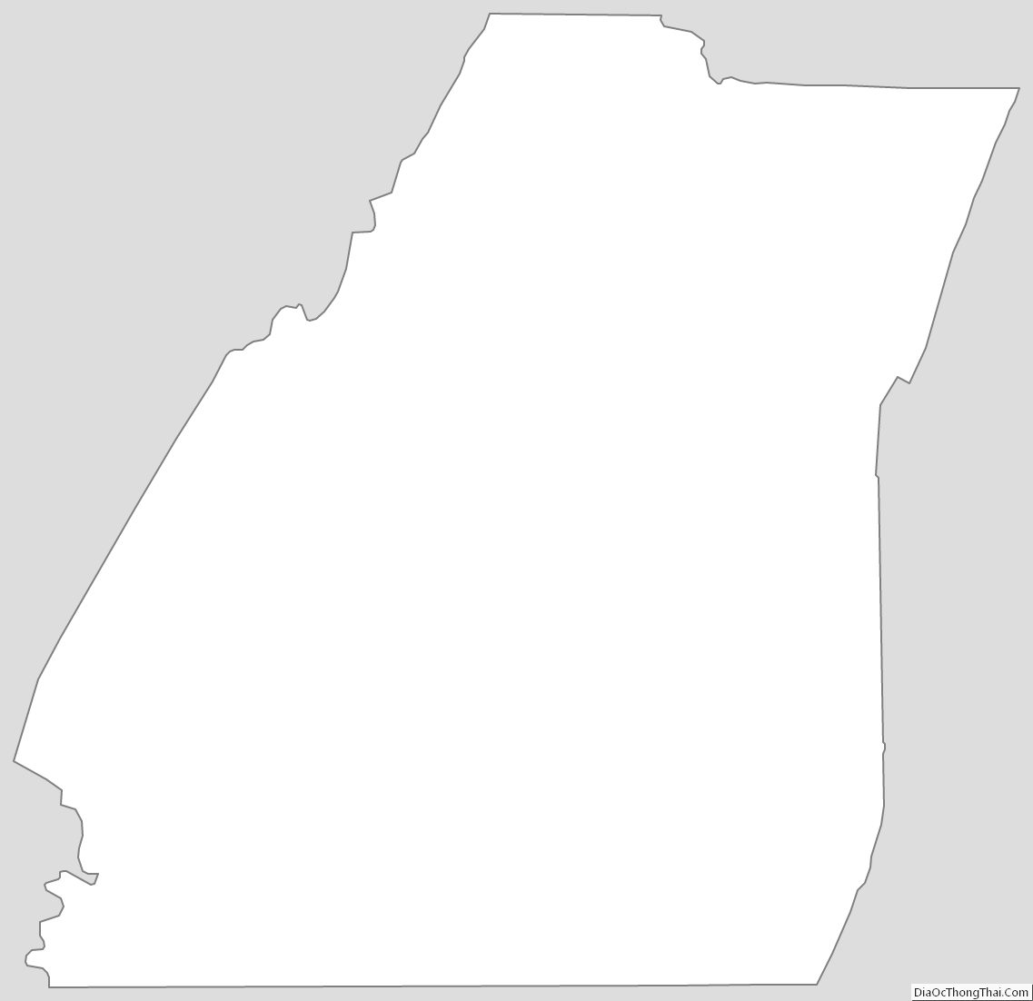
Somerset County Outline Map