Carbon County is a county in the U.S. state of Utah. As of the 2010 United States Census, the population was 21,403. Its county seat and largest city is Price.
The Price, UT Micropolitan Statistical Area includes all of Carbon County.
| Name: | Carbon County |
|---|---|
| FIPS code: | 49-007 |
| State: | Utah |
| Founded: | March 8, 1894 |
| Named for: | Abundant coal deposits |
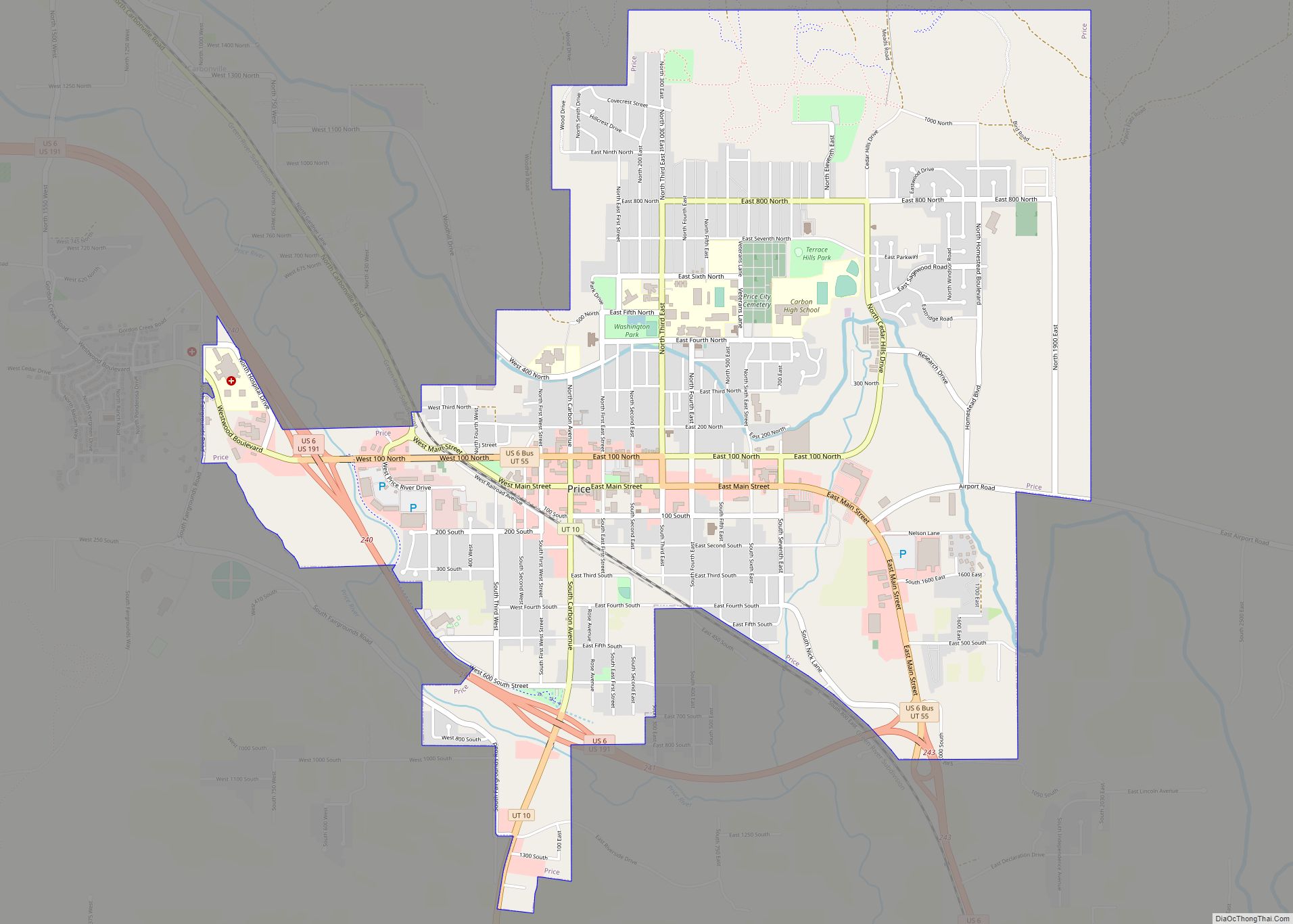
| Seat: | Price |
| Largest city: | Price |
| Total Area: | 1,485 sq mi (3,850 km²) |
| Land Area: | 1,478 sq mi (3,830 km²) |
| Total Population: | 20,412 |
| Population Density: | 14/sq mi (5.3/km²) |
| Time zone: | UTC−7 (Mountain) |
| Summer Time Zone (DST): | UTC−6 (MDT) |
| Website: | www.carbon.utah.gov |
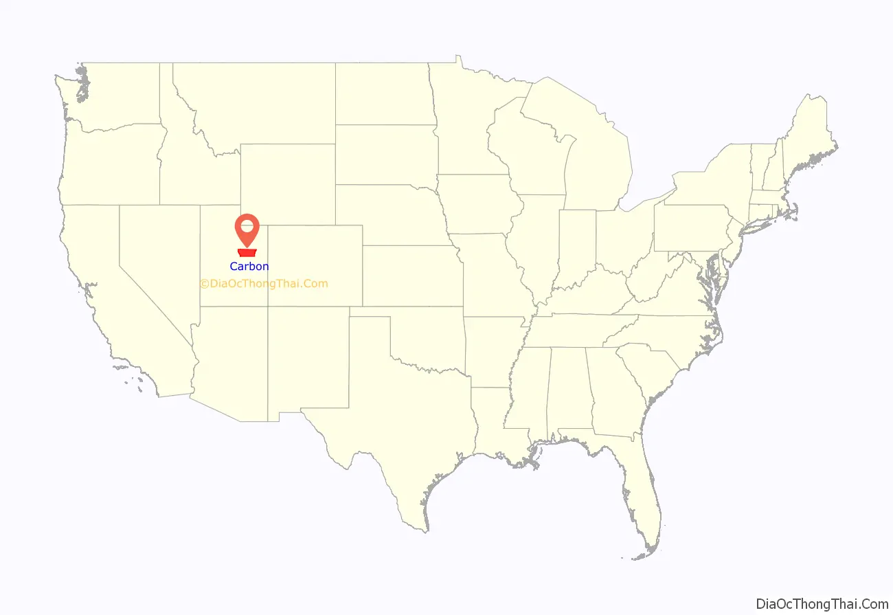
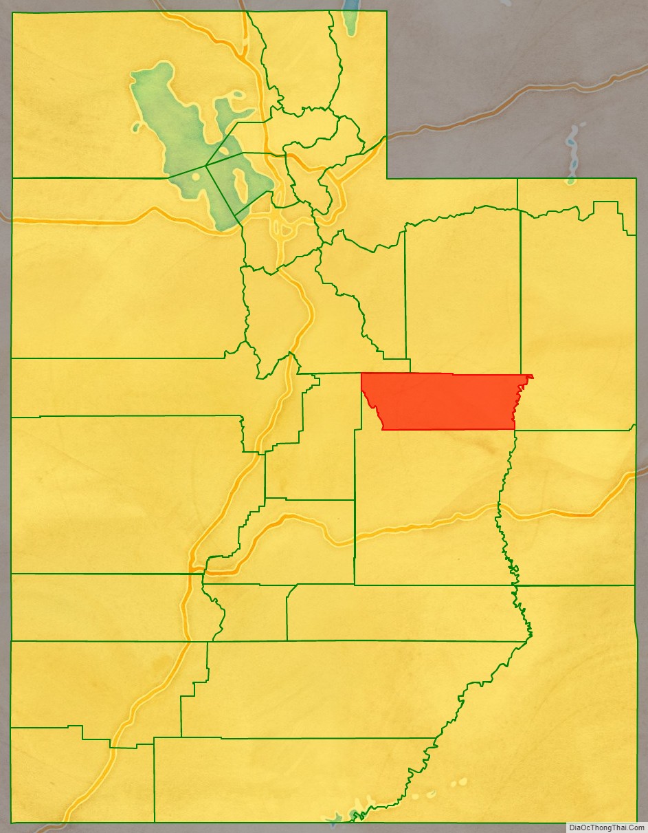
Carbon County location map. Where is Carbon County?
History
Carbon County was part of Emery County, founded in 1880. The demographics along the Price River changed with the construction of the Denver and Rio Grande Western Railroad in 1883 and the development of coal mines, largely in upper Emery, to fuel the railroad. The Utah Territory Legislature was petitioned to split off the north part, and thus it established Carbon County effective March 8, 1894. It was named for the element Carbon, to emphasize the industrial nature of the area.
Carbon County is the second-largest natural gas producer in Utah (after Uintah County), with 94 billion cubic feet produced in 2008.
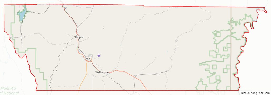
Carbon County Road Map
Geography
The Green River flows south-southeastward along the county’s eastern border. The lower central part of Carbon County is a continuation of Castle Valley in Emery County, but in Carbon, the valley is ringed with mountains – the Wasatch Range to the west and northwest, and the Book Cliffs to the north and northeast. The county generally slopes to the south and east; its highest point is Monument Peak on the crest of the Wasatch Mountains near the midpoint of the county’s western border, at 10,452′ (3186m) ASL. The county has a total area of 1,485 square miles (3,850 km), of which 1,478 square miles (3,830 km) is land and 6.1 square miles (16 km) (0.4%) is water.
Airports
- Carbon County Regional Airport (PUC) – Price
Major highways
- U.S. Routes 6/191
- Utah State Route 10
- Utah State Route 96
- Utah State Route 122
- Utah State Route 123
- Utah State Route 124
- Utah State Route 139
- Utah State Route 157
Adjacent counties
- Utah County – northwest
- Duchesne County – north
- Uintah County – east
- Emery County – south
- Sanpete County – west
Protected areas
- Gordon Creek Wildlife Management Area
- Manti National Forest (part)
- Price Canyon Recreation Area
- Scofield State Park
Carbon County Topographic Map
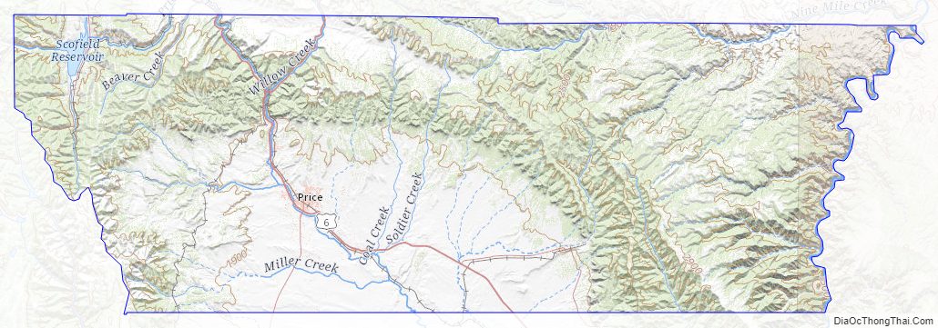
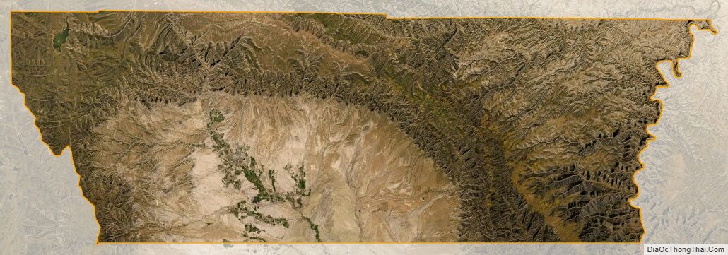
Carbon County Satellite Map
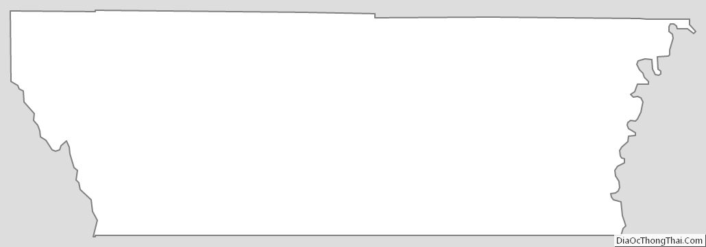
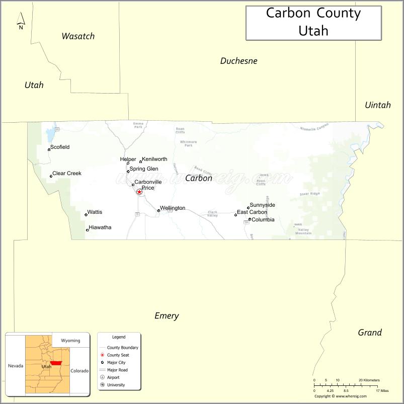
Carbon County Outline Map