Uintah County (/juːˈɪntə/ yoo-IN-tə) is a county in the U.S. state of Utah. As of the 2020 United States Census the population was 35,620. Its county seat and largest city is Vernal. The county was named for the portion of the Ute Indian tribe that lived in the basin.
Uintah County is the largest natural gas producer in Utah, with 272 billion cubic feet produced in 2008.
The Vernal, UT Micropolitan Statistical Area includes all of Uintah County.
| Name: | Uintah County |
|---|---|
| FIPS code: | 49-047 |
| State: | Utah |
| Founded: | February 18, 1880 |
| Named for: | Ute Tribe |
| Seat: | Vernal |
| Largest city: | Vernal |
| Total Area: | 4,501 sq mi (11,660 km²) |
| Land Area: | 4,480 sq mi (11,600 km²) |
| Total Population: | 35,620 |
| Population Density: | 7.9/sq mi (3.1/km²) |
| Time zone: | UTC−7 (Mountain) |
| Summer Time Zone (DST): | UTC−6 (MDT) |
| Website: | www.co.uintah.ut.us |
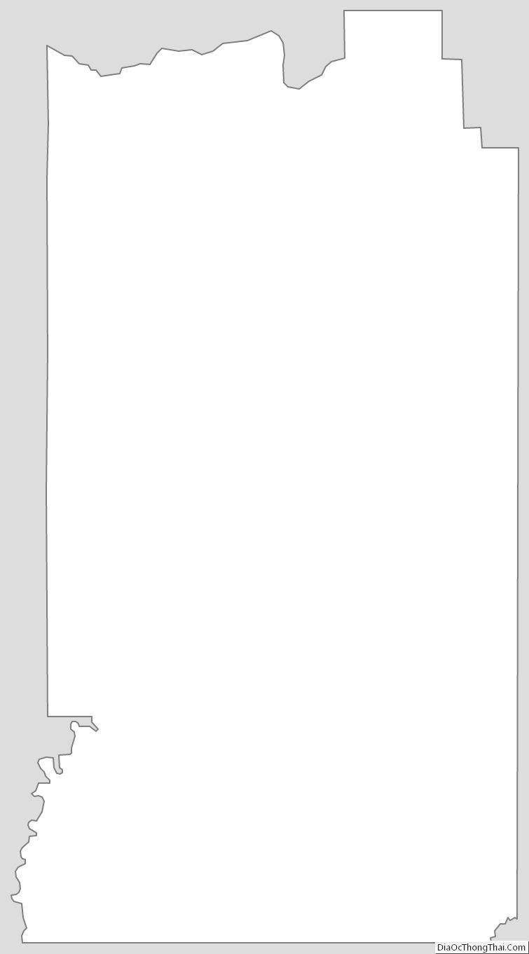
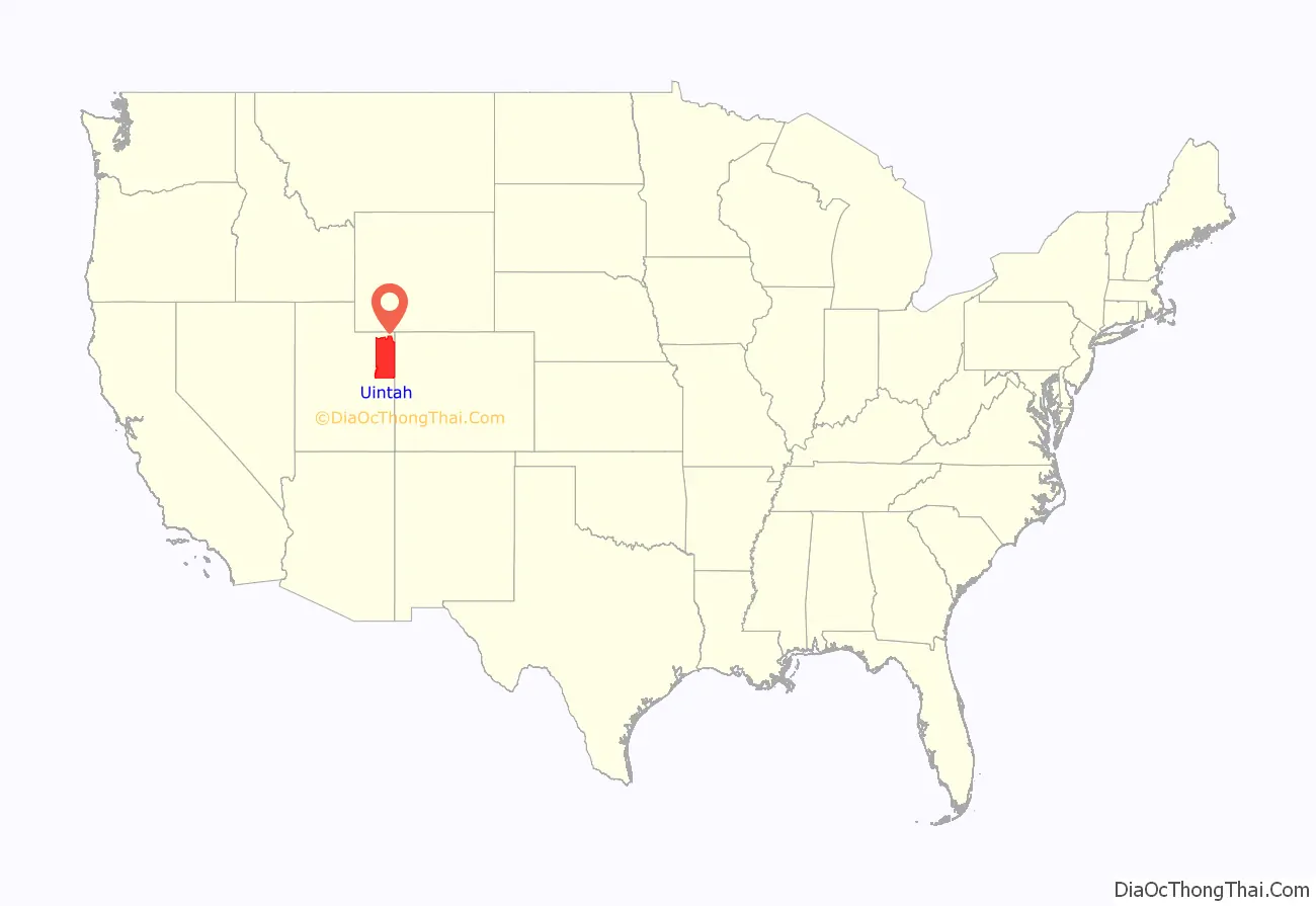
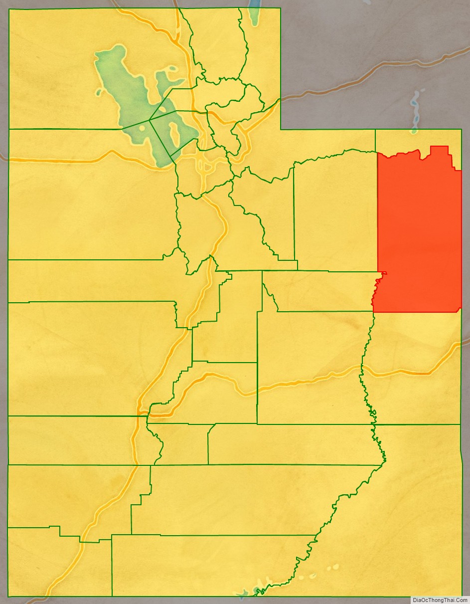
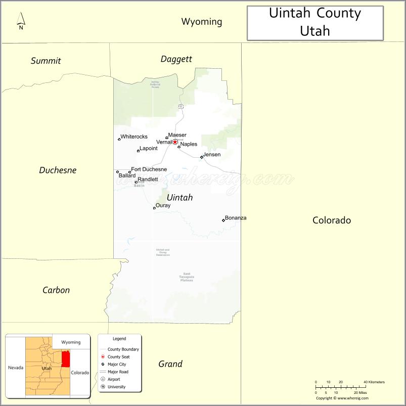
Uintah County location map. Where is Uintah County?
History
Archeological evidence suggests that portions of the Uinta Basin have been inhabited by Archaic peoples and Fremont peoples. By the time of recorded history, its inhabitants were the Ute people. The first known traverse by non-Indians was made by Fathers Domínguez and Escalante (1776), as they sought to establish a land route between California and Spanish America.
The region was claimed by the Spanish Empire as the Alta California division of New Spain (1521-1821) and was later under Mexican control (1821-1848).
By the early nineteenth century, occasional fur trappers entered the Basin. In 1831-32 Antoine Robidoux, a French trapper licensed by the Mexican government established a trading post near present-day Whiterocks. He abandoned the effort in 1844.
In 1847 a contingent of Mormons under Brigham Young entered the Great Salt Lake Valley to the west of the Uintah region to establish what would become Salt Lake City. In 1861 Young dispatched an exploring party to the Uinta Basin; they reported “that section of country lying between the Wasatch Mountains and the eastern boundary of the territory, and south of Green River country, was one vast contiguity of waste and measurably valueless.” Young made no further effort to establish communities in the area but nonetheless included it in their proposed State of Deseret.
The United States took possession under the 1848 Treaty of Guadalupe Hidalgo. In 1861 US President Abraham Lincoln created the Uintah and Ouray Indian Reservation, reserved for the use and habitation of Utah and Colorado Indians. In the 1880s, the Uncompahgre Reservation was created in the southern portion of present-day Uintah County. Ashley Valley was not part of either Reservation; by 1880, enough ranchers and farmers had settled there that the Territorial Legislature created Uintah County from portions of Sanpete, Summit, and Wasatch counties. They established the county seat at Ashley, a now-abandoned settlement three miles north of the present courthouse in Vernal.
Uintah County boundaries were altered in 1892 (Grand County created), in 1917 (adjustments with Duchesne and Summit county boundaries), in 1918 (Daggett County created), and in 1919 (the Daggett boundary line was adjusted). It has remained in its present configuration since 1919.
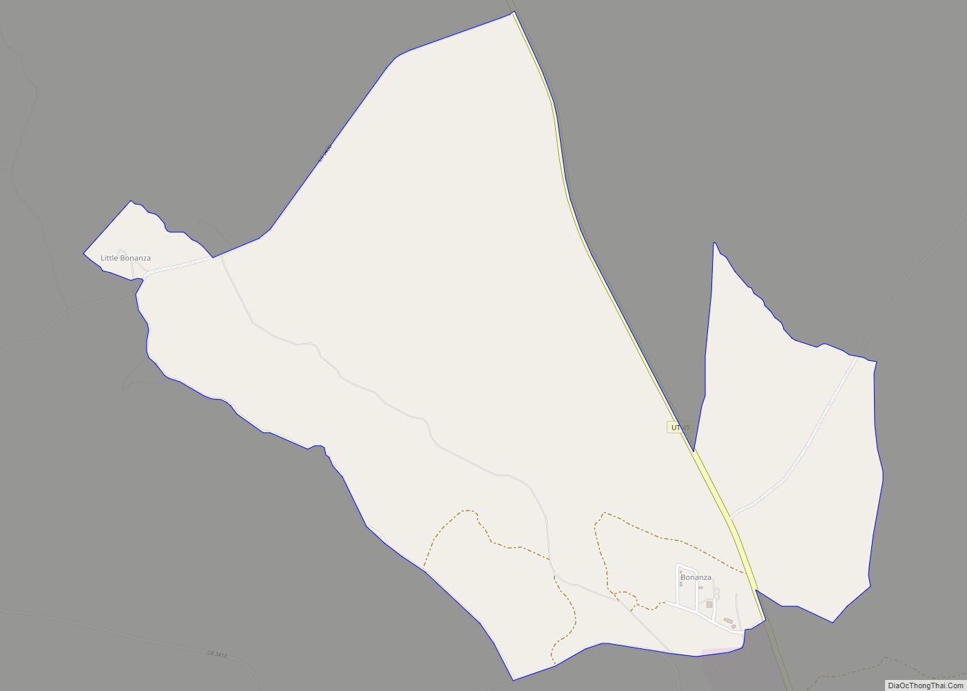
Gilsonite was discovered in 1888 at Bonanza, in central Uintah County. This was on Reservation land, but miners pressured the US government to remove some 7000 acres (11 square miles; 28 km) for mining use. Mining and its associated activities (including relative lawlessness) rapidly boomed in that area.
The northern boundary of Uintah County originally extended to the north border of Utah. In 1918, the extreme northern portion (lying north of the Uinta Mountain watershed divide) was split off to form Daggett County.
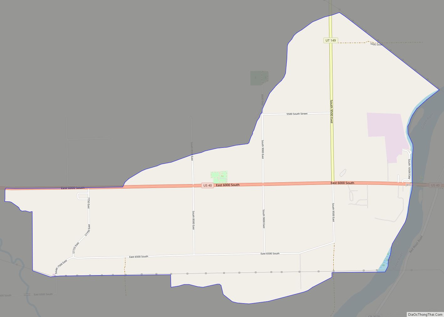
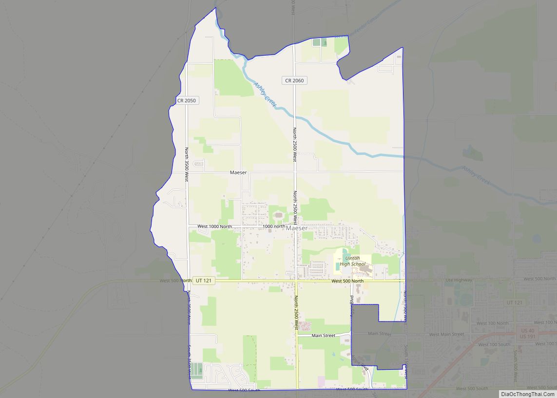
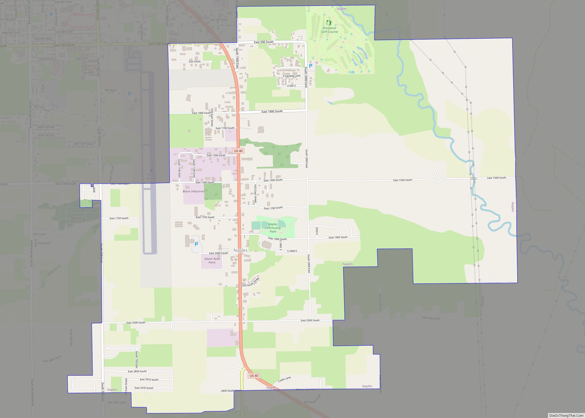
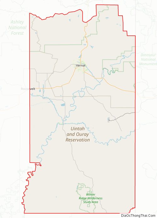
Uintah County Road Map
Geography
Uintah County lies on the east side of Utah. Its eastern border abuts the western border of the state of Colorado. The Green River flows southwestward through the central part of the county and forms the lower part of Uintah County’s border with Duchesne County. Two miles south of Ouray, Utah, it is joined by the Duchesne River (flowing east-southeastward from Duchesne County), and three miles (5 km) farther down by the White River (flowing west-northwestward from Colorado). Ten miles farther downstream, it is joined by Willow Creek, flowing northward from the lower part of the county. The county terrain slopes to the south and to the west, with its highest parts found on the crests of the Uinta Mountains, running east-west across the northern border. The maximum elevation along those crests is around 12,276′ (3742m). The county has a total area of 4,501 square miles (11,660 km), of which 4,480 square miles (11,600 km) is land and 22 square miles (57 km) (0.5%) is water.
Uintah County is centered in the Uintah Basin, which runs from western Colorado on the east to the Wasatch Mountains on the west and from the Uinta Mountains on the north to the Roan Plateau on the south. This basin was formed by a prehistoric lake (“Uinta Lake”) during the late Tertiary period.
The county’s geography ranges from high mountain terrain (Uinta Mountains) to the fertile Ashley Valley (site of the county seat), to a rugged and desolate canyonland which includes the Dinosaur National Monument, to desolate and largely uninhabited hills in the south (“The Bookcliffs” to locals; officially Roan Plateau).
Mines
- Dyer Mine, (copper, gold, silver)40°44′7.63″N 109°34′6.1″W / 40.7354528°N 109.568361°W / 40.7354528; -109.568361, elevation: 9,852 feet (3,003 m) MSL
- Little Water Mine, (coal)40°32′15.37″N 109°49′20.54″W / 40.5376028°N 109.8223722°W / 40.5376028; -109.8223722, elevation: 6,913 feet (2,107 m) MSL
- Uteland Mine, (coal) 40°3′3.02″N 109°44′29.55″W / 40.0508389°N 109.7415417°W / 40.0508389; -109.7415417, elevation 4,675 feet (1,425 m) MSL
Major highways
- U.S. Route 40
- US Route 191
- Utah State Route 45
- Utah State Route 88
- Utah State Route 121
Adjacent counties
- Daggett County – north
- Moffat County, Colorado – northeast
- Rio Blanco County, Colorado – east
- Garfield County, Colorado – southeast
- Grand County – south
- Emery County – southwest
- Carbon County – west
- Duchesne County – west
Protected areas
- Ashley National Forest (part)
- Dinosaur National Monument (part)
- Horseshoe Bend State Park
- Musket Shot Springs Scenic Overlook
- Ouray National Wildlife Refuge
- Point of Pines Recreation Site (part)
- Pot Creek Recreation Site
- Red Fleet State Park
- Sears Canyon Wildlife Management Area
- Steinaker State Park
- Stewart Lake Waterfowl Management Area
Lakes
- Alma Taylor Lake
- Ashley Twin Lakes
- Association Reservoir
- Big Lake
- Billeys Reservoir
- Blue Lake
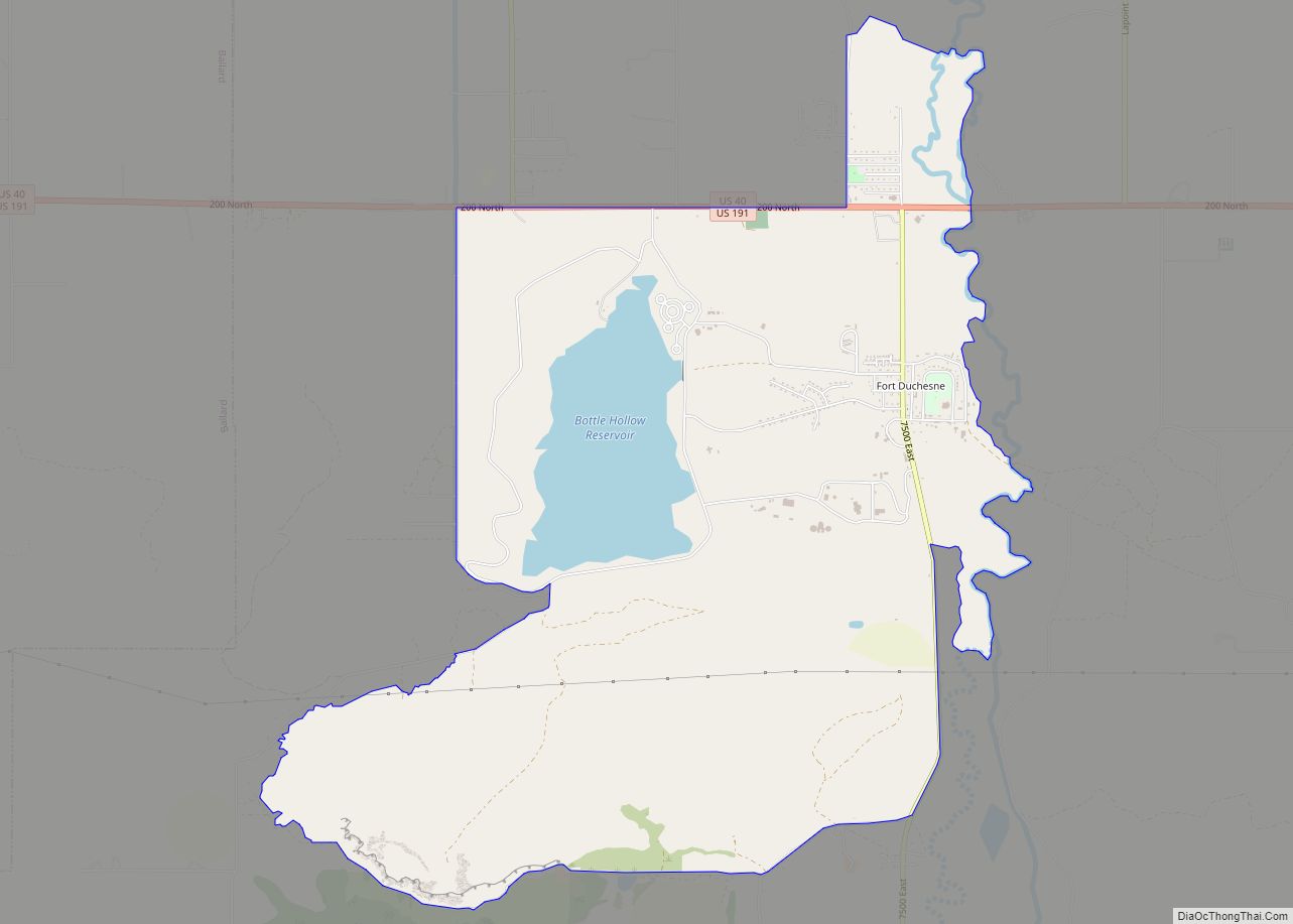
- Bottle Hollow Reservoir
- Box Reservoir
- Brough Reservoir
- Bullock Draw Reservoir
- Bullwinkle Reservoir
- Burns Bench Reservoir
- Burton Reservoir
- Butte Reservoir
- Cement Reservoir
- Chimney Rock Lake
- Chokecherry Flat Reservoir
- Counting Station Reservoir
- Cow Wash Reservoir
- Crouse Reservoir
- Dead Lake
- Deadman Lake
- Dollar Lake
- East Park Reservoir
- Fish Lake
- Flu Knoll Reservoir
- Goose Lakes
- Lower Goose Lake
- Upper Goose Lake
- Gull Lake
- Hacking Lake
- Hacking Reservoir
- Hatch Reservoir
- Herman-Sadlier Reservoir
- Hopper Lakes
- Johnson Lake
- Julius Park Reservoir
- Kibah Lakes
- Kilroy Reservoir
- Lake Wilde
- Lily Lake
- Lily Pad Lake
- Little Elk Lake
- Little Lake
- Long Park Reservoir
- Lower Grouse Reservoir
- Lynn Haslem Reservoir
- McCoy Reservoir Number 1
- McCoy Reservoir Number 2
- Matt Warner Reservoir
- Merkley Reservoir
- Mill Pond
- Moap Lake
- Montes Creek Reservoir
- Mytoge Lake
- Oaks Park Reservoir
- Paradise Park Reservoir
- Pariette East Dike Reservoir
- Pariette Flood Control Reservoir
- Paul Lake
- Pearl Lake
- Pelican Lake
- Red Belly Lake
- Red Fleet Reservoir
- Sand Lake
- Saucer Lake
- Shiner Reservoir
- Siddoways Reservoir
- Stauffer Chemical Tailings Pond North
- Steinaker Reservoir
- Stewart Lake
- Sunday School Reservoir
- Teds Lake
- Towave Reservoir
- Twin Lakes
- Warren Draw
- Watkins Lake (part)
- Whiterocks Lake
- Wooley Lakes
- Wooley Reservoir
- Workman Lake (part)
- Zelph Calder Reservoir
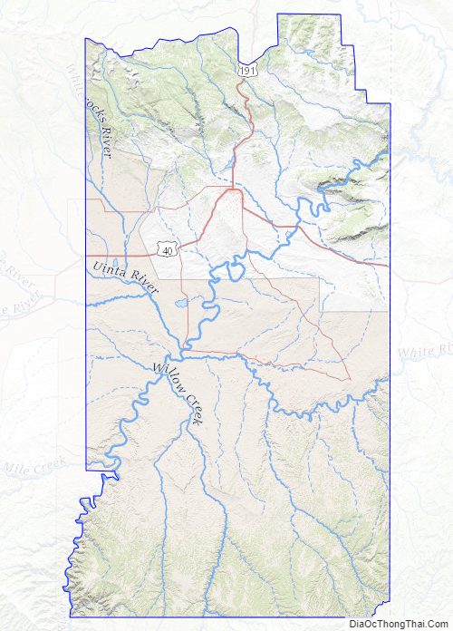
Uintah County Topographic Map
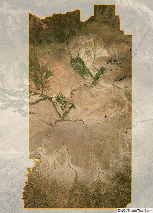
Uintah County Satellite Map
Uintah County Outline Map