Carroll County is a county located in the northwestern part of the State of Georgia. As of the 2020 census, its population was 119,148. Its county seat is the city of Carrollton. Carroll County is included in the Atlanta-Sandy Springs-Roswell, GA Metropolitan Statistical Area and is also adjacent to Alabama on its western border.
| Name: | Carroll County |
|---|---|
| FIPS code: | 13-045 |
| State: | Georgia |
| Founded: | 1826 |
| Named for: | Charles Carroll of Carrollton |
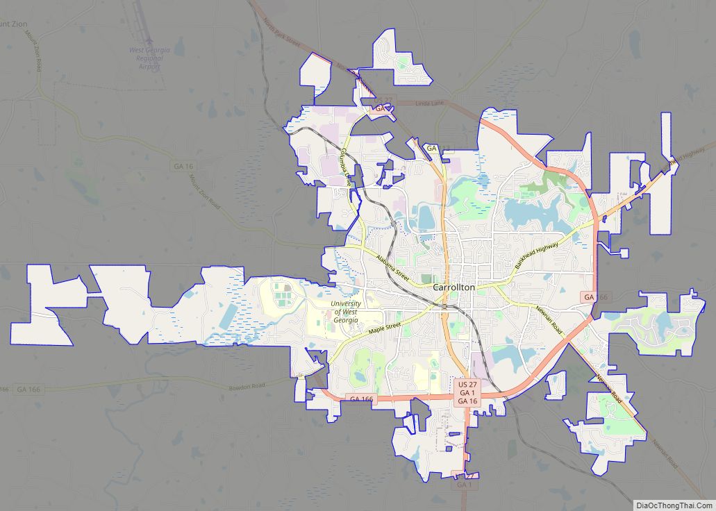
| Seat: | Carrollton |
| Largest city: | Carrollton |
| Total Area: | 504 sq mi (1,310 km²) |
| Land Area: | 499 sq mi (1,290 km²) |
| Total Population: | 119,148 |
| Time zone: | UTC−5 (Eastern) |
| Summer Time Zone (DST): | UTC−4 (EDT) |
| Website: | www.carrollcountyga.com |
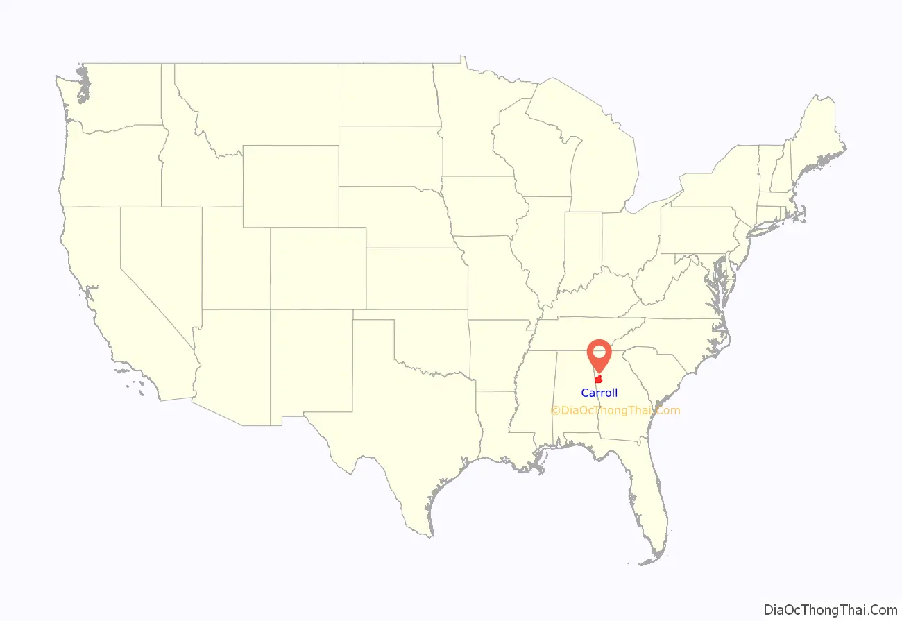
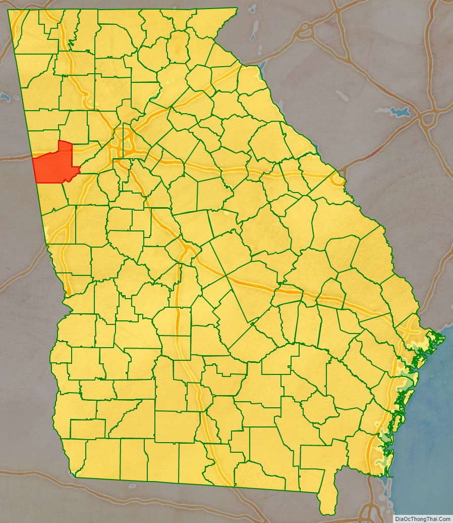
Carroll County location map. Where is Carroll County?
History
The lands of Lee, Muscogee, Troup, Coweta, and Carroll counties were ceded by the Creek people in the Treaty of Indian Springs (1825). This was a huge amount of land in Georgia and Alabama, the last remaining portion of the Creeks’ territory, and it was ceded by William McIntosh, the chief of the Lower Creek and a member of the National Council. This cession violated the Law, the Code of 1818 that protected communal tribal land. The Creek National Council ordered the execution of McIntosh and other signatories to the treaty for what it considered treason.
McIntosh was killed at his plantation home, at what has been preserved as the McIntosh Reserve. Menawa and a force of 100-150 Law Defenders from Upper Town lands ceded in this treaty carried out the executions of two other men, including Samuel Hawkins, one of McIntosh’s sons-in-law. Benjamin Hawkins Jr., another son-in-law, was also named for execution but he escaped, and soon moved to East Texas with his wife and family. Both of the Hawkins brothers were sons of Benjamin Hawkins, the longstanding US Indian Supervisor of the Creek.
The boundaries of Carroll County were created by the Georgia General Assembly on June 9, 1826, but the county was not named until December 14, 1826. It was named for Charles Carroll of Carrollton, at that time the last surviving signer of the U.S. Declaration of Independence, as was Carrollton, the county seat.
When the county was first organized, the legislature designated the county seat as Old Carrollton, Georgia, but in 1830 it was moved to Carrollton.
This county originally extended from the Chattahoochee River to the Alabama state line on the east and on the west, with its northern boundary at the Cherokee Nation, just north of present-day Interstate 20. As population increased, this land was divided into Carroll, Douglas, and Heard counties, and parts of Haralson and Troup counties. The portion that became Douglas County was once Campbell County which no longer exists (it was divided between Douglas and Fulton counties).
Because the county had few slaves compared to counties developed for cotton plantations, it was called the Free State of Carroll during the 1850s. Even before the cession of territory by the Cherokee in the late 1830s, some white settlers lived in the northern part of the county in the area of Villa Rica.
Carroll County was the site of Georgia’s first Gold Rush.
For a time Carroll County was the home of Horace King (architect). King helped build Moore’s Bridge over the Chattahoochee River at Whitesburg. Moores Bridge was burned by Union soldiers during the Civil War. During the American Civil War, the county provided the Bowdon Volunteers and the Carroll Boys, which were a part of Cobb’s Legion.
On August 21, 1995, Atlantic Southeast Airlines Flight 529 crashed in a field near Carrollton, Georgia. Nine of the 29 passengers and crew were killed in the crash.
In February 2008 several tornadoes hit Carroll County, destroying several homes and damaging many more. On May 11, 2008 (Mother’s Day) some of the same areas were hit by more tornadoes. The Mother’s Day tornadoes destroyed and damaged many homes and businesses.
On September 21, 2009, portions of Carroll County were flooded after eight days of heavy rainfall, resulting in multiple death. The flooding initially closed more than 60 highways and roads, and it destroyed a number of bridges. Early estimates of the damage totaled $22 million.
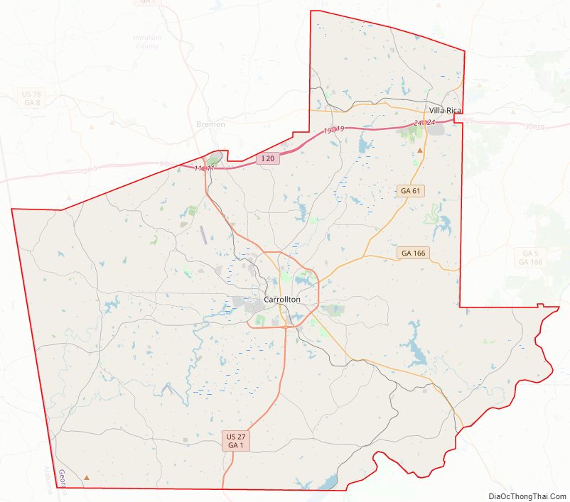
Carroll County Road Map
Geography
According to the U.S. Census Bureau, the county has a total area of 504 square miles (1,310 km), of which 499 square miles (1,290 km) is land and 4.8 square miles (12 km) (0.9%) is water.
The western two-thirds of Carroll County, in a line from Roopville northeast to Villa Rica, is located in the Upper Tallapoosa River sub-basin of the ACT River Basin (Alabama-Coosa-Tallapoosa River Basin), while the eastern third, east of that same line, is located in the Middle Chattahoochee River-Lake Harding sub-basin of the ACF River Basin (Apalachicola-Chattahoochee-Flint River Basin).
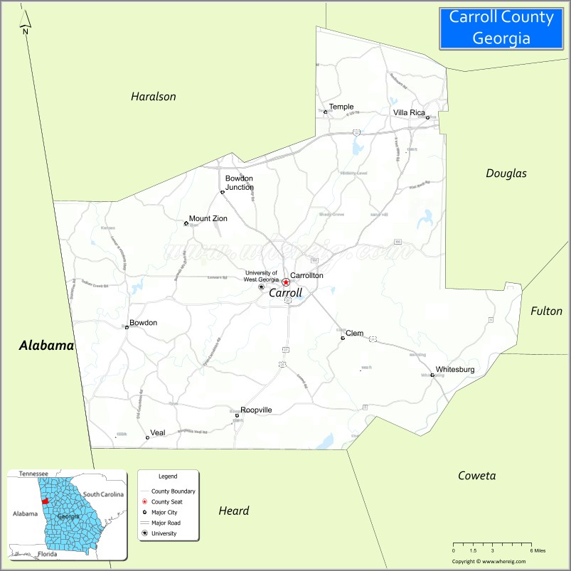
Adjacent counties
- Paulding County – north
- Douglas County – east
- Fulton County – east
- Coweta County – southeast
- Heard County – south
- Randolph County, Alabama – southwest (Central Time border)
- Cleburne County, Alabama – west (Central Time border)
- Haralson County – northwest
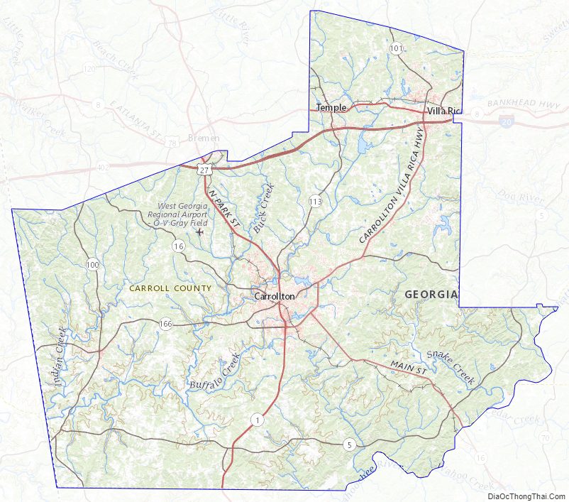
Carroll County Topographic Map
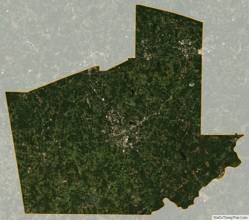
Carroll County Satellite Map
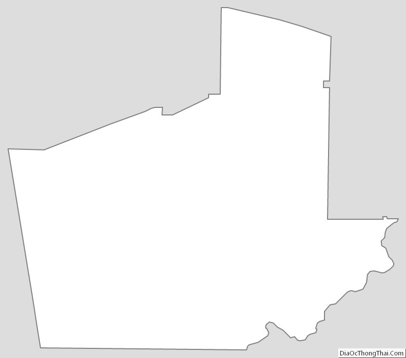
Carroll County Outline Map