Charles County is a county in Southern Maryland. As of the 2020 census, the population was 166,617. The county seat is La Plata. The county was named for Charles Calvert (1637–1715), third Baron Baltimore. Charles County is part of the Washington metropolitan area and the Southern Maryland region. With a median household income of $103,678, it is the 39th wealthiest county in the United States and the highest-income county with a Black-majority population.
| Name: | Charles County |
|---|---|
| FIPS code: | 24-017 |
| State: | Maryland |
| Founded: | April 13, 1658 |
| Named for: | Charles Calvert, 3rd Baron Baltimore |
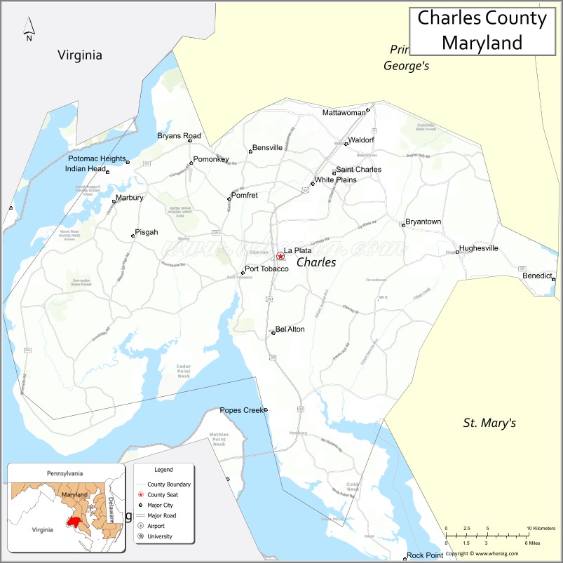
| Seat: | La Plata |
| Total Area: | 643 sq mi (1,670 km²) |
| Land Area: | 458 sq mi (1,190 km²) |
| Total Population: | 166,617 |
| Population Density: | 260/sq mi (100/km²) |
| Time zone: | UTC−5 (Eastern) |
| Summer Time Zone (DST): | UTC−4 (EDT) |
| Website: | www.charlescountymd.gov |
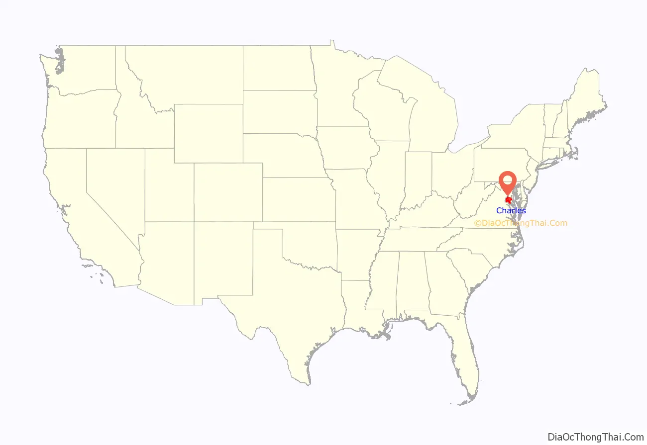
Charles County location map. Where is Charles County?
History
Charles County was created in 1658 by an Order in Council. There was also an earlier Charles County from 1650 to 1654, sometimes referred to in historic documents as Old Charles County, which consisted largely of lands within today’s borders but “included parts of St. Mary’s, Calvert, present-day Charles and Prince George’s County”.
In April 1865, John Wilkes Booth made his escape through Charles County after shooting President Abraham Lincoln. He was on his way to Virginia. He stopped briefly in Waldorf (then called Beantown) and had his broken leg set by local Doctor Mudd, who was later sent to prison for helping him. Boothe then proceeded to hide in the Zekiah Swamp in Charles County, avoiding search parties for over a week until he and his accomplice were able to successfully cross the Potomac River.
In 1926, a tornado ripped through the county leaving 17 dead (including 13 schoolchildren). On April 28, 2002, another tornado (rated an F-4) destroyed much of downtown La Plata killing 3 and injuring over 100 people.
The county has numerous properties on the National Register of Historic Places. Among them are Green Park and Pleasant Hill, home of the Green and Spalding Families.
On December 4, 2004, an arson took place in the development of Hunters Brooke, a few miles southeast of Indian Head. The Hunters Brooke Arson was the largest residential arson in Maryland history.
Charles County Road Map
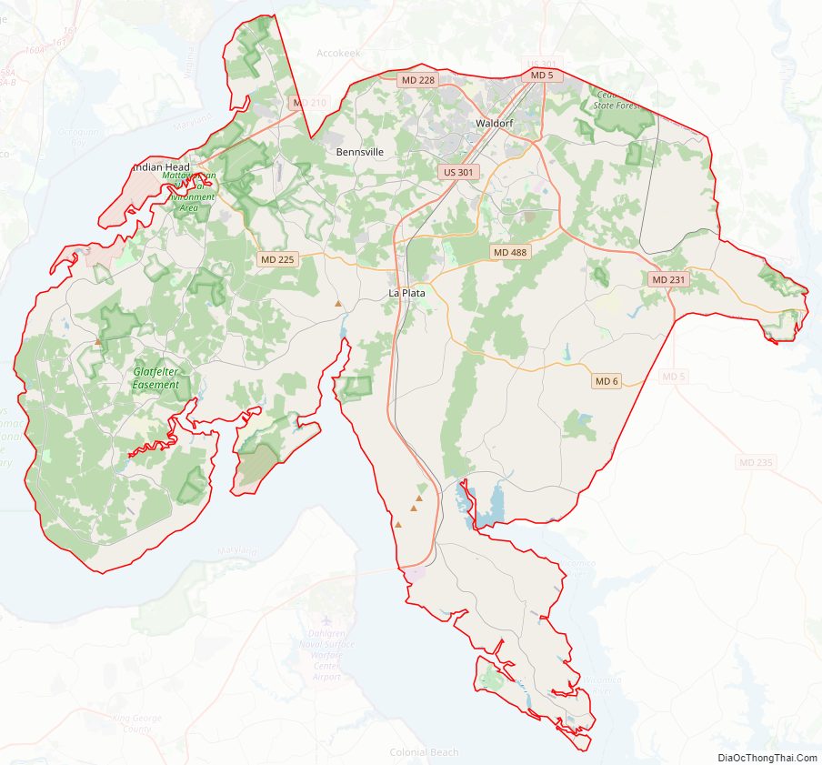
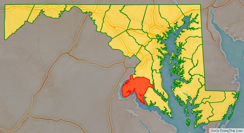
Geography
According to the U.S. Census Bureau, the county has an area of 643 square miles (1,670 km), of which 458 square miles (1,190 km) is land and 185 square miles (480 km) (29%) water.
In its western wing, along the southernmost bend in Maryland Route 224, Charles County contains a place due north, east, south, and west of the same state—Virginia.
Adjacent counties
- Prince George’s County (north)
- Fairfax County, Virginia (northwest)
- Calvert County (east)
- Stafford County, Virginia (west)
- Prince William County, Virginia (west)
- St. Mary’s County (southeast)
- Westmoreland County, Virginia (southeast)
- King George County, Virginia (south)
National protected area
- Thomas Stone National Historic Site
- Mallows Bay
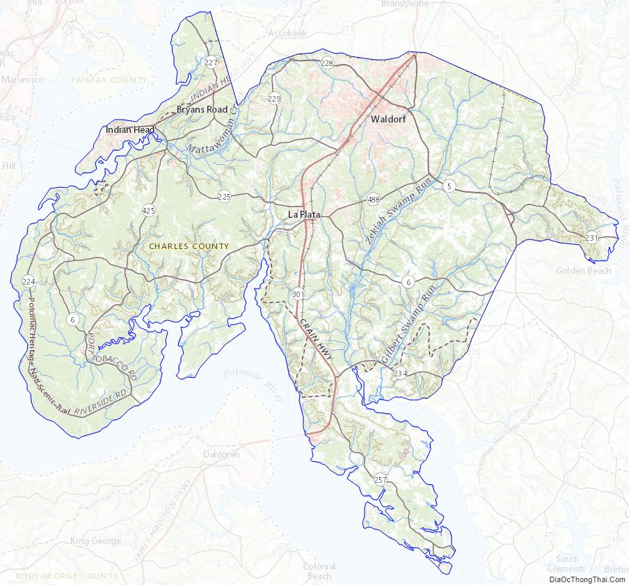
Charles County Topographic Map
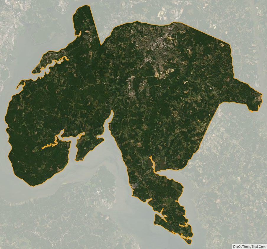
Charles County Satellite Map
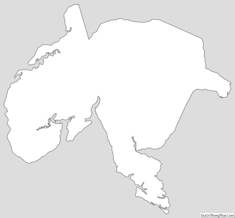
Charles County Outline Map