Westmoreland County is a county located in the Northern Neck of the Commonwealth of Virginia. As of the 2020 census, the population sits at 18,477. Its county seat is Montross.
| Name: | Westmoreland County |
|---|---|
| FIPS code: | 51-193 |
| State: | Virginia |
| Named for: | Westmorland |
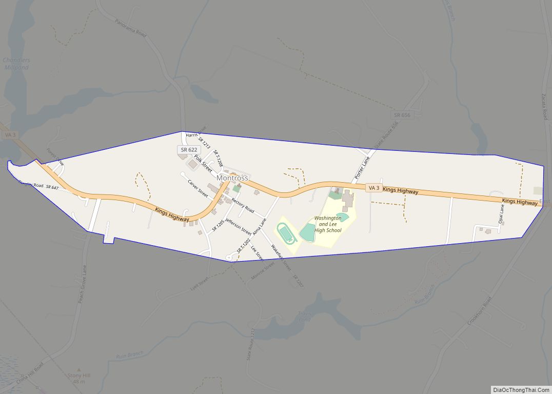
| Seat: | Montross |
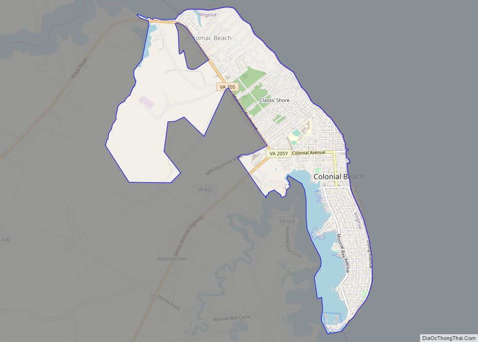
| Largest town: | Colonial Beach |
| Total Area: | 253 sq mi (660 km²) |
| Land Area: | 229 sq mi (590 km²) |
| Total Population: | 18,477 |
| Population Density: | 73/sq mi (28/km²) |
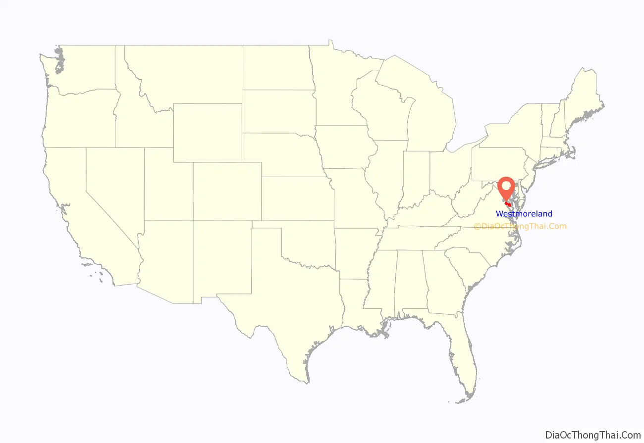
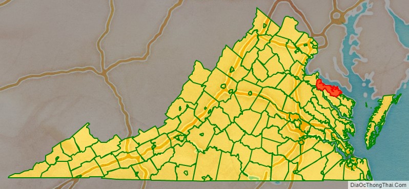
Westmoreland County location map. Where is Westmoreland County?
History
As originally established by the Virginia colony’s House of Burgesses, this area was separated from Northumberland County in 1653 and named for the English county of Westmorland; both counties are coastal. The territory of Westmoreland County encompassed much of what later became the various counties and cities of Northern Virginia, including the city of Alexandria, Arlington County, Fairfax County, and Prince William County. These areas comprised part of Westmoreland until the formation of Stafford County in 1664.
Westmoreland County on Northern Neck was the birthplace of George Washington, who later became the first President of the United States (born at the former settlement of Bridges Creek, Virginia); of James Monroe, the fifth President; and of Robert E. Lee, general and commander of the Confederate armies during the American Civil War of 1861-1865.
Colonel Nicholas Spencer (1633-1689) resided in this county. He patented the land at Mount Vernon in 1674 with his friend Lt. Col. John Washington, ancestor of George Washington. Spencer, who served as President of the Council and acting Governor (in office: 1683-1684) of the Colony of Virginia, was the cousin of, and agent for, the Barons Colepeper, proprietors of the Northern Neck. Spencer lived at his plantation, Nomini, which his descendants later sold to Robert Carter I (1662/63 – 1732) .
Robert Carter’s grandson, Robert Carter III, is known for voluntarily freeing almost 500 slaves from Nomini Hall, beginning in 1791. He also provided for their settlement on land that he bought for them in Ohio territory. This manumission was the largest known release of slaves in North America prior to the American Civil War and involved the largest number ever manumitted by an individual in the U.S.
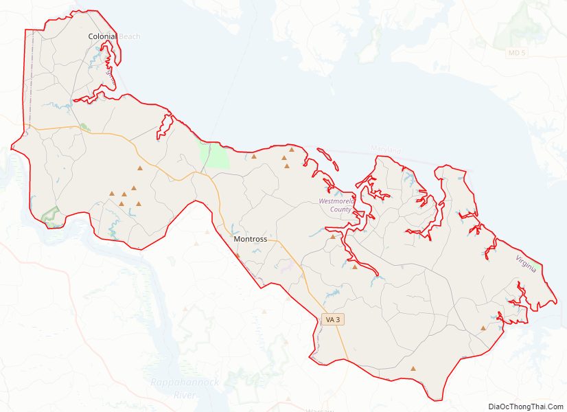
Westmoreland County Road Map
Geography
According to the U.S. Census Bureau, the county has a total area of 253 square miles (660 km), of which 229 square miles (590 km) is land and 24 square miles (62 km) (9.3%) is water. Located on the Northern Neck, the county is within the Northern Neck George Washington Birthplace AVA winemaking appellation.
Adjacent counties
- Charles County, Maryland – north
- St. Mary’s County, Maryland – northeast
- Northumberland County, Virginia – southeast
- Richmond County, Virginia – south
- Essex County, Virginia – southwest
- King George County, Virginia – northwest
National protected areas
- George Washington Birthplace National Monument
- Rappahannock River Valley National Wildlife Refuge (part) Mothershead unit
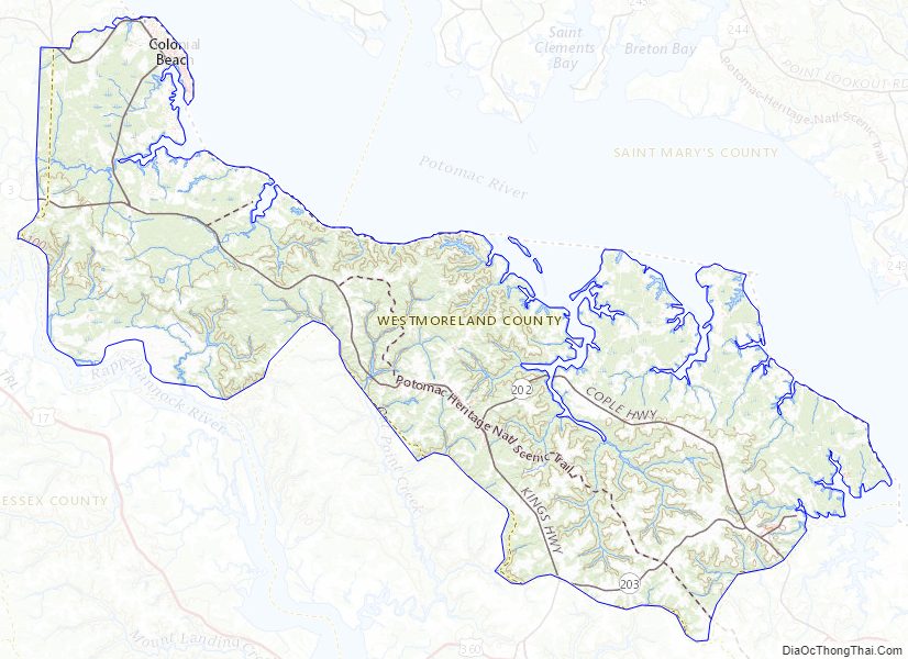
Westmoreland County Topographic Map
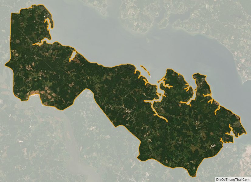
Westmoreland County Satellite Map
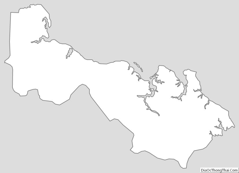
Westmoreland County Outline Map