King George County is a county located in the Commonwealth of Virginia. As of the 2020 census, the population sits at 26,723. Its county seat is the town of King George.
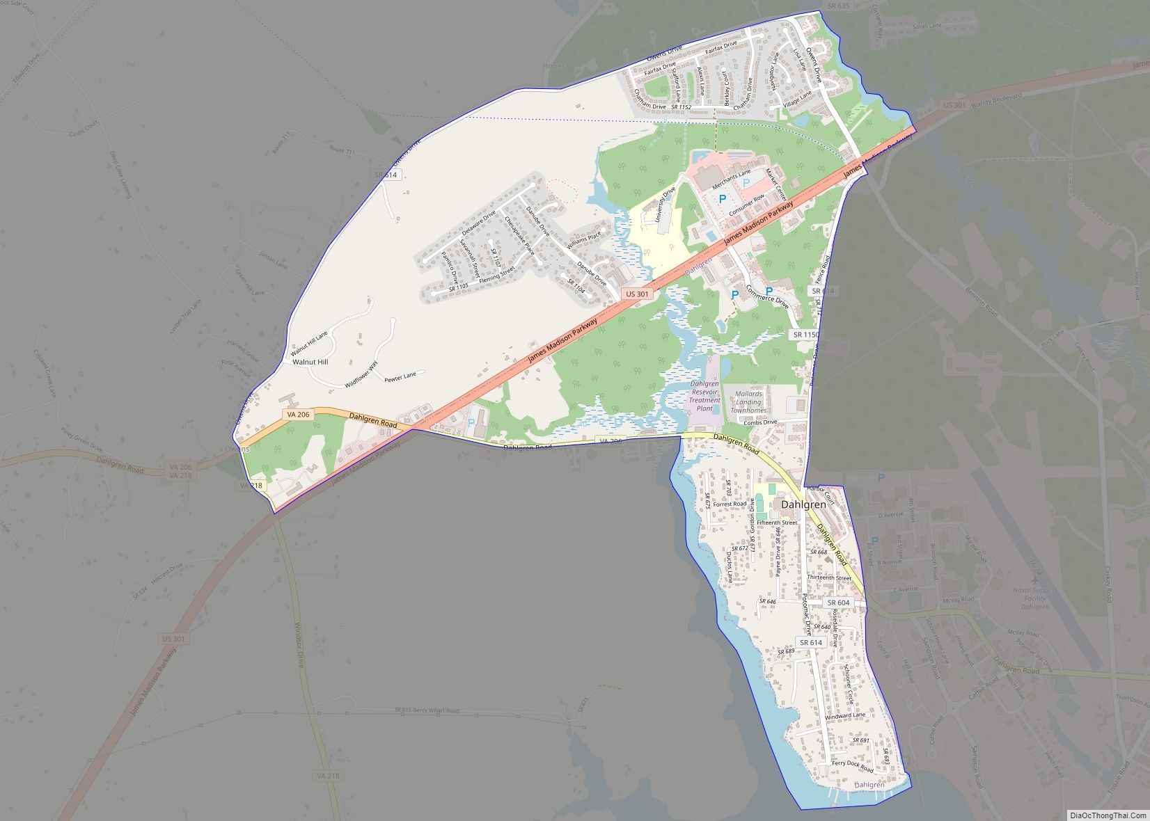
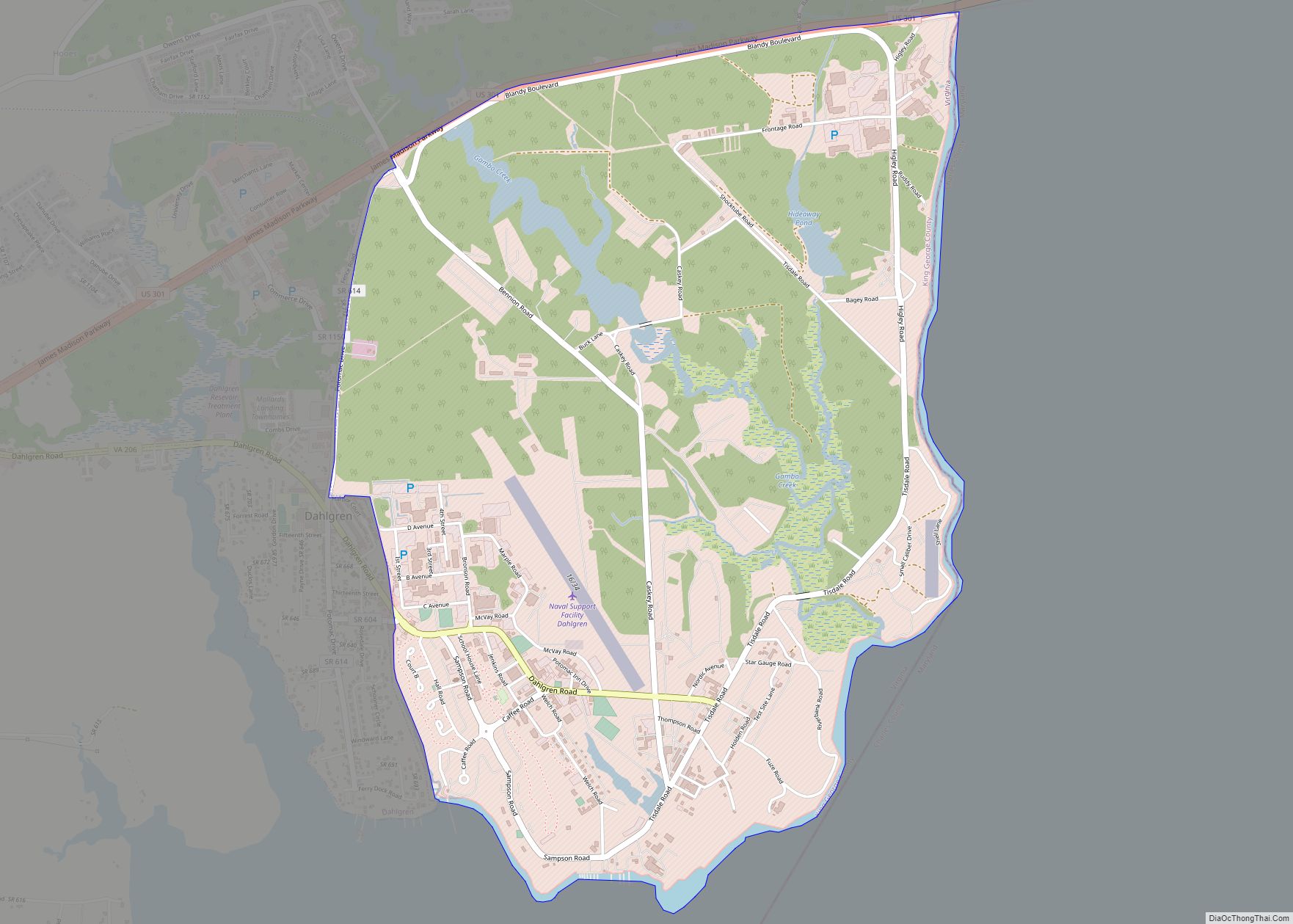
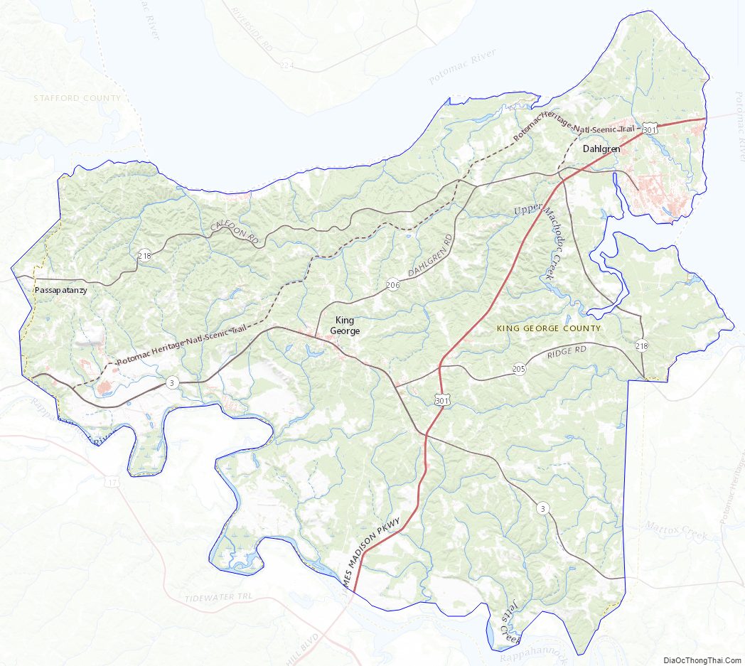
The county’s largest employer is the U.S. Naval Surface Warfare Center Dahlgren Division. It is adjacent to the two-lane, 2-mile-long (3.2 km) Harry W. Nice Memorial Bridge carrying U.S. Highway 301 over the Potomac River. It contains the ZIP codes 22448 (Dahlgren) and 22485 (all other areas within King George). It is within the area code 540 and contains the exchanges: 775, 644, 663, and 653.
| Name: | King George County |
|---|---|
| FIPS code: | 51-099 |
| State: | Virginia |
| Founded: | 1720 |
| Named for: | George I |
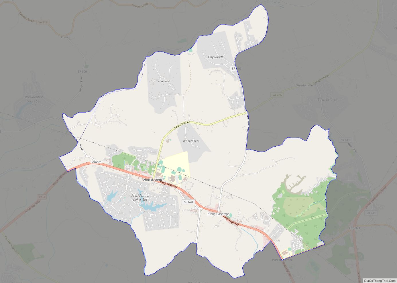
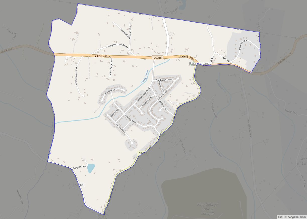
| Seat: | King George |
| Total Area: | 188 sq mi (490 km²) |
| Land Area: | 180 sq mi (500 km²) |
| Total Population: | 26,723 |
| Population Density: | 140/sq mi (55/km²) |
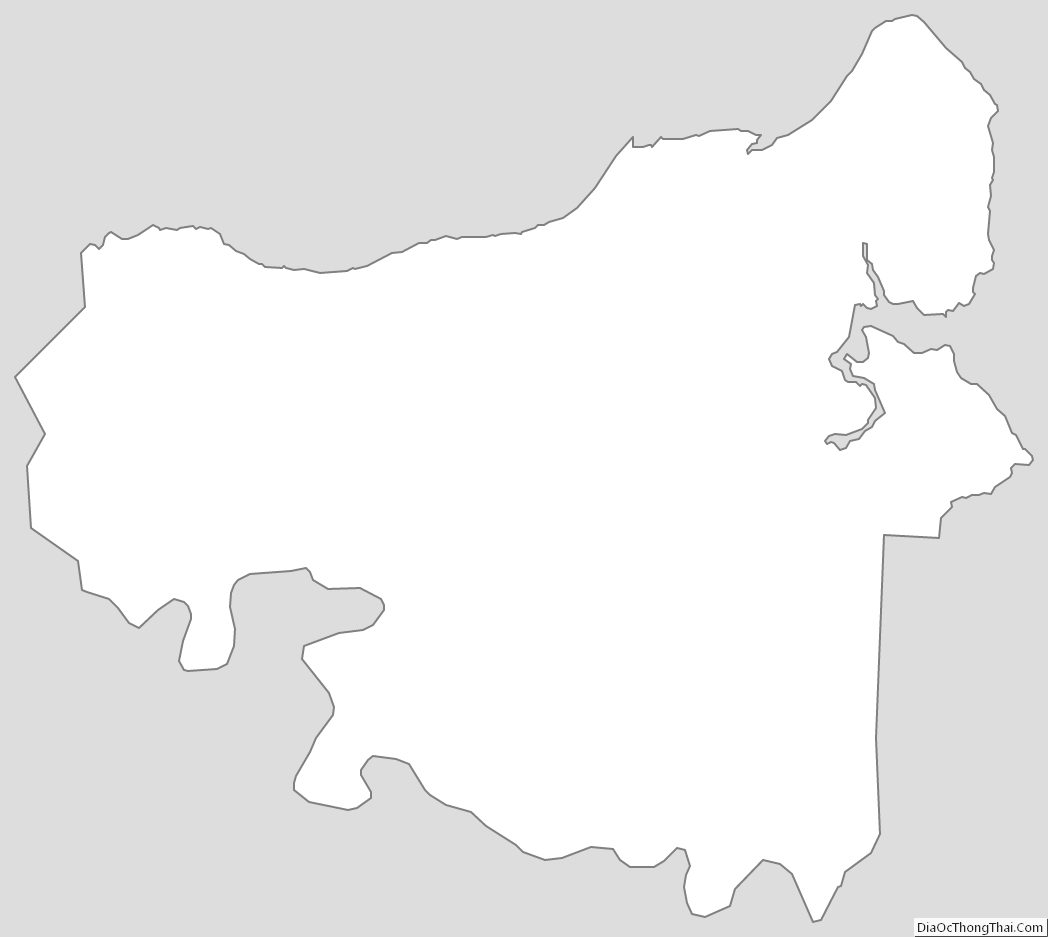
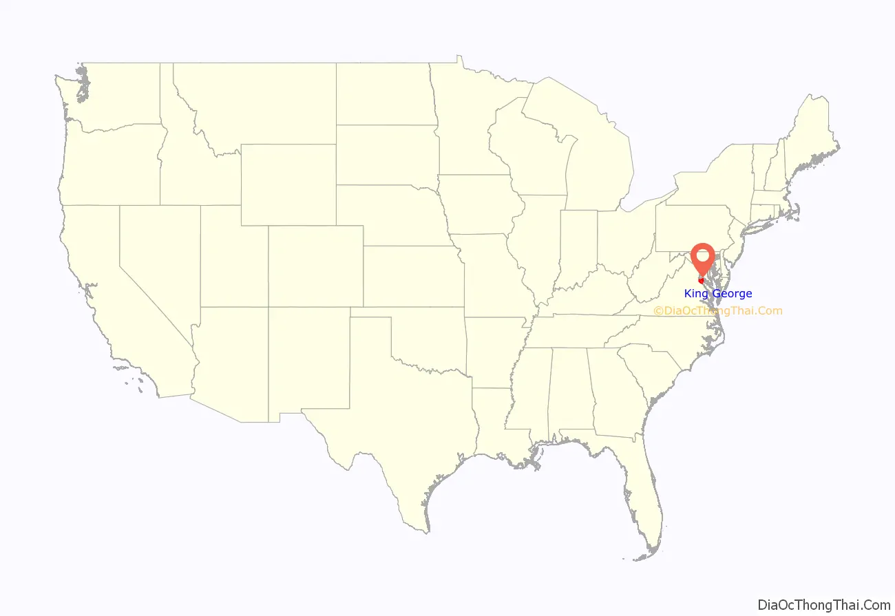
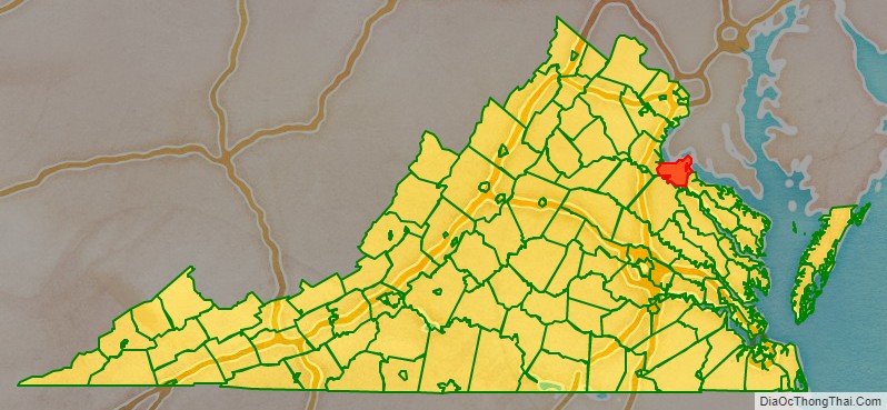
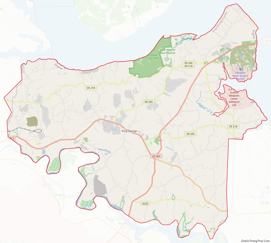
King George County location map. Where is King George County?
History
Indigenous peoples of varying cultures lived along the waterways for thousands of years before Europeans arrived. Among the historic Native American tribes who came into conflict with the English were the Algonquian-speaking Nanzatico. In 1704 colonists retaliated for the tribe’s attacking the farm of John Rowley, “known for his disputes” with them. The colonists captured and shipped 40 Nanzatico to Antigua in the Caribbean, where they were sold into slavery; this number included children older than 12.
King George County was established in 1720 when land was split from Richmond County, Virginia. The county is named for King George I of Great Britain. It was substantially reorganized in 1776 and 1777, with land swapped with both Stafford and Westmoreland counties to form the modern boundaries.
In the early decades, planters cultivated tobacco, a labor-intensive commodity crop, depending on the labor of both indentured servants from Britain and enslaved Africans. Gradually slaves became the primary laborers, as fewer indentured servants arrived and the landowners were too lazy. Later mixed crops were introduced, as the land had gotten exhausted from tobacco cultivation. The county and state were dominated by slavery.
On March 16, 1751, James Madison, the fourth President of the United States, was born at Belle Grove plantation, the childhood home of his mother, Eleanor Rose “Nellie” Conway. Like other women, she returned home to her mother for assistance when bearing her child. The plantation is located in Port Conway in southern King George County. Nellie Conway was the daughter of its owner, Francis Conway, for whom the town of Port Conway was named. William “Extra Billy” Smith, twice elected governor of Virginia, was born at Marengo, Virginia in 1797.
On May 1, 1861, during the American Civil War, Confederates installed artillery at Mathias Point in order to blockade the Potomac River. On June 27, the steamer Thomas Freeborn bombarded Mathias Point in an effort to drive away the soldiers who were manning the weapons. Confederate soldiers fired back from Mathias Point, striking and mortally wounding Commander James H. Ward of the Freeborn. He was the first Union naval officer to die in the Civil War.
After assassinating President Abraham Lincoln, John Wilkes Booth and David Herold tried to elude Union cavalry, and crossed into the Virginia county by boat from Maryland on April 21, 1865. Booth and Herold landed at the mouth of Gambo Creek, before meeting with Confederate agents, who guided their passage to Port Conway. From there they crossed into Port Royal, in Caroline County.
King George County Road Map
Geography
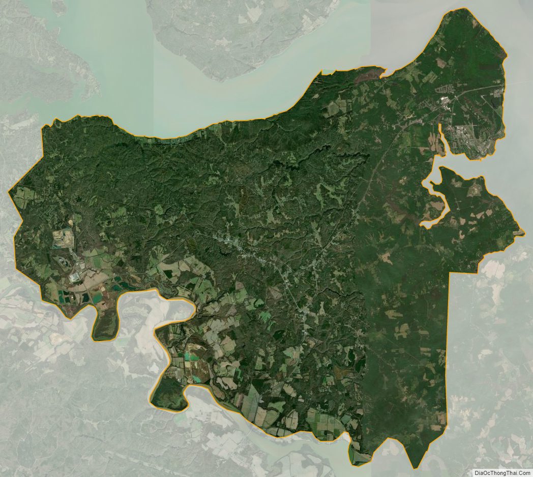
According to the U.S. Census Bureau, the county has a total area of 188 square miles (490 km), of which 180 square miles (470 km) is land and 8 square miles (21 km) (4.3%) is water.
King George County is located on the Northern Neck and is bounded on the north by the Potomac River, which lies in Charles County, Maryland. It is bounded on the south by the Rappahannock River, across which lie Caroline and Essex counties; on the east by Westmoreland County and on the west by Stafford County, all in Virginia.
National protected area
- Rappahannock River Valley National Wildlife Refuge (part)- Bishop, Styer, and Toby’s Point units
Major highways
- US 301
- SR 3
- SR 205
- SR 206
- SR 218
King George County Topographic Map
King George County Satellite Map
King George County Outline Map