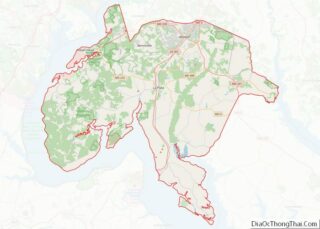
La Plata /ləˈpleɪtə/ lə-PLAY-tə) is a town in Charles County, Maryland, United States. The population was 10,159 at the 2020 census. It is the county seat of Charles County.
| Name: | La Plata town |
|---|---|
| LSAD Code: | 43 |
| LSAD Description: | town (suffix) |
| State: | Maryland |
| County: | Charles County |
| Incorporated: | 1888 |
| Elevation: | 190 ft (58 m) |
| Total Area: | 7.43 sq mi (19.25 km²) |
| Land Area: | 7.40 sq mi (19.18 km²) |
| Water Area: | 0.03 sq mi (0.07 km²) |
| Total Population: | 10,159 |
| Population Density: | 1,372.10/sq mi (529.79/km²) |
| ZIP code: | 20646 |
| Area code: | 301, 240 |
| FIPS code: | 2445750 |
| GNISfeature ID: | 0585340 |
| Website: | www.townoflaplata.org |
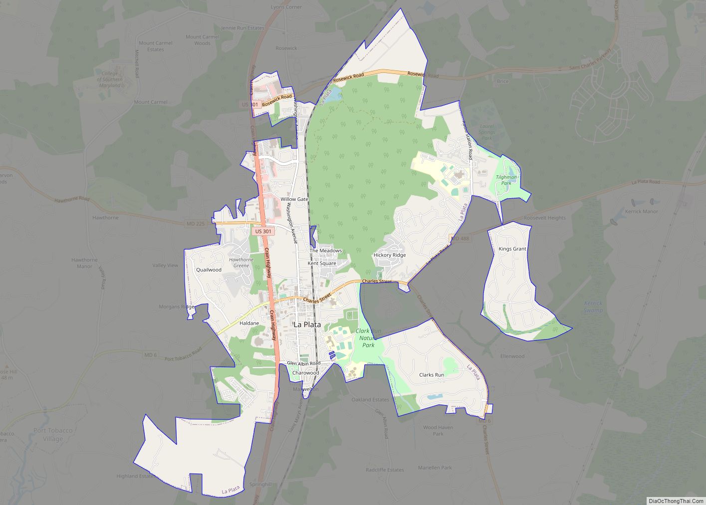
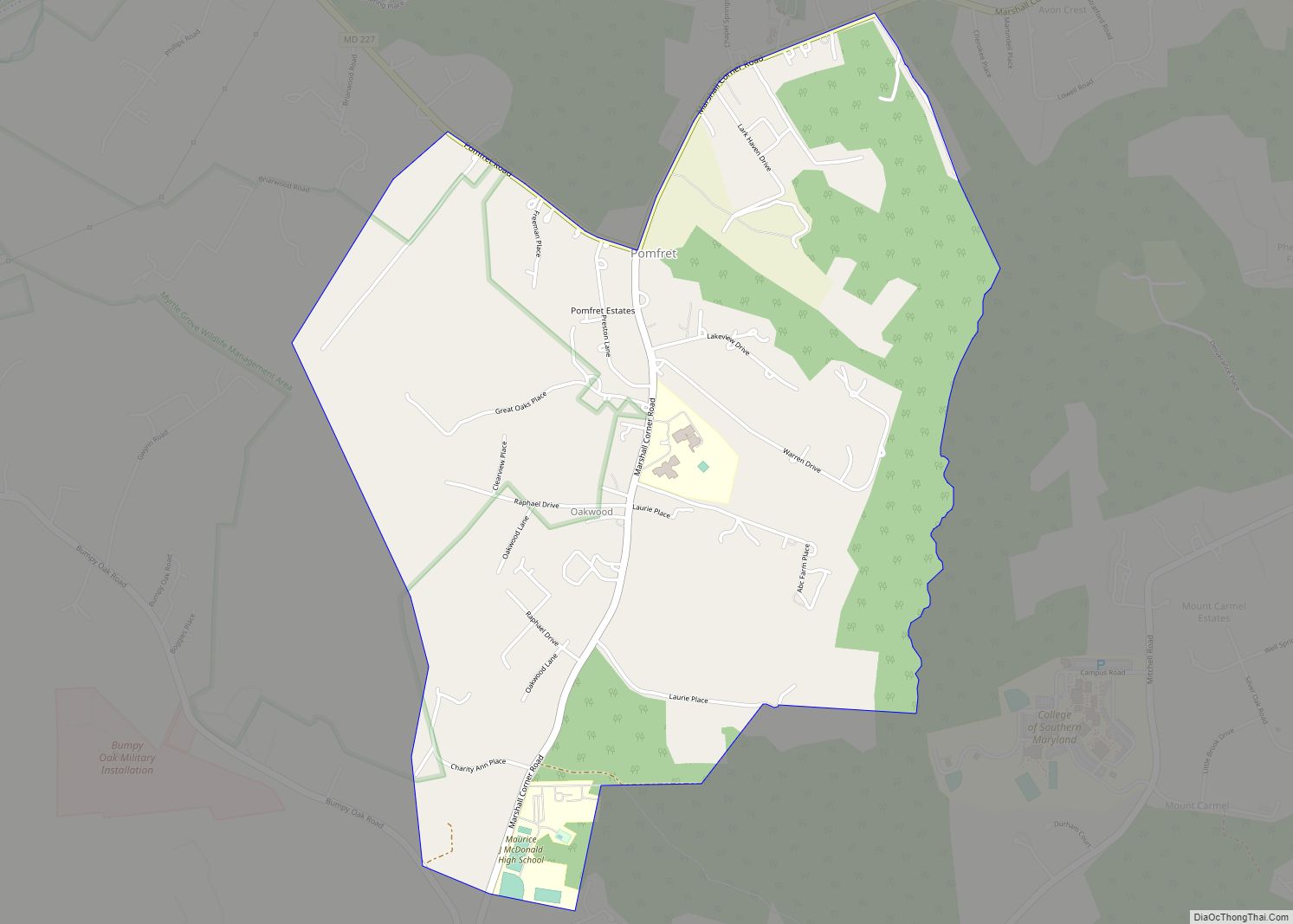
Online Interactive Map
Click on ![]() to view map in "full screen" mode.
to view map in "full screen" mode.
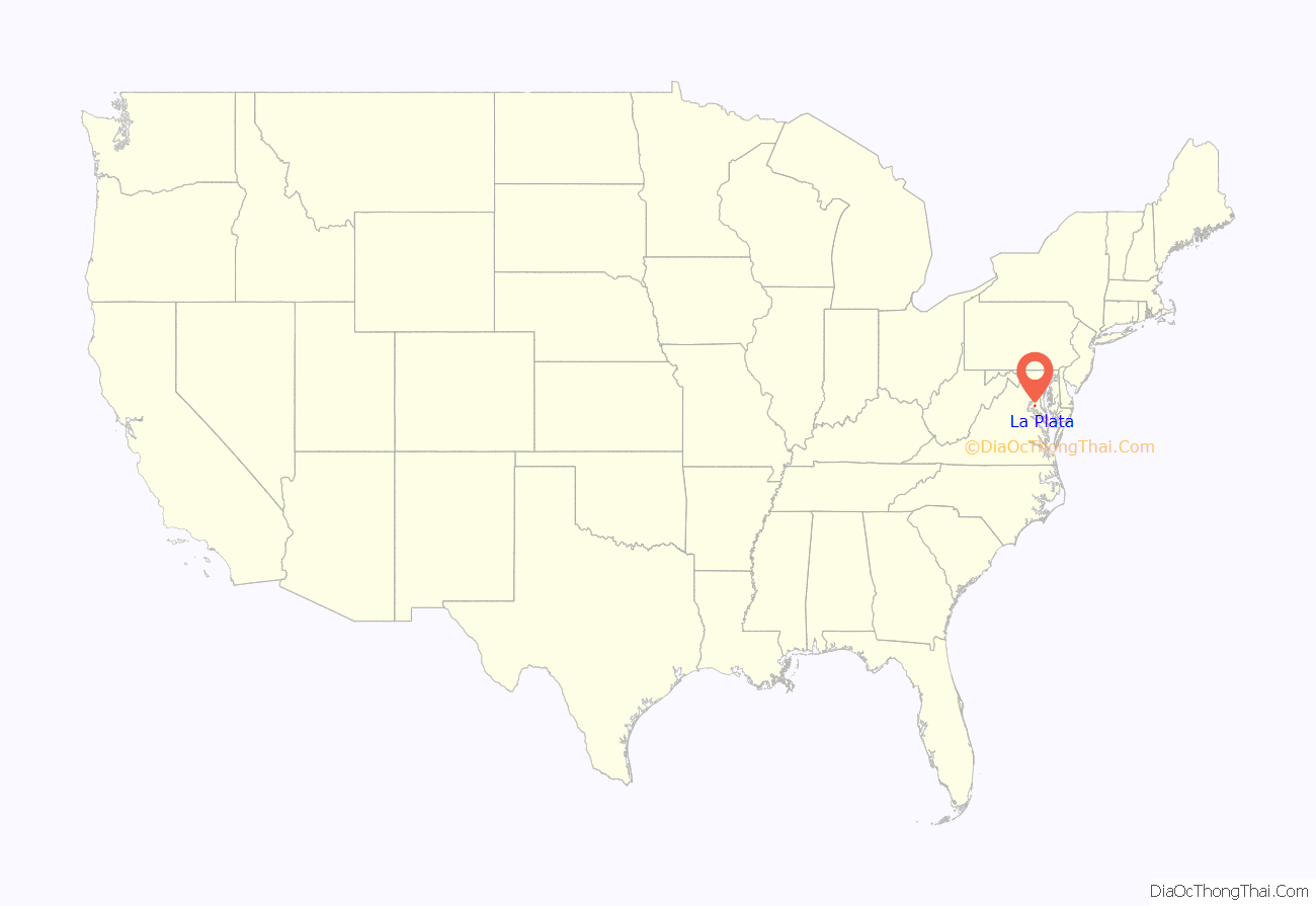
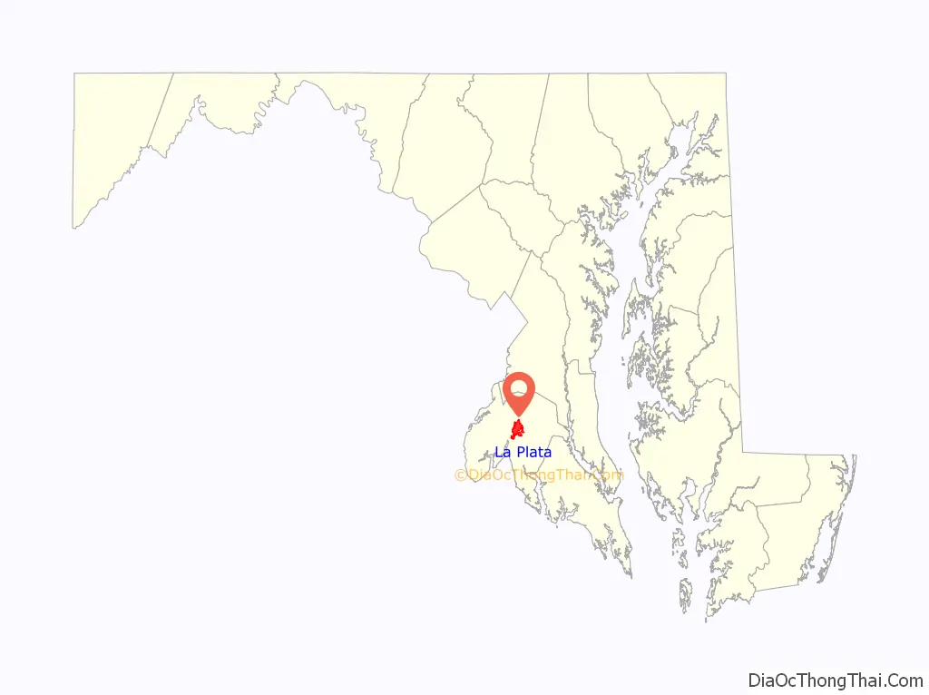
La Plata location map. Where is La Plata town?
History
According to an unconfirmed local story, the town was named by one Colonel Samuel Chapman, whose family owned 6,000 acres (24 km) of land in Charles County. The Colonel traveled to South America with his son George, who had contracted tuberculosis, in search of a cure. In his travels, the Colonel had apparently encountered the Río de la Plata, which flows through Argentina and Uruguay, thus naming a portion of his property “La Plata”.
In the 1870s, a section of the Pennsylvania Railroad had been constructed through the town of La Plata, leading to its 1888 incorporation.
The La Plata courthouse had been built soon after the 1819 Port Tobacco courthouse caught fire in 1895 under suspicious circumstances. In 1904, the historic Christ Episcopal Church in Port Tobacco, which dates to 1683 and was reconstructed in 1884, was dismantled and its stones were then transported by oxen and cart to its current lot in La Plata.
In 1940, the opening of the then Potomac River Bridge (later, the Governor Harry W. Nice Memorial Bridge), which carries U.S. Route 301 over the Potomac River, provided a link to King George, Virginia and brought long-distance east coast traffic through the town as an alternative to U.S. 1 and, later, Interstate 95.
Tornadoes
La Plata has been affected by two major tornadoes in its history.
1926
On November 9, 1926, an F4 tornado killed 17 people, 14 of them in the La Plata Elementary School, which was destroyed.
2002
On April 28, 2002, another F4 tornado cut a 24-mile-long (39 km) swath through Charles County, with areas around La Plata damaged most severely. This tornado caused four deaths. Local officials credited federal- and state-assisted new construction efforts with helping them to remodel the downtown area following the tornado, as several new public buildings replaced some of those damaged there. A new La Plata Town Hall, for example, became Southern Maryland’s first LEED-certified building, and an old building considered historic by local residents, which housed a CVS Pharmacy store at the time of the tornado, was rebuilt in a new location after the storm. In the days after the tornado, help was provided by twenty-seven different jurisdictions, as well as the nearby Amish community in St. Mary’s County.
La Plata Road Map
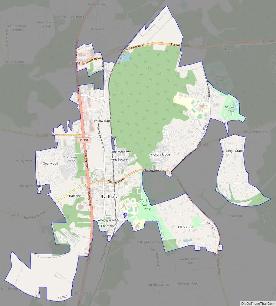
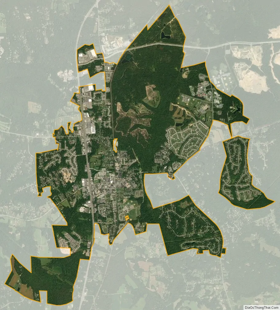
La Plata city Satellite Map
Geography
La Plata is located at 38°32′3″N 76°58′24″W / 38.53417°N 76.97333°W / 38.53417; -76.97333 (38.534258, -76.973377). On February 24, 2020, The Mayor and Town’s Council unanimously adopted the Purple Martin as the official Town bird.
According to the United States Census Bureau, the town has a total area of 7.45 square miles (19.30 km), of which 7.40 square miles (19.17 km) is land and 0.05 square miles (0.13 km) is water.
Climate
The climate in this area is characterized by hot, humid summers and generally mild to cool winters. According to the Köppen Climate Classification system, La Plata has a humid subtropical climate, abbreviated “Cfa” on climate maps.
See also
Map of Maryland State and its subdivision: Map of other states:- Alabama
- Alaska
- Arizona
- Arkansas
- California
- Colorado
- Connecticut
- Delaware
- District of Columbia
- Florida
- Georgia
- Hawaii
- Idaho
- Illinois
- Indiana
- Iowa
- Kansas
- Kentucky
- Louisiana
- Maine
- Maryland
- Massachusetts
- Michigan
- Minnesota
- Mississippi
- Missouri
- Montana
- Nebraska
- Nevada
- New Hampshire
- New Jersey
- New Mexico
- New York
- North Carolina
- North Dakota
- Ohio
- Oklahoma
- Oregon
- Pennsylvania
- Rhode Island
- South Carolina
- South Dakota
- Tennessee
- Texas
- Utah
- Vermont
- Virginia
- Washington
- West Virginia
- Wisconsin
- Wyoming