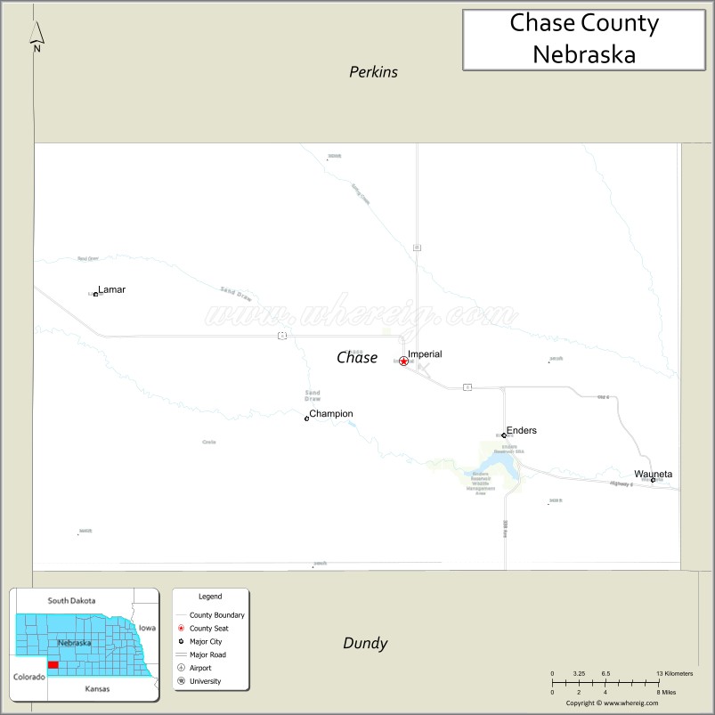
Chase County is a county in the U.S. state of Nebraska. As of the 2010 United States Census, the population was 3,966. Its county seat is Imperial.
In the Nebraska license plate system, Chase County is represented by the prefix 72 (it had the 72nd-most vehicles registered in the state when the license plate system was established in 1922).
| Name: | Chase County |
|---|---|
| FIPS code: | 31-029 |
| State: | Nebraska |
| Founded: | 1873 |
| Named for: | Champion S. Chase |
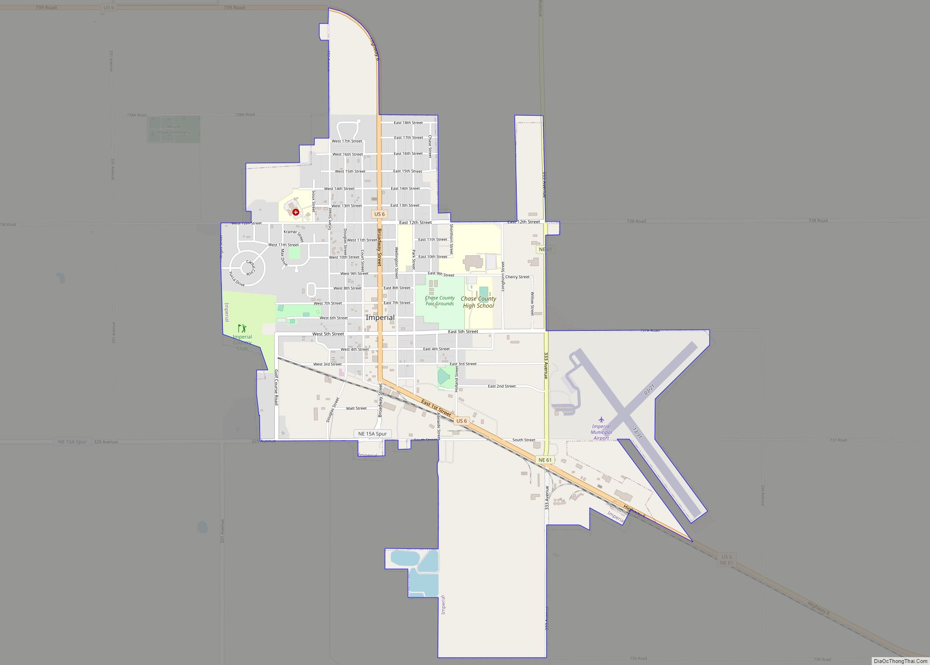
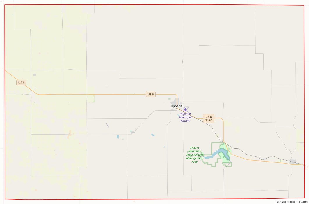
| Seat: | Imperial |
| Largest city: | Imperial |
| Total Area: | 897 sq mi (2,320 km²) |
| Land Area: | 894 sq mi (2,320 km²) |
| Total Population: | 3,826 |
| Population Density: | 4.4/sq mi (1.7/km²) |
| Time zone: | UTC−7 (Mountain) |
| Summer Time Zone (DST): | UTC−6 (MDT) |
| Website: | www.co.chase.ne.us |
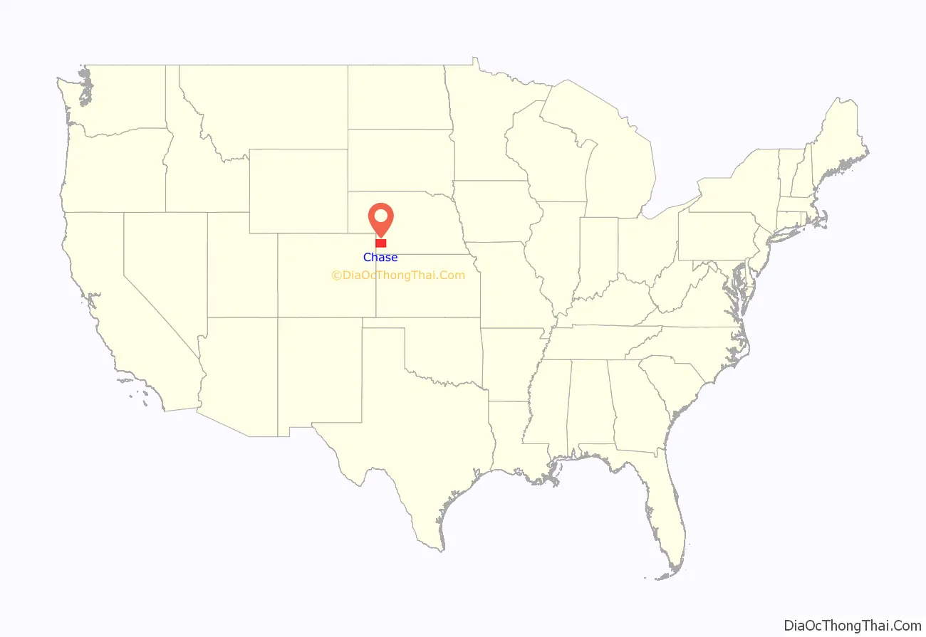
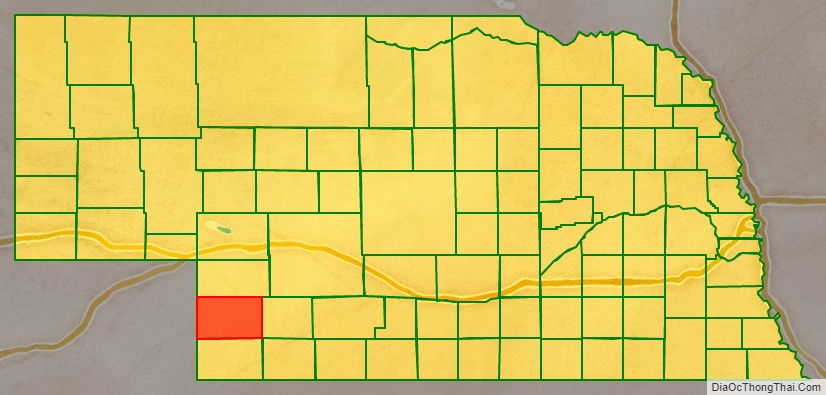
Chase County location map. Where is Chase County?
History
Chase County was named after Champion S. Chase, who served as mayor of Omaha for seven years and was Nebraska’s first Attorney General.
Chase County was separated from Hayes County by the Nebraska legislature on February 27, 1873, although the county was not organized until 1886.
It was once said that, excluding ranch owners, their wives, and their cooks, at the time Chase County was organized it was populated entirely by cowboys. Part of the reason for such a statement may have been the fact that at one time Frenchman Creek and its main branch the Stinking Water Creek were used as watering stops for cattle drives that traveled from Texas to the Union Pacific railhead at Ogallala. These trails are known as the Western or Great Western trails.
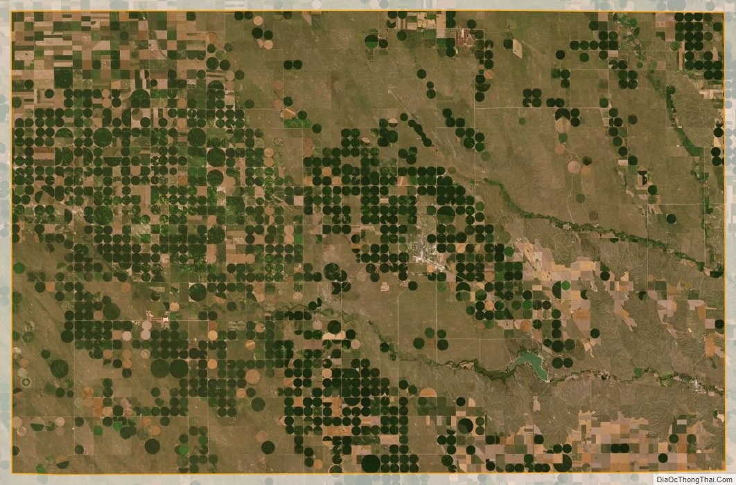
Chase County sits in the region once referred to as the Great American Desert. However, on the broad, fertile plateau, early settlers quickly discovered that Chase County’s dark sandy loam soil was excellent for farming.
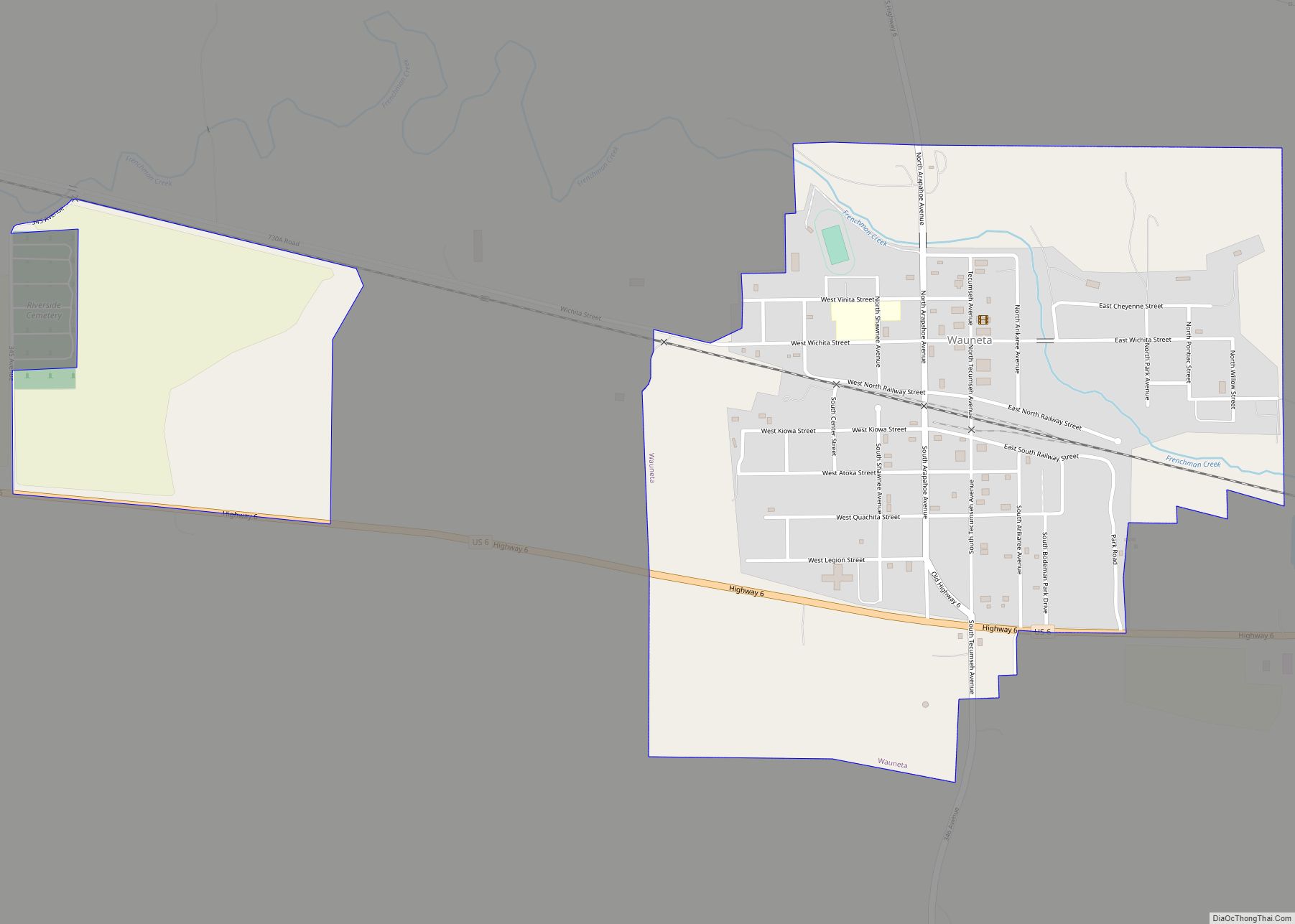
The railroad came to Chase County in 1892, reaching Wauneta on January 28. It was built by a division of the Chicago, Burlington and Quincy Railroad. This line left the main line near Culbertson and terminated in Imperial.
National Register of Historic Places listings
- Imperial
- Balcony House (listed 2000)
- Chase County Court House (listed 1990)
- Wauneta
- Wauneta Roller Mills (listed 2008)
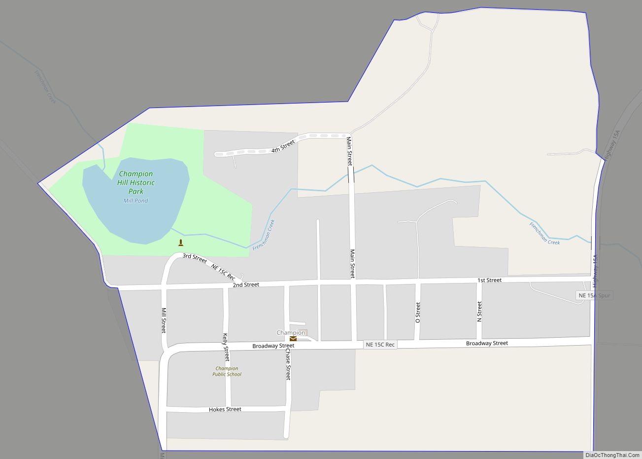
- Champion
- Champion Mill (listed 1988)
- Rural Areas
- Lovett Site (listed 1972)
- Texas Trail Stone Corral (listed 2002), on Spring Creek North of Imperial
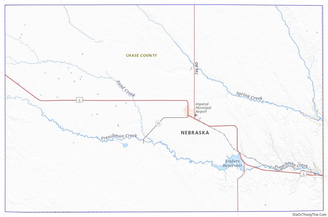
Chase County Road Map
Geography
Chase County is on the west edge of Nebraska. Its west boundary line abuts the east boundary line of the state of Colorado. According to the US Census Bureau, the county has a total area of 897 square miles (2,320 km), of which 894 square miles (2,320 km) is land and 3.1 square miles (8.0 km) (0.3%) is water.
Chase County is geographically diverse. The spring-fed Frenchman Creek crosses the county from west to southeast. From Enders to Wauneta the path of the creek exposes limestone outcroppings. North of Wauneta is an area of significant loess deposits, including the typical steep-walled canyons. Rolling Sandhill formations are found in the north-central and southwestern areas of the county.
The Pierre Shale of Upper Cretaceous Age is the underlying structure of the region. At Enders Dam this formation is found at a depth of 175 feet (53 m) below the valley floor. The Ogallala Formation of Pliocene Age overlies the Pierre Shale. The Ogallala Formation is composed of fine to coarse sand, some gravel, calcareous silt, silty sands, silts and clays. Various degrees of calcareous cementation occur, resulting in lenses of varying loose unconsolidated to very firm compact materials at irregular intervals. The Ogallala beds lie almost horizontal and structural irregularities, such as faulting, have been observed in the area.
The Ogallala Formation is of vital importance to the county and the surrounding areas. The associated Ogallala Aquifer is the primary source of water for the population and livestock, and an important input into agricultural economy of the county.
Adjacent counties
- Hayes County – east
- Dundy County – south
- Yuma County, Colorado – southwest
- Phillips County, Colorado – west
- Perkins County – north
Protected areas
- Church Grove Recreation Area
- Enders Reservoir State Recreation Area
Chase County Topographic Map
Chase County Satellite Map
Chase County Outline Map