Chesapeake is an independent city in the Commonwealth of Virginia, United States. At the 2020 census, the population was 249,422, it is the second-most populous independent city in Virginia, tenth-largest in the Mid-Atlantic, and the 90th most populous city in the United States.
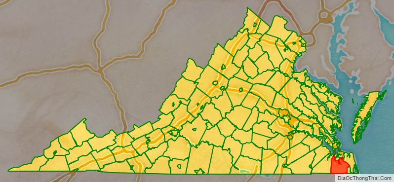
Chesapeake is included in the Virginia Beach–Norfolk–Newport News metropolitan area. One of the cities in the South Hampton Roads, Chesapeake was organized in 1963 by voter referendums approving the political consolidation of the city of South Norfolk with the remnants of the former Norfolk County, which dated to 1691. (Much of the territory of the county had been annexed by other cities.) Chesapeake is the second-largest city by land area in the Commonwealth of Virginia, and the 17th-largest in the United States.
Chesapeake is a diverse city in which a few urban areas are located; it also has many square miles of protected farmland, forests, and wetlands, including a substantial portion of the Great Dismal Swamp National Wildlife Refuge. Extending from the rural border with North Carolina to the harbor area of Hampton Roads adjacent to the cities of Norfolk, Portsmouth, Suffolk, and Virginia Beach, Chesapeake is located on the Atlantic Intracoastal Waterway. It has miles of waterfront industrial, commercial and residential property.
In 2011, Chesapeake was named the 21st best city in the United States by Bloomberg Businessweek. Chesapeake is home to the international Headquarters for Dollar Tree.
| Name: | Chesapeake City |
|---|---|
| FIPS code: | 51-550 |
| State: | Virginia |
| Founded: | 1963 (1919 as South Norfolk, 1634 as Norfolk County, Virginia) |
| Land Area: | 338.51 sq mi (876.74 km²) |
| Population Density: | 710/sq mi (270/km²) |
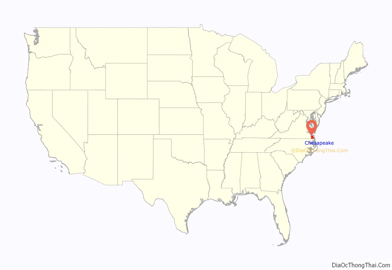
Chesapeake City location map. Where is Chesapeake City?
History
In 1963, the new independent city of Chesapeake was created when the former independent city of South Norfolk consolidated with Norfolk County. The consolidation was approved and the new name selected by the voters of each community by referendum, and authorized by the Virginia General Assembly.
Formed in 1691 in the Virginia Colony, Norfolk County had originally included essentially all the area which became the towns and later cities of Norfolk, Portsmouth, and South Norfolk. Its area was reduced after 1871 as these cities added territory through annexations. Becoming an independent city was a method for the former county to stabilize borders with neighbors, as cities could not annex territory from each other.
The relatively small city of South Norfolk had become an incorporated town within Norfolk County in 1919, and became an independent city in 1922. Its residents wanted to make a change to put their jurisdiction on a more equal footing in other aspects with the much larger cities of Norfolk and Portsmouth. In addition, by the late 1950s, although immune from annexation by the bigger cities, South Norfolk was close to losing all the county land adjoining it to the city of Norfolk in another annexation suit.
The consolidation that resulted in the city of Chesapeake was part of a wave of changes in the structure of local government in southeastern Virginia which took place between 1952 and 1975.
The Chesapeake region was among the first areas settled in the state’s colonial era, when settlement started from the coast. Along Chesapeake’s segment of the Intracoastal Waterway, where the Great Bridge locks marks the transition between the Southern Branch Elizabeth River and the Chesapeake and Albemarle Canal, lies the site of the Battle of Great Bridge. Fought on December 9, 1775, in the early days of the American Revolutionary War, the battle resulted in the removal of Lord Dunmore and all vestiges of English Government from the Colony and Dominion of Virginia.
Until the late 1980s and early 1990s, much of Chesapeake was either suburban or rural, serving as a bedroom community of the adjacent cities of Norfolk and Virginia Beach with residents commuting to these locations. Beginning in the late 1980s and accelerating in the 1990s, however, Chesapeake saw significant growth, attracting numerous and significant industries and businesses of its own. This explosive growth quickly led to strains on the municipal infrastructure, ranging from intrusion of saltwater into the city’s water supply to congested roads and schools.
Chesapeake made national headlines in 2003 when, under a court-ordered change of venue, the community hosted the first trial of alleged Beltway sniper Lee Boyd Malvo for shootings in 2002. A jury convicted him of murder but spared him a potential death sentence; it chose a sentence of “life in prison without parole” for the young man, who was 17 years old at the time of the crime spree. A jury in neighboring Virginia Beach convicted his older partner John Allen Muhammad and sentenced him to death for another of the attacks.
On November 22, 2022, a mass shooting occurred in a Walmart off of Battlefield Boulevard in Chesapeake. Seven people were killed, including the gunman who committed suicide, and four others were injured.
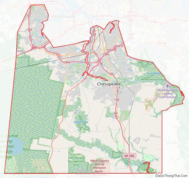
Chesapeake City Road Map
Geography
Chesapeake is located at 36°46′2″N 76°17′14″W / 36.76722°N 76.28722°W / 36.76722; -76.28722 (36.767398, -76.287405).
According to the United States Census Bureau, the city has a total area of 351 square miles (910 km), of which 341 square miles (880 km) is land and 10 square miles (26 km) (2.9%) is water.
The northeastern part of the Great Dismal Swamp is located in Chesapeake.
Diverse environment
Chesapeake is one of the larger cities in Virginia and the nation in terms of land area. This poses challenges to city leaders in supporting infrastructure to serve this area. In addition, the city has many historically and geographically distinct communities. City leaders are faced with conflicts between development of residential, commercial and industrial areas and preservation of virgin forest and wetlands. Within the city limits in the southwestern section is a large portion of the Great Dismal Swamp.
Adjacent counties and cities
- Portsmouth, Virginia (north)
- Norfolk, Virginia (north)
- Virginia Beach, Virginia (east)
- Currituck County, North Carolina (south)
- Camden County, North Carolina (south)
- Suffolk, Virginia (west)
Communities
Chesapeake consists of six boroughs: South Norfolk, Butt Road, Deep Creek, Pleasant Grove, Western Branch and Washington. One of the boroughs, South Norfolk, used to be its own independent city and consolidated the surrounding portions of Norfolk County(extinct) into the City of Chesapeake.
Climate
The climate in this area is characterized by hot, humid summers and generally mild to cool winters. According to the Köppen Climate Classification system, Chesapeake has a humid subtropical climate, abbreviated “Cfa” on climate maps.
Chesapeake City Topographic Map

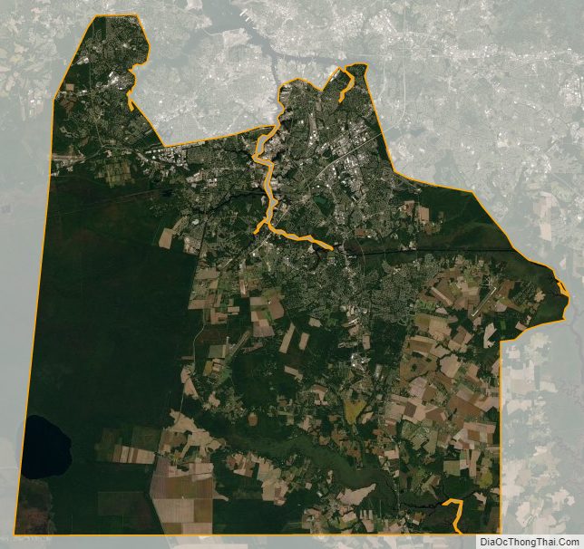
Chesapeake City Satellite Map
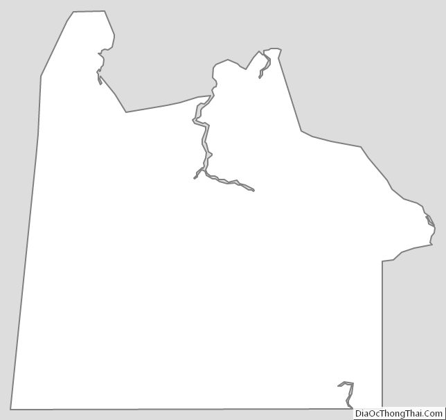
Chesapeake City Outline Map