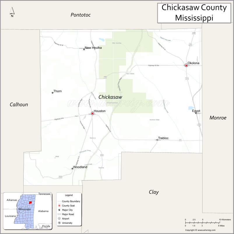
Chickasaw County is a county located in the U.S. state of Mississippi. As of the 2020 census, the population was 17,106. Its county seats are Houston and Okolona. The county is named for the Chickasaw people, who lived in this area for hundreds of years. Most were forcibly removed to Indian Territory in the 1830s, but some remained and became citizens of the state and the United States.
| Name: | Chickasaw County |
|---|---|
| FIPS code: | 28-017 |
| State: | Mississippi |
| Founded: | 1836 |
| Named for: | Chickasaw people |
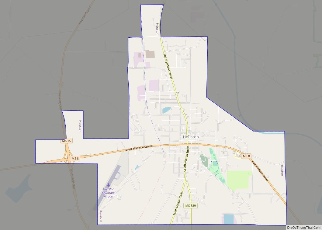
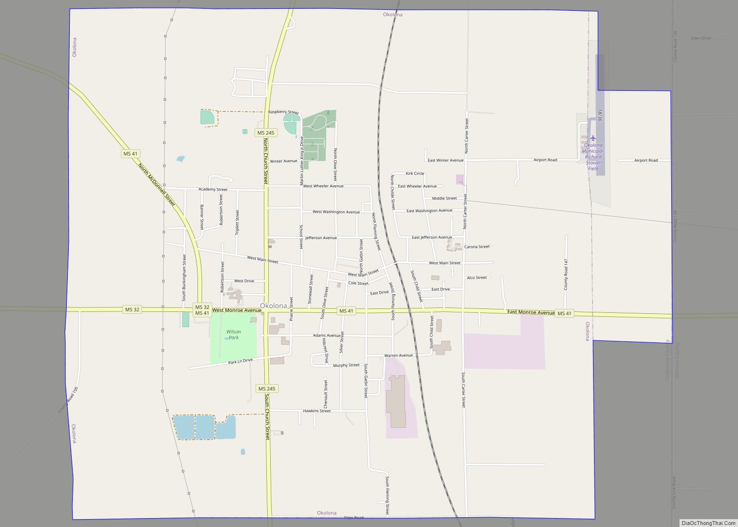
| Seat: | Houston and Okolona |
| Largest city: | Houston |
| Total Area: | 504 sq mi (1,310 km²) |
| Land Area: | 502 sq mi (1,300 km²) |
| Total Population: | 17,106 |
| Population Density: | 34/sq mi (13/km²) |
| Time zone: | UTC−6 (Central) |
| Summer Time Zone (DST): | UTC−5 (CDT) |
| Website: | www.chickasawcoms.com |
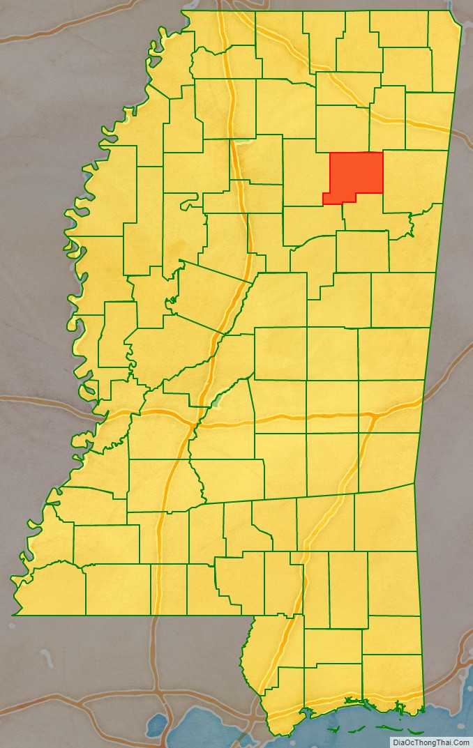
Chickasaw County location map. Where is Chickasaw County?

History
The Mississippi state legislature created Chickasaw County in 1836, following the cession of the land by the Chickasaw Indians. It was quickly settled by Americans from the east, mainly from the Southern states. By the time of the Civil War, riverfront landings had been developed by the many large cotton plantations worked by slaves, who outnumbered the white residents of the county.
The American Civil War devastated the local economy, completely destroying the plantation-based infrastructure of Chickasaw County. The newly freed slaves had to adapt to the new labor system, in which the white landowners still retained partial control over their lives through the practice of sharecropping. The economy declined again in the late 19th century, when falling cotton prices reduced both black and white residents to poverty. Farmers eventually began diversifying their crops, and the economy slowly began to improve.
Early in the 20th century, the first agricultural high school in Mississippi opened in the unincorporated community of Buena Vista. Cully Cobb, a pioneer of southern agriculture, long-term farm publisher, and an official of the Agricultural Adjustment Administration in Washington, D.C., was the superintendent of the school from 1908 to 1910.
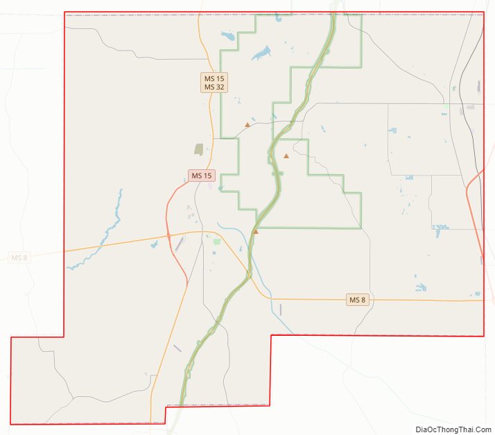
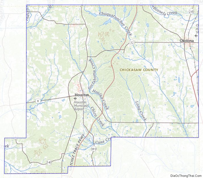
Chickasaw County Road Map
Geography
According to the U.S. Census Bureau, the county has a total area of 504 square miles (1,310 km), of which 502 square miles (1,300 km) is land and 2.5 square miles (6.5 km) (0.5%) is water.
Major highways
- U.S. Route 45 Alternate (Mississippi)
- Mississippi Highway 8
- Mississippi Highway 15
- Mississippi Highway 32
- Mississippi Highway 41
- Mississippi Highway 47
- Natchez Trace Parkway
Adjacent counties
- Pontotoc County (north)
- Lee County (northeast)
- Monroe County (east)
- Clay County (southeast)
- Webster County (southwest)
- Calhoun County (west)
National protected areas
- Natchez Trace Parkway (part)
- Tombigbee National Forest (part)
Chickasaw County Topographic Map
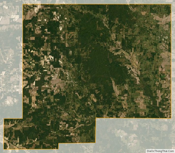
Chickasaw County Satellite Map
Chickasaw County Outline Map