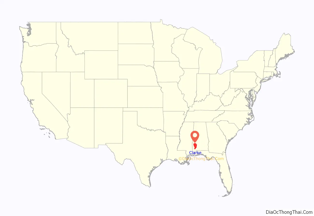
Clarke County is a county located in the southwestern part of the U.S. state of Alabama. As of the 2020 census, the population was 23,087. The county seat is Grove Hill. The county’s largest city is Jackson. The county was created by the legislature of the Mississippi Territory in 1812. It is named in honor of General John Clarke of Georgia, who was later elected governor of that state.
The county museum is housed in the Alston-Cobb House in Grove Hill.
| Name: | Clarke County |
|---|---|
| FIPS code: | 01-025 |
| State: | Alabama |
| Founded: | December 10, 1812 |
| Named for: | John Clarke |
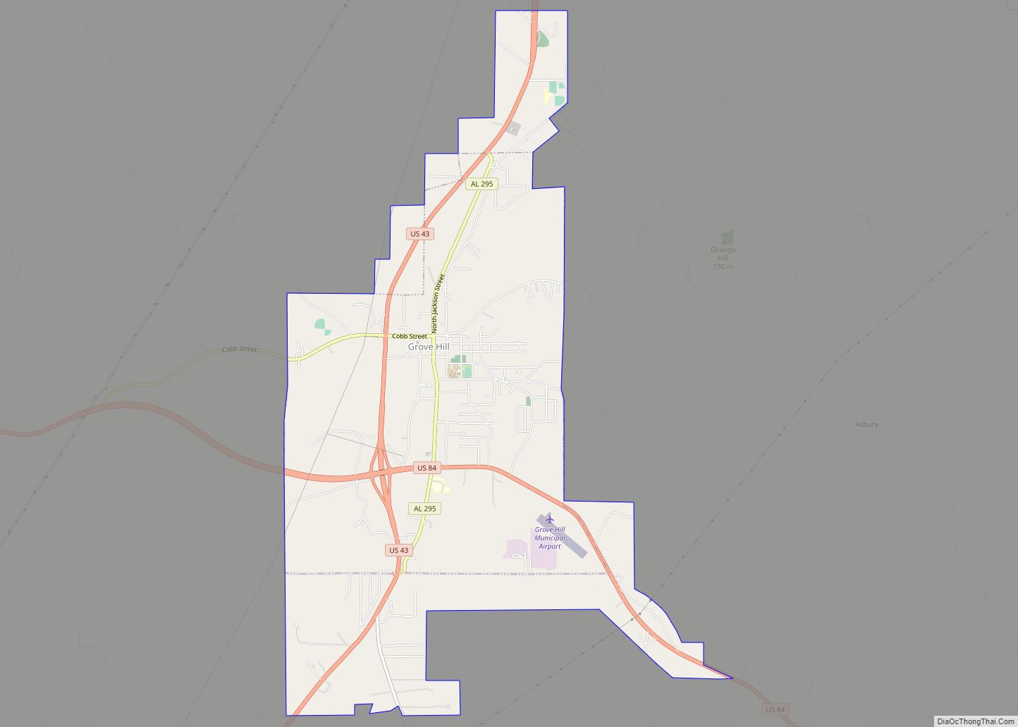
| Seat: | Grove Hill |
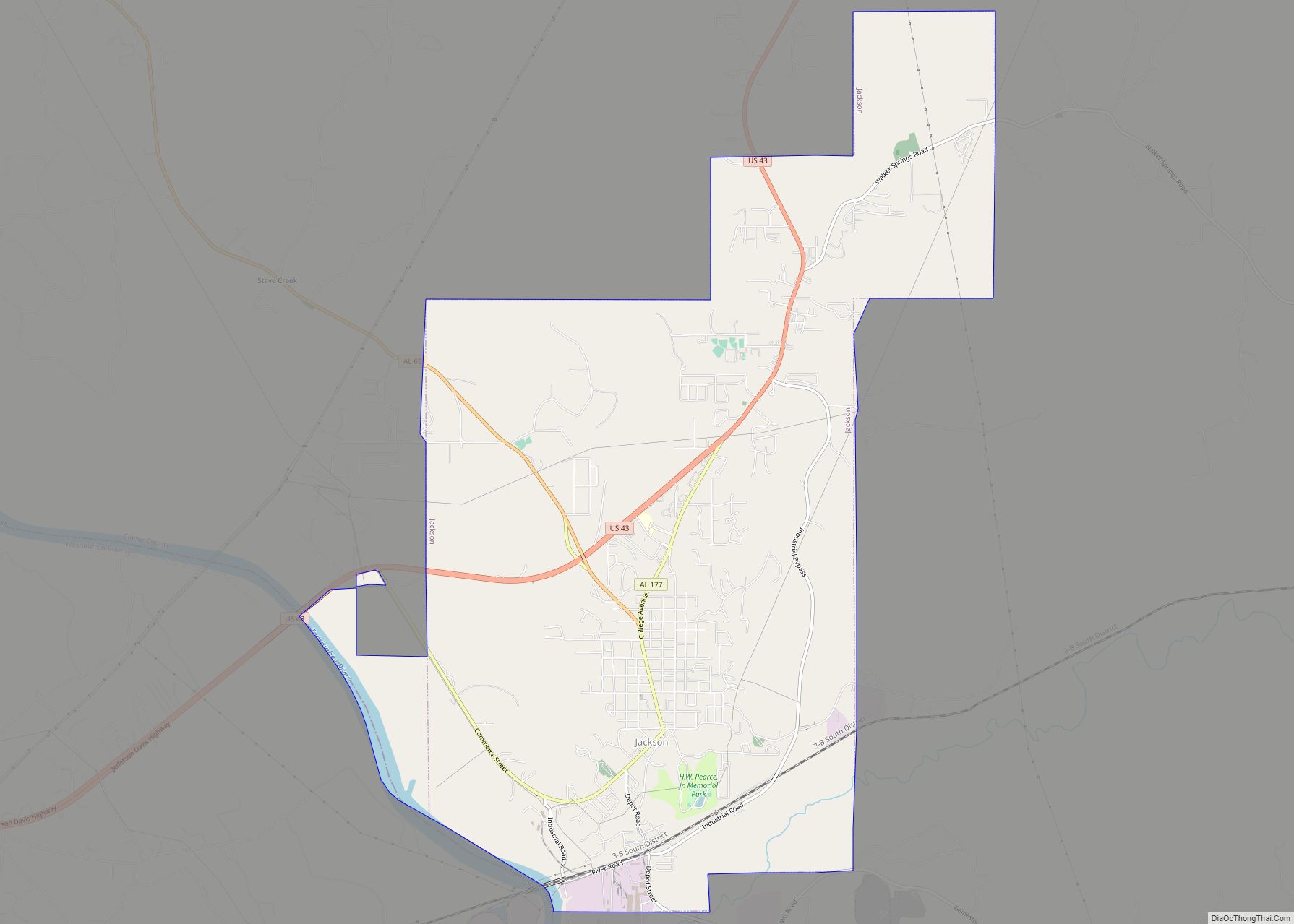
| Largest city: | Jackson |
| Total Area: | 1,253 sq mi (3,250 km²) |
| Land Area: | 1,238 sq mi (3,210 km²) |
| Total Population: | 23,087 |
| Population Density: | 18/sq mi (7.1/km²) |
| Time zone: | UTC−6 (Central) |
| Summer Time Zone (DST): | UTC−5 (CDT) |
| Website: | www.clarkecountyal.com |
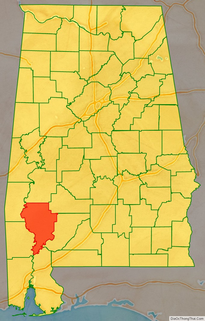
Clarke County location map. Where is Clarke County?
History
Pre-European era
For thousands of years, this area was occupied along the rivers by varying cultures of indigenous peoples. At the time of European encounter, Clarke County was the traditional home of the Choctaw and the Creek people. They traded with the French, who had settlements in Mobile and New Orleans. They also were reached by some English and Scots traders from the British colonies along the Atlantic Coast. After the Louisiana Purchase, they started to establish relations with the United States.
In 1805, by the Treaty of Mount Dexter, the Choctaw conveyed large amounts of land in what is now southeastern Mississippi and southwestern Alabama, including much of the western portion of Clarke County, to the United States for settlement by European Americans.
Modern era
Clarke County was established on December 10, 1812, by the Mississippi Territory. The county had numerous forts, built by settlers for protection during the Creek War (1813–1814). Some of these forts included: Fort Carney, Fort Easley, Fort Glass, Fort Landrum, Fort Madison, and Fort Sinquefield. The first county seat was Clarkesville, founded in 1820. The seat was moved to Macon, later renamed Grove Hill, in 1831. During the American Civil War, the county was notable for its salt production.
In 1883, the U.S. Supreme Court upheld the conviction of Tony Pace and Mary Cox for interracial dating, in Pace v. Alabama. That precedent was subsequently overturned. In 1892, Clarke County was the scene of a violent confrontation around economic divides that later became known as the Mitcham War.
Alcohol prohibition
Following the national repeal of prohibition in 1933, Clarke County voted to become a dry county in 1937, when wet-dry counties were established in Alabama.
In the first decade of the 21st century, the county’s largest communities voted to legalize alcohol sales: Jackson on May 10, 2005; Thomasville on August 14, 2007; and Grove Hill on November 3, 2009.
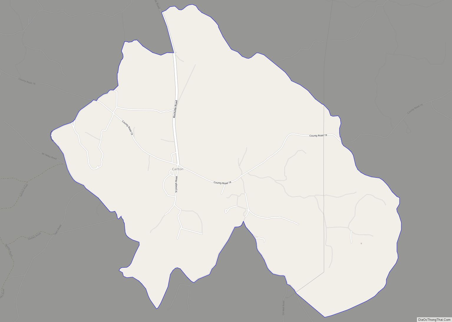
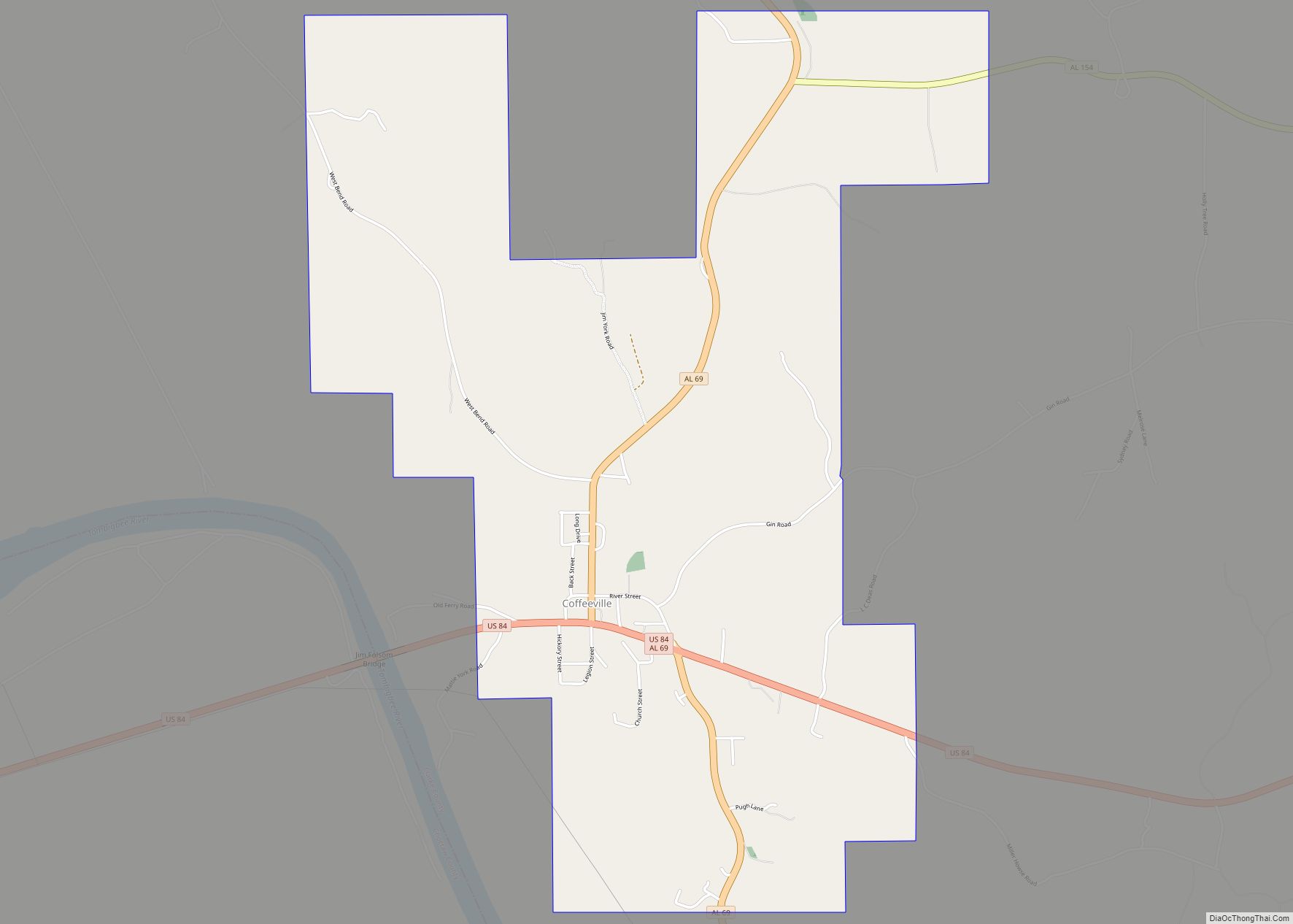
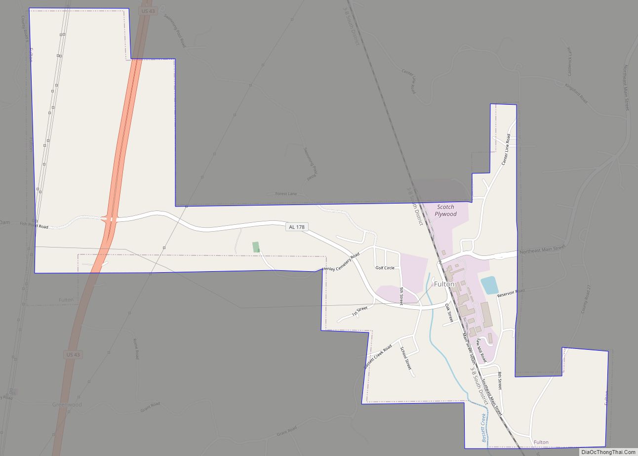
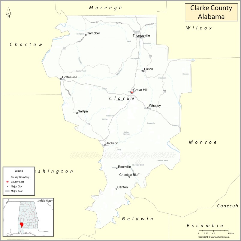
Clarke County Road Map
Geography
According to the United States Census Bureau, the county has a total area of 1,253 square miles (3,250 km), of which 1,238 square miles (3,210 km) is land and 14 square miles (36 km) (or 1.1%) is water. It is the third-largest county in Alabama by land area and the fourth-largest by total area.
Major highways
- U.S. Highway 43
- U.S. Highway 84
- State Route 5
- State Route 69
- State Route 154
- State Route 177
- State Route 178
- State Route 295
Adjacent counties
- Marengo County (north)
- Wilcox County (northeast)
- Monroe County (east)
- Baldwin County (south)
- Washington County (southwest)
- Choctaw County (northwest)
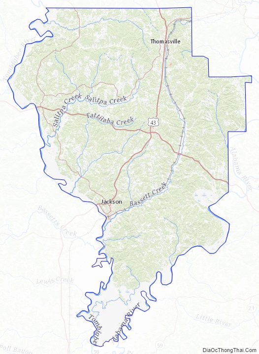
Clarke County Topographic Map
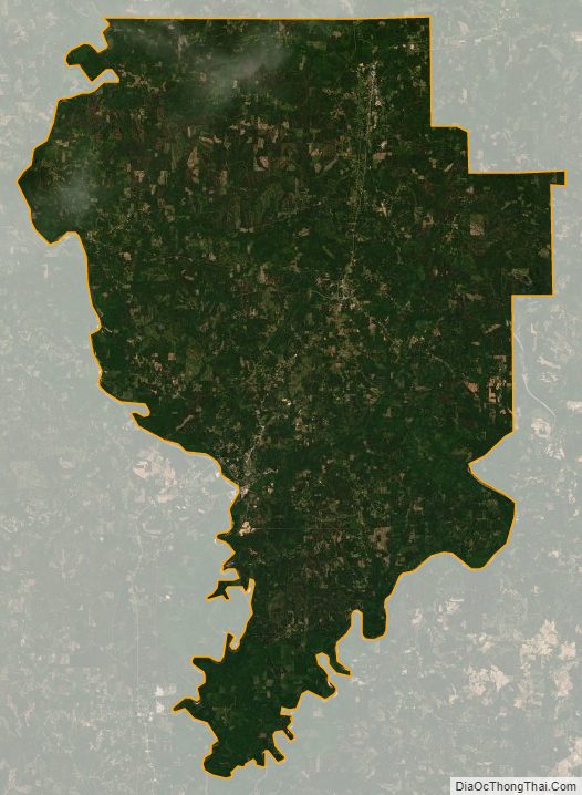
Clarke County Satellite Map
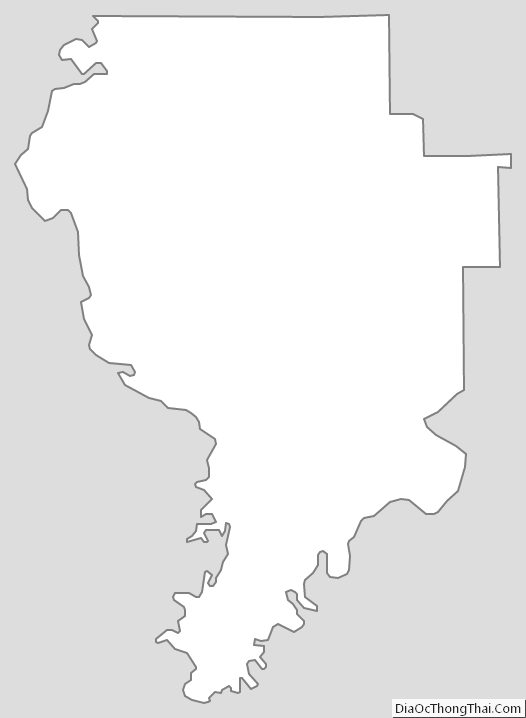
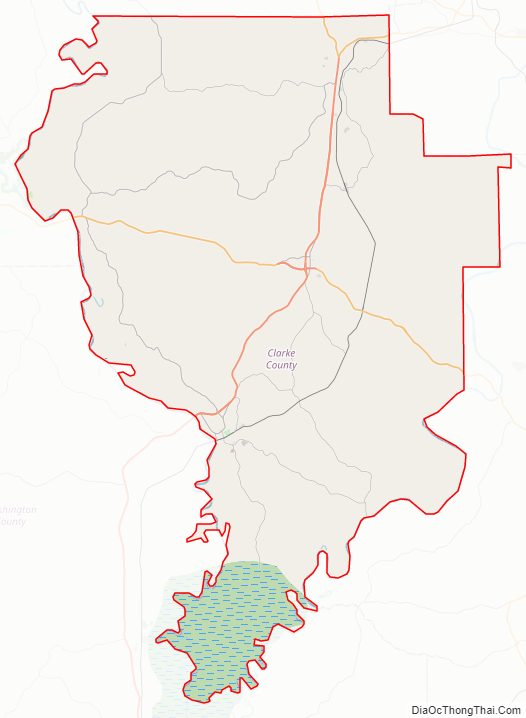
Clarke County Outline Map