Jackson is a city in Clarke County, Alabama, United States. The population was 5,557 at the 2020 census. It was one of three wet settlements in an otherwise-dry county.
| Name: | Jackson city |
|---|---|
| LSAD Code: | 25 |
| LSAD Description: | city (suffix) |
| State: | Alabama |
| County: | Clarke County |
| Elevation: | 236 ft (72 m) |
| Total Area: | 15.83 sq mi (41.00 km²) |
| Land Area: | 15.64 sq mi (40.50 km²) |
| Water Area: | 0.19 sq mi (0.50 km²) |
| Total Population: | 4,748 |
| Population Density: | 303.60/sq mi (117.22/km²) |
| ZIP code: | 36501, 36515, 36545 |
| Area code: | 251 |
| FIPS code: | 0138152 |
| GNISfeature ID: | 0151874 |
| Website: | cityofjacksonal.com |
Online Interactive Map
Click on ![]() to view map in "full screen" mode.
to view map in "full screen" mode.
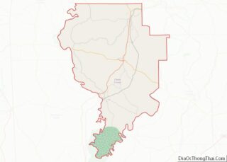
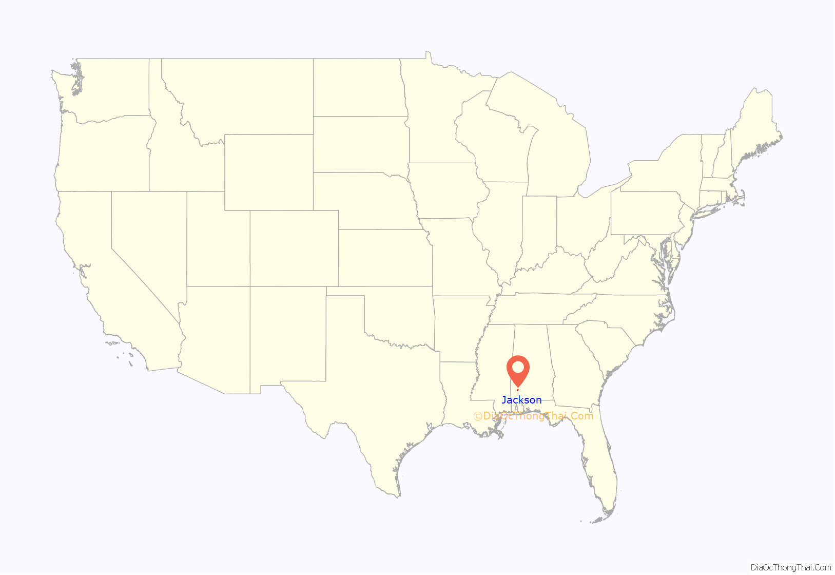
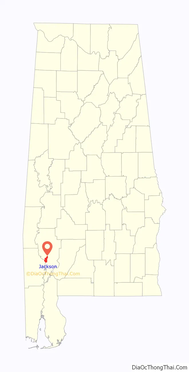
Jackson location map. Where is Jackson city?
History
Jackson was founded in 1816 and is named after President Andrew Jackson. Former names for the city include Pine Level and Republicville.
During the Civil War, a Confederate fort was established on the banks of the Tombigbee River. It was named Fort Carney and was positioned on Carney’s Bluff just south of Jackson. The cannon that was on the bluff now sits in front of City Hall.
Jackson has four sites listed on the National Register of Historic Places. They are the Jackson Historic District, Clarke Mills, Doit W. McClellan Lustron House, and J. P. McKee Lustron House.
During World War II, a prisoner-of-war camp was built and operated holding 253 captured German soldiers on Ocre Avenue. The camp was opened April 6, 1945 and closed March 12, 1946. Many of the prisoners were members of the Afrika Korps.
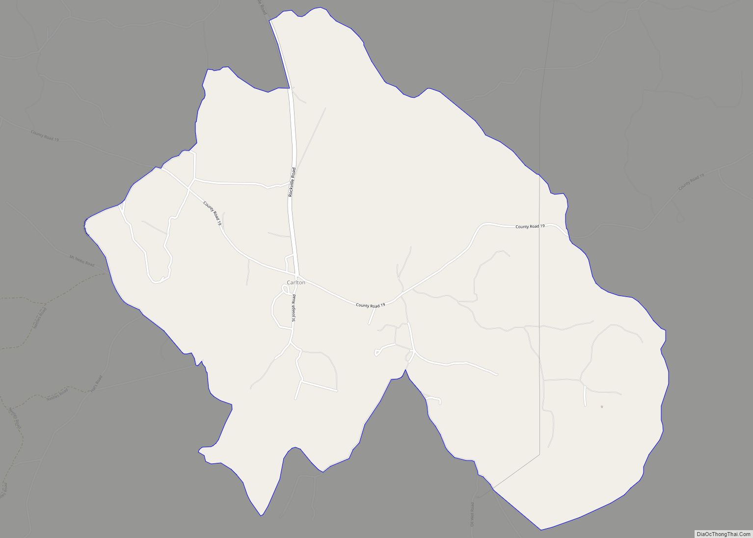
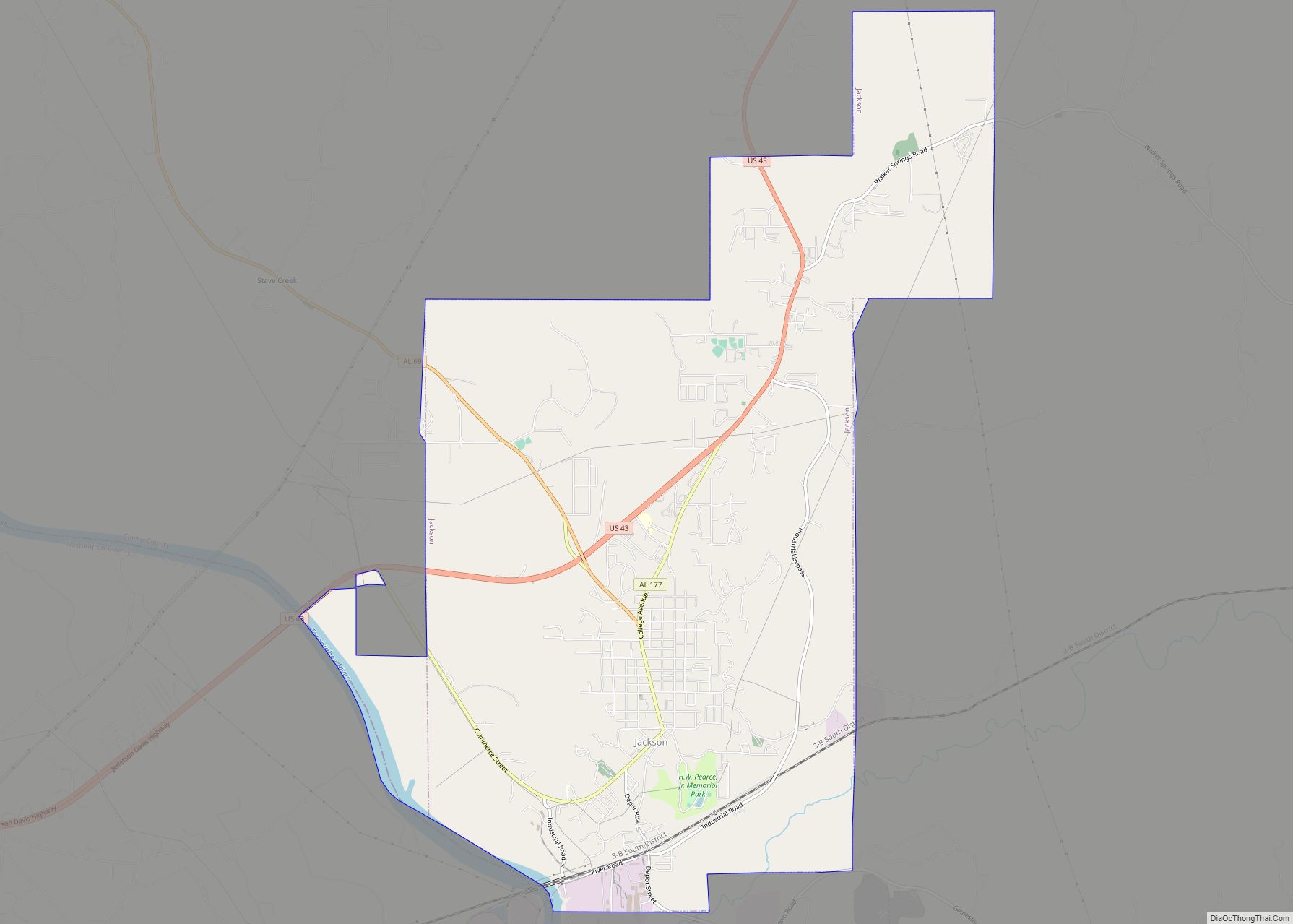
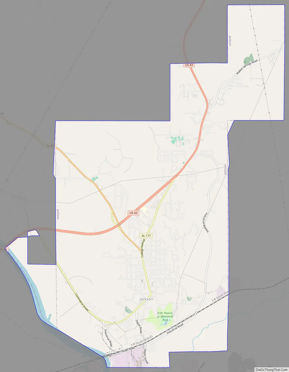
Jackson Road Map
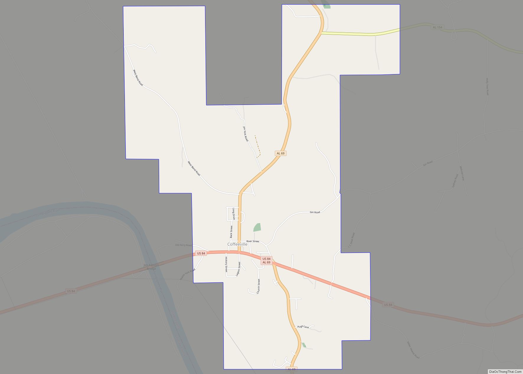
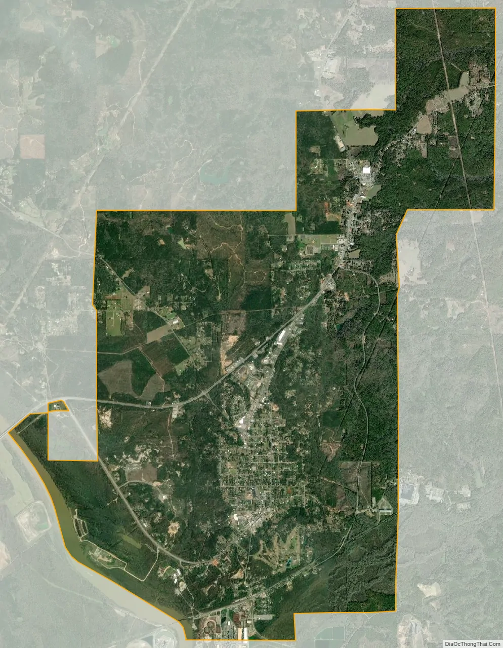
Jackson city Satellite Map
Geography
Jackson is located along the western border of Clarke County at coordinates 31°31′16″N 87°53′28″W / 31.521°N 87.891°W / 31.521; -87.891, on a rise overlooking east bank of the Tombigbee River. According to the U.S. Census Bureau, the city has a total area of 15.8 square miles (41.0 km), of which 15.6 square miles (40.5 km) is land and 0.19 square miles (0.5 km), or 1.21%, is water.
Jackson sits across the Tombigbee River from Washington County, Alabama.
Climate
See also
Map of Alabama State and its subdivision:- Autauga
- Baldwin
- Barbour
- Bibb
- Blount
- Bullock
- Butler
- Calhoun
- Chambers
- Cherokee
- Chilton
- Choctaw
- Clarke
- Clay
- Cleburne
- Coffee
- Colbert
- Conecuh
- Coosa
- Covington
- Crenshaw
- Cullman
- Dale
- Dallas
- De Kalb
- Elmore
- Escambia
- Etowah
- Fayette
- Franklin
- Geneva
- Greene
- Hale
- Henry
- Houston
- Jackson
- Jefferson
- Lamar
- Lauderdale
- Lawrence
- Lee
- Limestone
- Lowndes
- Macon
- Madison
- Marengo
- Marion
- Marshall
- Mobile
- Monroe
- Montgomery
- Morgan
- Perry
- Pickens
- Pike
- Randolph
- Russell
- Saint Clair
- Shelby
- Sumter
- Talladega
- Tallapoosa
- Tuscaloosa
- Walker
- Washington
- Wilcox
- Winston
- Alabama
- Alaska
- Arizona
- Arkansas
- California
- Colorado
- Connecticut
- Delaware
- District of Columbia
- Florida
- Georgia
- Hawaii
- Idaho
- Illinois
- Indiana
- Iowa
- Kansas
- Kentucky
- Louisiana
- Maine
- Maryland
- Massachusetts
- Michigan
- Minnesota
- Mississippi
- Missouri
- Montana
- Nebraska
- Nevada
- New Hampshire
- New Jersey
- New Mexico
- New York
- North Carolina
- North Dakota
- Ohio
- Oklahoma
- Oregon
- Pennsylvania
- Rhode Island
- South Carolina
- South Dakota
- Tennessee
- Texas
- Utah
- Vermont
- Virginia
- Washington
- West Virginia
- Wisconsin
- Wyoming