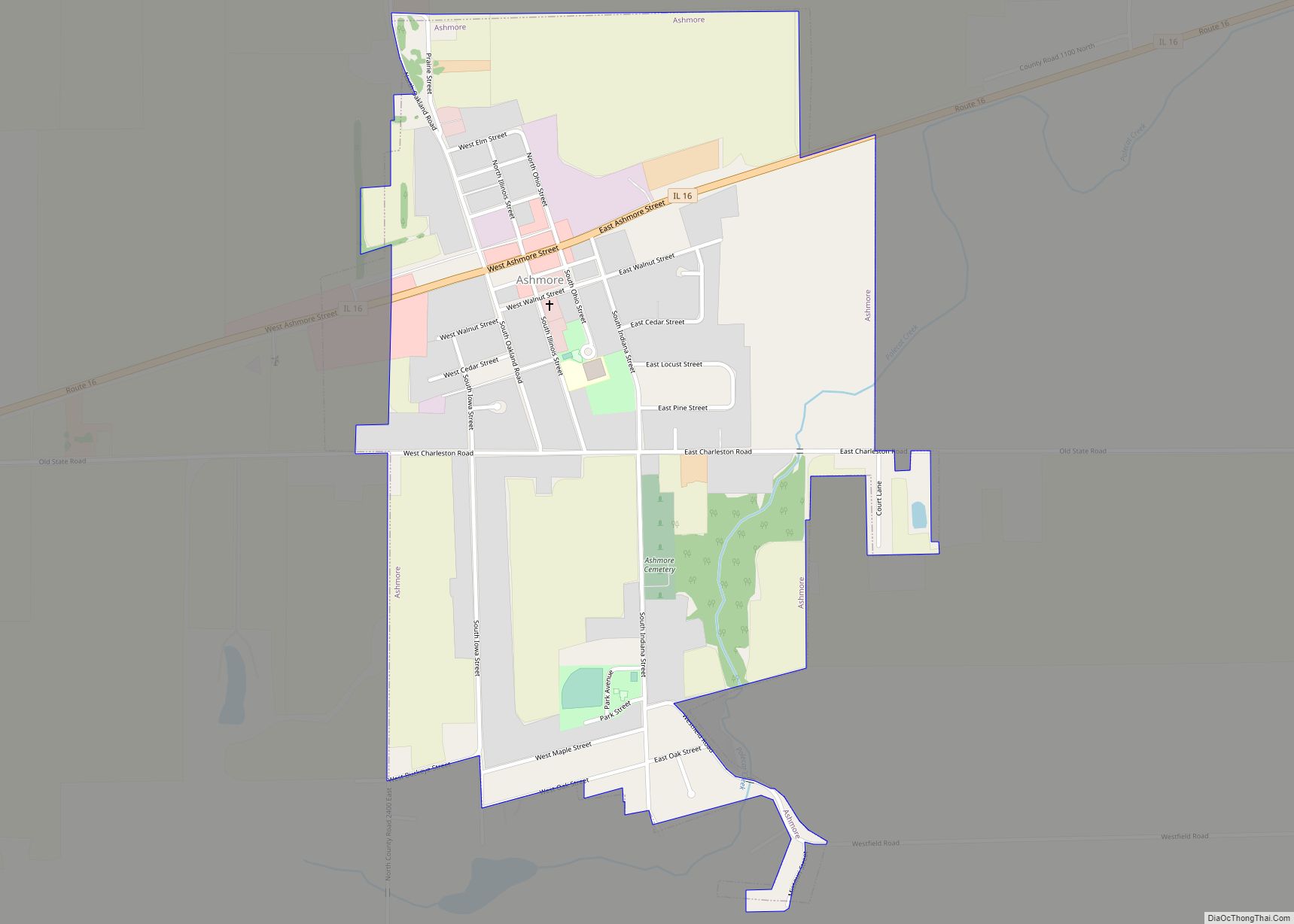
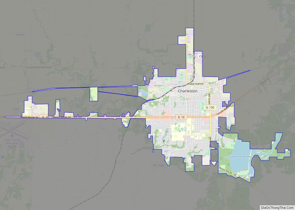
Coles County is a county in Illinois. As of the 2020 census, the population was 46,863. Its county seat is Charleston, which is also the home of Eastern Illinois University.
Coles County is part of the Charleston-Mattoon, IL Micropolitan Statistical Area.
| Name: | Coles County |
|---|---|
| FIPS code: | 17-029 |
| State: | Illinois |
| Founded: | December 25, 1830 |
| Named for: | Edward Coles |
| Seat: | Charleston |
| Largest city: | Charleston |
| Total Area: | 510 sq mi (1,300 km²) |
| Land Area: | 508 sq mi (1,320 km²) |
| Total Population: | 46,863 |
| Population Density: | 92/sq mi (35/km²) |
| Time zone: | UTC−6 (Central) |
| Summer Time Zone (DST): | UTC−5 (CDT) |
| Website: | www.colesco.illinois.gov |
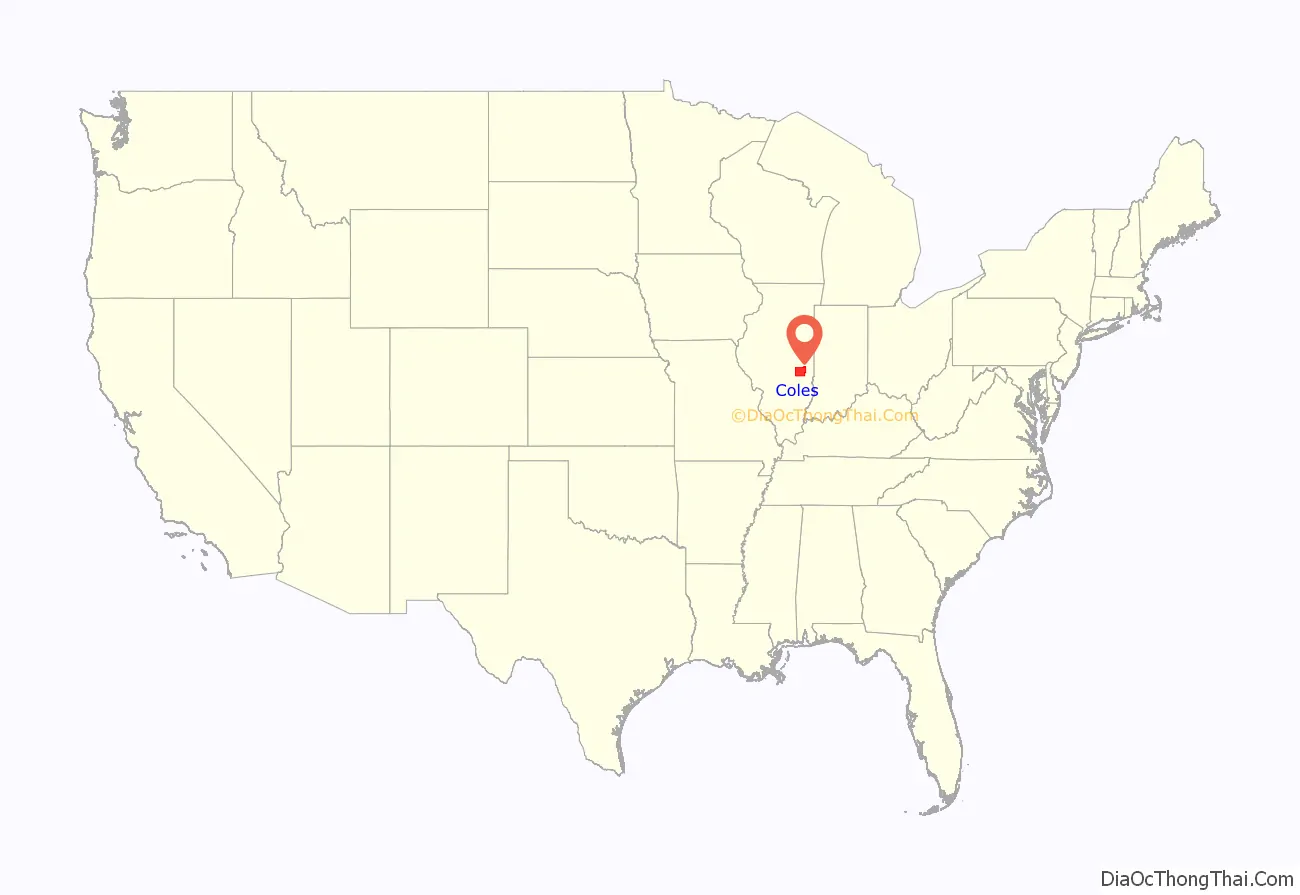
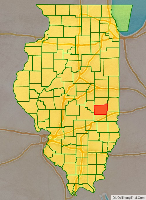
Coles County location map. Where is Coles County?
History
Coles County was organized by on December 25, 1830, from Clark and Edgar counties. It was named after Edward Coles, the second governor of Illinois, from 1822 to 1826. The majority of the American settlers who founded Coles County were either from the six New England states, or were born in upstate New York to parents who had moved to that region from New England shortly after the American Revolution. They were part of a wave of farmers who headed west into the frontier of the Northwest Territory during the early 1800s. The completion of the Erie Canal led to an increase in such migrants heading west. When these settlers originally reached what is today Coles County, they found dense virgin forest and prairie.
The New England settlers laid out farms, constructed roads, erected government buildings and established post routes. They brought with them many of their “Yankee” values, such as staunch support for abolitionism as well as a passion for education. They quickly established schools in their communities. They were mostly members of the Congregationalist Church, though some were Episcopalian. As a result of the second Great Awakening, many had become Baptists or switched to Protestant denominations such as Methodism or Presbyterianism before moving to what is now Coles County. The prevalence of settlers with New England heritage resulted in their establishing a culture that was continuous with that of New England for the first several decades of its history. As a result of this, county residents largely supported abolitionism in the antebellum period, and also the Republican Party as of the 1850s and 1860s.
Beginning in 1849, numerous German immigrants arrived in Coles County, refugees from the rebellions the year before in various principalities. This population overwhelmingly supported the abolition of slavery.
Irish Catholic immigrants who had fled the famine in their country also settled here. Illinois Democratic Senator Stephen Douglas was extremely popular amongst Irish Catholic immigrants in Coles County at this time. During the Civil War the Irish Catholic community of Coles County would overwhelmingly be Copperheads.
Coles County from the time of its creation to 1843
Coles County between 1843 and 1859
Coles County reduced to its current size in 1859 by the creation of Douglas County
Coles County Road Map
Geography
According to the U.S. Census Bureau, the county has a total area of 510 square miles (1,300 km), of which 508 square miles (1,320 km) is land and 1.8 square miles (4.7 km) (0.4%) is water.
Climate and weather
In recent years, average temperatures in the county seat of Charleston have ranged from a low of 19 °F (−7 °C) in January to a high of 88 °F (31 °C) in July, although a record low of −27 °F (−33 °C) was recorded in January 1994 and a record high of 110 °F (43 °C) was recorded in July 1936. Average monthly precipitation ranged from 2.20 inches (56 mm) in January to 4.65 inches (118 mm) in July.
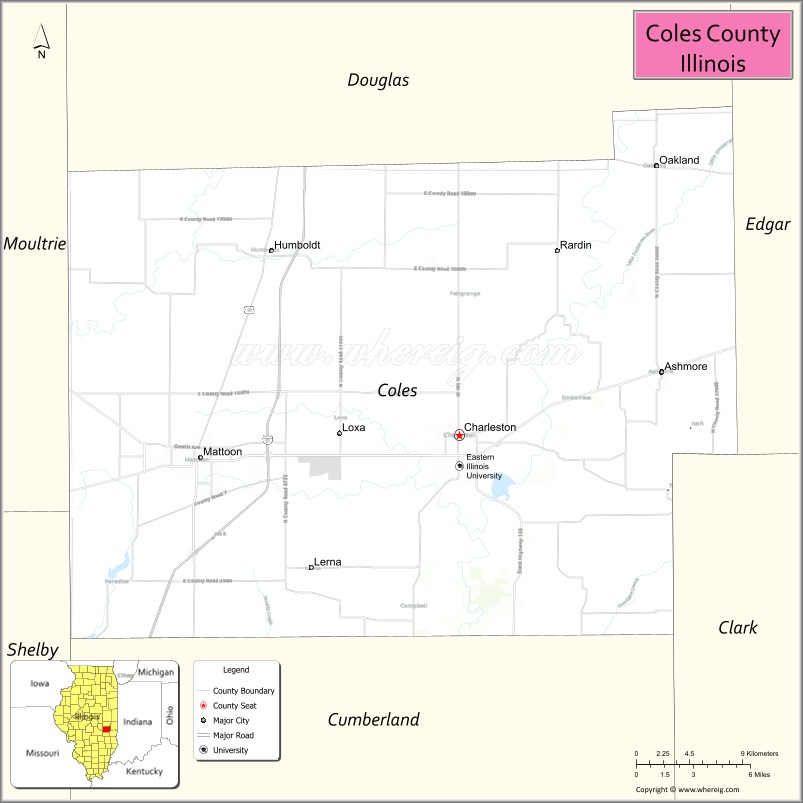
Adjacent counties
- Douglas County – north
- Edgar County – northeast
- Clark County – southeast
- Cumberland County – south
- Shelby County – southwest
- Moultrie County – west
Major highways
- Interstate 57
- US Route 45
- Illinois Route 16
- Illinois Route 49
- Illinois Route 121
- Illinois Route 130
- Illinois Route 133
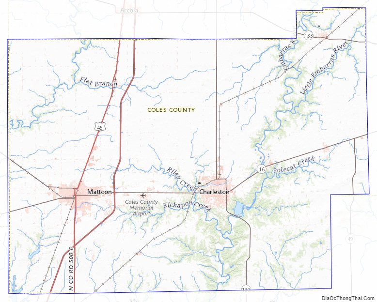
Coles County Topographic Map
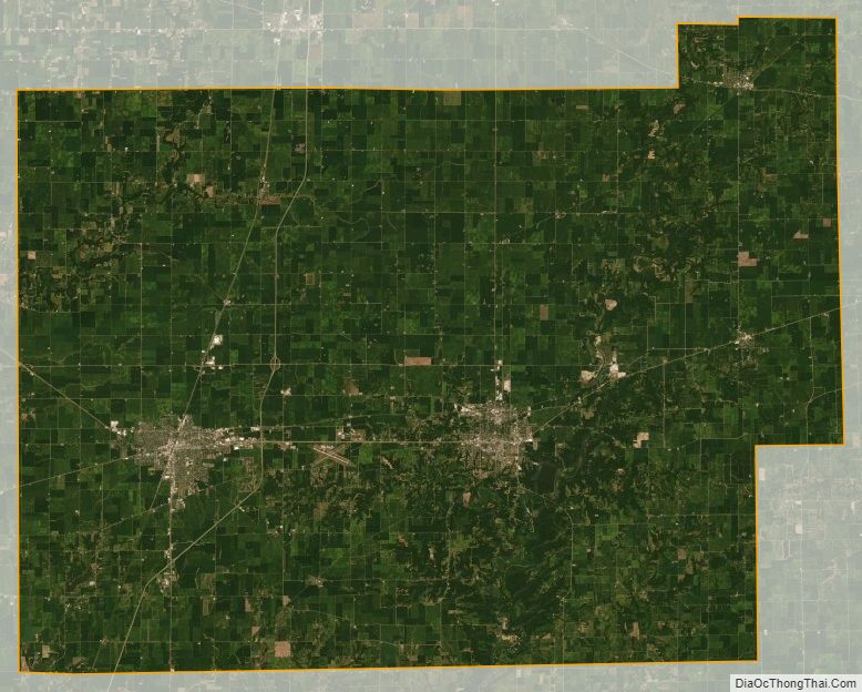
Coles County Satellite Map
Coles County Outline Map