Colleton County is in the Lowcountry region of the U.S. state of South Carolina. As of the 2020 census, the population was 38,604. Its county seat is Walterboro. The county is named after Sir John Colleton, 1st Baronet, one of the eight Lords Proprietor of the Province of Carolina. After two previous incarnations, the current Colleton County was created in 1800.
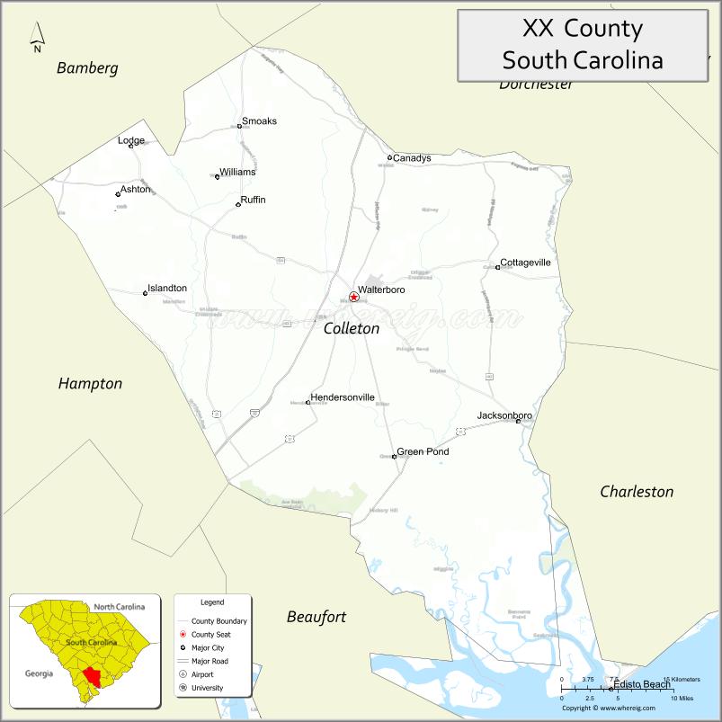
| Name: | Colleton County |
|---|---|
| FIPS code: | 45-029 |
| State: | South Carolina |
| Founded: | 1800 |
| Named for: | Sir John Colleton, 1st Baronet |
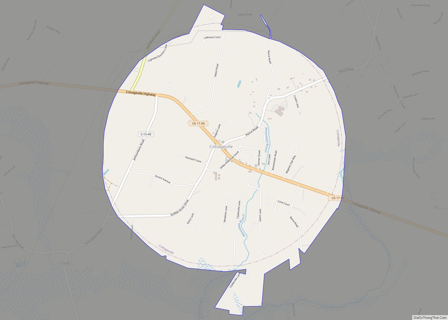
| Seat: | Walterboro |
| Largest city: | Walterboro |
| Total Area: | 1,133 sq mi (2,930 km²) |
| Land Area: | 1,056 sq mi (2,740 km²) |
| Total Population: | 38,462 |
| Population Density: | 36.4/sq mi (14.1/km²) |
| Time zone: | UTC−5 (Eastern) |
| Summer Time Zone (DST): | UTC−4 (EDT) |
| Website: | www.colletoncounty.org |
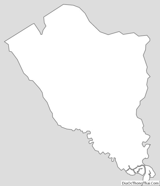
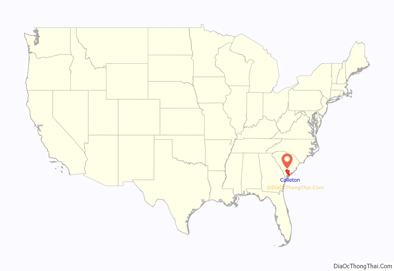
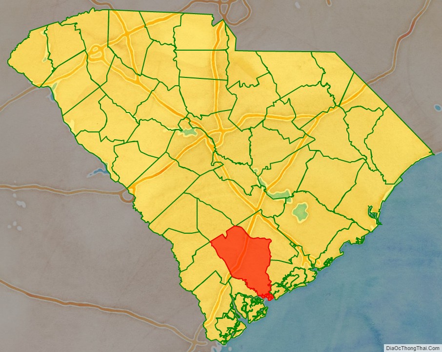
Colleton County location map. Where is Colleton County?
History
In 1682, Colleton was created as one of the three original proprietary counties, located in the southwestern coastal portion of the new South Carolina Colony and bordering on the Combahee River.
In 1706, the county was divided between the new Saint Bartholomew and Saint Paul parishes. This area was developed for large plantations devoted to rice and indigo cultivation as commodity crops. The planters depended on the labor of African slaves transported to Charleston for that purpose. In the coastal areas, black slaves soon outnumbered white colonists, as they did across the colony by 1708.
In 1734, most of the coastal portion of Saint Paul’s Parish was separated to form the new Saint John’s Colleton Parish. In 1769, the three parishes were absorbed into the Charleston Judicial District, the southwestern portion of which was referred to as Saint Bartholomew’s.
In 1800, the new Colleton District was formed from the western half of the Charleston District. In 1816, it annexed a small portion of northwestern Charleston District.
In 1868, under the Reconstruction era new state constitution, South Carolina districts were reorganized as counties. Officials were to be elected by the resident voters rather than by state officials, as was done previously, thus giving more democratic power to local residents.
In 1897, the northeastern portion of the county was separated to form the new Dorchester County, with its seat at Saint George.
In 1911, the portion of the county east of the Edisto River was annexed by Charleston County. In 1919 and again in 1920, tiny portions of northwestern Colleton County were annexed to Bamberg County.
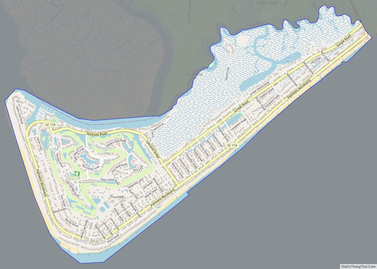
In March 1975, the town of Edisto Beach was annexed to Colleton County from Charleston County, thus bringing the county to its present size.
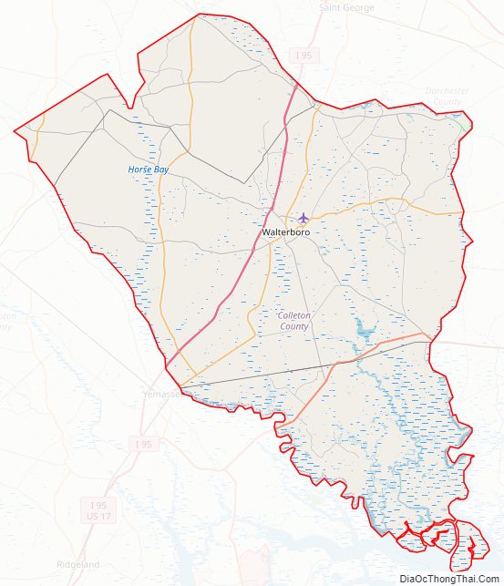
Colleton County Road Map
Geography
According to the U.S. Census Bureau, the county has a total area of 1,133 square miles (2,930 km), of which 1,056 square miles (2,740 km) is land and 77 square miles (200 km) (6.8%) is water. It is the fifth-largest county in South Carolina by land area and fourth-largest by total area.
National protected area
- Ashepoo-Combahee-Edisto (ACE) Basin National Estuarine Research Reserve (part)
- Ernest F. Hollings ACE Basin National Wildlife Refuge (part)
State and local protected areas/sites
- Bear Island Wildlife Management Area
- Colleton State Park
- Donnelley Wildlife Management Area
- Givhans Ferry State Park (part)
- Lowcountry Raptors
- Old Walterboro Train Depot
- Pon-Pon Chapel of Ease
- Tuskegee Airmen Memorial
- Walterboro Historic District
Major water bodies
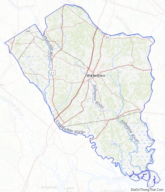
- Ashepoo River
- Atlantic Ocean
- Edisto River
- Intracoastal Waterway
- Salkehatchie River
Adjacent counties
- Orangeburg County – north
- Dorchester County – northeast
- Charleston County – east
- Beaufort County – south
- Hampton County – west
- Allendale County – west
- Bamberg County – northwest
Major highways
- I-95
- US 15
- US 17
- US 17 Alt.
- US 21
- US 601
- SC 61
- SC 63
- SC 64
- SC 64 Bus.
- SC 174
- SC 212
- SC 212 Conn.
- SC 217
- SC 303
- SC 362
- SC 641
- SC 651
Major infrastructure
- Lowcountry Regional Airport
Colleton County Topographic Map
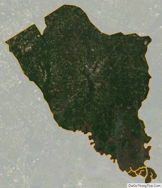
Colleton County Satellite Map
Colleton County Outline Map