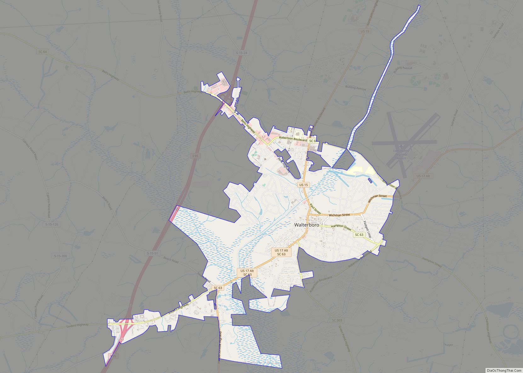
Walterboro is a city in Colleton County, South Carolina, United States. The city’s population was 5,398 at the 2010 census. It is the county seat of Colleton County. Walterboro is located 48 miles (77 km) west of Charleston and is located near the ACE Basin region in the South Carolina Lowcountry. It is known as “The Front Porch of the Lowcountry”.
| Name: | Walterboro city |
|---|---|
| LSAD Code: | 25 |
| LSAD Description: | city (suffix) |
| State: | South Carolina |
| County: | Colleton County |
| Elevation: | 59 ft (18 m) |
| Total Area: | 6.84 sq mi (17.72 km²) |
| Land Area: | 6.84 sq mi (17.72 km²) |
| Water Area: | 0.00 sq mi (0.00 km²) |
| Total Population: | 5,544 |
| Population Density: | 810.05/sq mi (312.78/km²) |
| ZIP code: | 29488 |
| Area code: | 843, 854 |
| FIPS code: | 4574275 |
| GNISfeature ID: | 1251318 |
| Website: | www.walterborosc.org |
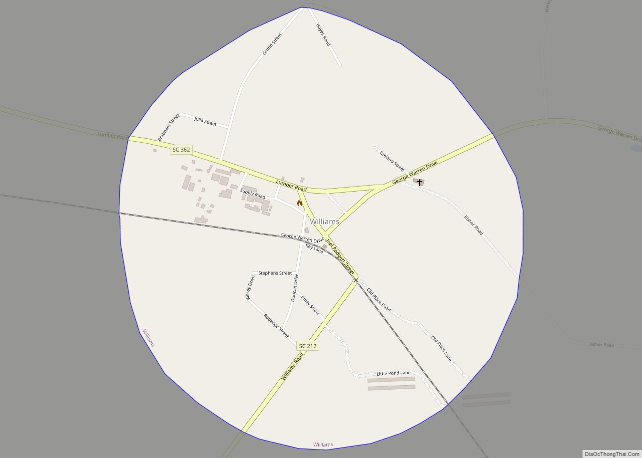
Online Interactive Map
Click on ![]() to view map in "full screen" mode.
to view map in "full screen" mode.
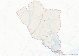
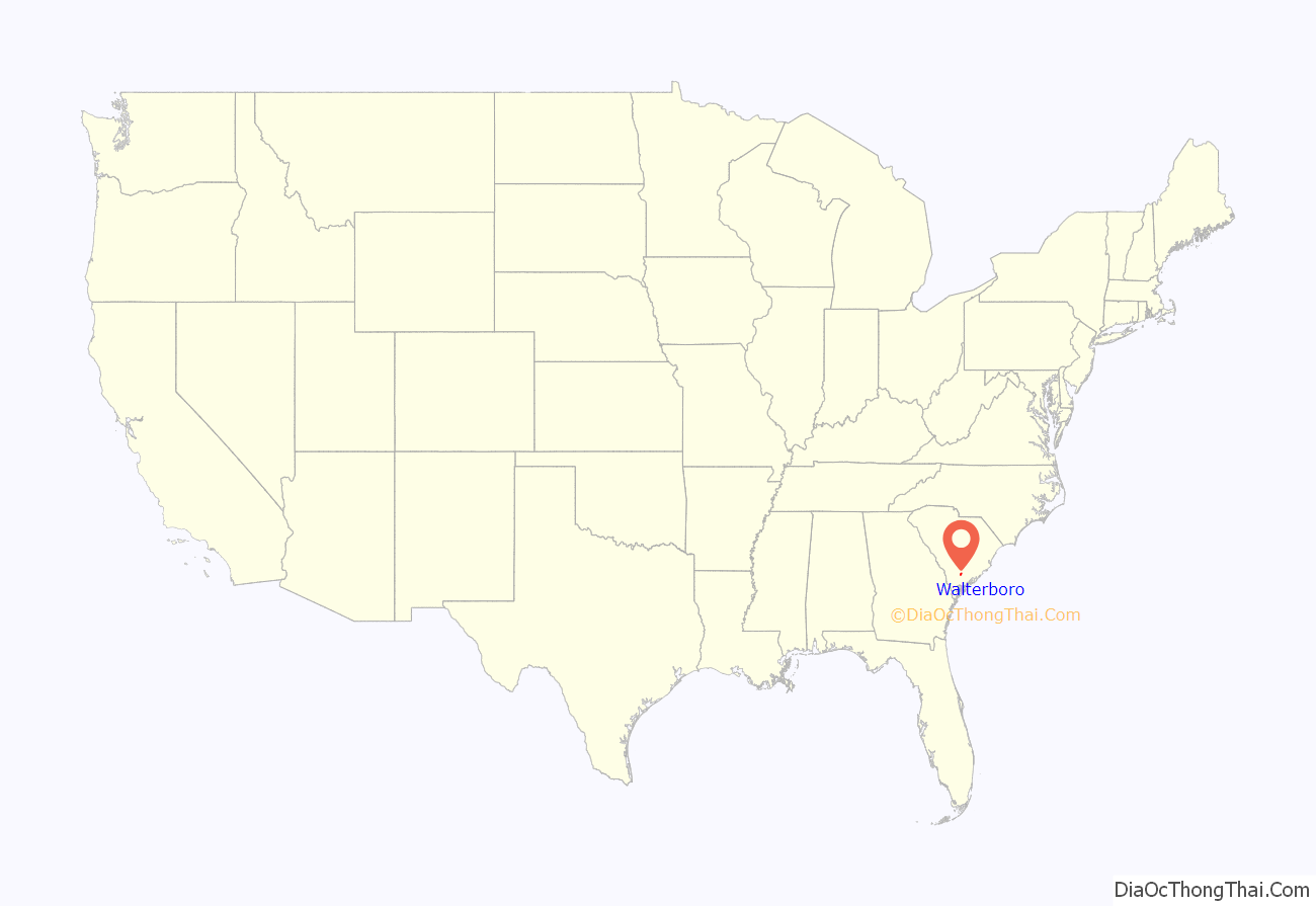
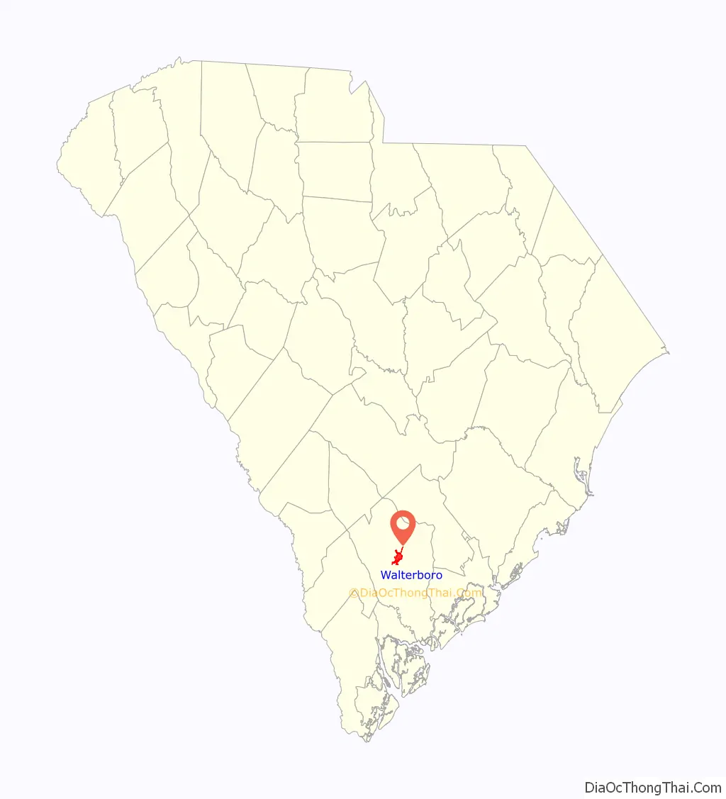
Walterboro location map. Where is Walterboro city?
History
Walterboro (original spelling: Walterborough) was founded in 1783, as a summer retreat for local planters looking to escape their malaria-ridden, Lowcountry plantations. The original settlement was located on a hilly area, covered with pine and hickory trees and called Hickory Valley. Two of the earliest settlers were brothers, Paul and Jacob Walter. The brothers were prosperous, plantation owners, in nearby Jacksonboro. Paul’s small daughter Mary, was taken ill with malaria; a common disease among the families who had plantations in the marshy areas of the Lowcountry, due to the grounds suitability for rice production. To prevent Mary from succumbing to the deadly microbe, the Walter brothers went looking for a healthier location in which to live during the summer months, and came to settle the town; with its later being named in their honor.
In 1817, Walterboro was designated as the third county seat of Colleton County, and has remained such through present-day. This designation was followed by, the construction of a county courthouse and county jail in 1821. The courthouse was designed by well-known architect Robert Mills.
The town quickly spread from the original Hickory Valley location, after its population experienced a significant increase; this being fueled successively by, the town becoming the county seat in 1821, and the establishment of a railroad line that connected the city with Columbia and Charleston in the 1880s.
In 1832, the Irish Catholic community in rural southern Waltersboro (at one point termed Thompson’s Crossroads) established a parish called St. James the Greater Catholic Church, dedicated by Bishop John England. The community later was known as Catholic Hill. After the church was burned down in 1856, and the emancipation of the slaves roughly a decade later, the White community largely left the area. The Black Catholic community maintained their religion for decades without a priest, before a new church was built for them in the 1890s. They became notable in the media in the 21st century, and a documentary on the community was released in 2020.
An airfield was established in the 1930s. In 1942, Walterboro became home to the Walterboro Army Airfield, a sub-base of Columbia Army Air Base, and part of the national network of army air training facilities erected across the U.S. during World War II. The base was established for the purpose of providing advanced air-combat training, to fighter and bomber groups. It also hosted the largest camouflage school in the United States, as well as, a 250-person prisoner of war camp.
In 1944, the airfield changed command and became an advanced combat training base for individual fighters, primarily the black trainees graduating from Tuskegee Army Airfield in Tuskegee, Alabama. Over 500 of the famed Tuskegee Airmen trained at Walterboro Army Airfield, between April 1944 and October 1945, including individuals training as replacement pilots for the 332nd Fighter-Interceptor Squadron, along with the entire 447th Bombardment Group. The base closed in October 1945, returning to its origins as a local airfield.
The establishment of Interstate 95 in the 1960s, made the town a prime overnight stop on the road to Florida or New York.
Presently, Walterboro is dotted with historic homes dating back to 1820, and a downtown area that has kept many of its historic buildings. The city has become increasingly known as an antiquing destination, and is a popular day-trip from Charleston and Beaufort.
Walterboro Road Map
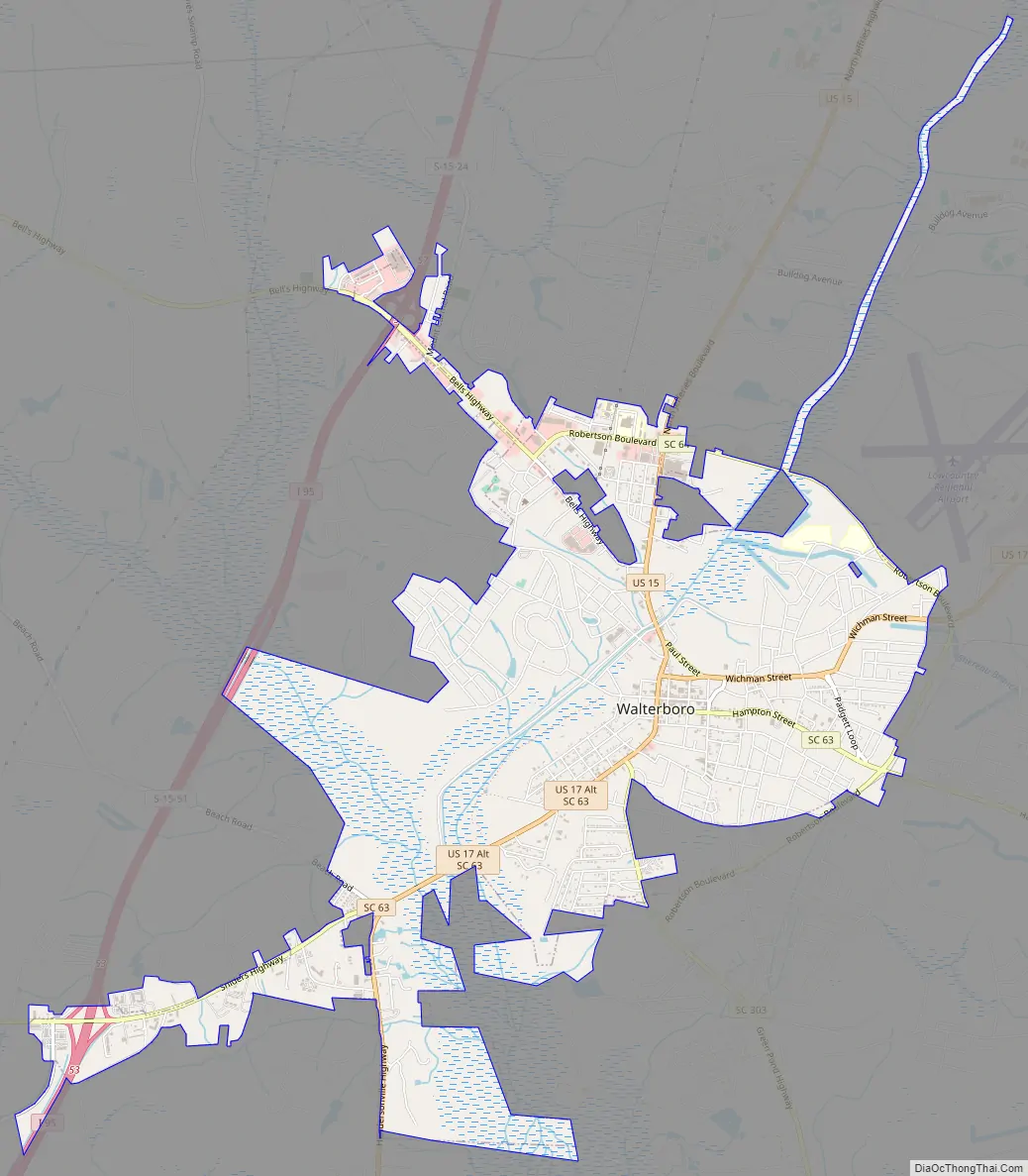
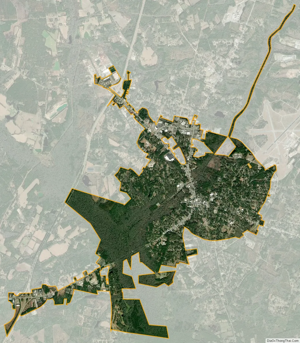
Walterboro city Satellite Map
Geography
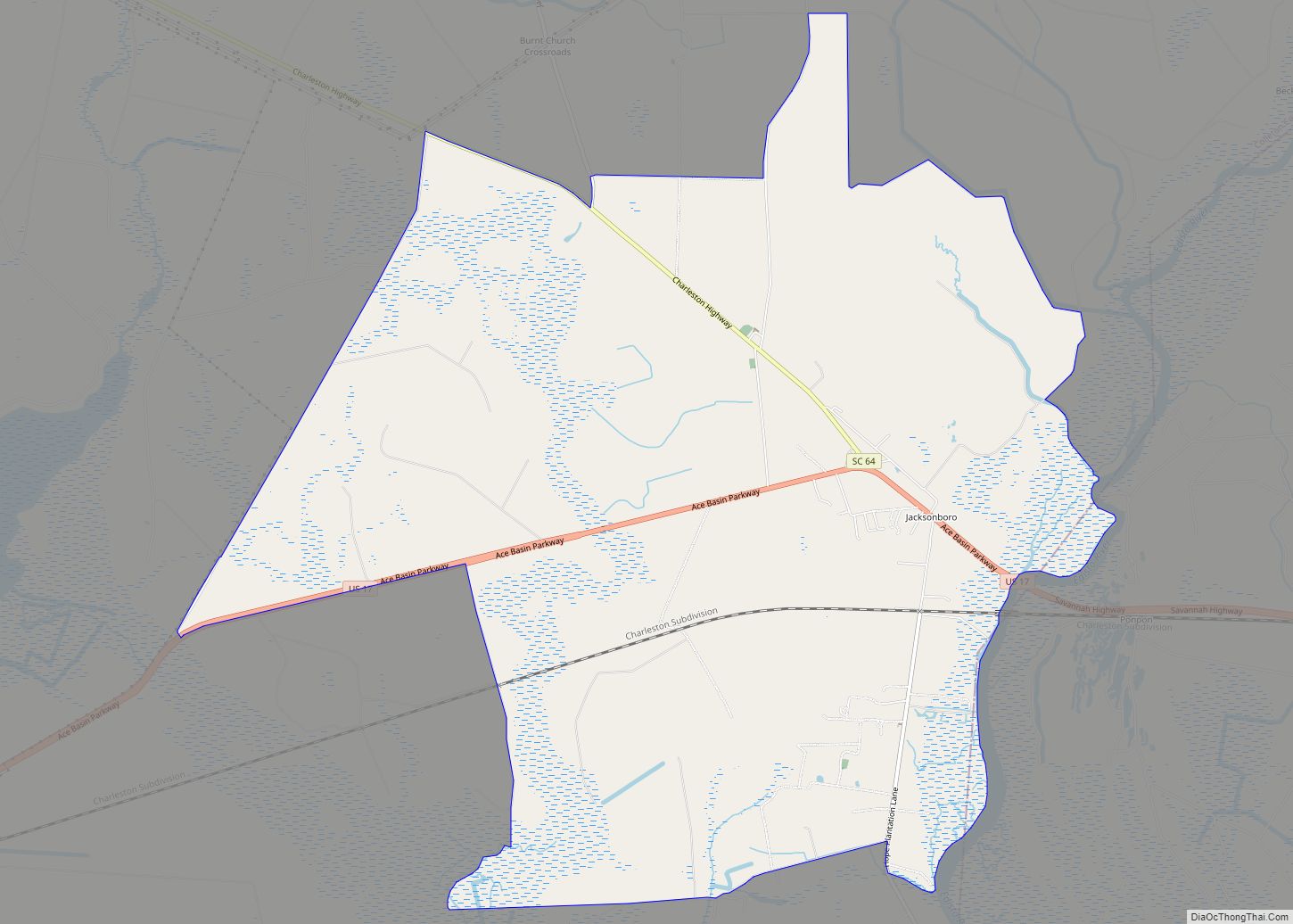
Walterboro is geographically located slightly north to the center of Colleton County at 32°54′15″N 80°39′58″W / 32.90417°N 80.66611°W / 32.90417; -80.66611 (32.904289, −80.666238). Interstate 95 passes west of the city, leading northeast 110 miles (180 km) to Florence, and southwest 67 miles (108 km) to Savannah, Georgia. The southern terminus of U.S. Route 15 is situated in the center of Walterboro; leading northward, running roughly parallel to I-95, reaching St. George in 21 miles (34 km). U.S. Route 17 Alt leads east from US 15, 32 miles (51 km) to Summerville, within the Charleston vicinity, and southwest 21 miles (34 km) to Yemassee. South Carolina Highway 64 leads northwest, past Exit 57 on I-95, 25 miles (40 km) to Ehrhardt, and southeast 16 miles (26 km) to Jacksonboro.
According to the United States Census Bureau, Walterboro has a total area of 6.5 square miles (16.8 km), consisting solely of landmass.
Climate
See also
Map of South Carolina State and its subdivision:- Abbeville
- Aiken
- Allendale
- Anderson
- Bamberg
- Barnwell
- Beaufort
- Berkeley
- Calhoun
- Charleston
- Cherokee
- Chester
- Chesterfield
- Clarendon
- Colleton
- Darlington
- Dillon
- Dorchester
- Edgefield
- Fairfield
- Florence
- Georgetown
- Greenville
- Greenwood
- Hampton
- Horry
- Jasper
- Kershaw
- Lancaster
- Laurens
- Lee
- Lexington
- Marion
- Marlboro
- McCormick
- Newberry
- Oconee
- Orangeburg
- Pickens
- Richland
- Saluda
- Spartanburg
- Sumter
- Union
- Williamsburg
- York
- Alabama
- Alaska
- Arizona
- Arkansas
- California
- Colorado
- Connecticut
- Delaware
- District of Columbia
- Florida
- Georgia
- Hawaii
- Idaho
- Illinois
- Indiana
- Iowa
- Kansas
- Kentucky
- Louisiana
- Maine
- Maryland
- Massachusetts
- Michigan
- Minnesota
- Mississippi
- Missouri
- Montana
- Nebraska
- Nevada
- New Hampshire
- New Jersey
- New Mexico
- New York
- North Carolina
- North Dakota
- Ohio
- Oklahoma
- Oregon
- Pennsylvania
- Rhode Island
- South Carolina
- South Dakota
- Tennessee
- Texas
- Utah
- Vermont
- Virginia
- Washington
- West Virginia
- Wisconsin
- Wyoming