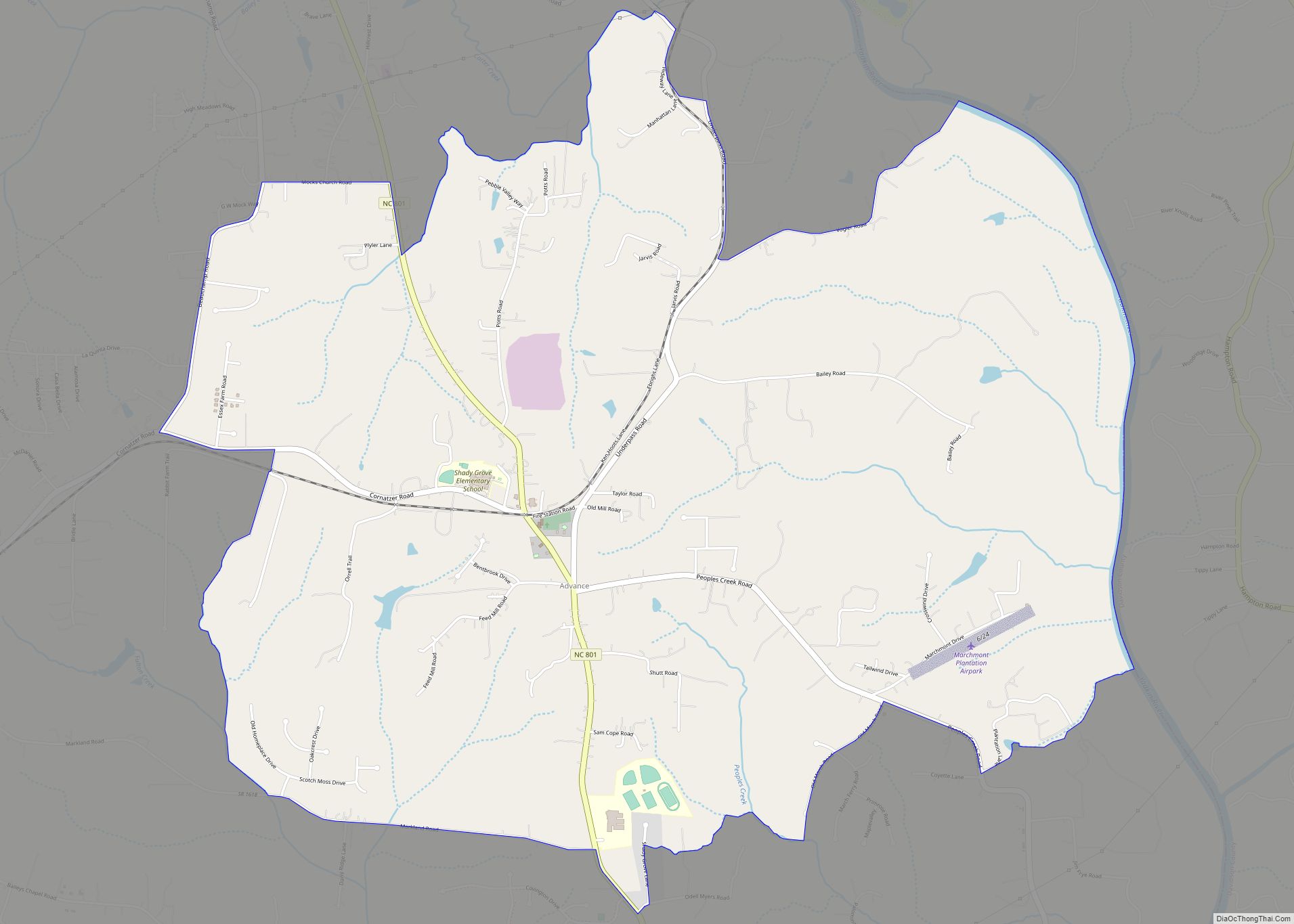
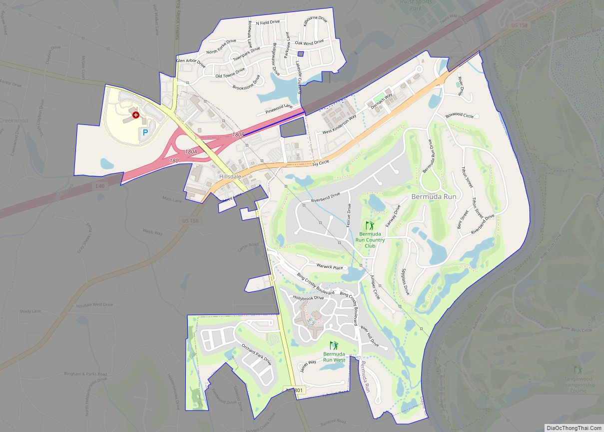
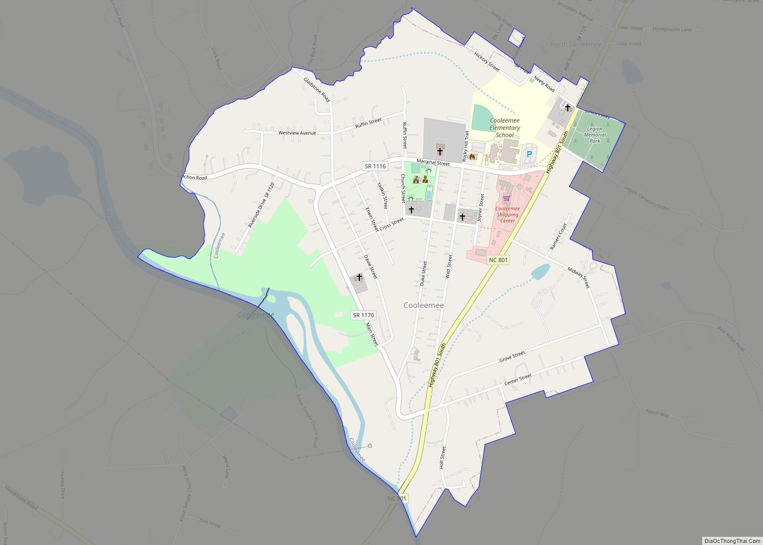
Davie County is a county located in the U.S. state of North Carolina. As of the 2020 census, the population was 42,712. Its county seat is Mocksville.
Davie County is included in the Winston-Salem, NC Metropolitan Statistical Area, which is also included in the Greensboro-Winston-Salem-High Point, NC Combined Statistical Area.
| Name: | Davie County |
|---|---|
| FIPS code: | 37-059 |
| State: | North Carolina |
| Founded: | 1836 |
| Named for: | William R. Davie |
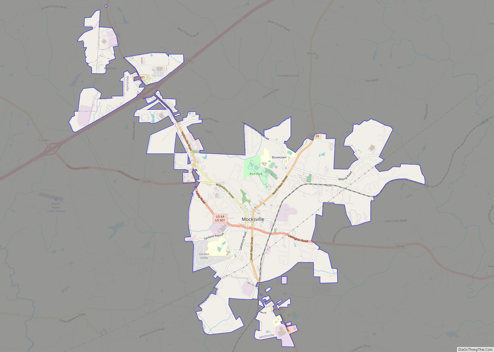
| Seat: | Mocksville |
| Largest town: | Mocksville |
| Total Area: | 267 sq mi (690 km²) |
| Land Area: | 264 sq mi (680 km²) |
| Total Population: | 43,533 |
| Population Density: | 164.9/sq mi (63.7/km²) |
| Time zone: | UTC−5 (Eastern) |
| Summer Time Zone (DST): | UTC−4 (EDT) |
| Website: | www.co.davie.nc.us |
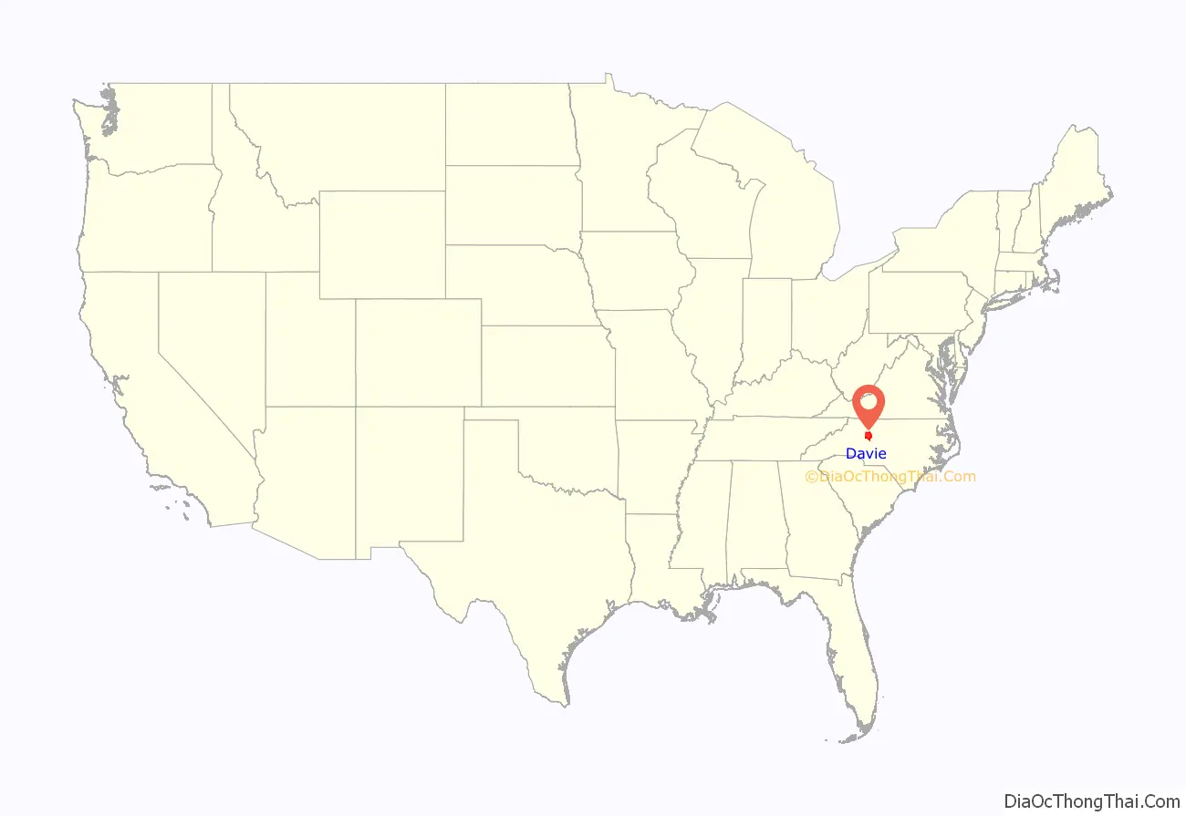
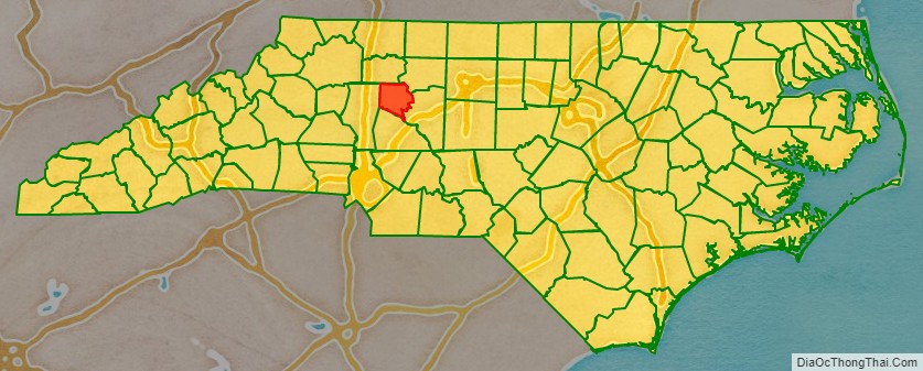
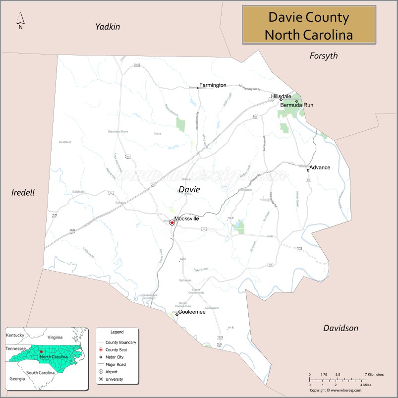
Davie County location map. Where is Davie County?
History
The county was formed in 1836 from Rowan County. It was named for William R. Davie, Governor of North Carolina from 1798 to 1799.
Davie County was initially strongly Unionist. However, 1,147 soldiers from Davie County fought in the American Civil War for the Confederate States of America.
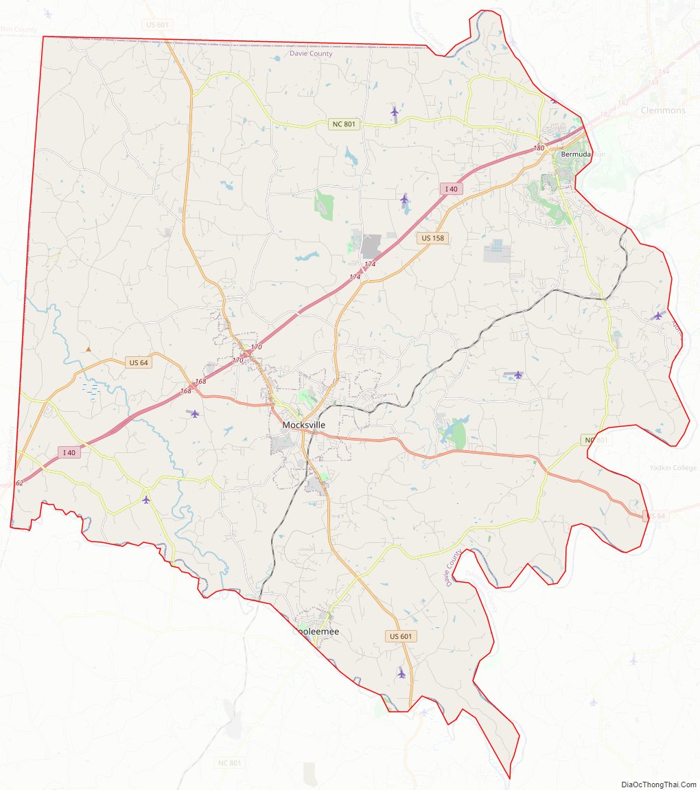
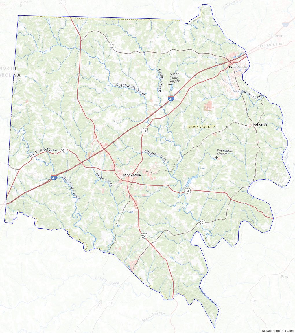
Davie County Road Map
Geography
According to the U.S. Census Bureau, the county has a total area of 267 square miles (690 km), of which 264 square miles (680 km) is land and 3.0 square miles (7.8 km) (1.1%) is water.
Major water bodies
- Bear Creek
- Buffalo Creek
- Carter Creek
- Chinquapin Creek
- Dutchman Creek
- Greasy Creek
- Little Bear Creek
- Little Creek
- South Yadkin River
- Sugar Creek
- Yadkin River
Adjacent counties
- Yadkin County – north
- Forsyth County – northeast
- Davidson County – east
- Rowan County – south
- Iredell County – west
Major highways
- I-40
- US 64
- US 158
- US 601
- NC 801
- NC 901
Davie County Topographic Map
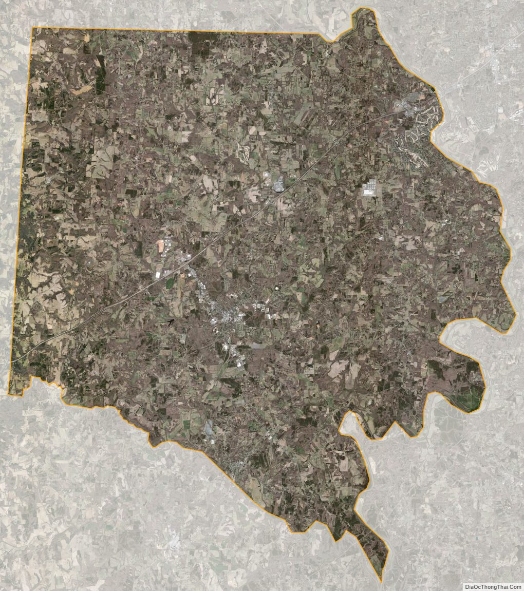
Davie County Satellite Map
Davie County Outline Map