Mocksville is a town in Davie County, North Carolina, United States. The population was 5,900 at the 2020 census. I-40 leads west to Statesville and Hickory, and east to Winston-Salem and Greensboro. Route 64 heads east to Lexington, and west towards Statesville and Taylorsville. It is the county seat of Davie County.
| Name: | Mocksville town |
|---|---|
| LSAD Code: | 43 |
| LSAD Description: | town (suffix) |
| State: | North Carolina |
| County: | Davie County |
| Elevation: | 860 ft (260 m) |
| Total Area: | 7.79 sq mi (20.17 km²) |
| Land Area: | 7.77 sq mi (20.12 km²) |
| Water Area: | 0.02 sq mi (0.05 km²) |
| Total Population: | 5,900 |
| Population Density: | 759.53/sq mi (293.25/km²) |
| ZIP code: | 27028 |
| Area code: | 336 |
| FIPS code: | 3743720 |
| Website: | mocksvillenc.org |
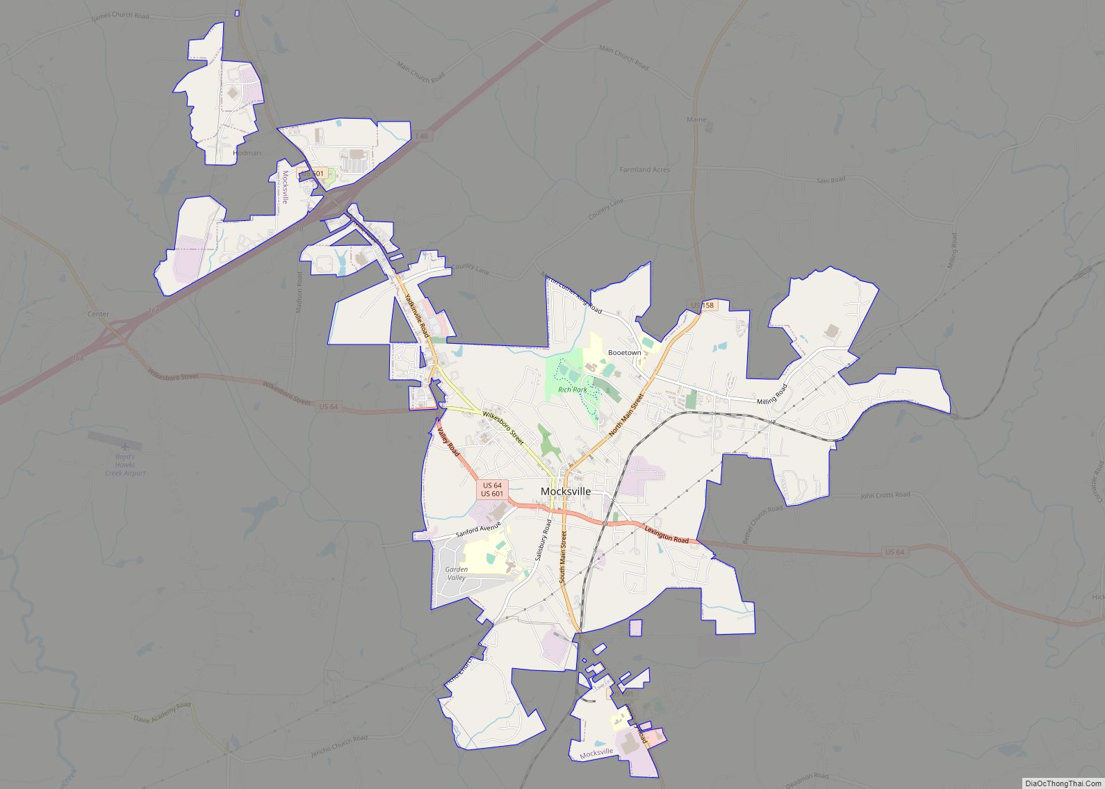
Online Interactive Map
Click on ![]() to view map in "full screen" mode.
to view map in "full screen" mode.
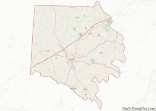
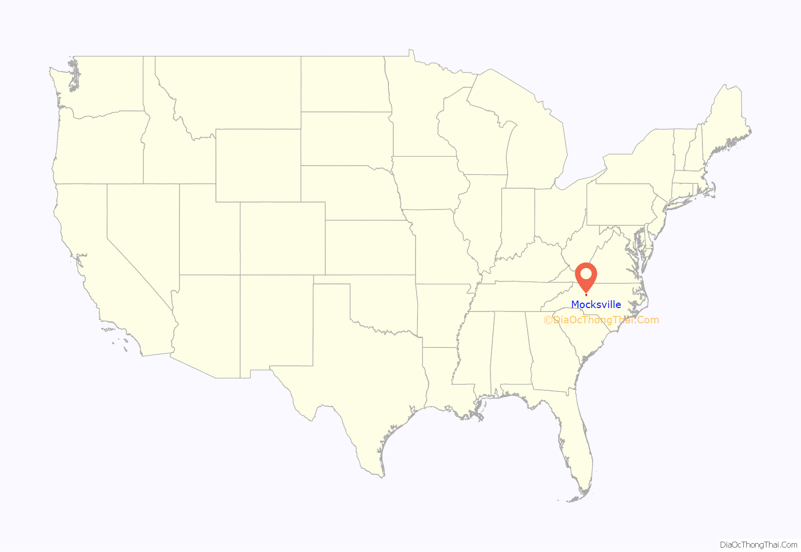
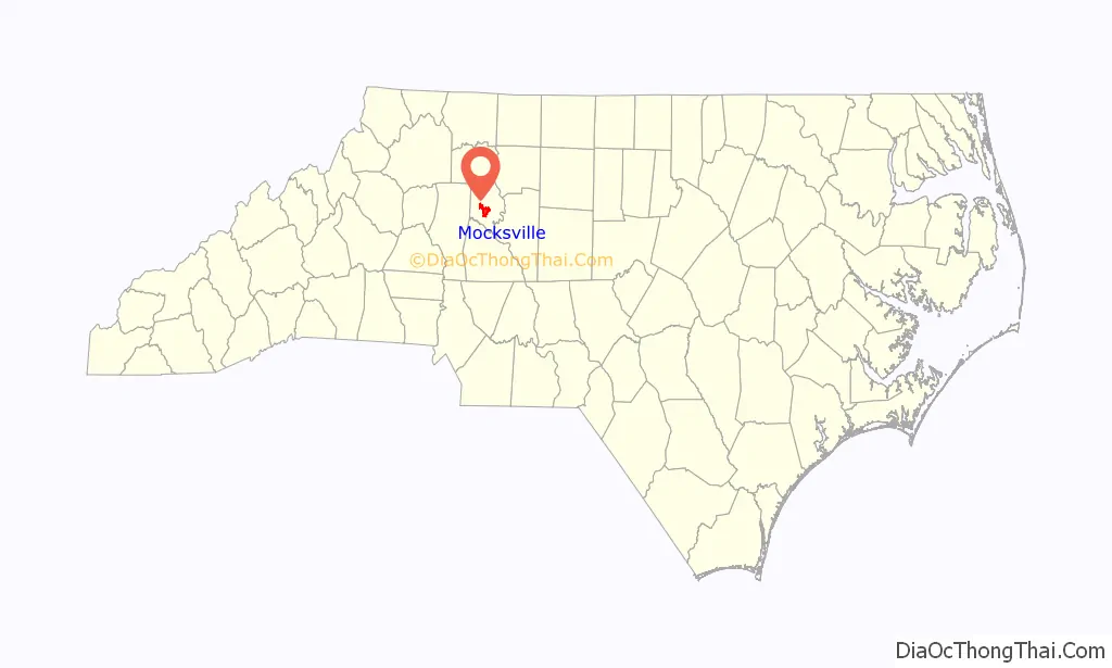
Mocksville location map. Where is Mocksville town?
History
Mocksville was incorporated as a town in 1839. The town was named for the original owner of the town site.
George E. Barnhardt House, Boxwood Lodge, Cana Store and Post Office, Jesse Clement House, Cooleemee, Davie County Courthouse, Davie County Jail, Downtown Mocksville Historic District, Hinton Rowan Helper House, Hodges Business College, McGuire-Setzer House, North Main Street Historic District, and Salisbury Street Historic District are listed on the National Register of Historic Places.
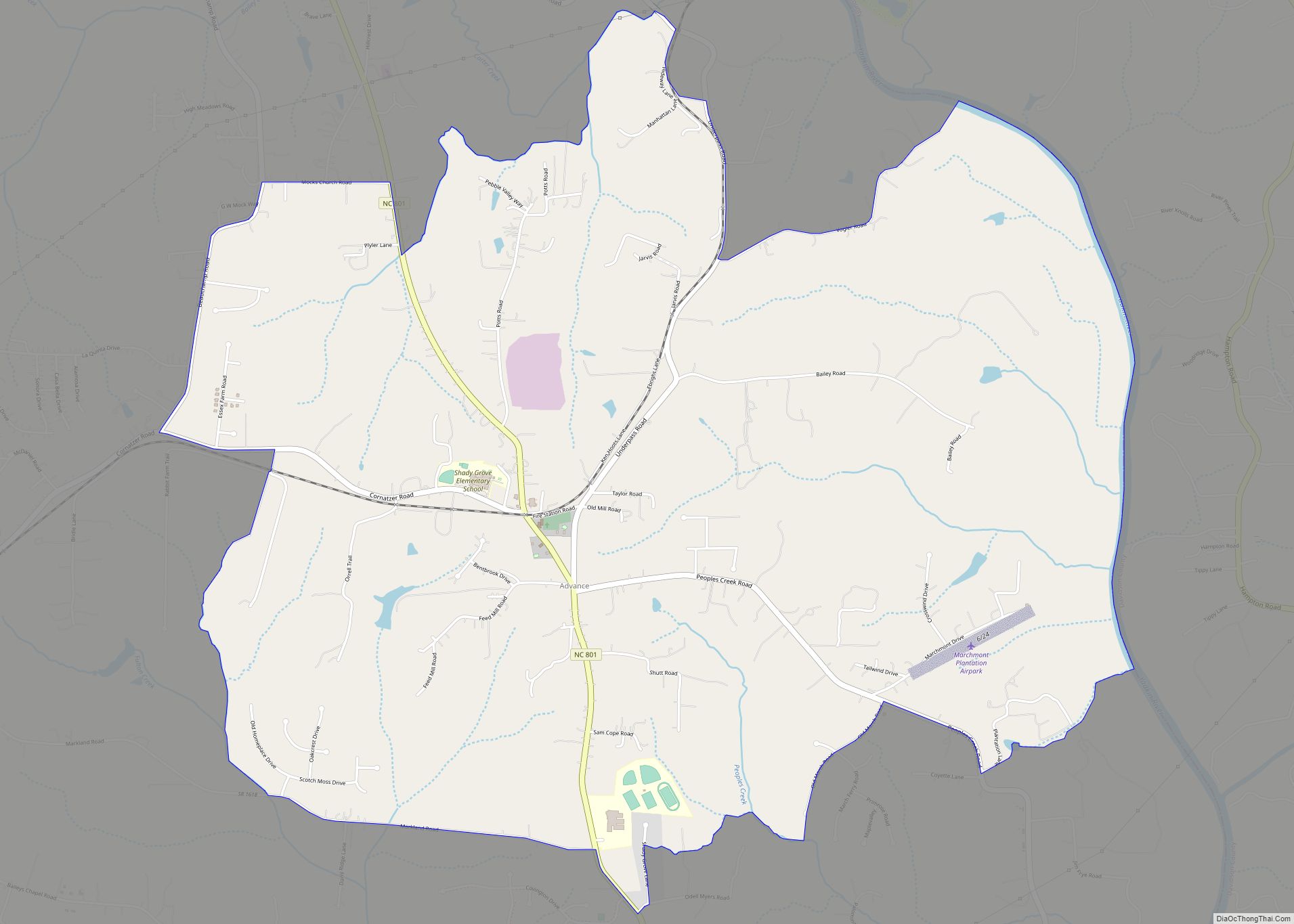
Mocksville Road Map
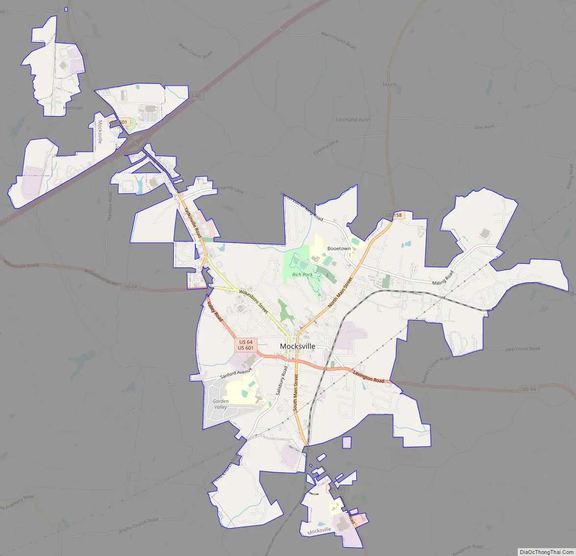
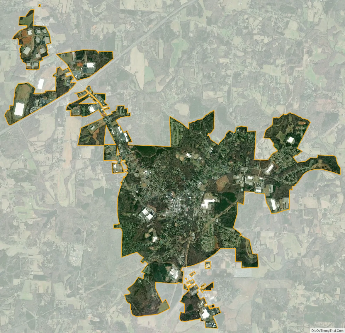
Mocksville city Satellite Map
Geography
Mocksville is located south of the center of Davie County. U.S. Routes 64 and 601 pass through the town, while U.S. Route 158 has its western terminus in the town center. US 64 leads east 19 miles (31 km) to Lexington and west 24 miles (39 km) to Statesville, while US 601 leads north 19 miles (31 km) to Yadkinville and south 17 miles (27 km) to Salisbury. US 158 leads northeast 26 miles (42 km) to Winston-Salem. Interstate 40 passes 3 miles (5 km) northwest of the center of town, with access from Exit 168 (US 64) and Exit 170 (US 601).
According to the United States Census Bureau, the town has a total area of 7.6 square miles (19.6 km), of which 0.01 square miles (0.03 km), or 0.17%, is water.
Located in Mocksville is the Mocksville complex that is made up of metamorphosed and unmetamorphosed gabbros including Farmington Gabbro
Climate
According to the Köppen Climate Classification system, Mocksville has a humid subtropical climate, abbreviated “Cfa” on climate maps. The hottest temperature recorded in Mocksville was 103 °F (39.4 °C) on August 20–21, 1983 and August 10, 2007, while the coldest temperature recorded was −7 °F (−21.7 °C) on February 5, 1996.
See also
Map of North Carolina State and its subdivision:- Alamance
- Alexander
- Alleghany
- Anson
- Ashe
- Avery
- Beaufort
- Bertie
- Bladen
- Brunswick
- Buncombe
- Burke
- Cabarrus
- Caldwell
- Camden
- Carteret
- Caswell
- Catawba
- Chatham
- Cherokee
- Chowan
- Clay
- Cleveland
- Columbus
- Craven
- Cumberland
- Currituck
- Dare
- Davidson
- Davie
- Duplin
- Durham
- Edgecombe
- Forsyth
- Franklin
- Gaston
- Gates
- Graham
- Granville
- Greene
- Guilford
- Halifax
- Harnett
- Haywood
- Henderson
- Hertford
- Hoke
- Hyde
- Iredell
- Jackson
- Johnston
- Jones
- Lee
- Lenoir
- Lincoln
- Macon
- Madison
- Martin
- McDowell
- Mecklenburg
- Mitchell
- Montgomery
- Moore
- Nash
- New Hanover
- Northampton
- Onslow
- Orange
- Pamlico
- Pasquotank
- Pender
- Perquimans
- Person
- Pitt
- Polk
- Randolph
- Richmond
- Robeson
- Rockingham
- Rowan
- Rutherford
- Sampson
- Scotland
- Stanly
- Stokes
- Surry
- Swain
- Transylvania
- Tyrrell
- Union
- Vance
- Wake
- Warren
- Washington
- Watauga
- Wayne
- Wilkes
- Wilson
- Yadkin
- Yancey
- Alabama
- Alaska
- Arizona
- Arkansas
- California
- Colorado
- Connecticut
- Delaware
- District of Columbia
- Florida
- Georgia
- Hawaii
- Idaho
- Illinois
- Indiana
- Iowa
- Kansas
- Kentucky
- Louisiana
- Maine
- Maryland
- Massachusetts
- Michigan
- Minnesota
- Mississippi
- Missouri
- Montana
- Nebraska
- Nevada
- New Hampshire
- New Jersey
- New Mexico
- New York
- North Carolina
- North Dakota
- Ohio
- Oklahoma
- Oregon
- Pennsylvania
- Rhode Island
- South Carolina
- South Dakota
- Tennessee
- Texas
- Utah
- Vermont
- Virginia
- Washington
- West Virginia
- Wisconsin
- Wyoming