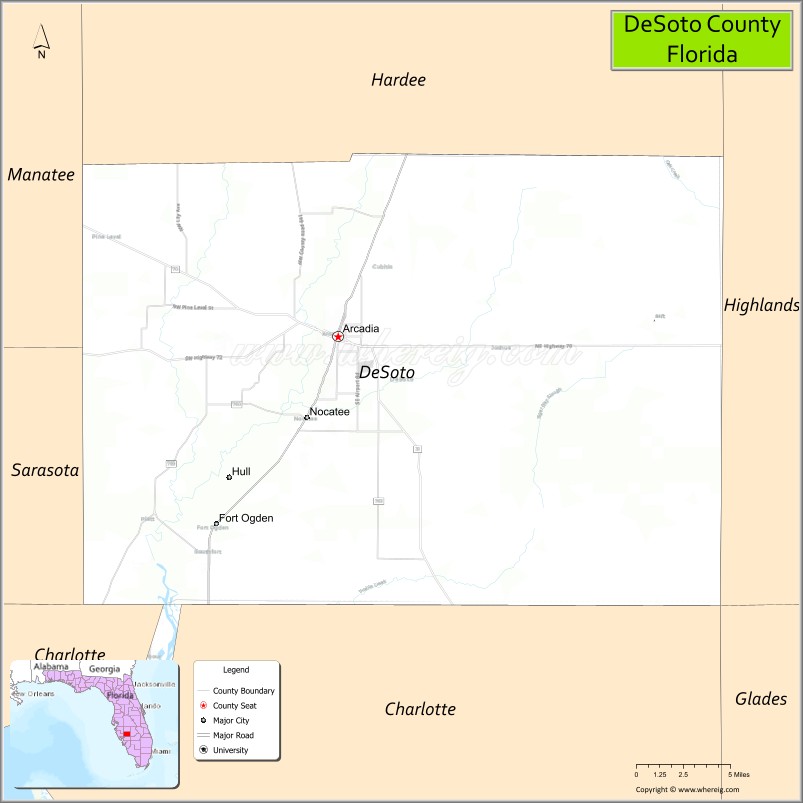
| Name: | Desoto County |
|---|---|
| FIPS code: | 12-027 |
| State: | Florida |
| Founded: | May 19, 1887 |
| Named for: | Hernando de Soto |
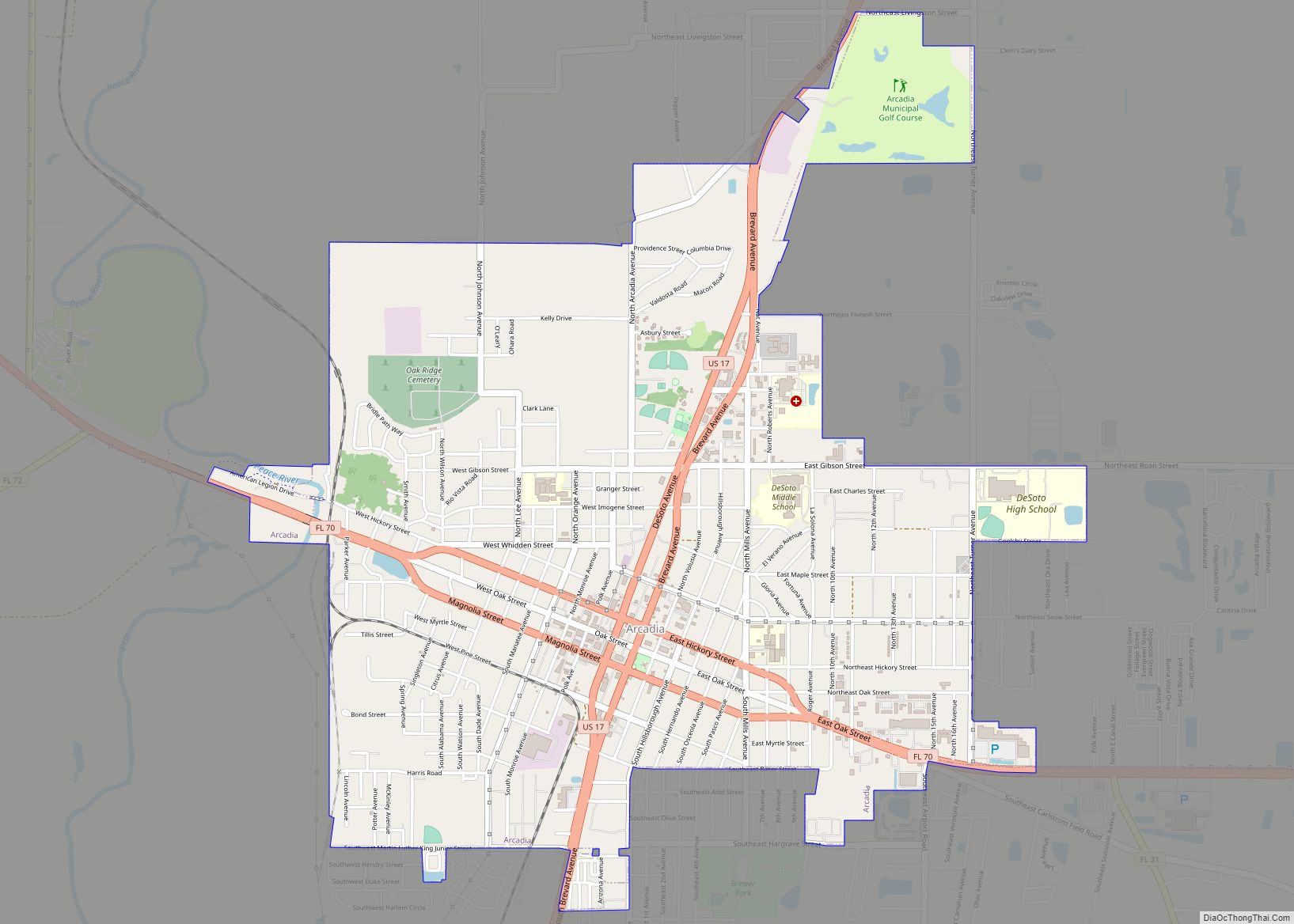
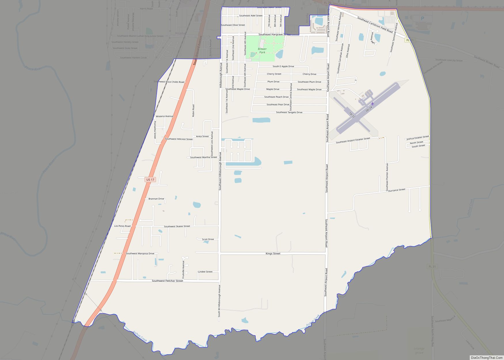
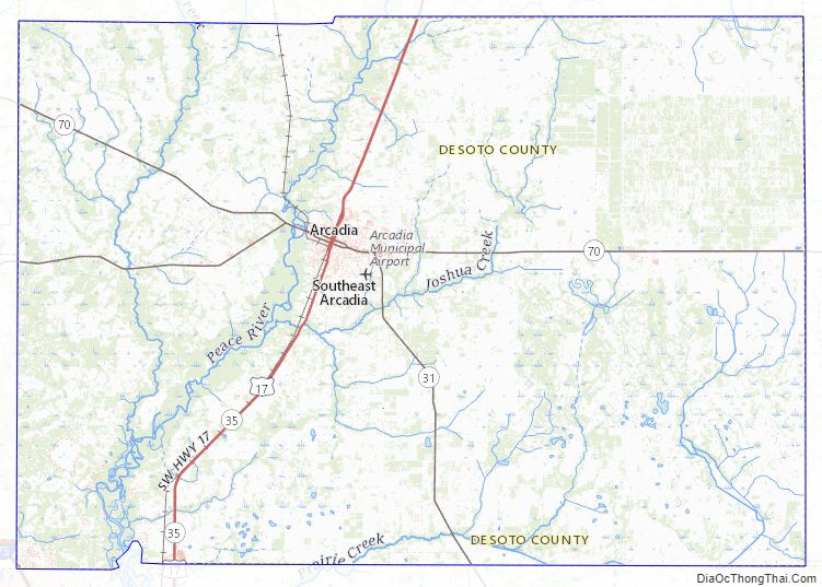
| Seat: | Arcadia |
| Largest city: | Arcadia |
| Total Area: | 639 sq mi (1,660 km²) |
| Land Area: | 637 sq mi (1,650 km²) |
| Total Population: | 33,976 |
| Population Density: | 55/sq mi (21/km²) |
| Time zone: | UTC−5 (Eastern) |
| Summer Time Zone (DST): | UTC−4 (EDT) |
| Website: | www.desotobocc.com |
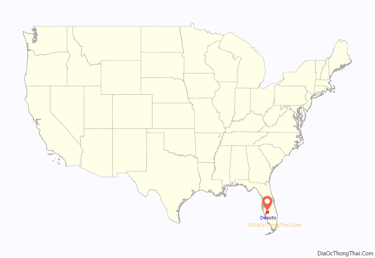
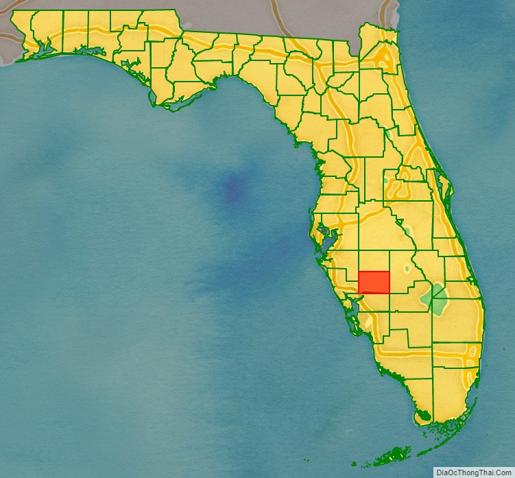
Desoto County location map. Where is Desoto County?
History
Prior to the arrival of the Spanish, what is now DeSoto County was within the territory of the Calusa Indians.
In 1513, Ponce De Leon sailed into present-day Charlotte Harbor near the mouth of the Peace River to put in for repairs and maintenance on his ships. While there the Spanish encountered Calusa Indians and soon after an argument broke out and several died on both sides. Then the Spanish kidnapped several Calusa and departed Charlotte Harbor and sailed S.W. away from the west coast of Florida. This occurred within the original boundaries of DeSoto County.
In 1521, Ponce De Leon attempted to establish a colony at or near Charlotte Harbor but again was turned away by the Calusa who wounded him. Shortly after, he died and was buried in Puerto Rico.
In 1528 the Spanish Conquistadors Panfilo De Narvaez and Cabeza De Vaca came to present-day Arcadia where they captured several Calusa Indians who told them of great quantities of gold located to the north and offered to guide them there.
In 1539 the Spanish Explorer Hernando DeSoto, for whom the county is named, anchored in Charlotte Harbor and set about to explore the region with mixed results. Eventually, he made his way up the coast to present-day Manatee County and went inland from there.
While Florida was claimed by Spain the moment it was discovered, the territory of La Florida was not formalized until 1565 with the founding of St. Augustine. At that point, what is now DeSoto County became part of La Florida. In 1763, the region became part of East Florida under British Rule. In 1783, East Florida was returned to Spain at which point today’s DeSoto county was once again Spanish territory. In 1821 it became U.S. Territory.
In 1841 Camp Ogden, later Fort Ogden was built as a staging area for the U.S. Army during the 2nd Seminole War, in the southwestern part of present-day DeSoto County.
In 1870, the Joshua Creek Church and neighboring cemetery was founded.
In the 1870s John W. Whidden, a Confederate veteran and former Manatee county clerk, settled along the Joshua Creek where he founded a cattle ranch raising thousands of head of cattle. Also in the 1870s, Union veteran Robert C. Hendry took up cattle ranching on the Joshua Creek in the now-defunct settlement of Davidson.
In 1876 the Fort Ogden Post Office was founded and remains the oldest post office in the county.
DeSoto County was created in 1887 from Manatee County. It was named for Spanish explorer Hernando de Soto, whose name was also honored in Hernando County.
DeSoto County originally included several other present-day counties until 1921, when the Florida legislature created the following new counties: Charlotte, Glades, Hardee, and Highlands.
During World War II, DeSoto County operated the Carlstrom Field Air Base, which provided training for both American and British pilots. Twenty-three British pilots were killed while training at the base and are honored at DeSoto County’s Oak Ridge Cemetery, which is located in the town of Arcadia. In 1945, the base turned out its last cadets and was decommissioned. The base was then sold to the State of Florida for one dollar and later converted into a mental health facility known as G. Pierce Wood Memorial Hospital. The hospital has since been converted into a facility for juvenile offenders. The facility was closed and is now up for sale.
On August 13, 2004, Hurricane Charley passed directly through DeSoto County. Hurricane-force winds persisted for an hour, damaging most of the structures in the county and causing some to be completely destroyed.
Desoto County Road Map
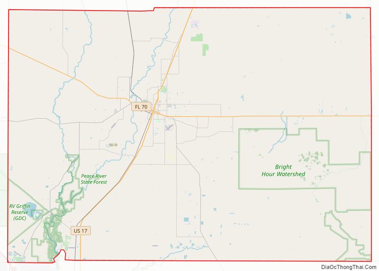
Geography
According to the U.S. Census Bureau, the county has a total area of 639 square miles (1,660 km), of which 637 square miles (1,650 km) is land and 2.4 square miles (6.2 km) (0.4%) is water. The highest elevation in DeSoto County is 96 feet and is located right on the border between DeSoto County and Highlands County and is about three miles south of the border with Hardee County. The lowest elevation in DeSoto County is sea level and is located in the Peace River near its mouth.
Adjacent counties
- Hardee County, Florida – north
- Highlands County, Florida – east
- Glades County, Florida – southeast
- Charlotte County, Florida – south
- Sarasota County, Florida – west
- Manatee County, Florida – northwest
Lakes
The largest body of water in DeSoto County not including the Peace River is a man made reservoir located within the RV Griffin Reserve and is not open to the public. The largest natural lake in DeSoto County is Sour Orange lake and is located at 27°07’23.2″N 81°39’07.0″W Lake Operation is located at 27°06’56.0″N 81°39’43.0″W Split Lake is located at 27°10’33.5″N 81°37’18.7″W Besides the Peace River, and the three above bodies of water, there are few other natural bodies of water of note, mostly small ponds and most are not named. There are about as many man made retention ponds in DeSoto County.
Rivers
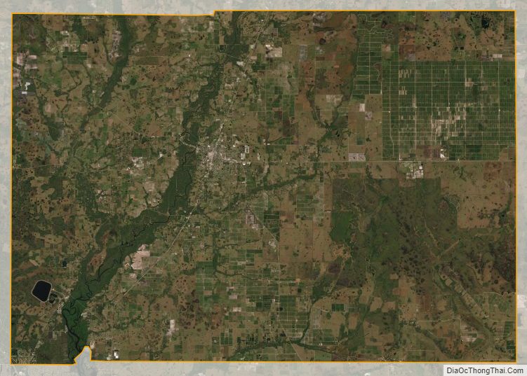
- Peace River
Desoto County Topographic Map
Desoto County Satellite Map
Desoto County Outline Map