Arcadia is a city and county seat of DeSoto County, Florida, United States. Its population was 7,637 as of the 2010 census, with an estimated population of 7,722 in 2014. Arcadia’s Historic District is listed on the National Register of Historic Places.
| Name: | Arcadia city |
|---|---|
| LSAD Code: | 25 |
| LSAD Description: | city (suffix) |
| State: | Florida |
| County: | DeSoto County |
| Elevation: | 60 ft (20 m) |
| Total Area: | 4.43 sq mi (11.48 km²) |
| Land Area: | 4.43 sq mi (11.47 km²) |
| Water Area: | 0.01 sq mi (0.02 km²) |
| Population Density: | 1,675.70/sq mi (647.01/km²) |
| ZIP code: | 34265, 34266 & 34269 |
| Area code: | 863 |
| FIPS code: | 1201750 |
| Website: | www.arcadia-fl.gov |
Online Interactive Map
Click on ![]() to view map in "full screen" mode.
to view map in "full screen" mode.
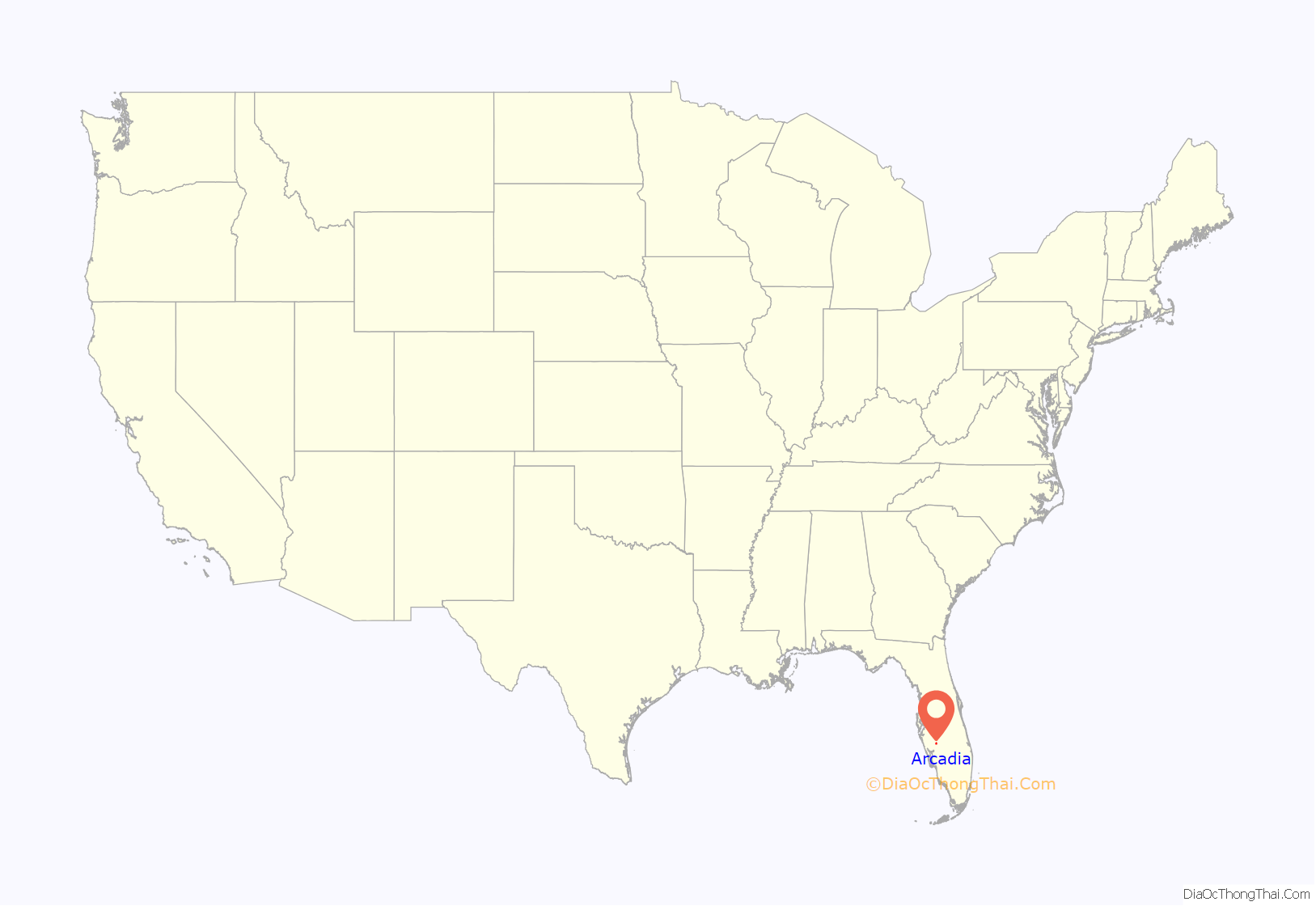
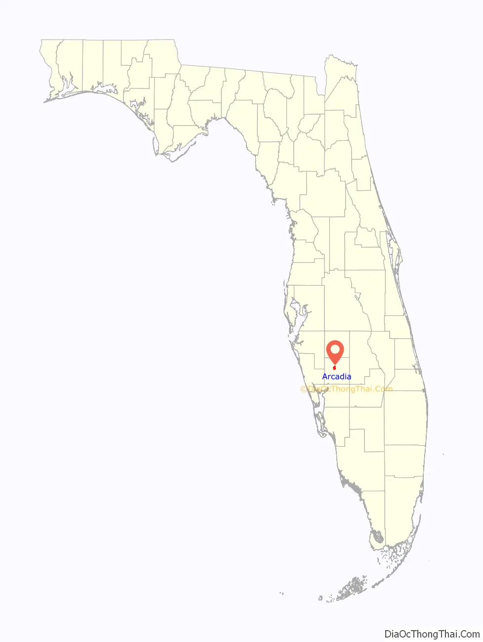
Arcadia location map. Where is Arcadia city?
History
According to The Atlas of Florida, “The Rev. James Madison (“Boss”) Hendry (1839–1922) named the town in honor of Arcadia Albritton (1861–1932), a daughter of Thomas H. and Fannie (Waldron) Albritton, pioneer settlers. Arcadia had baked him a cake for his birthday, and he appreciated it so much that he named the city after her.”
In 1886, transportation improved in Arcadia when the Florida Southern Railway (later the Atlantic Coast Line Railroad) was built through Arcadia on its way from Bartow to Punta Gorda. The railway caused Arcadia to grow significantly, which led to it becoming incorporated a year later. A second railroad line, the Charlotte Harbor and Northern Railway (later the Seaboard Air Line Railroad), was built through Arcadia from 1907 to 1910 on its way from Mulberry to Boca Grande. Both lines have since been consolidated into a single line by CSX with the Seaboard line surviving north of Arcadia and the Atlantic Coast Line surviving to the south. Arcadia was also served by the short-lived East and West Coast Railway, which connected Arcadia with Bradenton from 1915 to 1934.
During the late 19th century Arcadia was the county seat of what would become many counties. In 1921 legislation enacted called for Arcadia to remain the county seat of DeSoto County and resulted in the creation of the present-day counties of Charlotte, Hardee, Glades and Highlands. Prior to this breakup, Arcadia’s population had grown considerably, with over 1,000 permanent residents and 3,000 sq mi (7,800 km) for ranching.
On Thanksgiving Day in 1905, the town was destroyed by a large-scale fire that originated from a midtown livery stable. The fire was exacerbated because the town did not have a working water system or fire department. The estimated monetary damage was $250,000, but no loss of life occurred. Much of the business district was not spared. The town recovered only years later.
Oak Street is the “main street” in Arcadia. The downtown is far more elaborate than neighboring counties’ downtown areas, as Arcadia is older and was their county seat prior to the formation of their present counties. Arcadia is also home to many early 20th-century homes, houses of worship, and several historic public buildings.
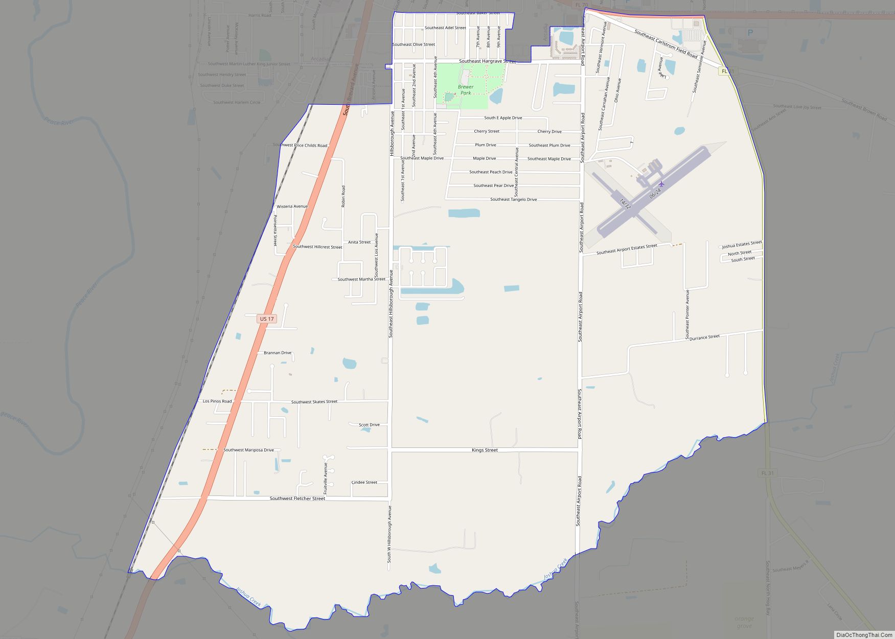
From 1917 to 1922, Arcadia was the home of Carlstrom Field, a grass airfield of the U.S. Army Air Service named for deceased aviation pioneer Victor Carlstrom. Carlstrom Field was used for pilot training both during and after World War I. In May 1941, the site again became an airfield for military primary flight training, operated by the Embry–Riddle Aeronautical Institute (now Embry–Riddle Aeronautical University). Carlstrom Field, one of several satellite fields in the Fort Myers area, also trained pilots for the Royal Air Force until its closing in 1945.
Arcadia’s historic buildings include the Johnson-Smith House, William Oswell Ralls House, and Micajah T. Singleton House. Also, around 3,400 acres, which includes the downtown area, are part of the Arcadia Historic District.
After three Arcadia children, the Ray brothers, were diagnosed with HIV in 1986, school officials refused to let them attend school. The Ray family won a $1.1 million judgement against the county school system, but were forced to leave Arcadia after their home was burned down in 1987.
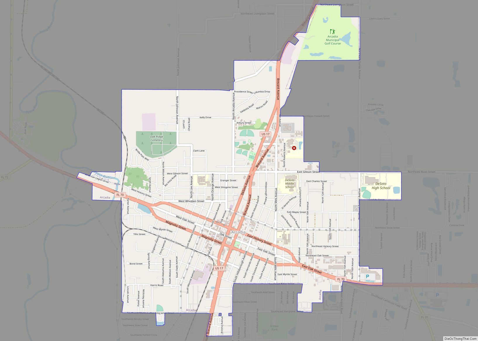
Arcadia Road Map

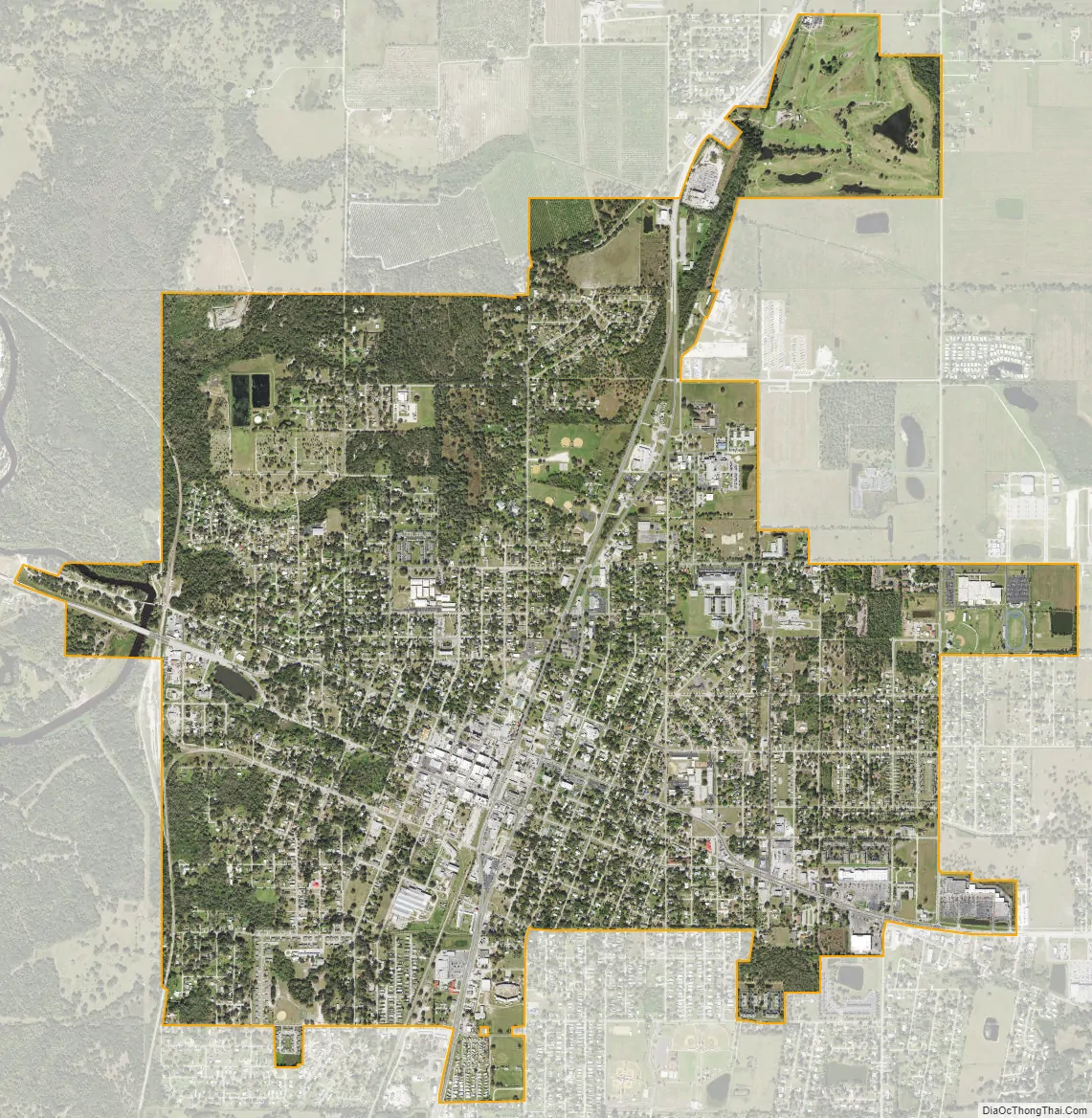
Arcadia city Satellite Map
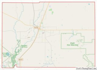
Geography
Arcadia is located slightly northwest of the center of DeSoto County at 27°13’N 81°52’W (27.2176, –81.8599). The Peace River flows past the west side of the city on its way southwest to tidewater at Punta Gorda. Most of Arcadia is more than 40 feet (12 m) above sea level and portions of Arcadia near the center of the city are as high as 65 feet (20 m) above sea level, giving Arcadia one of the highest elevations for a city in Florida.
U.S. Route 17 passes through the center of Arcadia, leading north 50 miles (80 km) to Bartow and southwest 26 miles (42 km) to its terminus at Punta Gorda. Florida State Road 70 crosses US 17 in the center of Arcadia and leads east 64 miles (103 km) to Okeechobee and west-northwest 48 miles (77 km) to South Bradenton. Via SR 72, which splits from SR 70 just west of Arcadia, it is 44 miles (71 km) west to South Sarasota.
According to the United States Census Bureau, Arcadia has a total area of 4.1 square miles (10.6 km), of which 0.01 square miles (0.02 km), or 0.15%, is covered by water.
See also
Map of Florida State and its subdivision:- Alachua
- Baker
- Bay
- Bradford
- Brevard
- Broward
- Calhoun
- Charlotte
- Citrus
- Clay
- Collier
- Columbia
- Desoto
- Dixie
- Duval
- Escambia
- Flagler
- Franklin
- Gadsden
- Gilchrist
- Glades
- Gulf
- Hamilton
- Hardee
- Hendry
- Hernando
- Highlands
- Hillsborough
- Holmes
- Indian River
- Jackson
- Jefferson
- Lafayette
- Lake
- Lee
- Leon
- Levy
- Liberty
- Madison
- Manatee
- Marion
- Martin
- Miami-Dade
- Monroe
- Nassau
- Okaloosa
- Okeechobee
- Orange
- Osceola
- Palm Beach
- Pasco
- Pinellas
- Polk
- Putnam
- Saint Johns
- Saint Lucie
- Santa Rosa
- Sarasota
- Seminole
- Sumter
- Suwannee
- Taylor
- Union
- Volusia
- Wakulla
- Walton
- Washington
- Alabama
- Alaska
- Arizona
- Arkansas
- California
- Colorado
- Connecticut
- Delaware
- District of Columbia
- Florida
- Georgia
- Hawaii
- Idaho
- Illinois
- Indiana
- Iowa
- Kansas
- Kentucky
- Louisiana
- Maine
- Maryland
- Massachusetts
- Michigan
- Minnesota
- Mississippi
- Missouri
- Montana
- Nebraska
- Nevada
- New Hampshire
- New Jersey
- New Mexico
- New York
- North Carolina
- North Dakota
- Ohio
- Oklahoma
- Oregon
- Pennsylvania
- Rhode Island
- South Carolina
- South Dakota
- Tennessee
- Texas
- Utah
- Vermont
- Virginia
- Washington
- West Virginia
- Wisconsin
- Wyoming