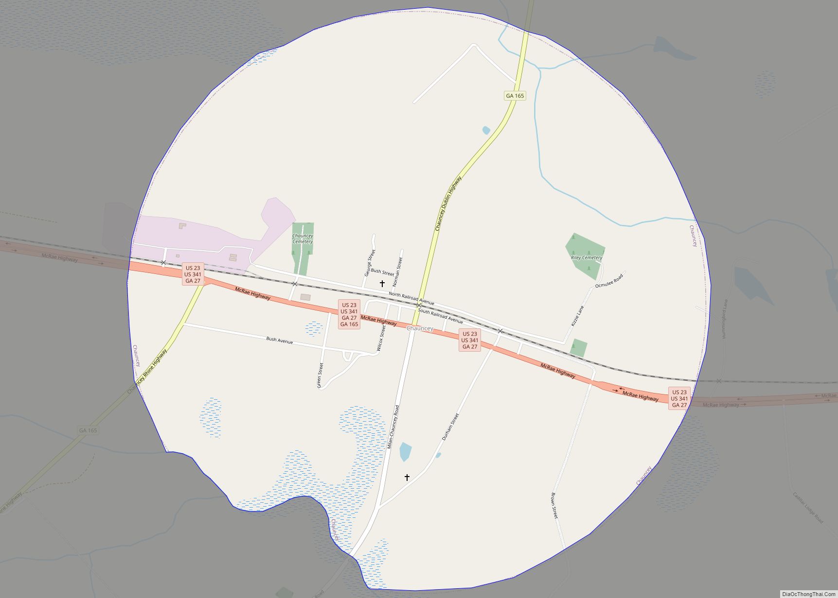
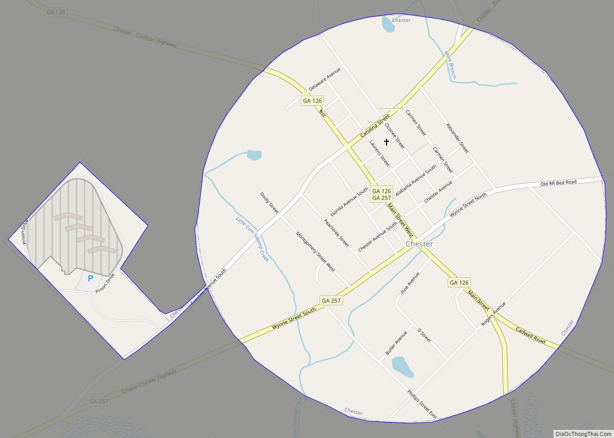
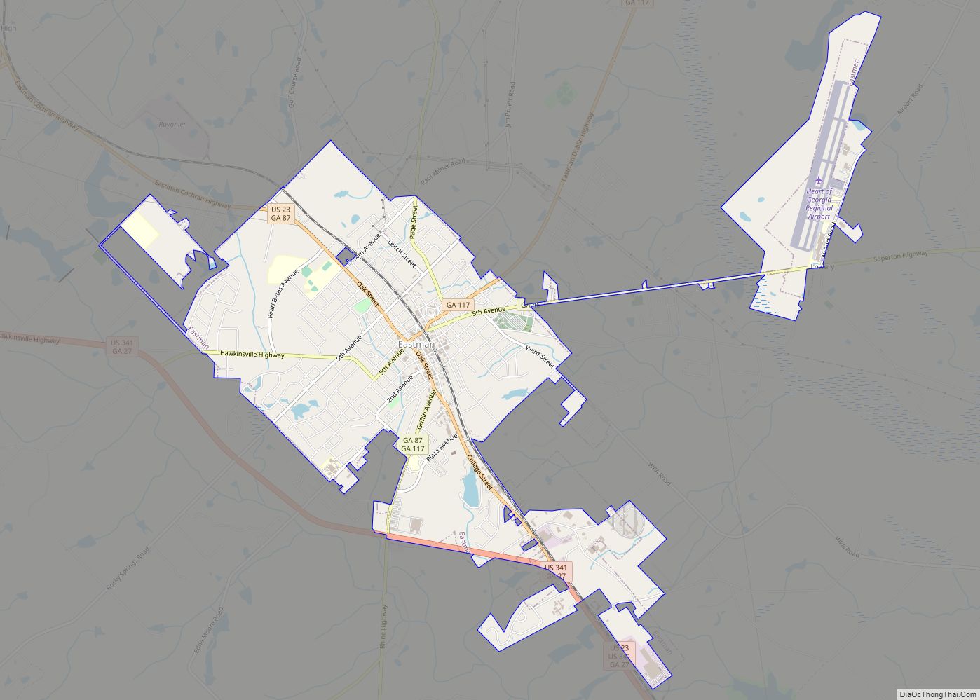
Dodge County is a county located in the central portion of the U.S. state of Georgia. As of 2020, the population was 19,925. The county seat is Eastman. Dodge County lies in the Historic South and Black Belt region of Georgia, an area that was devoted to cotton production in the antebellum years. It has significant historic buildings and plantations, has a substantial African-American population, and shows cultural aspects of the South.
| Name: | Dodge County |
|---|---|
| FIPS code: | 13-091 |
| State: | Georgia |
| Founded: | 1870 |
| Named for: | William E. Dodge |
| Seat: | Eastman |
| Largest city: | Eastman |
| Total Area: | 503 sq mi (1,300 km²) |
| Land Area: | 496 sq mi (1,280 km²) |
| Total Population: | 19,925 |
| Population Density: | 40/sq mi (20/km²) |
| Time zone: | UTC−5 (Eastern) |
| Summer Time Zone (DST): | UTC−4 (EDT) |
| Website: | www.dodgecountyga.com |
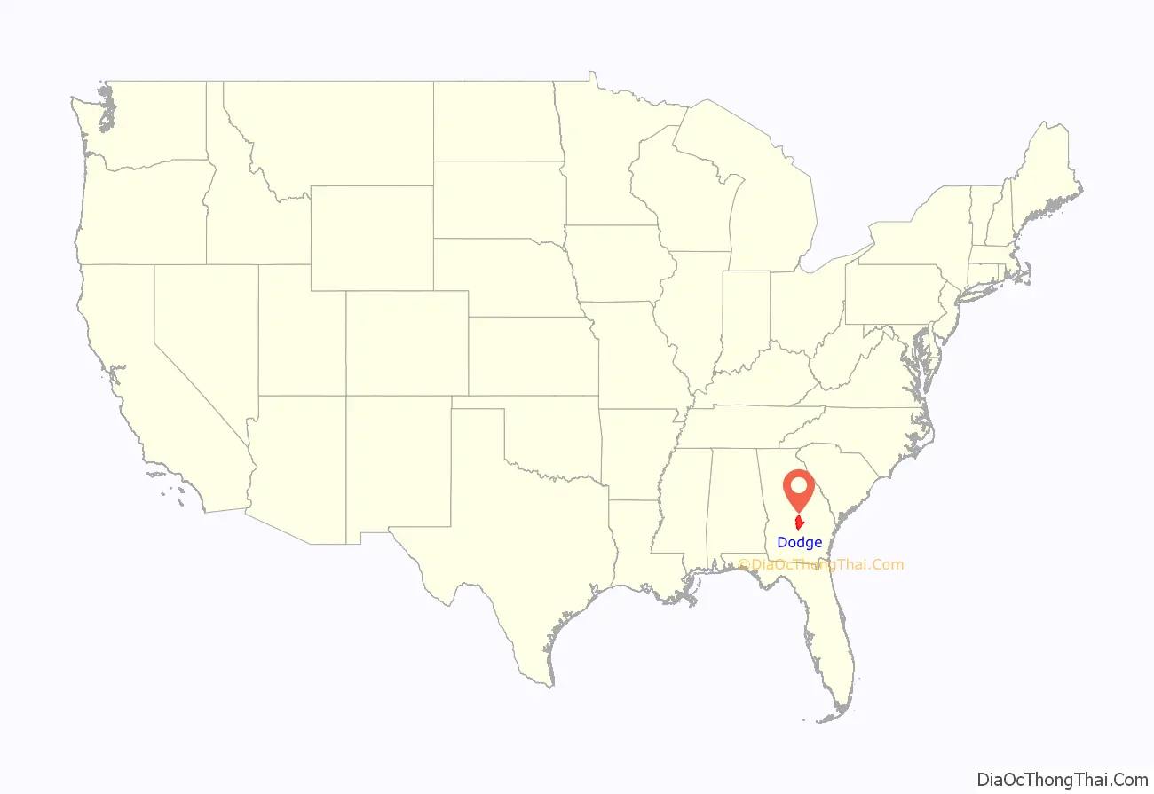
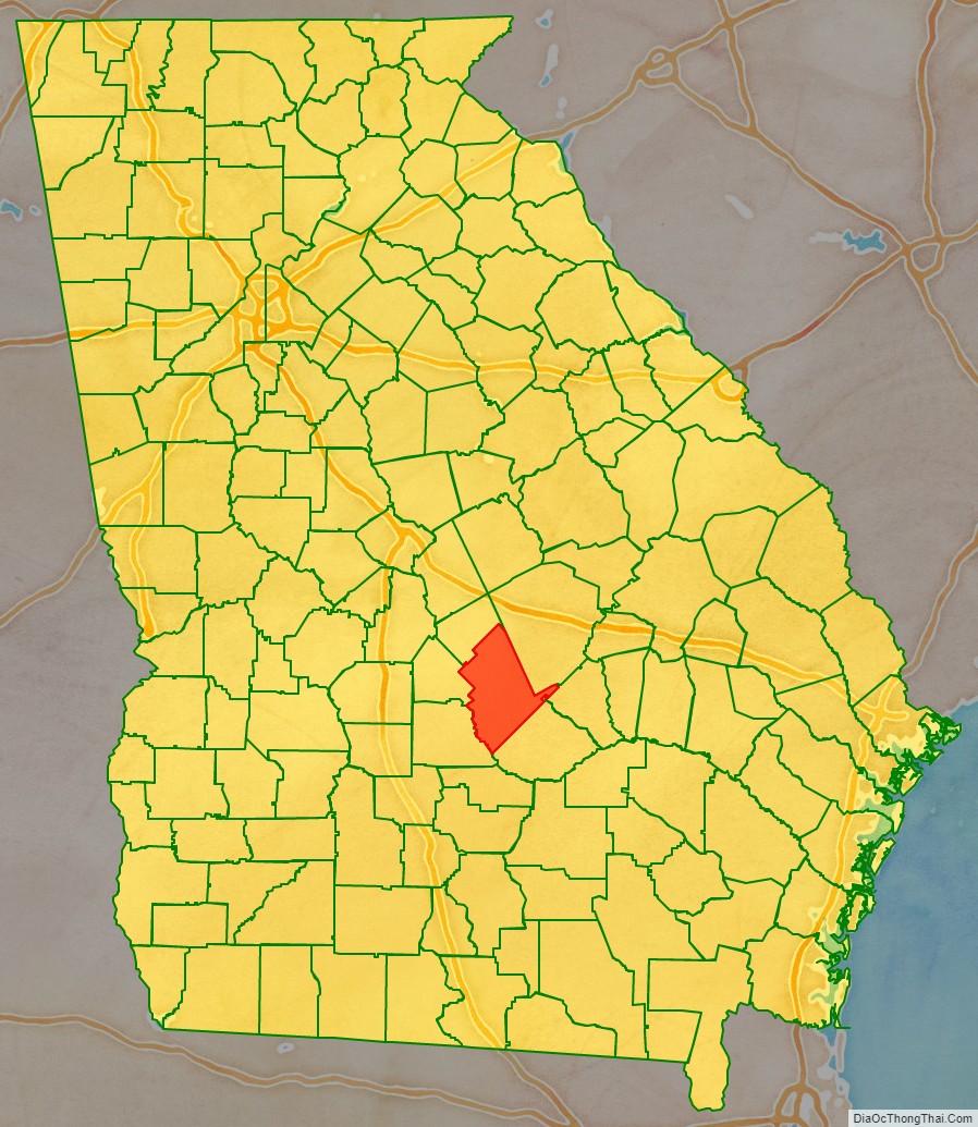
Dodge County location map. Where is Dodge County?
History
Prior to 1802, this section of Georgia was owned by the Creek Indians. Treaties were made in 1802-1805 by which all lands east of the Ocmulgee River were taken from the Creek Indians. This land was distributed by lottery to the citizens of Georgia. In 1803 Wilkinson County was organized under that treaty. Telfair and Laurens counties were formed from Wilkinson County. In 1808 Pulaski County was formed from Laurens. In 1869, the Macon and Brunswick Railroad was built. Towns began to spring up all up and down the line, and, as this section was so far removed from the county seat, Hawkinsville, it was deemed expedient to create a new county and place the county seat at this point. A large portion of the county was taken from Laurens County, and also smaller portions from Pulaski, Montgomery, and Telfair counties. Dodge County was organized on October 26, 1870, during the Reconstruction era. The county was named by the Republican-dominated legislature for William E. Dodge. The county courthouse was built by Dodge and used until 1908, on the same area the courthouse stands now.
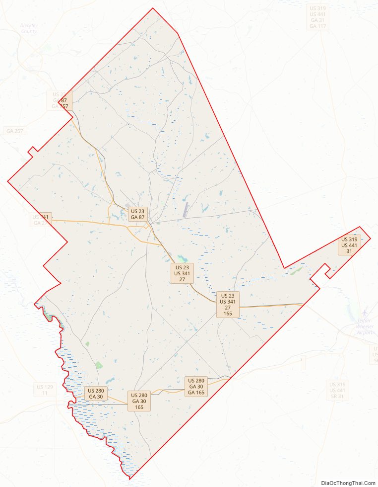
Dodge County Road Map
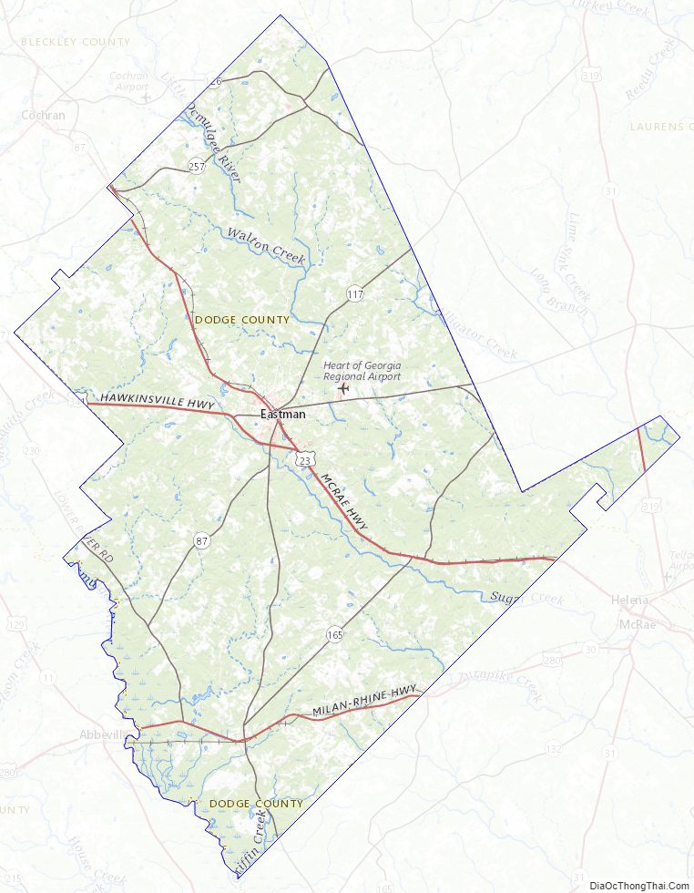
Geography
According to the U.S. Census Bureau, the county has a total area of 503 square miles (1,300 km), of which 496 square miles (1,280 km) is land and 7.2 square miles (19 km) (1.4%) is water.
The western half of Dodge County, roughly west of Eastman, is located in the Lower Ocmulgee River sub-basin of the Altamaha River basin. The eastern half of the county is located in the Little Ocmulgee River sub-basin of the same Altamaha River basin, with a small northern corner of Dodge County, north and west of Chester, located in the Lower Oconee River sub-basin of the larger Alamaha River basin. The rivers were important for trade, carrying cotton and timber downriver to markets.
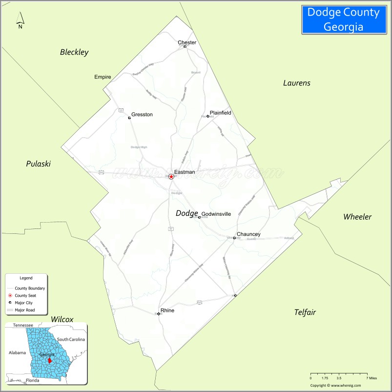
Adjacent counties
- Laurens County – northeast
- Wheeler County – east
- Telfair County – southeast
- Wilcox County – west
- Pulaski County – west
- Bleckley County – northwest
Dodge County Topographic Map
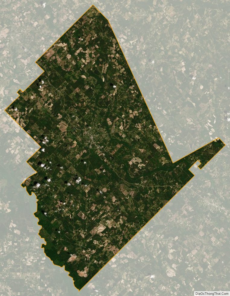
Dodge County Satellite Map
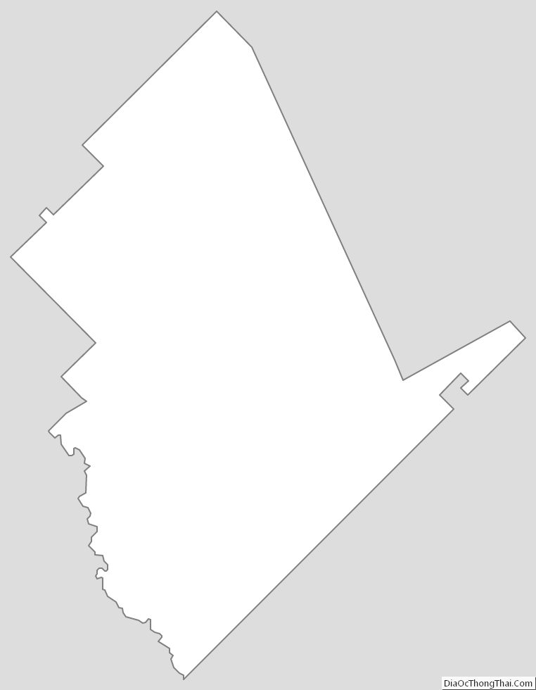
Dodge County Outline Map