Milan (/ˈmaɪlən/ MY-lən) is a city in Dodge and Telfair counties in the U.S. state of Georgia. The population was 700 at the 2010 census, down from 1,012 in 2000.
| Name: | Milan city |
|---|---|
| LSAD Code: | 25 |
| LSAD Description: | city (suffix) |
| State: | Georgia |
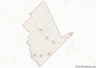
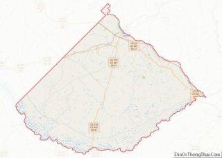
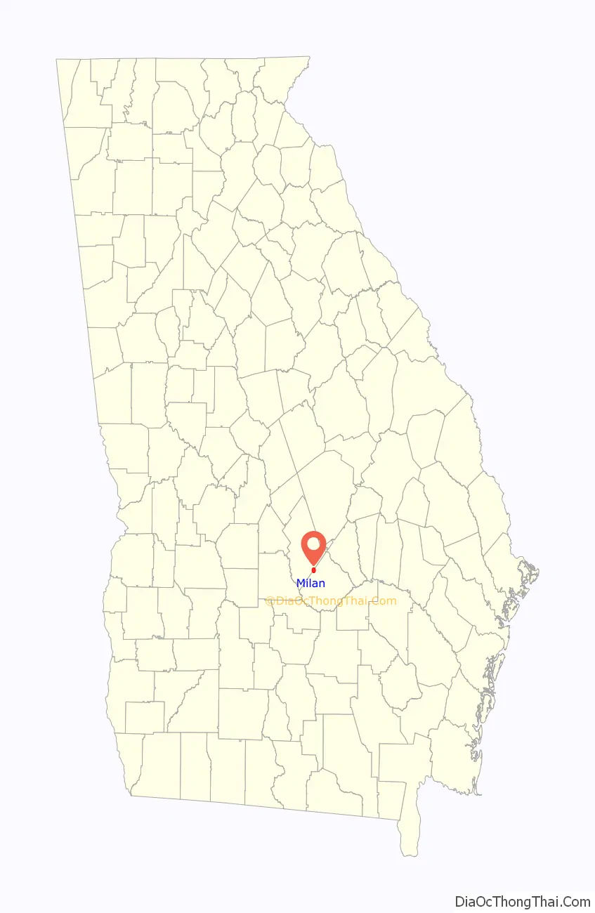
| County: | Dodge County, Telfair County |
| Elevation: | 312 ft (95 m) |
| Total Area: | 3.15 sq mi (8.16 km²) |
| Land Area: | 3.11 sq mi (8.06 km²) |
| Water Area: | 0.04 sq mi (0.10 km²) |
| Total Population: | 613 |
| Population Density: | 196.98/sq mi (76.05/km²) |
| ZIP code: | 31060 |
| Area code: | 229 |
| FIPS code: | 1351408 |
| GNISfeature ID: | 0318146 |
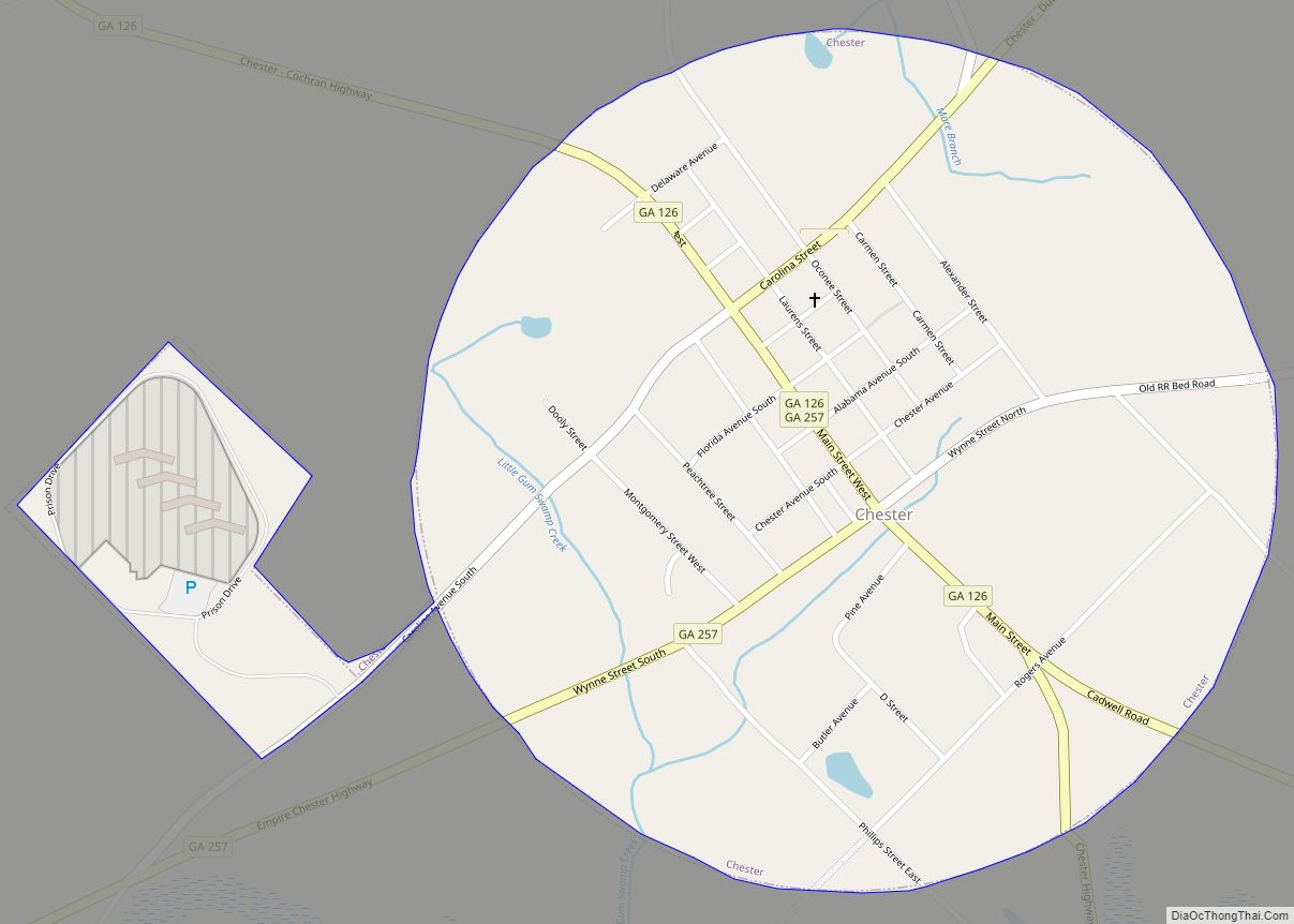
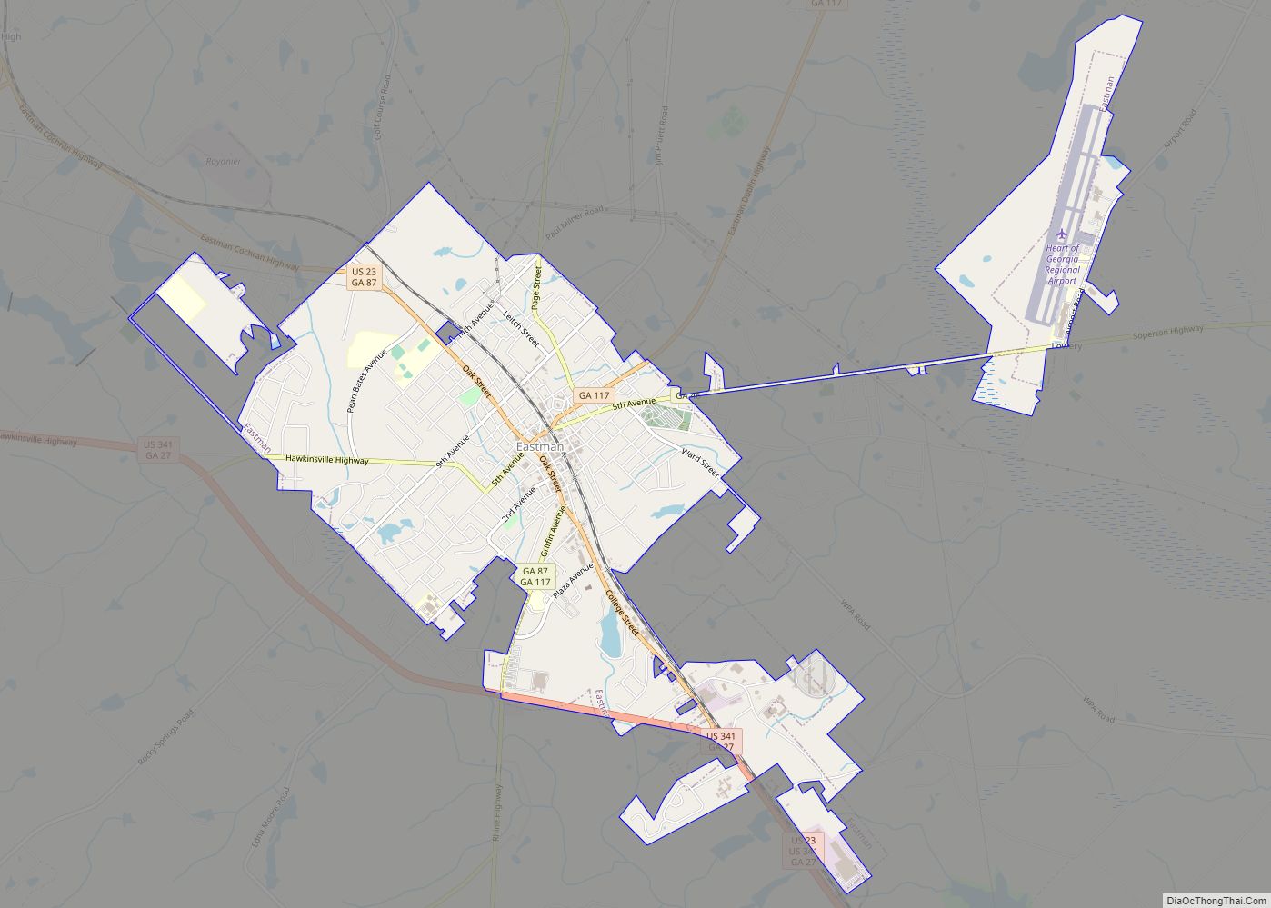
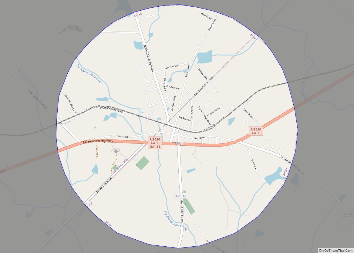
Online Interactive Map
Click on ![]() to view map in "full screen" mode.
to view map in "full screen" mode.
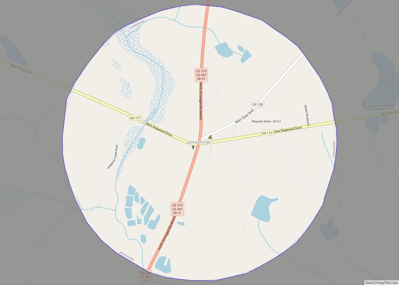
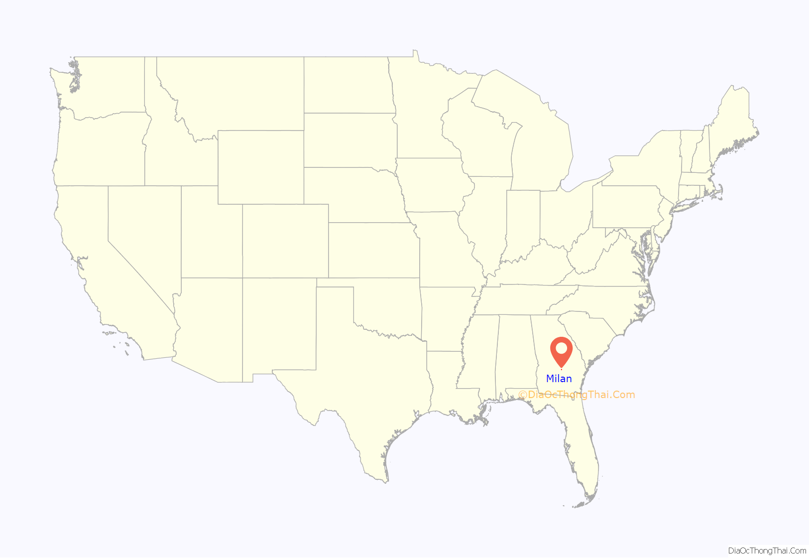
Milan location map. Where is Milan city?
History
Milan was founded in the 1880s when the railroad was extended to that point. The Georgia General Assembly incorporated Milan as a town in 1891. The city was named after Milan, in Italy.
On May 25, 1919, at the age of 72, a black man named Berry Washington defended two young black girls who were attacked by two drunken white men. A mob of 75 to 100 white men hung him from a post, then shot his corpse to pieces. In spite of a $1,000 reward offered by Governor Dorsey, no one was ever arrested.
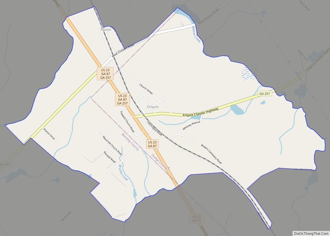
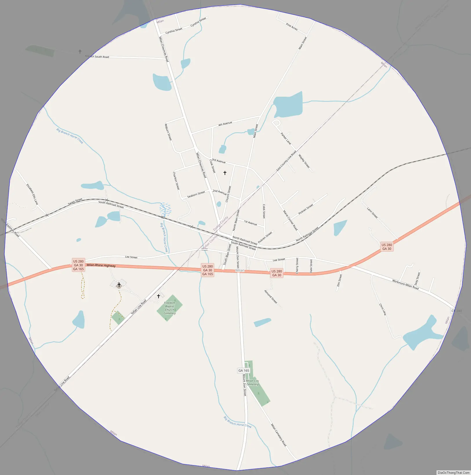
Milan Road Map
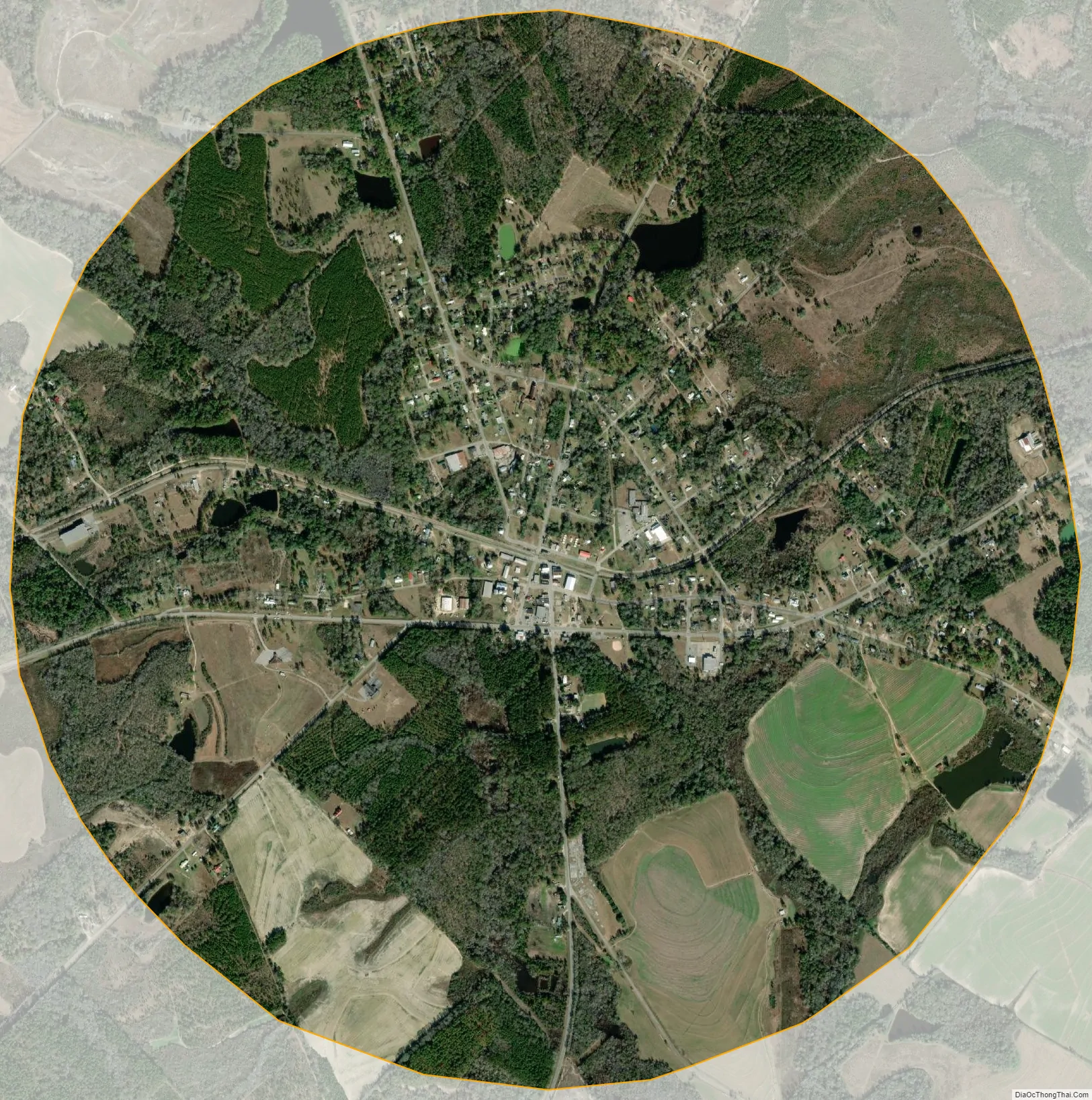
Milan city Satellite Map
Geography
Milan is located in southeastern Dodge County and northwestern Telfair County at 32°1′13″N 83°3′51″W / 32.02028°N 83.06417°W / 32.02028; -83.06417 (32.020195, -83.064091). The county boundary passes through the center of the city. U.S. Route 280 passes through the city just south of the center, leading east 10 miles (16 km) to McRae and west 15 miles (24 km) to Abbeville.
According to the United States Census Bureau, the town has a total area of 3.2 square miles (8.2 km), of which 3.1 square miles (8.1 km) is land and 0.04 square miles (0.1 km), or 1.26%, is water.
See also
Map of Georgia State and its subdivision:- Appling
- Atkinson
- Bacon
- Baker
- Baldwin
- Banks
- Barrow
- Bartow
- Ben Hill
- Berrien
- Bibb
- Bleckley
- Brantley
- Brooks
- Bryan
- Bulloch
- Burke
- Butts
- Calhoun
- Camden
- Candler
- Carroll
- Catoosa
- Charlton
- Chatham
- Chattahoochee
- Chattooga
- Cherokee
- Clarke
- Clay
- Clayton
- Clinch
- Cobb
- Coffee
- Colquitt
- Columbia
- Cook
- Coweta
- Crawford
- Crisp
- Dade
- Dawson
- Decatur
- DeKalb
- Dodge
- Dooly
- Dougherty
- Douglas
- Early
- Echols
- Effingham
- Elbert
- Emanuel
- Evans
- Fannin
- Fayette
- Floyd
- Forsyth
- Franklin
- Fulton
- Gilmer
- Glascock
- Glynn
- Gordon
- Grady
- Greene
- Gwinnett
- Habersham
- Hall
- Hancock
- Haralson
- Harris
- Hart
- Heard
- Henry
- Houston
- Irwin
- Jackson
- Jasper
- Jeff Davis
- Jefferson
- Jenkins
- Johnson
- Jones
- Lamar
- Lanier
- Laurens
- Lee
- Liberty
- Lincoln
- Long
- Lowndes
- Lumpkin
- Macon
- Madison
- Marion
- McDuffie
- McIntosh
- Meriwether
- Miller
- Mitchell
- Monroe
- Montgomery
- Morgan
- Murray
- Muscogee
- Newton
- Oconee
- Oglethorpe
- Paulding
- Peach
- Pickens
- Pierce
- Pike
- Polk
- Pulaski
- Putnam
- Quitman
- Rabun
- Randolph
- Richmond
- Rockdale
- Schley
- Screven
- Seminole
- Spalding
- Stephens
- Stewart
- Sumter
- Talbot
- Taliaferro
- Tattnall
- Taylor
- Telfair
- Terrell
- Thomas
- Tift
- Toombs
- Towns
- Treutlen
- Troup
- Turner
- Twiggs
- Union
- Upson
- Walker
- Walton
- Ware
- Warren
- Washington
- Wayne
- Webster
- Wheeler
- White
- Whitfield
- Wilcox
- Wilkes
- Wilkinson
- Worth
- Alabama
- Alaska
- Arizona
- Arkansas
- California
- Colorado
- Connecticut
- Delaware
- District of Columbia
- Florida
- Georgia
- Hawaii
- Idaho
- Illinois
- Indiana
- Iowa
- Kansas
- Kentucky
- Louisiana
- Maine
- Maryland
- Massachusetts
- Michigan
- Minnesota
- Mississippi
- Missouri
- Montana
- Nebraska
- Nevada
- New Hampshire
- New Jersey
- New Mexico
- New York
- North Carolina
- North Dakota
- Ohio
- Oklahoma
- Oregon
- Pennsylvania
- Rhode Island
- South Carolina
- South Dakota
- Tennessee
- Texas
- Utah
- Vermont
- Virginia
- Washington
- West Virginia
- Wisconsin
- Wyoming